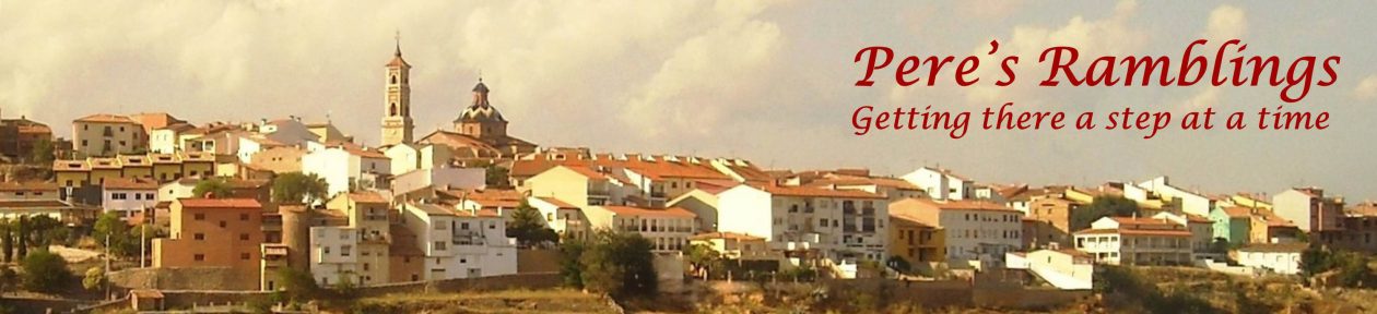
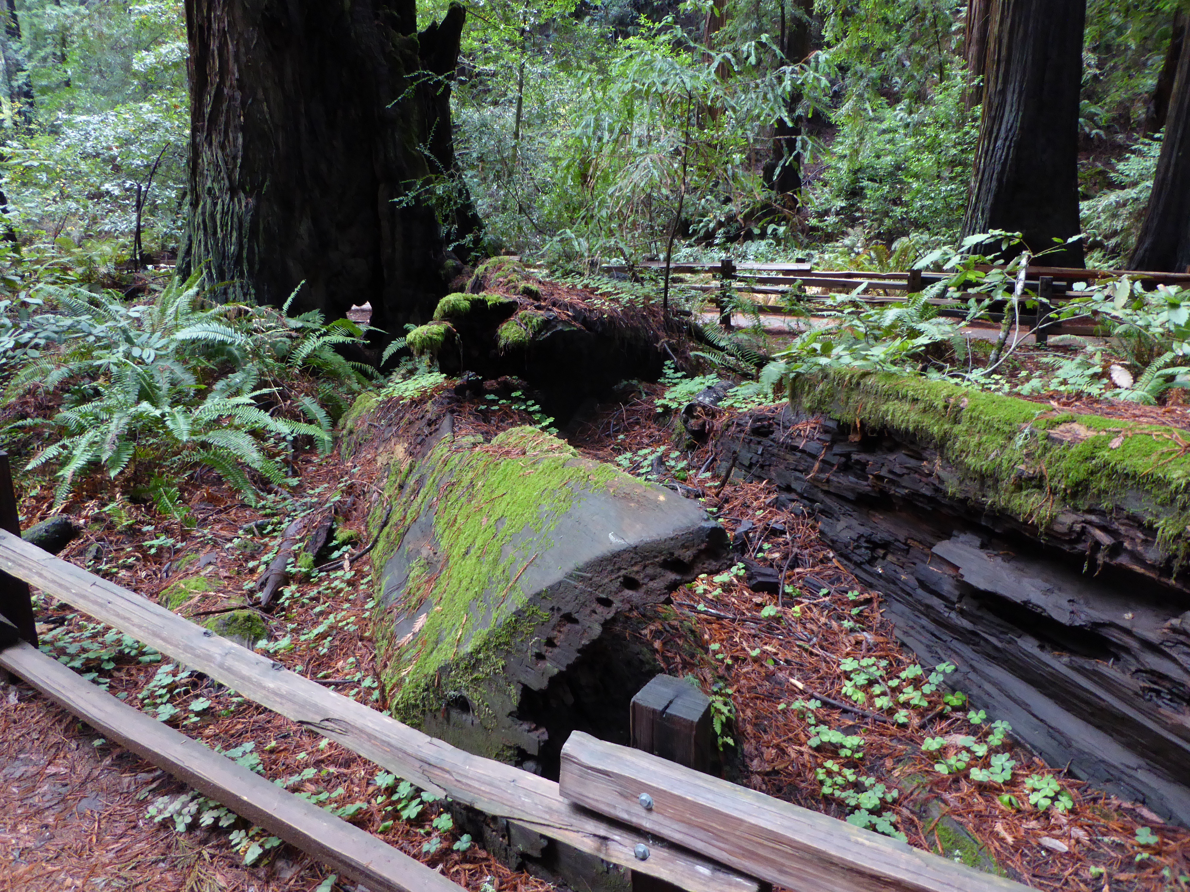
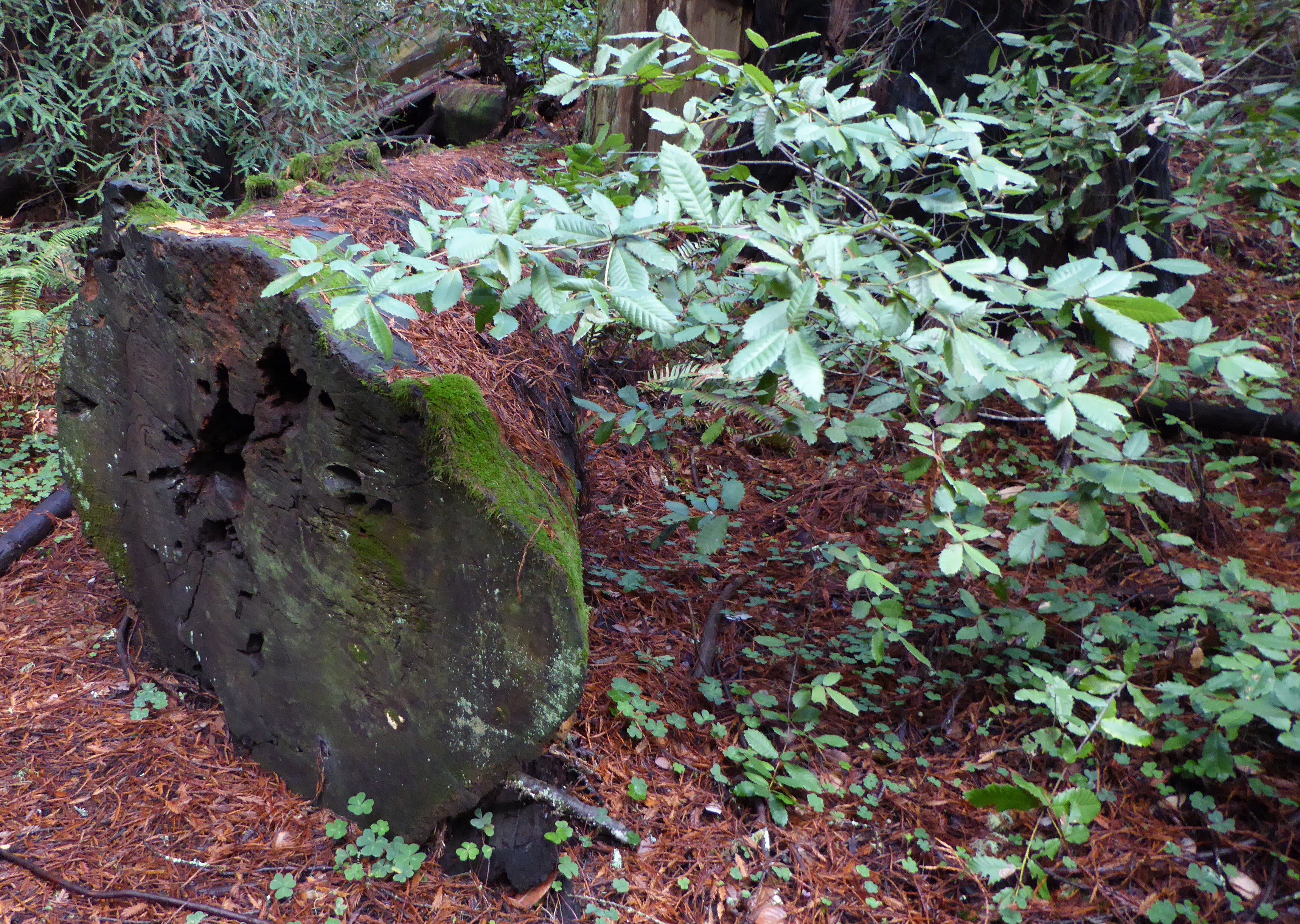
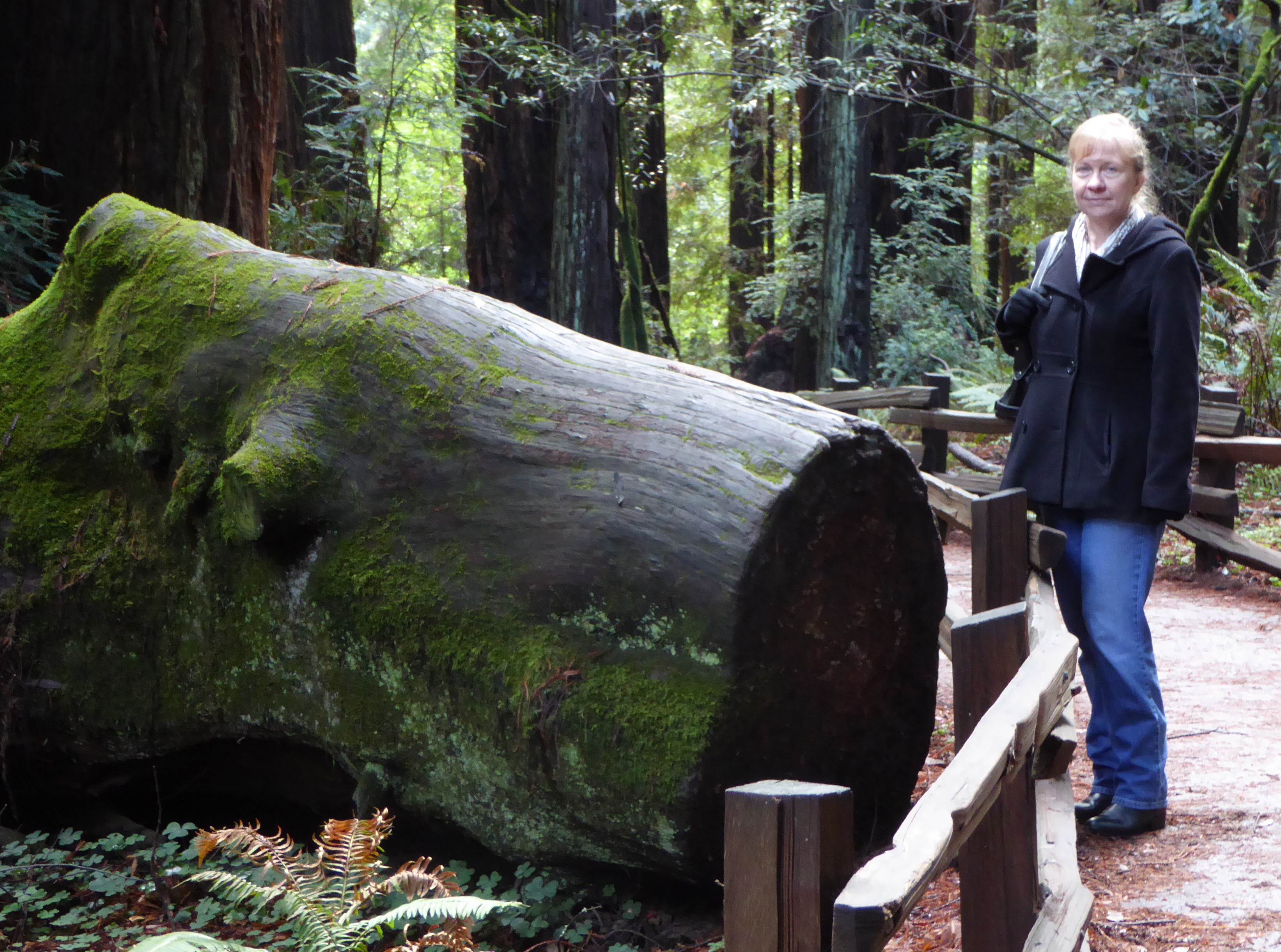
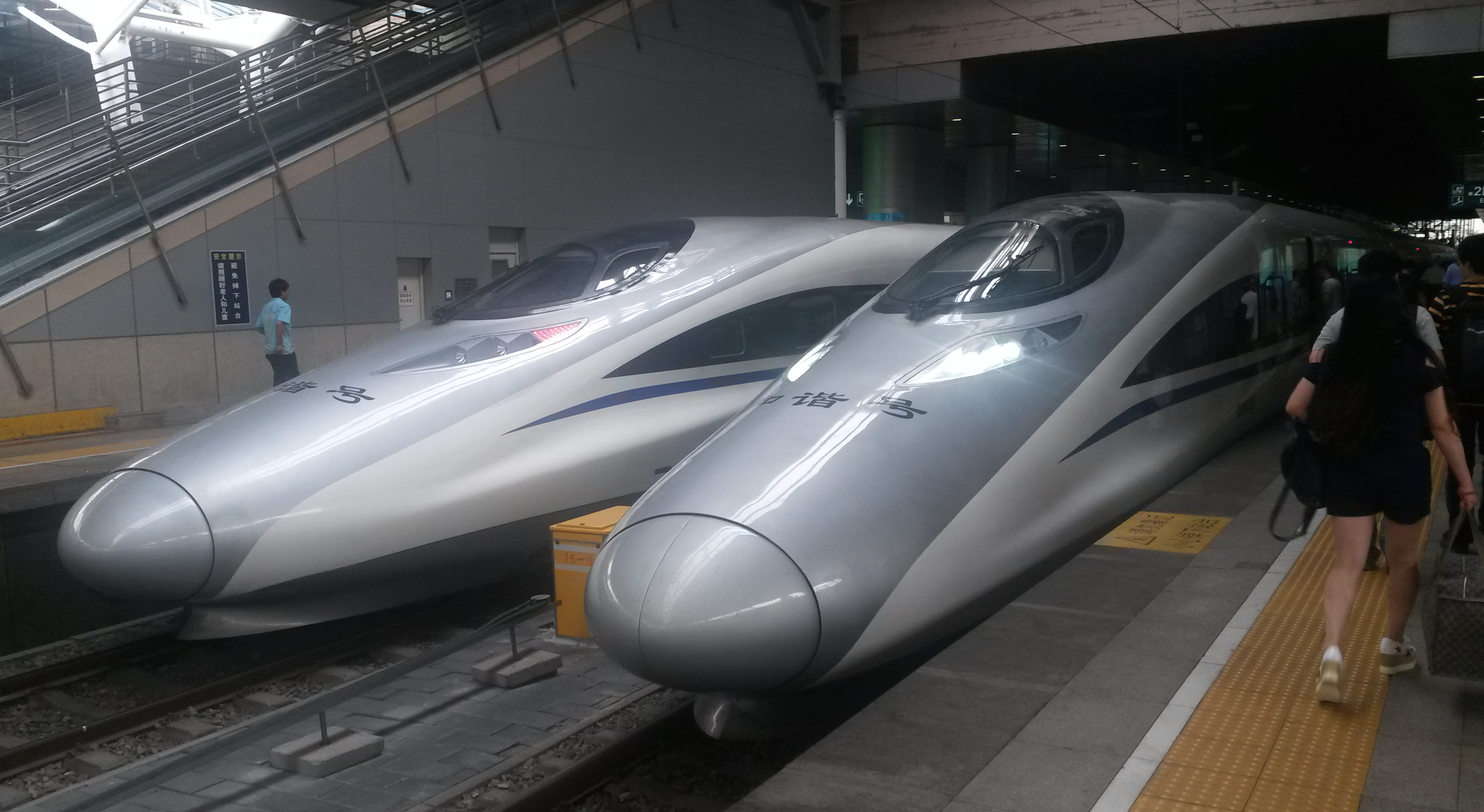
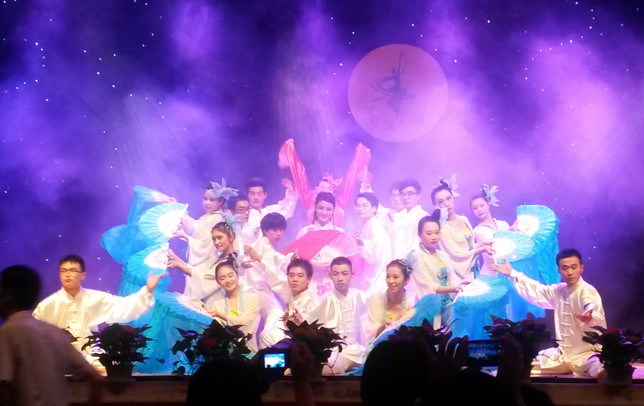
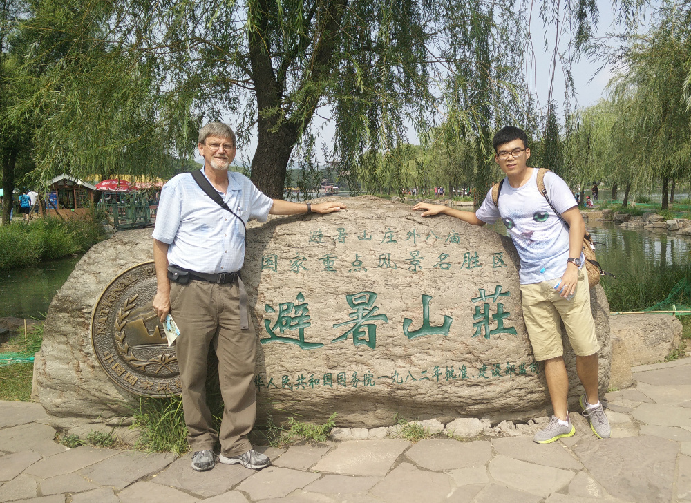
 Touring China after the program-
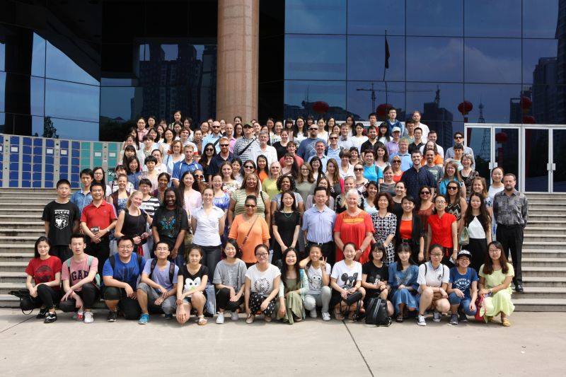
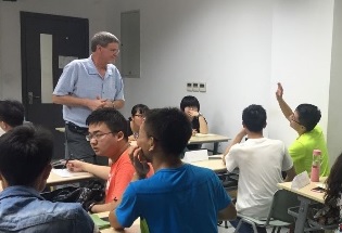
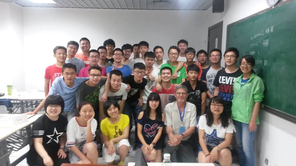
(Clicking on any of the images will enlarge it. In many cases, clicking a second time will make it even bigger)
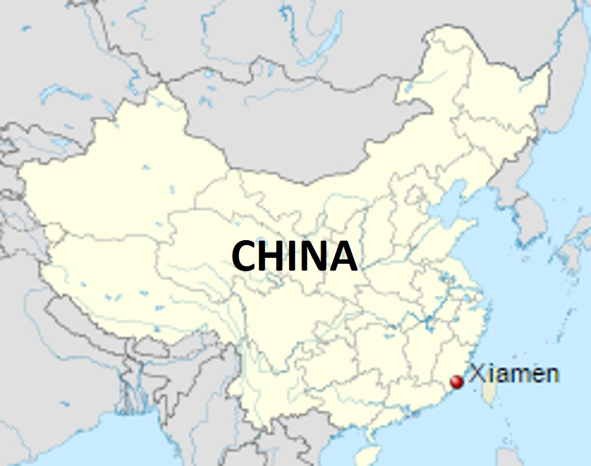
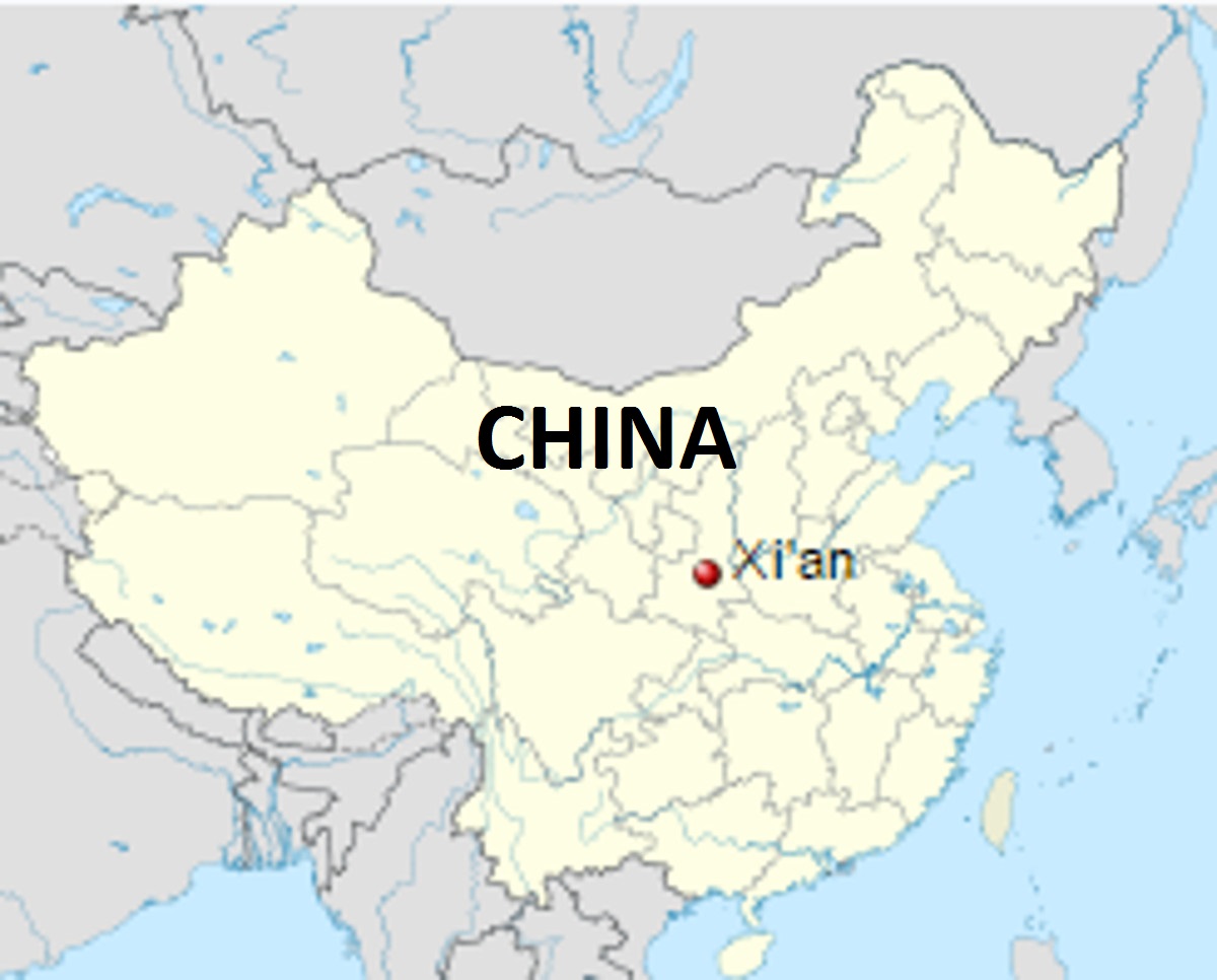
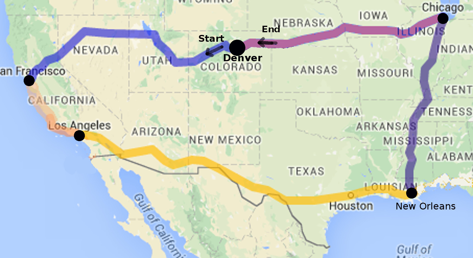
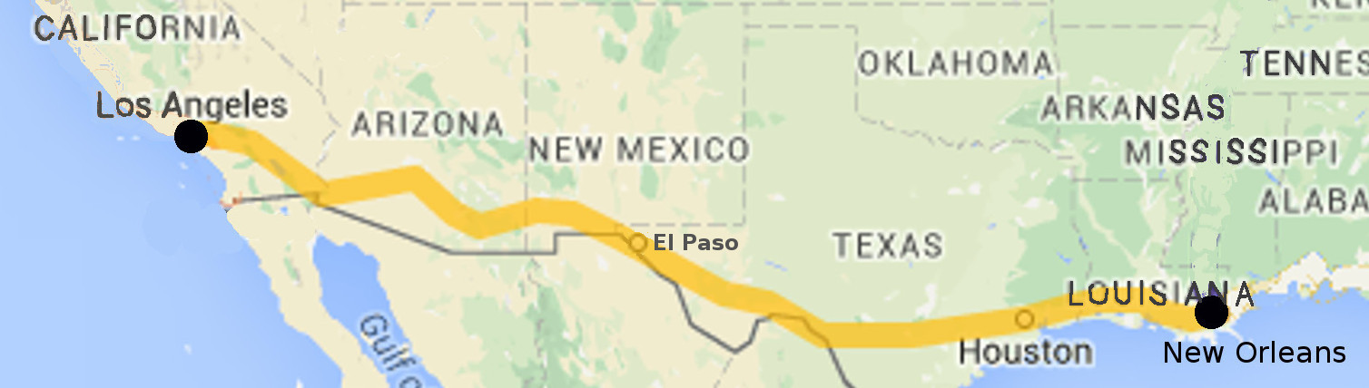
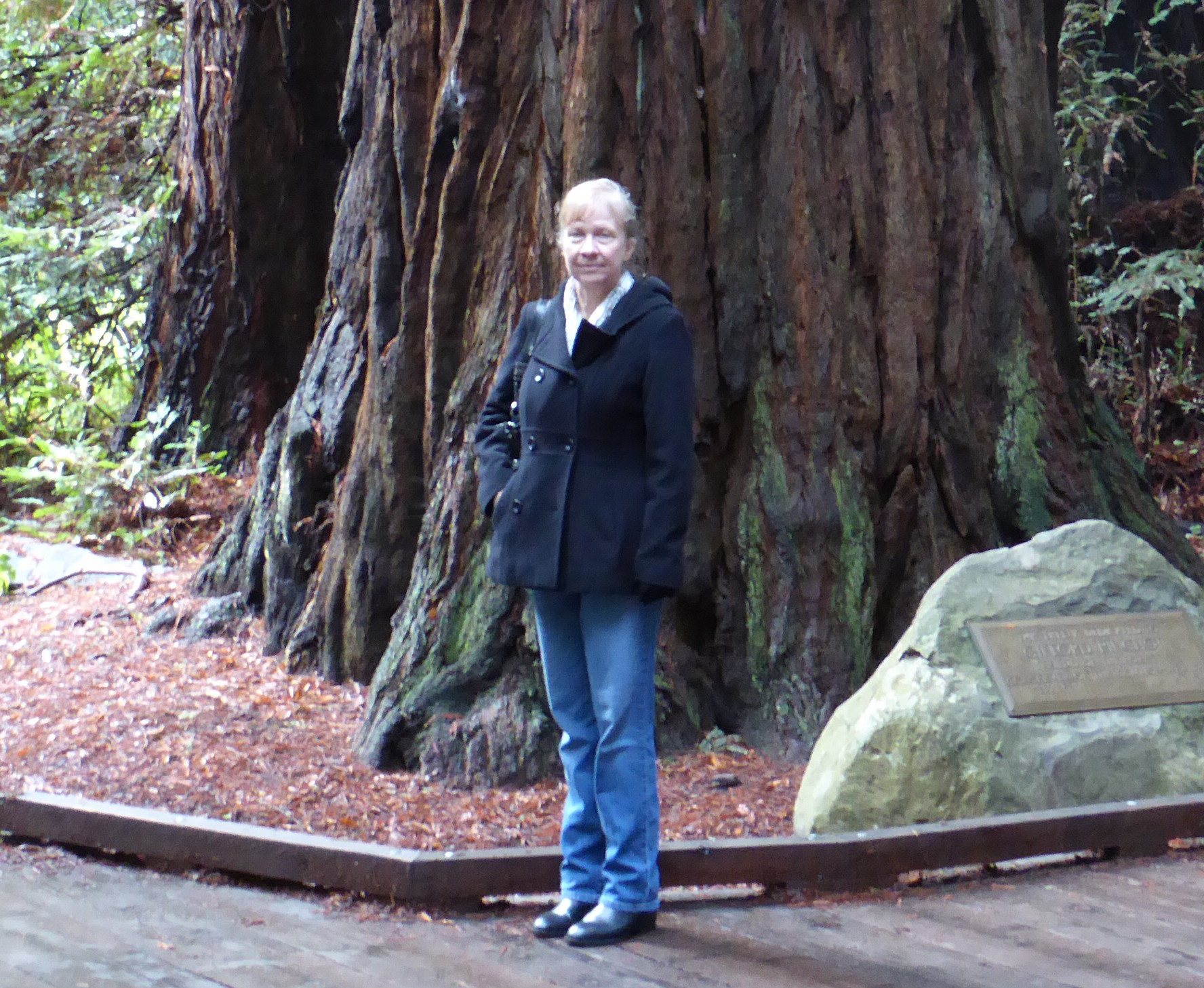
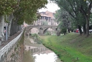
Once the program had ended, the various teachers headed off home, or for excursions in China. Last year Marlene and I went to a variety of spots, including Lhasa and Chengdu. So we decided to spend a week on the road before she was due to return to Colorado. This took us to Dunhuang, Jiayuguang, and Xining. Then we parted company and I continued on to Xiamen, Nanjing, Dalian, Dandong, and Shenyang.
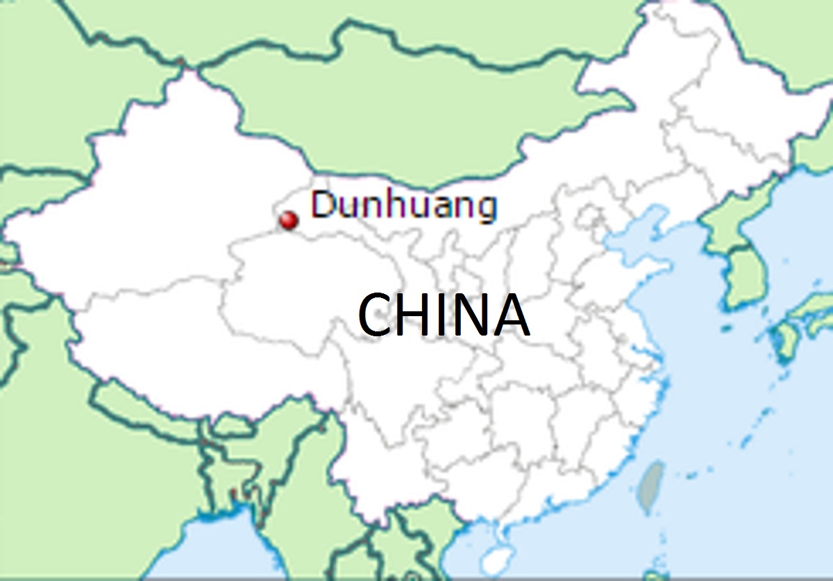
First Stop: Dunhuang 敦煌
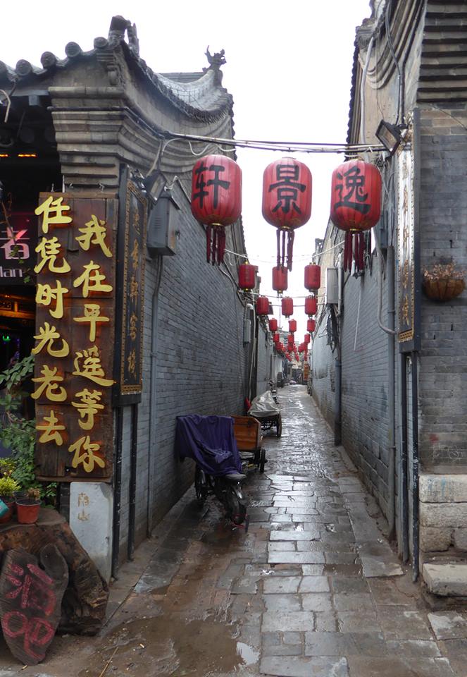
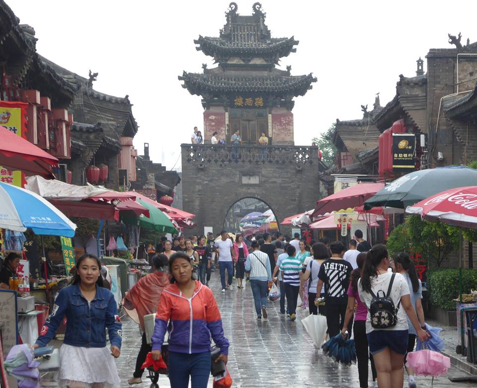
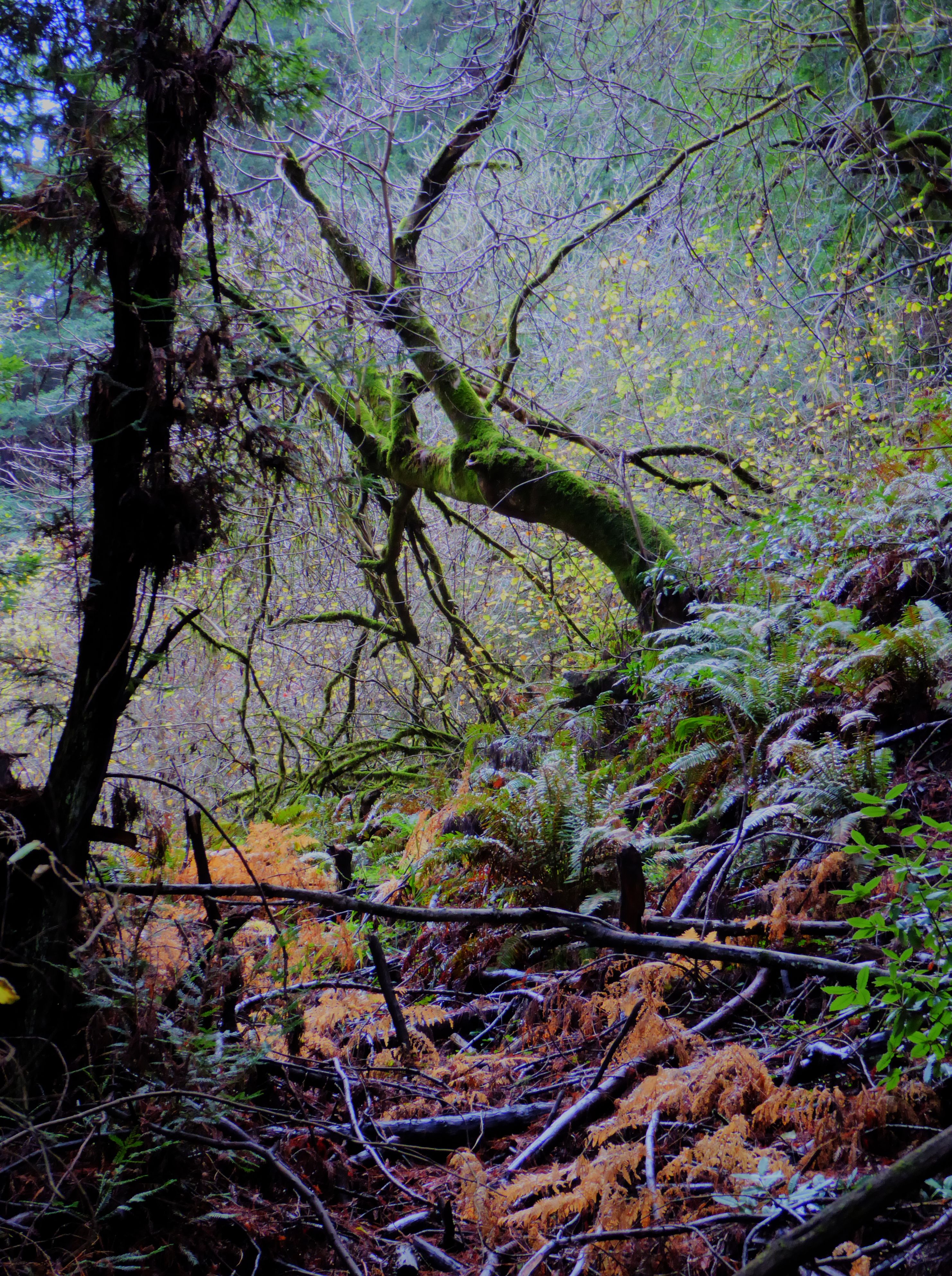
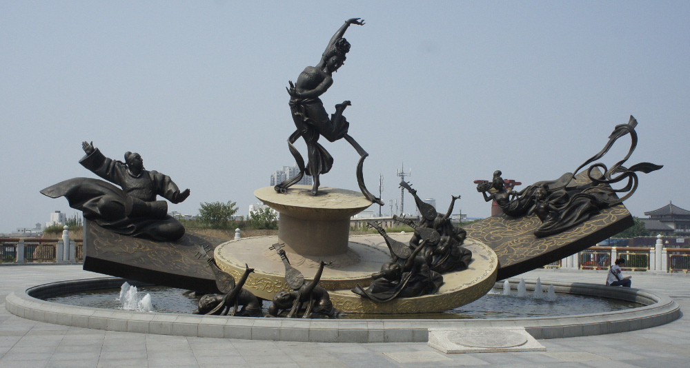
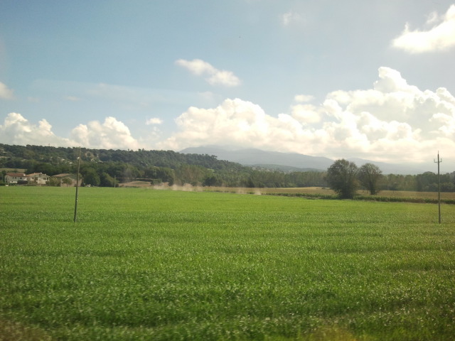
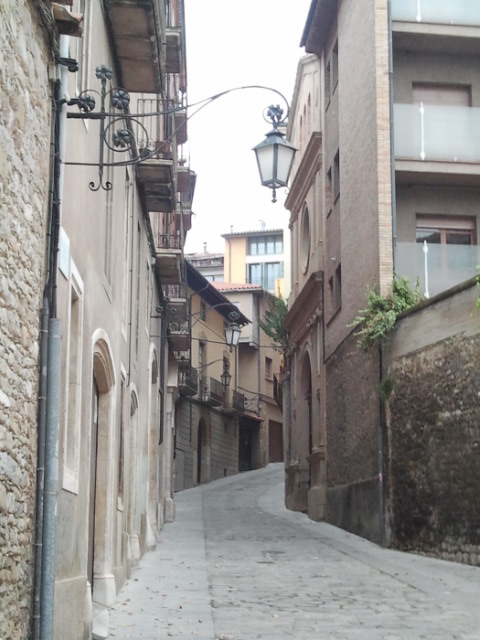
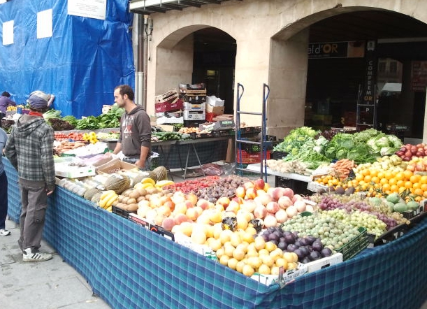
West of Xi’an in Gansu province, at the edge of the Gobi desert, is the small oasis city of Dunhuang.
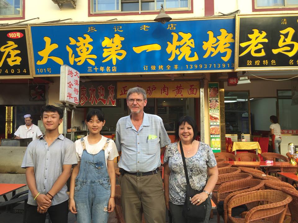
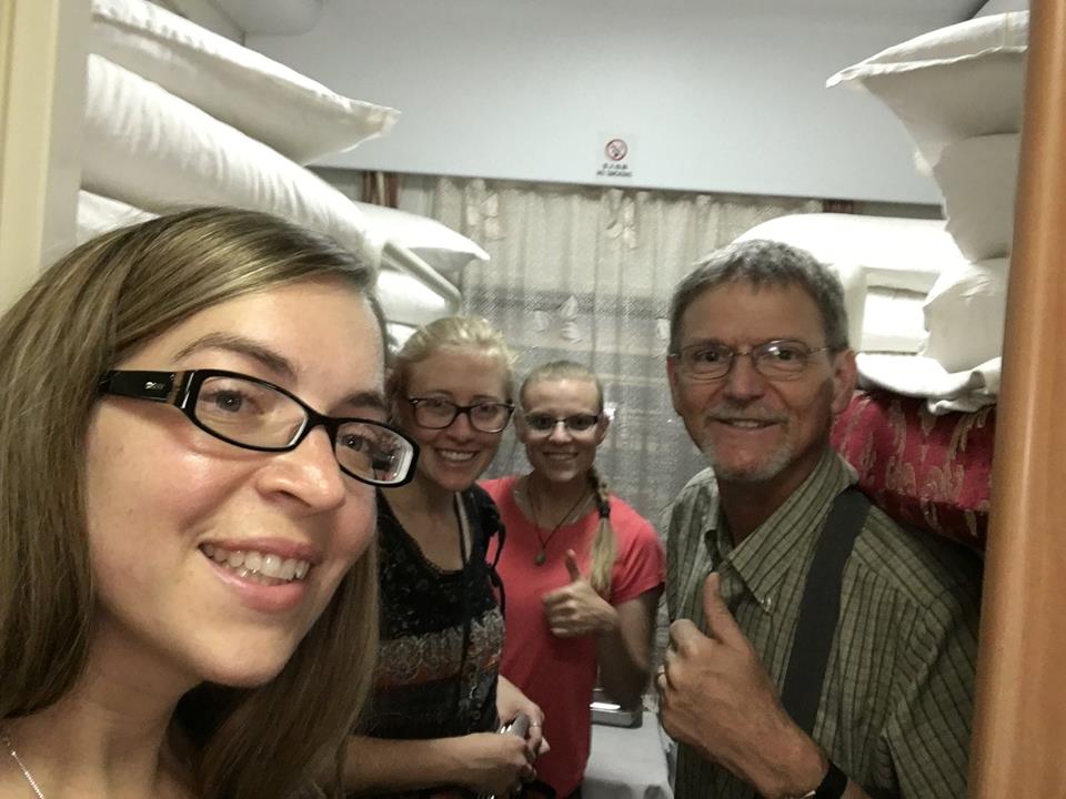
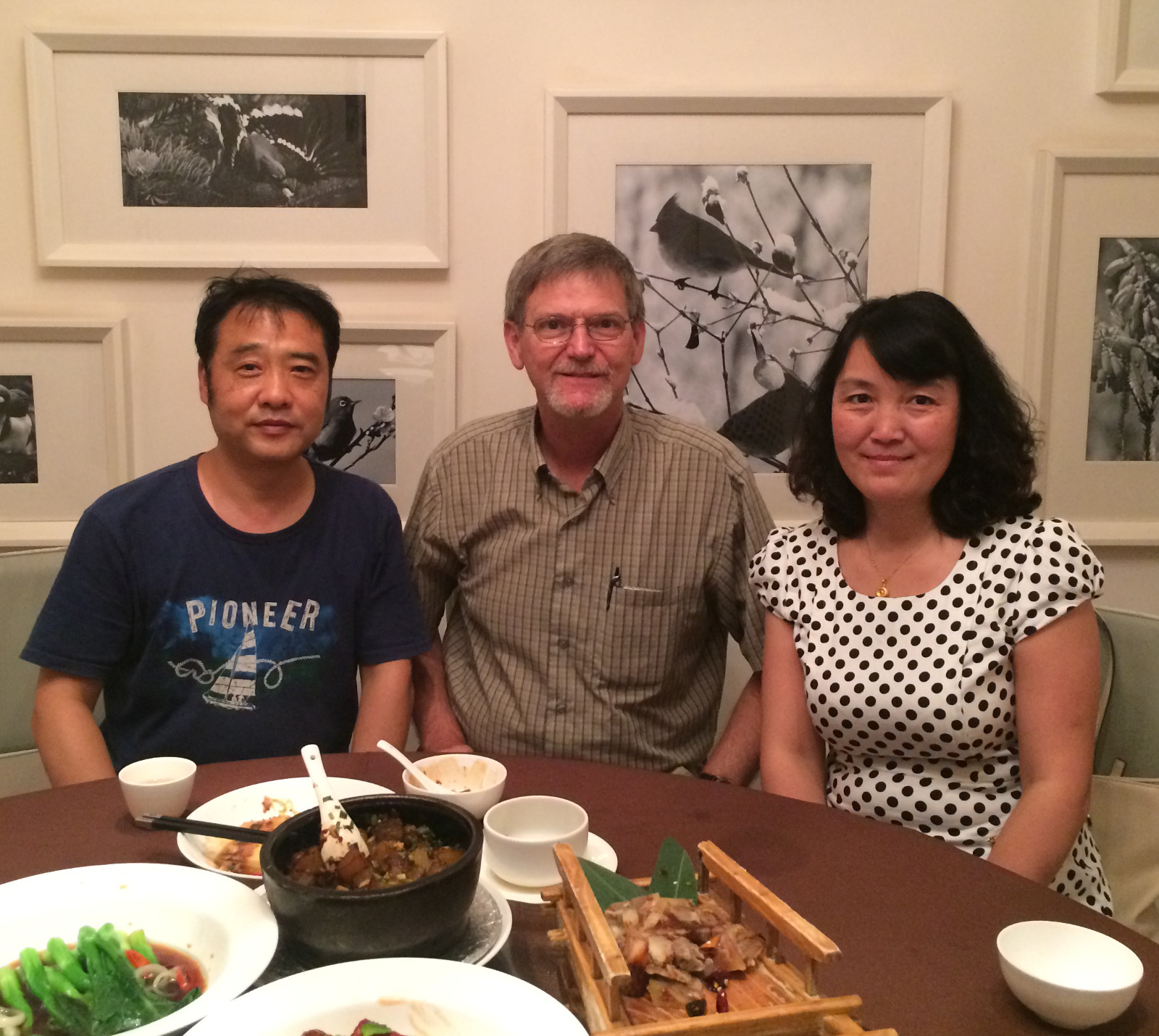
It was a wonderful place to visit. Our hotel was right in town, near a bustling night market. There was a seemingly endless number of restaurants within a short walk from our lodging. We labored over the decision of which restaurant would be best and decided on a small place with skewered meat. After our meal, two members of the staff insisted on posing for a photo with us.
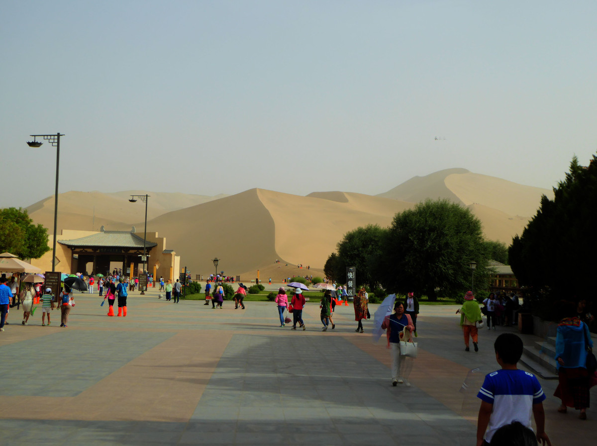
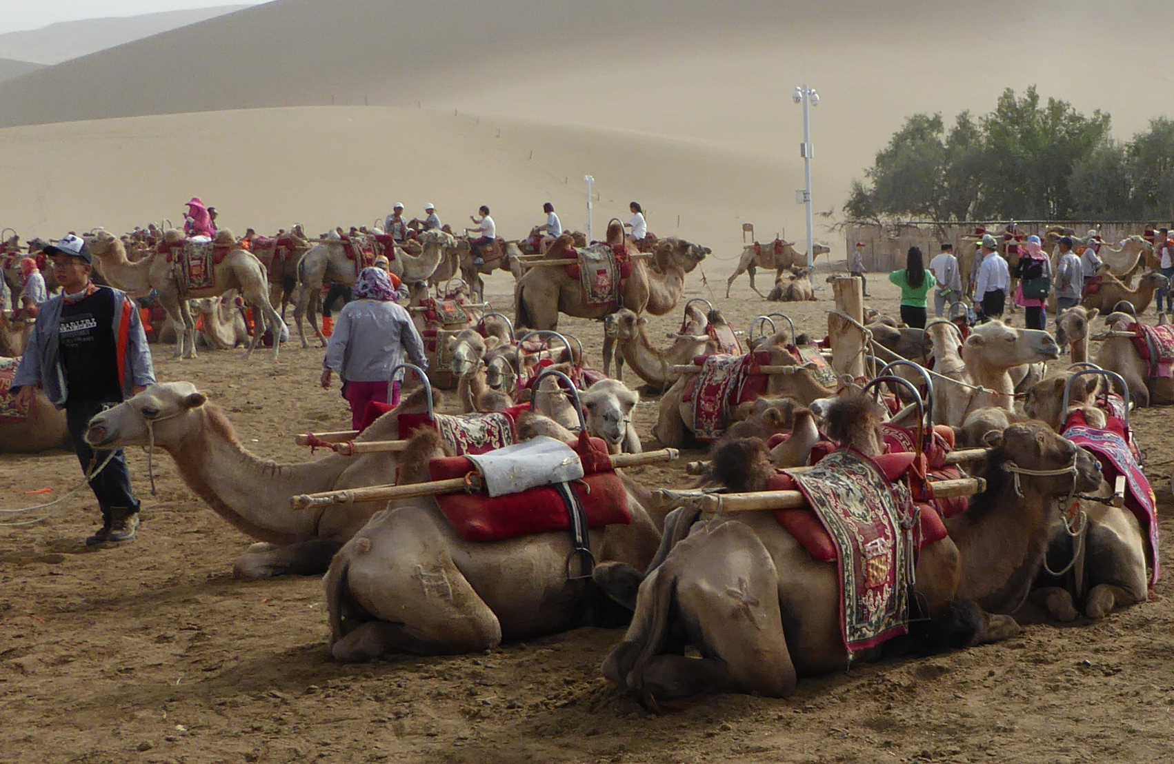
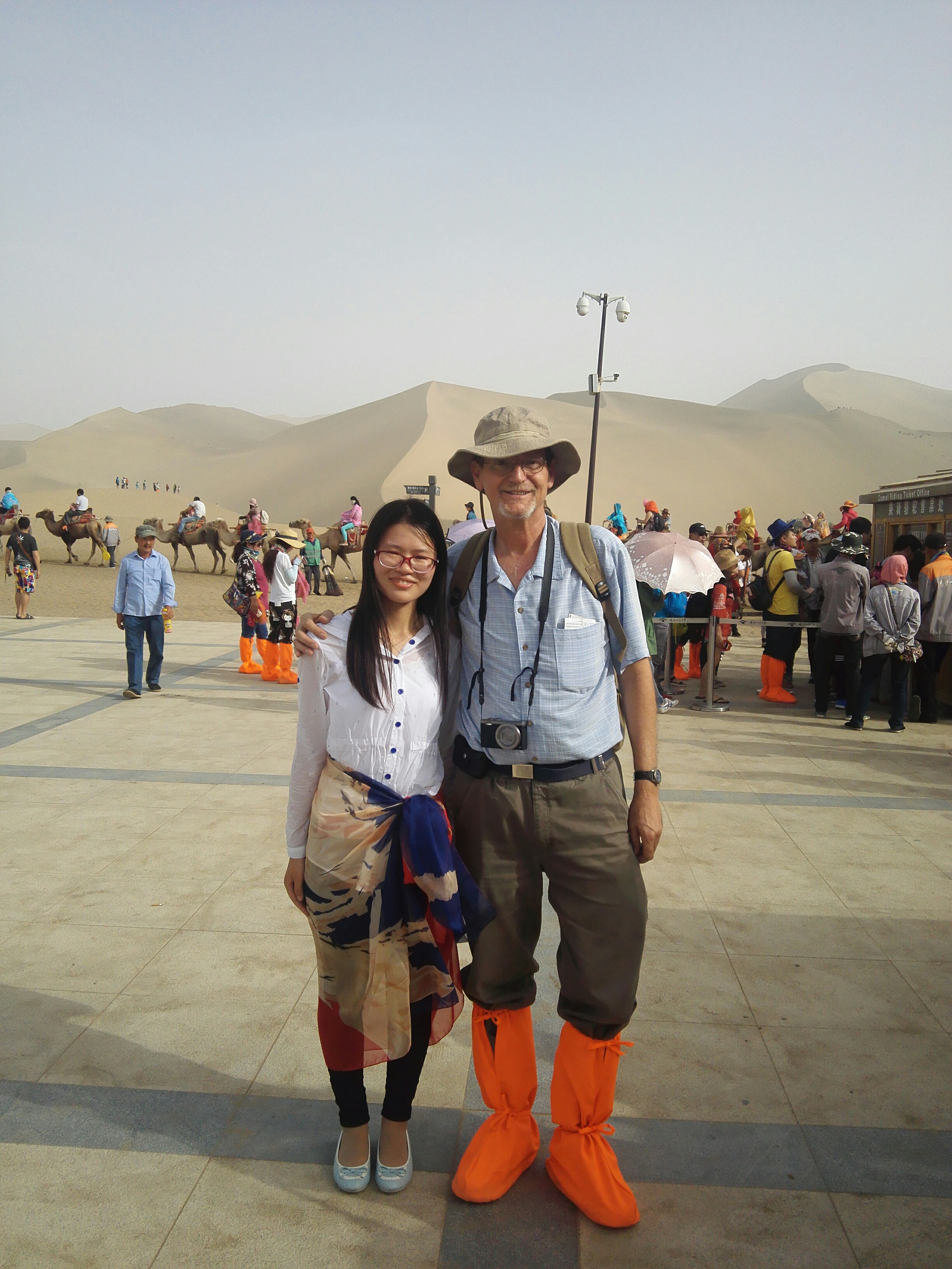
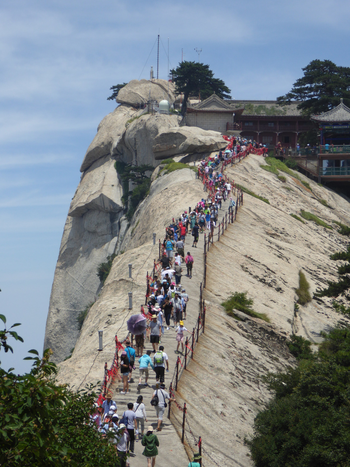
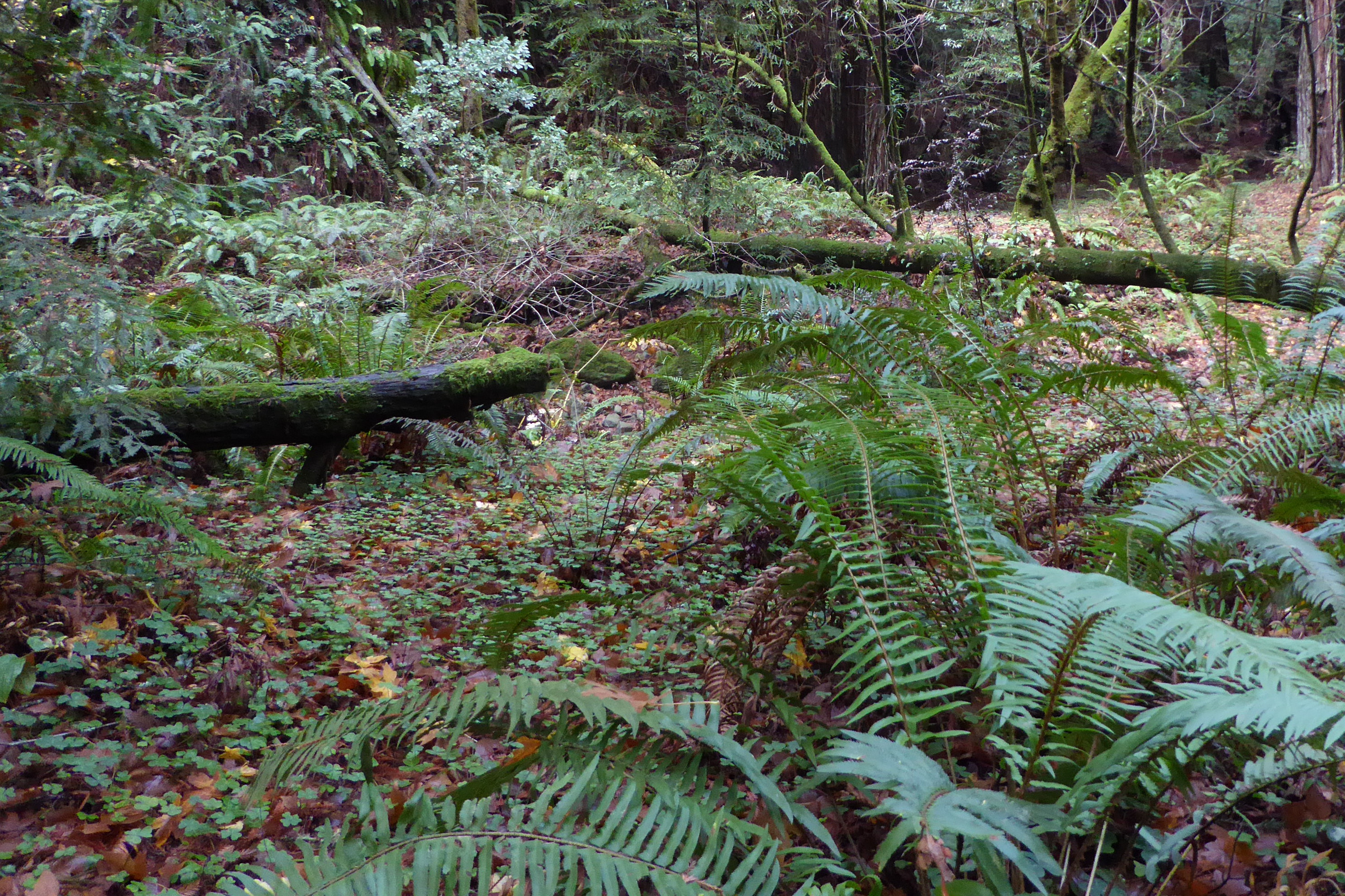
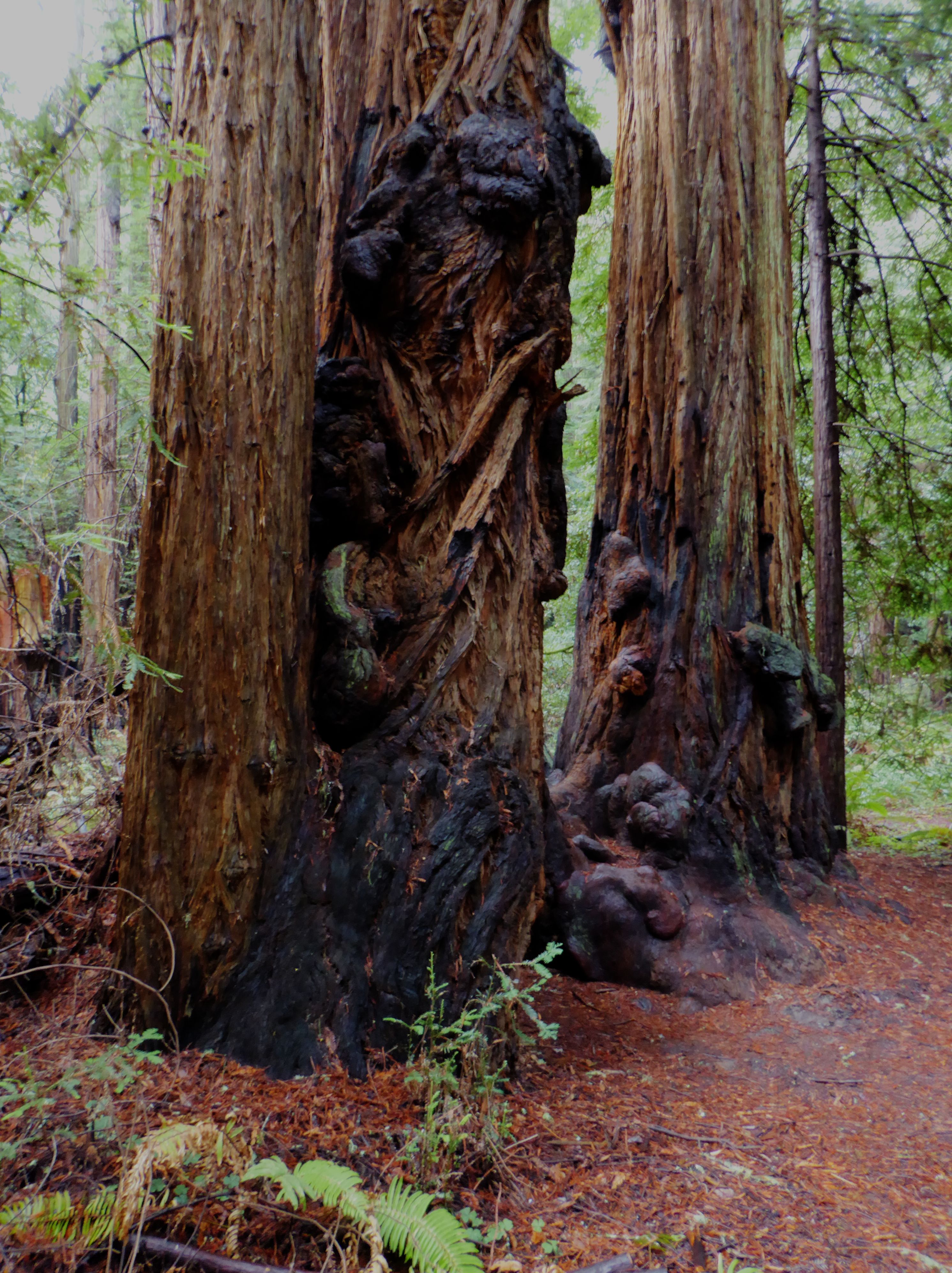
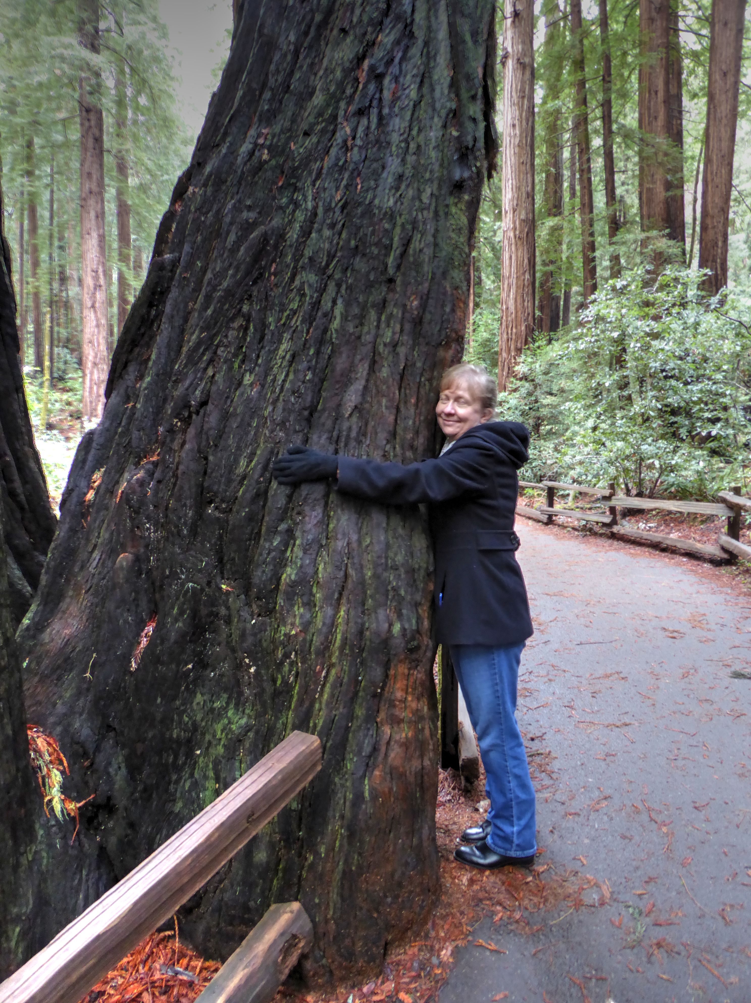
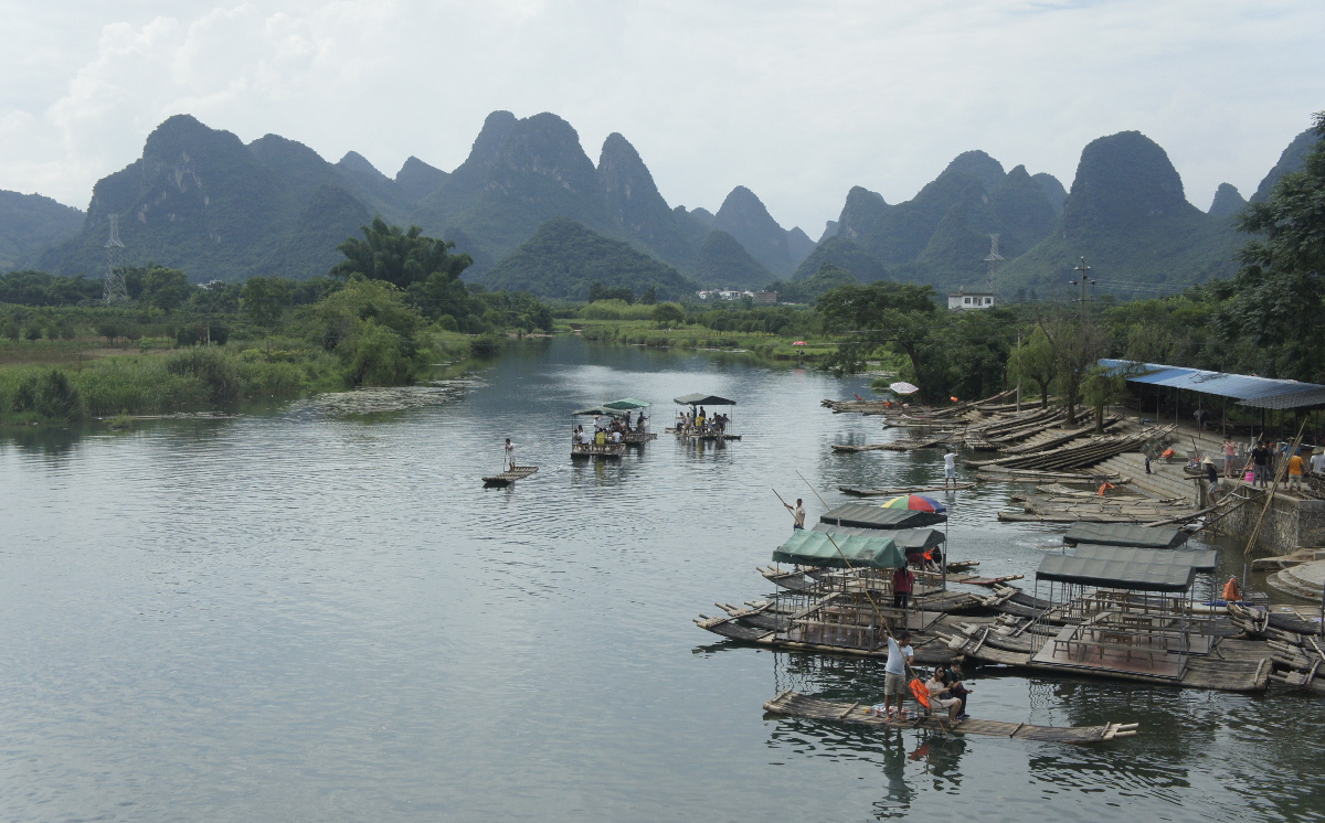
Mingsha shan 鸣沙山 (Singing Sand Mountain)
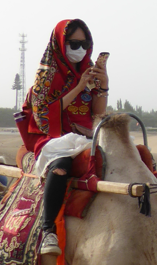
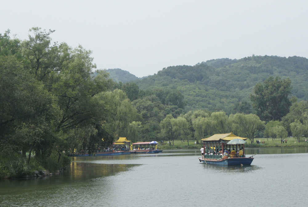
Not far from town, the desert begins. Mountain-sized dunes of sand provide a stunning backdrop to the area of of a small oasis called Crescent Lake. Somehow we managed to miss the lake itself, but it was impossible to miss the mountains! There were various recreational opportunities, including tiny one-person aircraft, jeeps, etc. We chose to ride camels.
A small world-
Near the base of the sand mountain there was a remarkable occurrence. I heard a voice speaking in English: “Are you Peter?” I turned around to see a young Chinese couple. The woman was “Cherry”, one of my students from the previous year’s classes in Xi’an. We were a thousand miles from Xi’an. China has a population of 1.4 billion people (that is 1,400 million to any Brits tuned in…) What are the chances of a casual encounter with someone you know? Well, it is a small world! 🙂
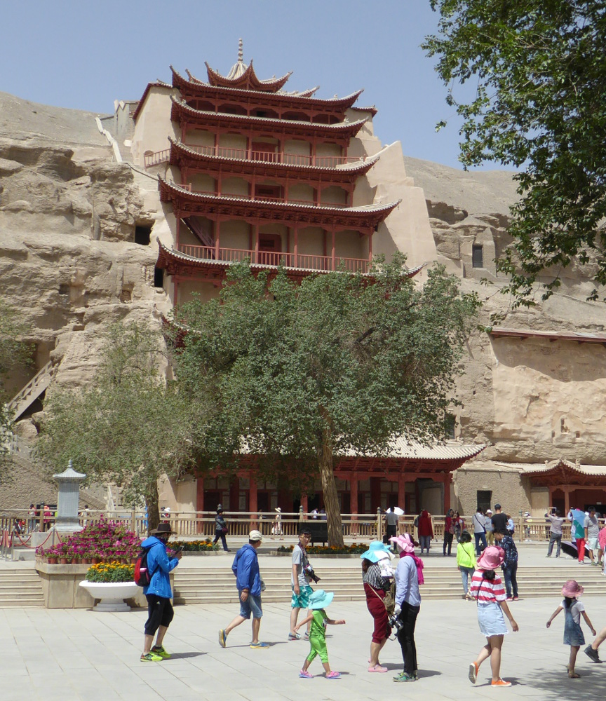
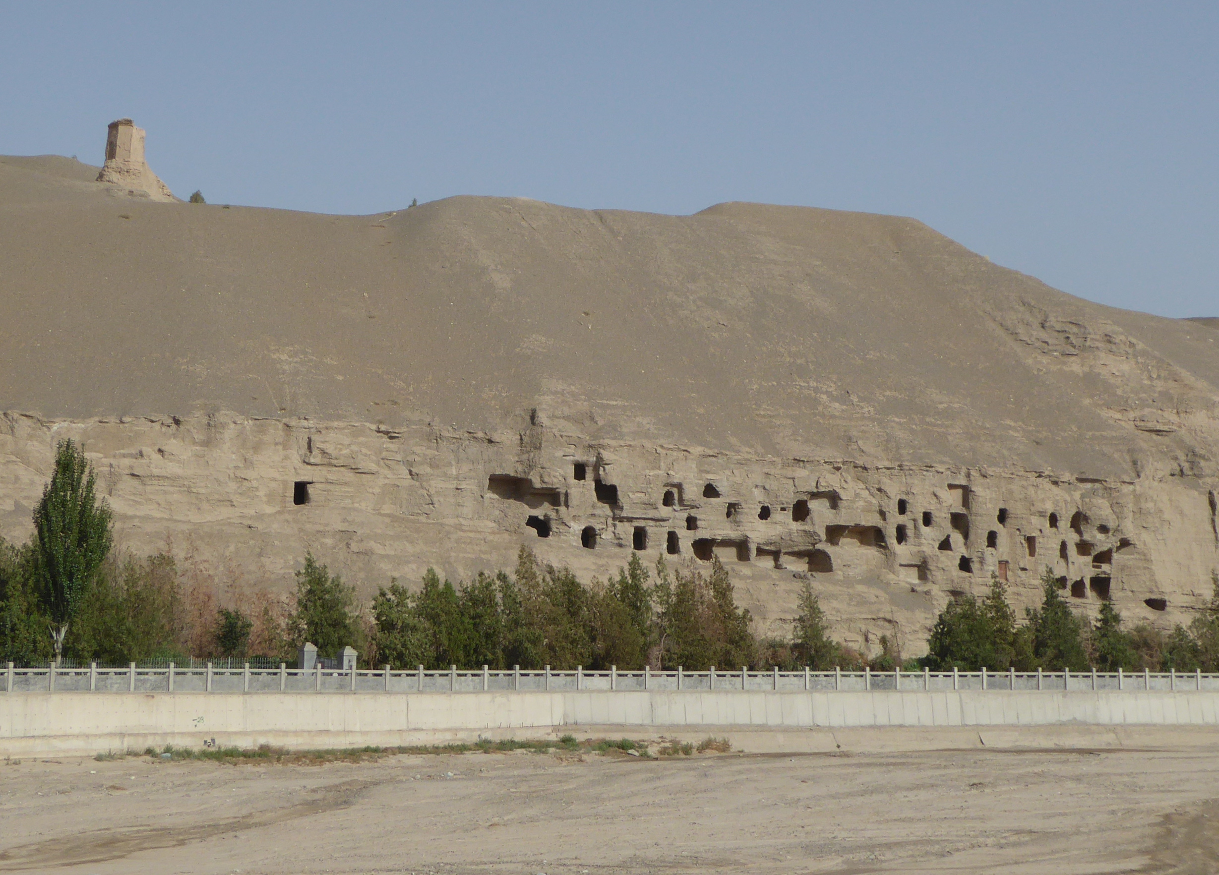
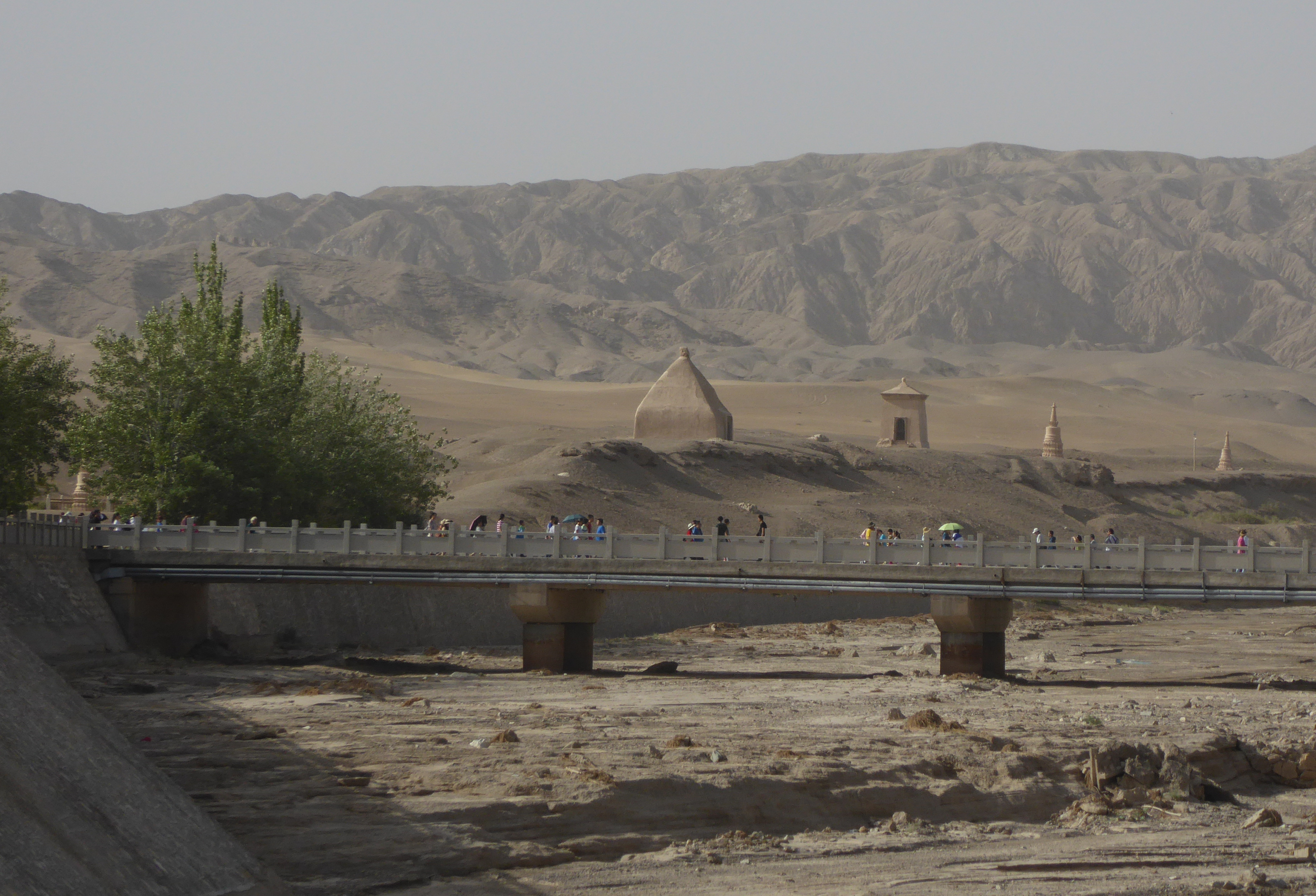
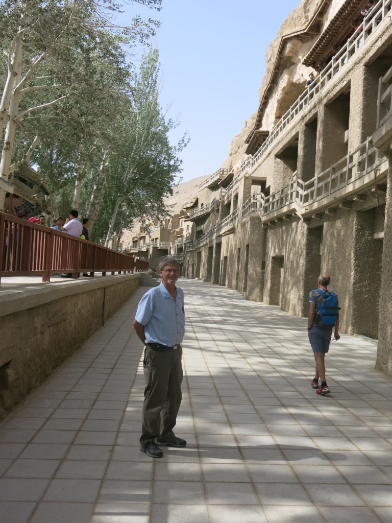
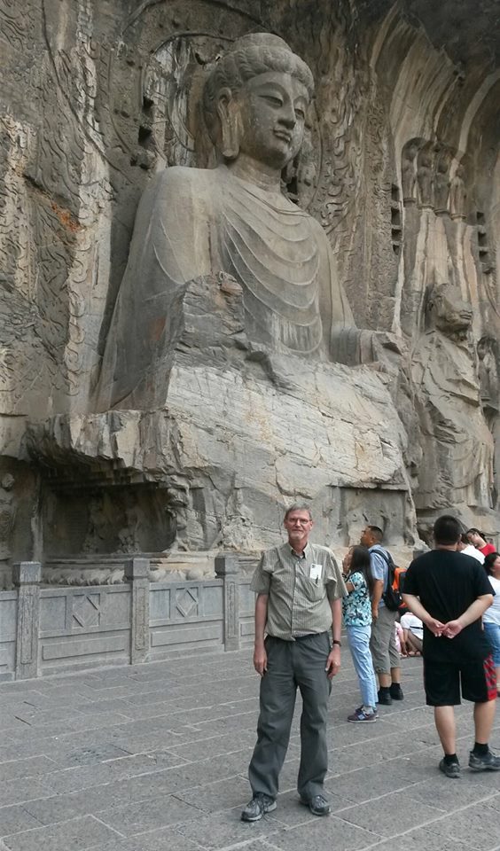
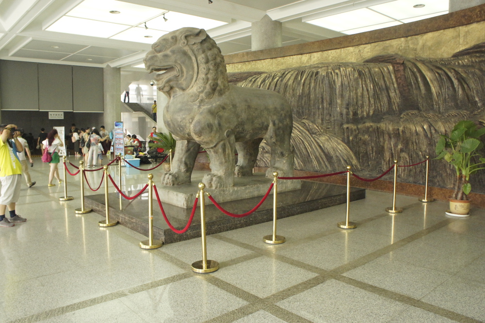
Mogao Caves 莫高窟
The mountains of sand were beautiful, but I was drawn to this location after reading an article six months previously in the New York Times about the fabulous Buddhist artwork in a series of hundreds of caves near Dunhuang.
I’m sorry that I have not included any photos of the wonderful art inside the caves. Taking pictures inside was strictly prohibited, and I respected that rule.
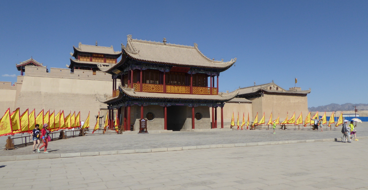
Jiayuguan 嘉峪关 (Jiayu Pass)
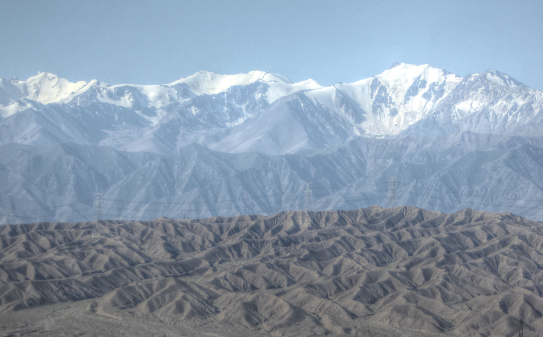
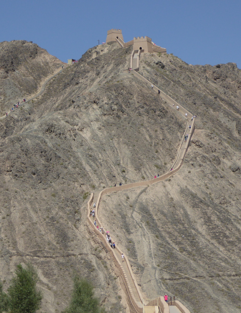
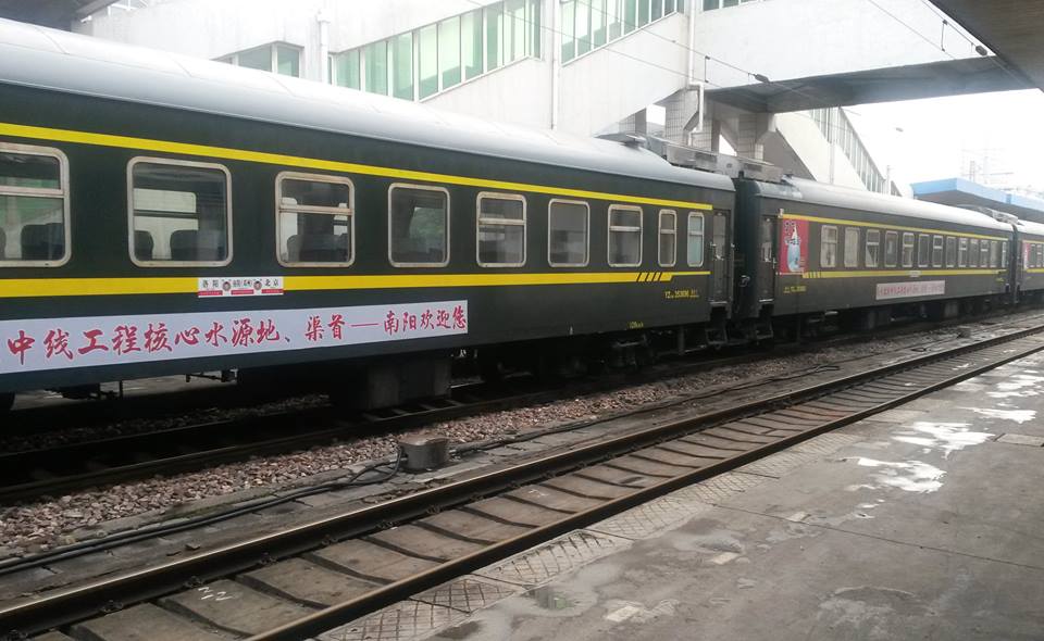
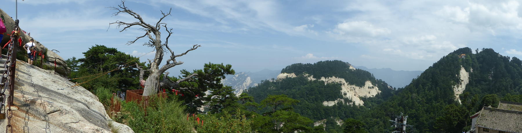
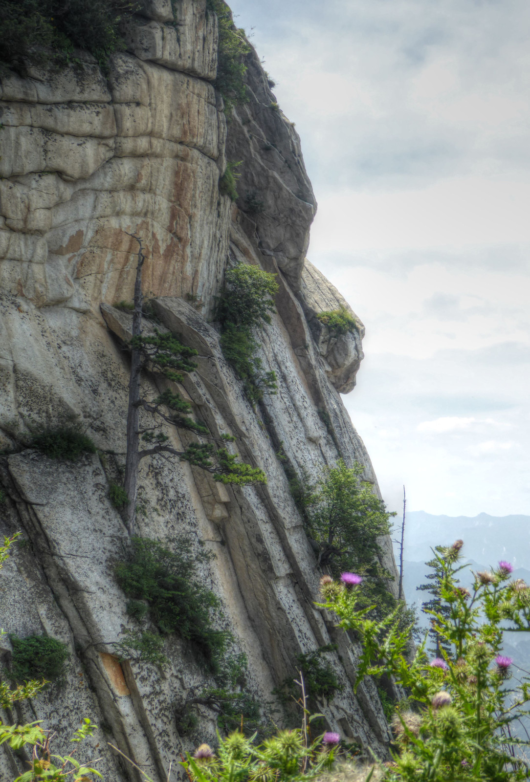
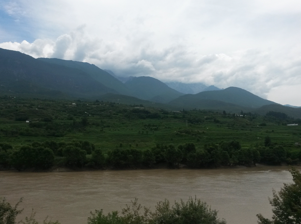
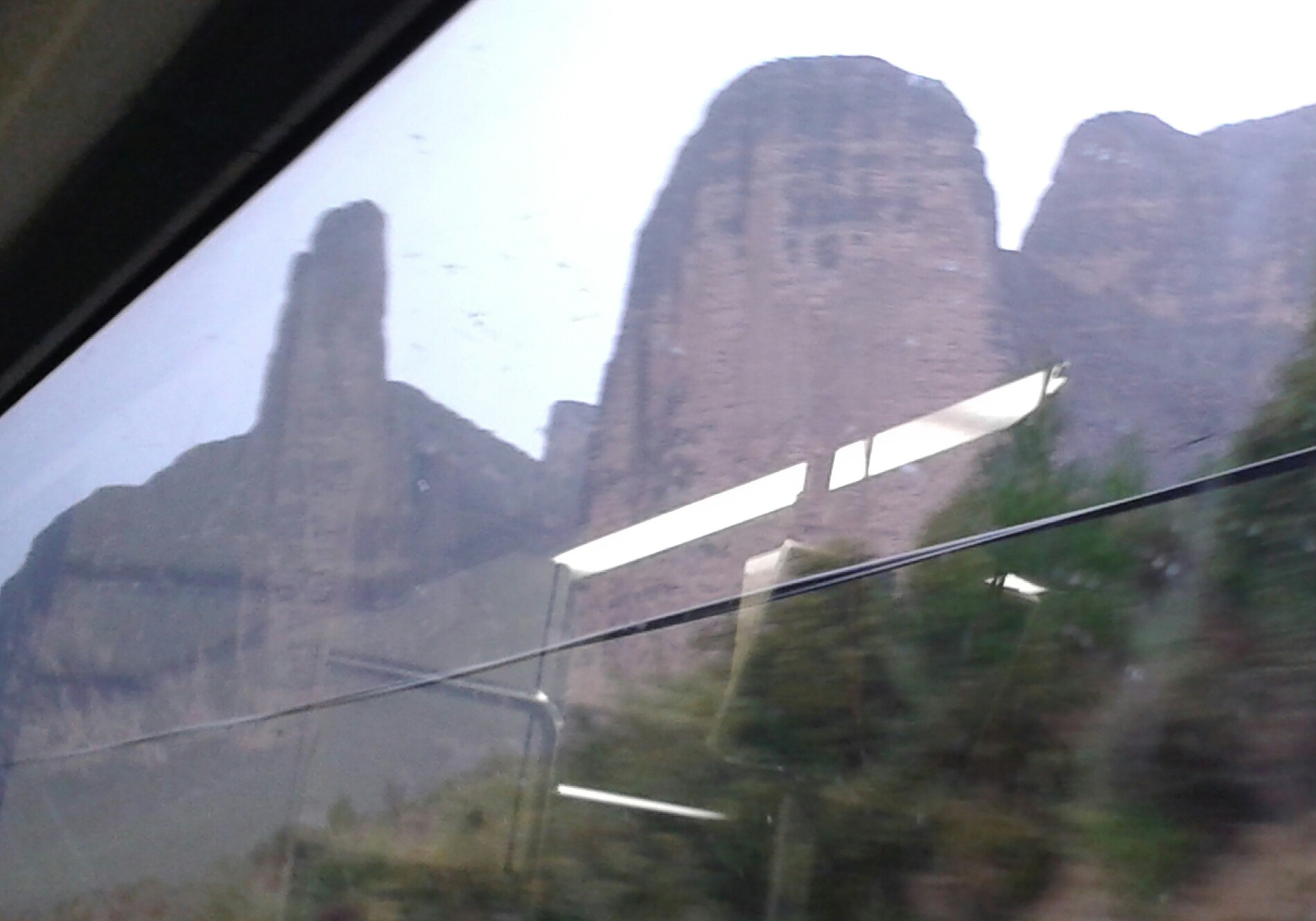
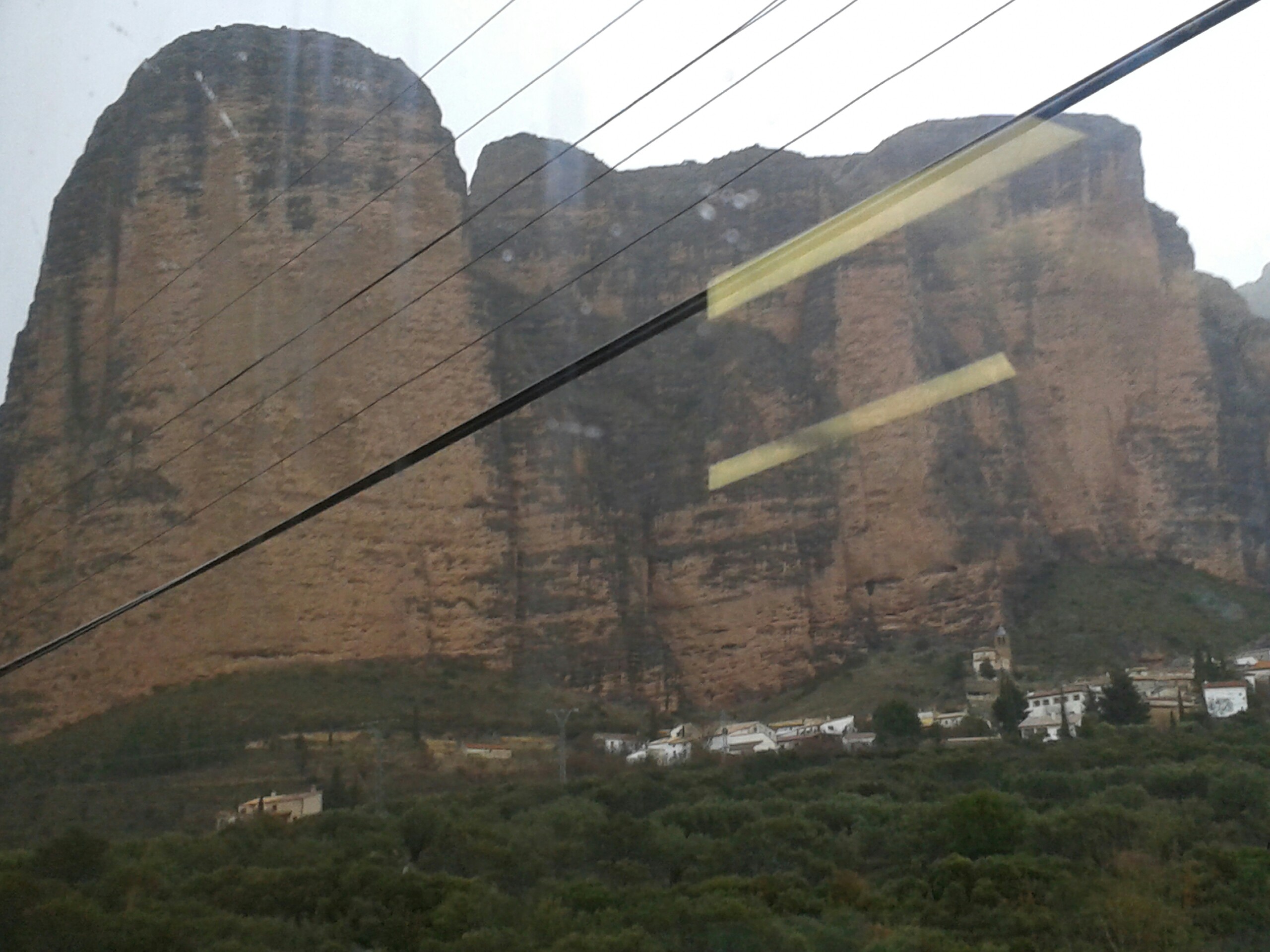
We took a train north and a bit east to Jiayuguan. Centuries ago, this was considered by the Chinese to be the furthest west point of civilization. It was a way-point on the silk road, and is the site of a surviving fortification from the Ming Dynasty (late 14th century). The fortress served as a sort of gateway through this western most extent of China’s “Great Wall.” You can see sections of the wall running off into the distance from the fort. You also have a fantastic view of mountains. There is also a rebuilt section of the wall (the “hanging” great wall), that climbs steeply up a mountain. It includes rebuilt towers.


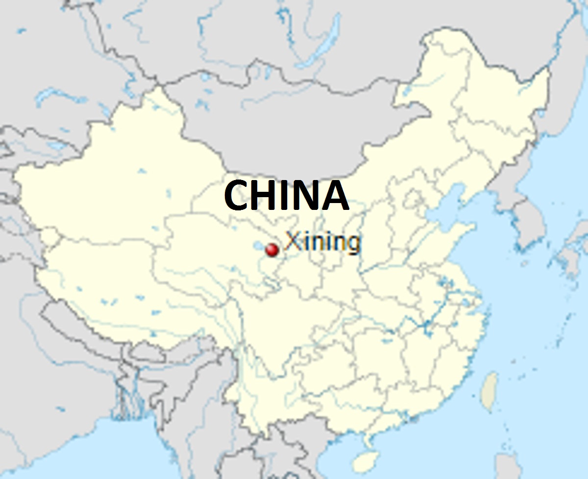
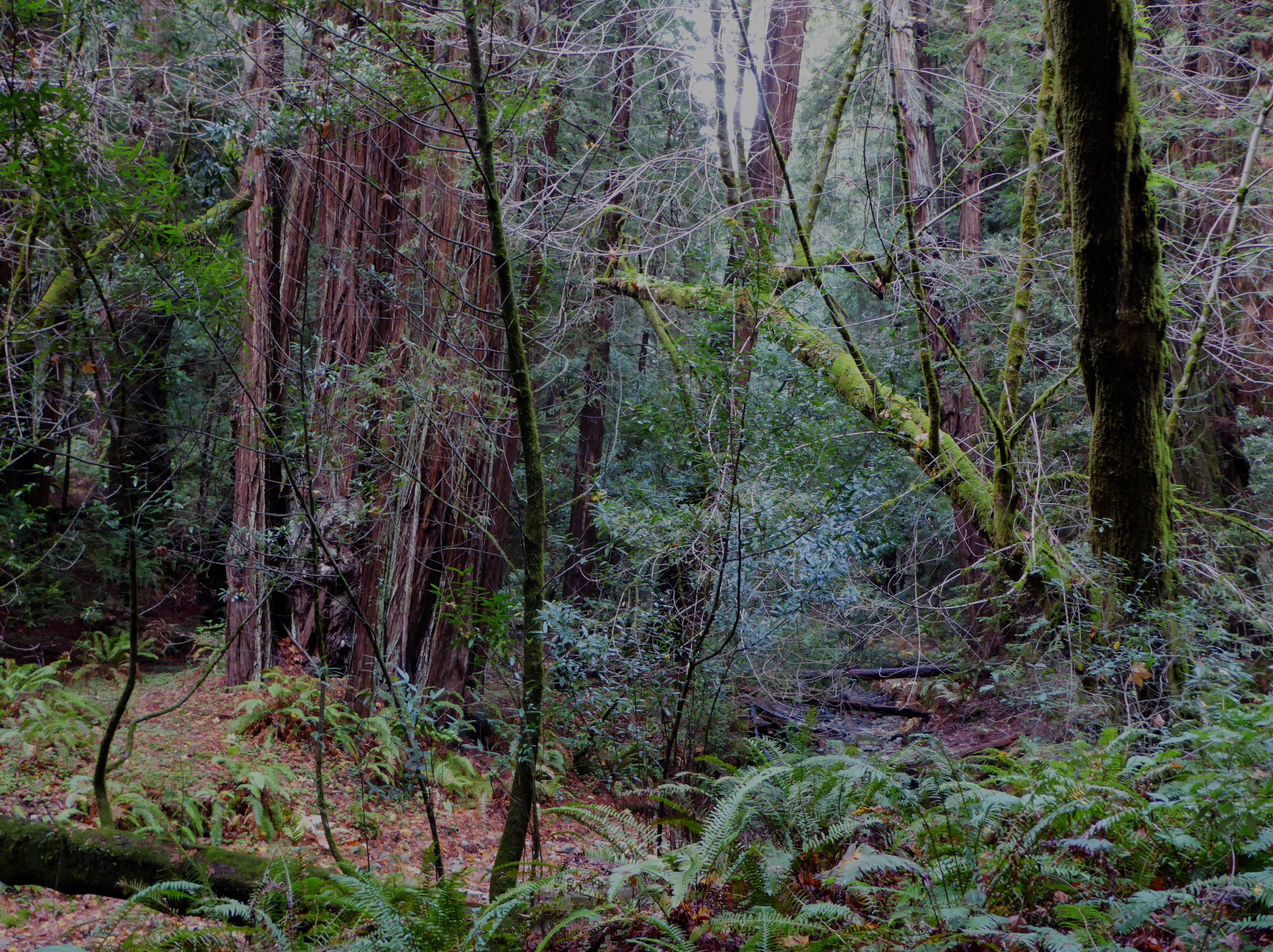
 Xining 西宁
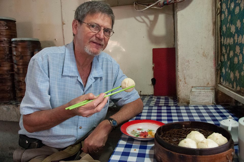
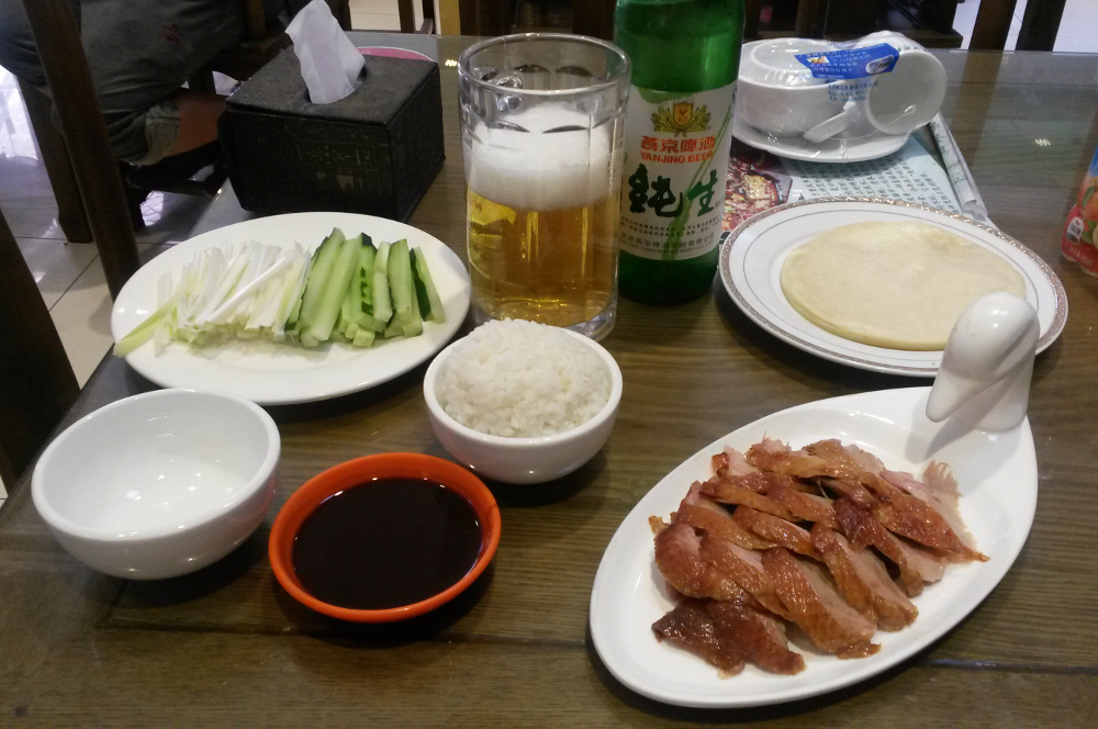
We traveled from Jiayuguan to Xining (in Qinghai province) on a comfortable high speed train. Once again we had a hotel near a thriving night market. Somehow I overlooked the fact that our stay at the hotel included breakfast. So the first morning we wandered off in search of some local food. We ate in a tiny “greasy spoon” and had wonderful food. In the photo I am savoring Baozi, a type of stuffed doughy bun that I had fallen in love with over many breakfasts in Xi’an. The variety in Xining included shaved carot strips inside along with meat.
I wanted to see two places druing our stay in Xining: The Kumbum Monastery and the Great Mosque of Xining
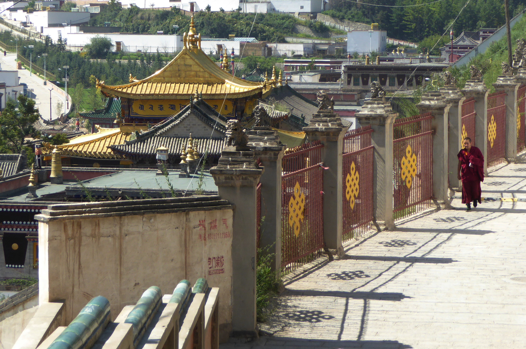
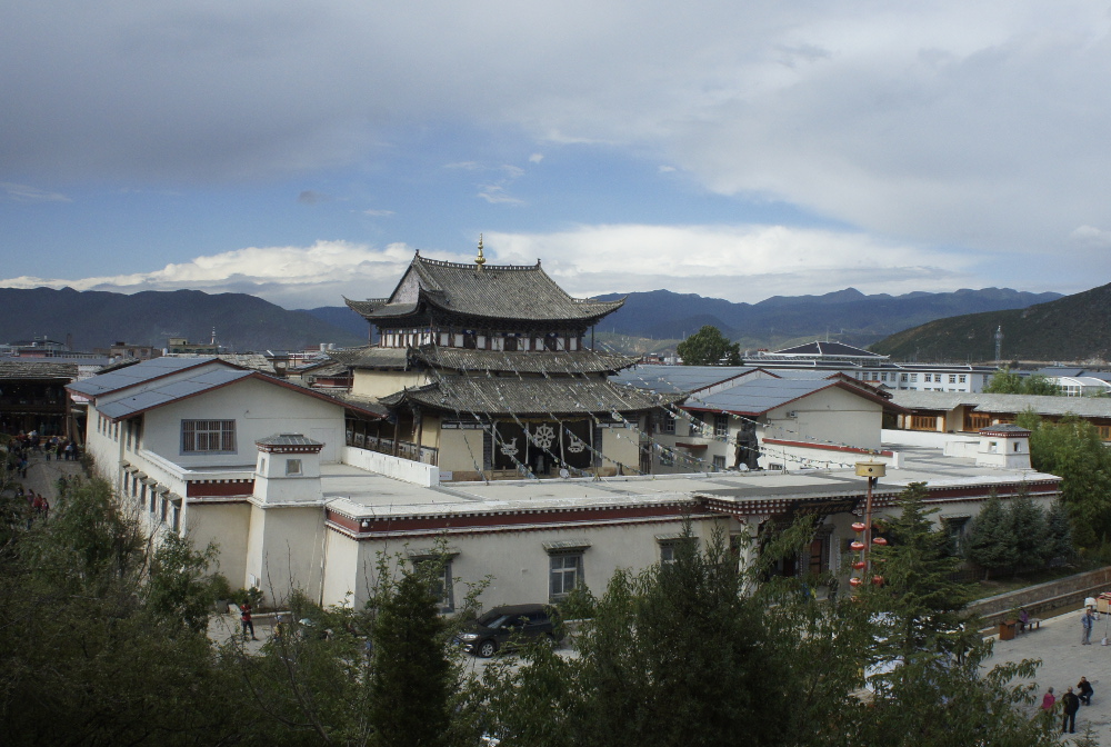
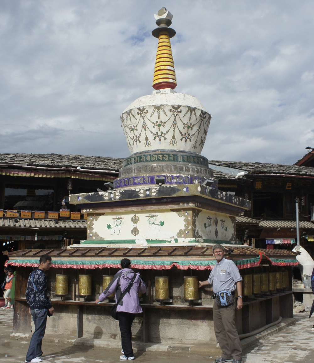
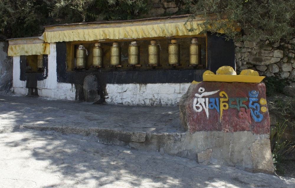
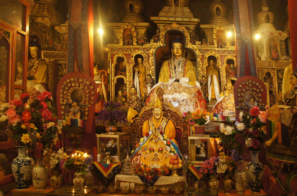
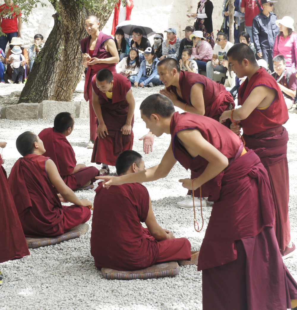
Kumbum Monastery སྐུ་འབུམ་བྱམས་པ་གླིང་
The Kumbum Monastery (Known in Chinese as Ta’er Si 塔尔寺) is one of the most significant religious communities of the “Yellow Hat” (Gelug) sect of Tibetan Buddhism.
Getting to the monastery was a wild adventure of its own! And the return trip was no simpler. But I will save the details for a post that will more specifically focus on our visit to Kumbum Monastery.
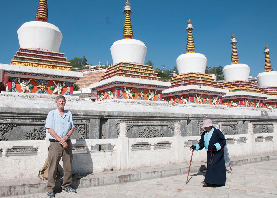
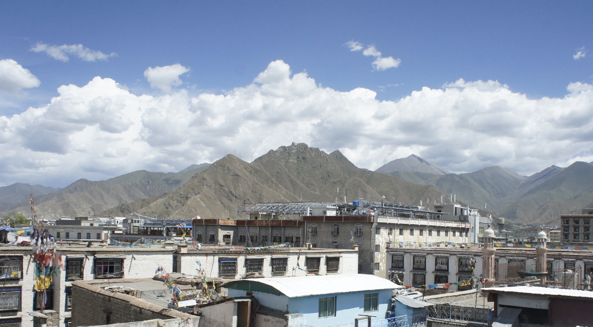
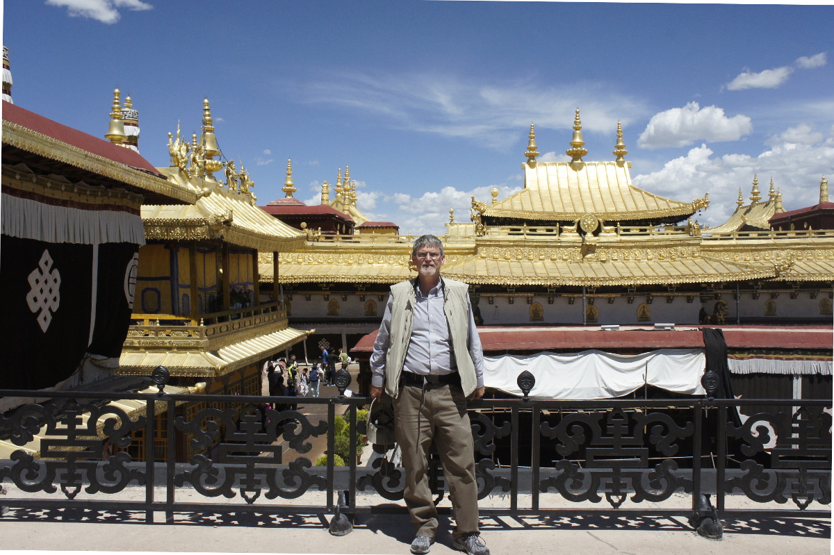
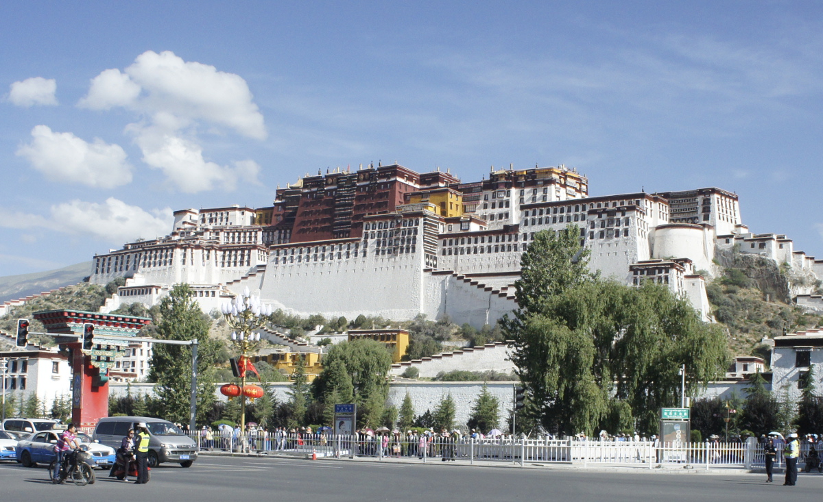
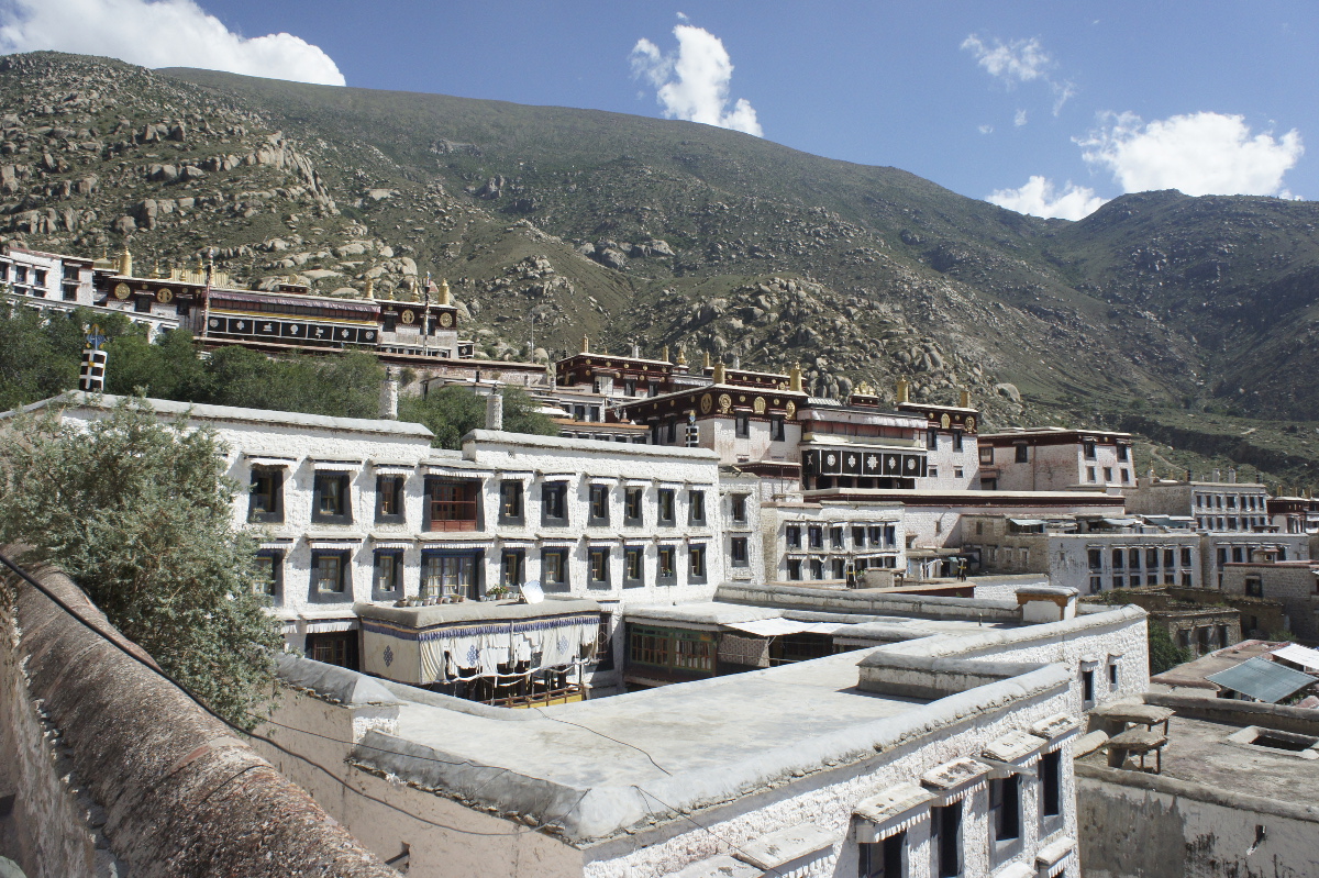
This site reminded us in many ways of our visit to temples and monasteries in Lhasa. The Tibetan architecture, holy images, feeling of spirituality, and also the hoards of visitors!
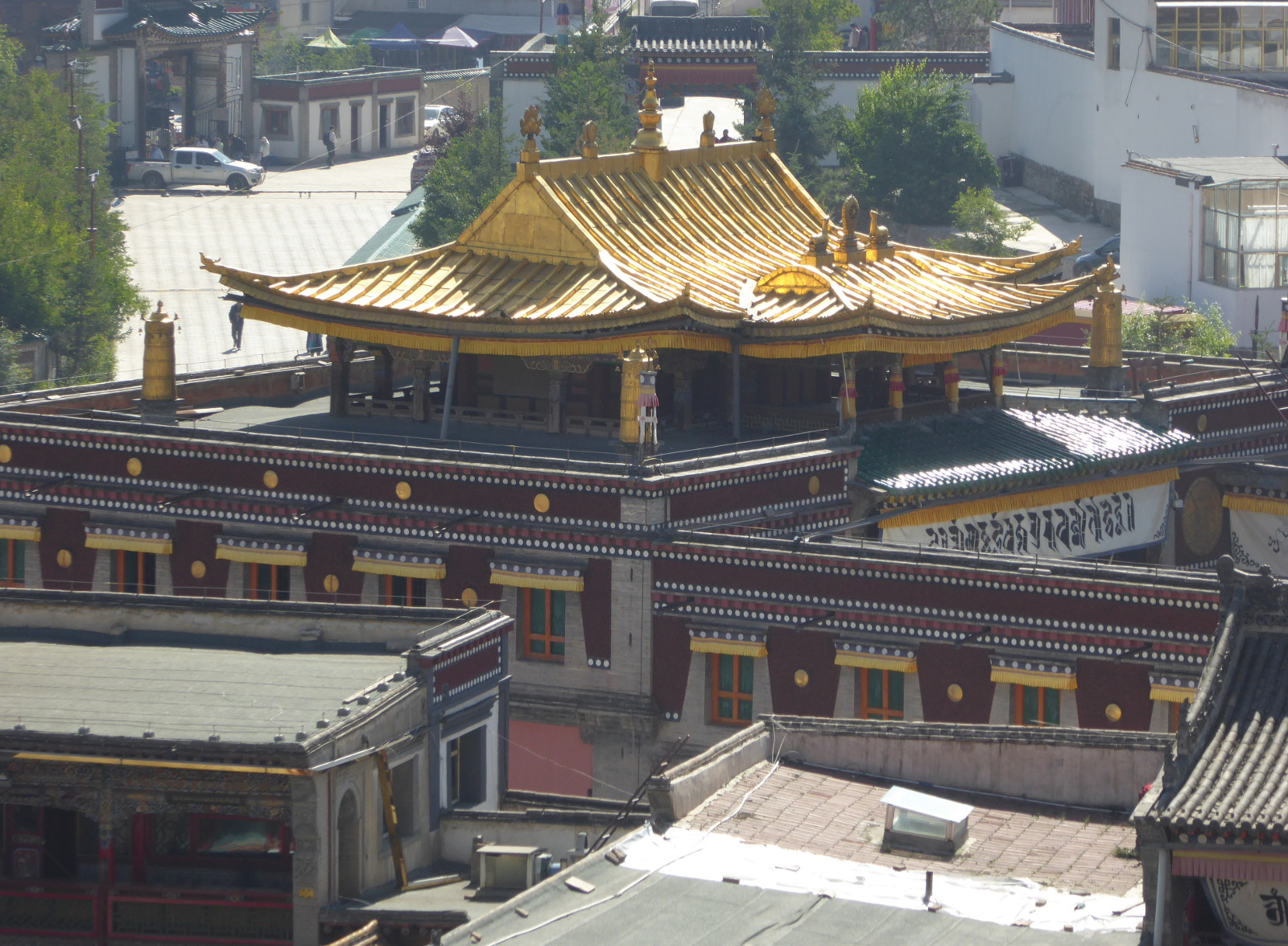
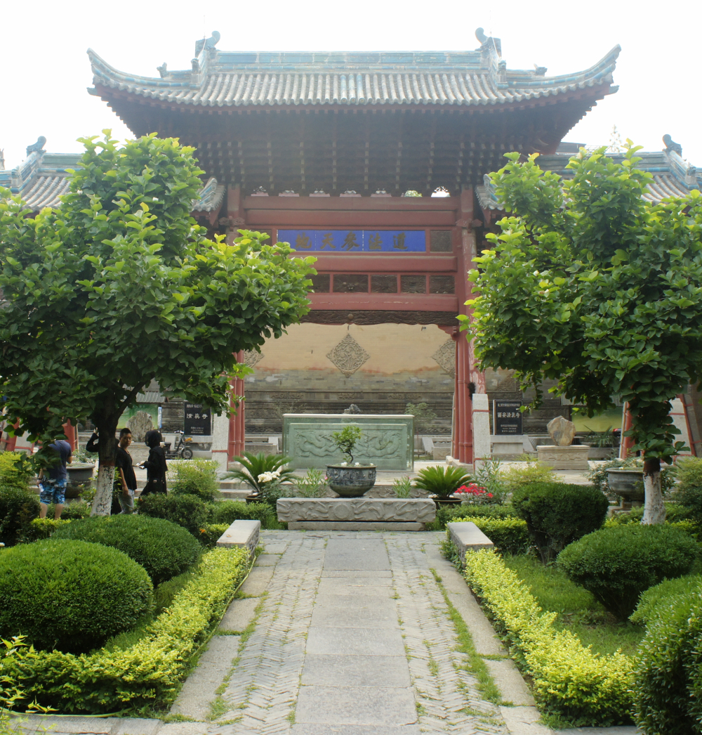
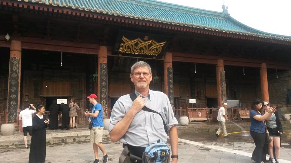
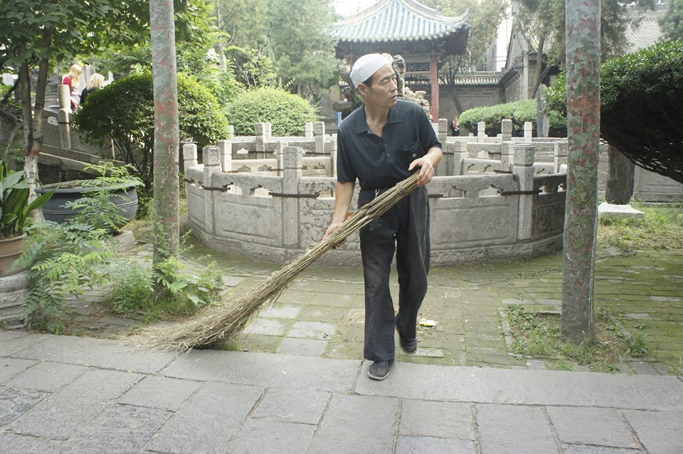
Dongguan Mosque 东关清真寺

The Dongguan mosque (sometimes called the Great Mosque of Xining) was originally built toward the end of the 14th century. It is one of the most important mosques in this part of China.
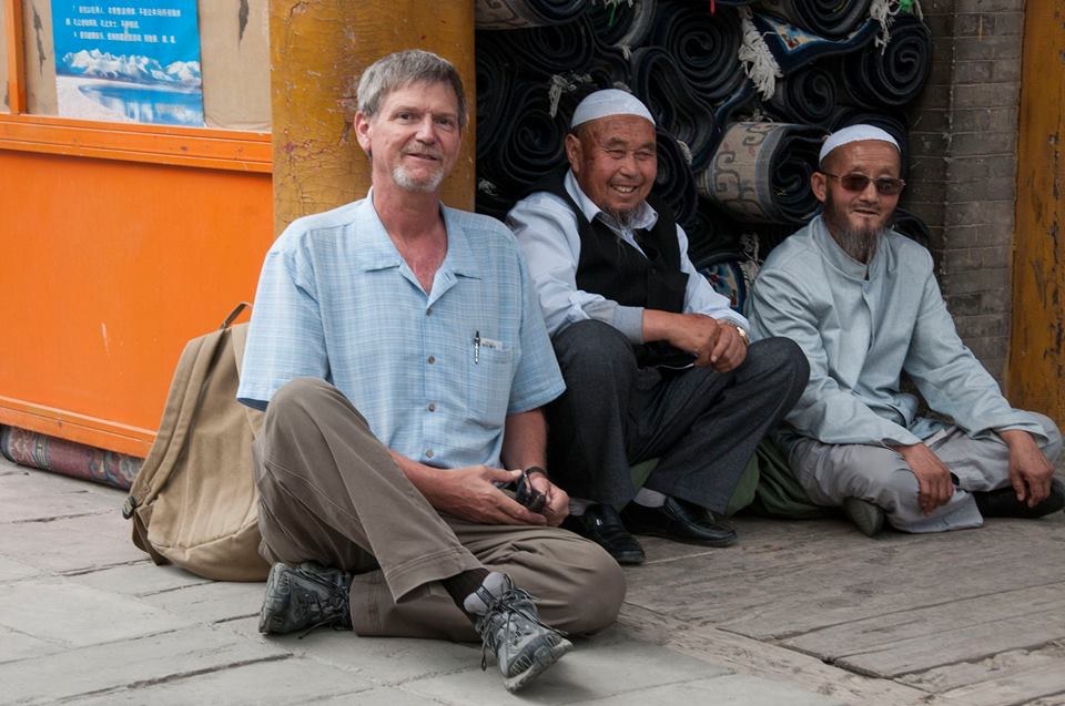
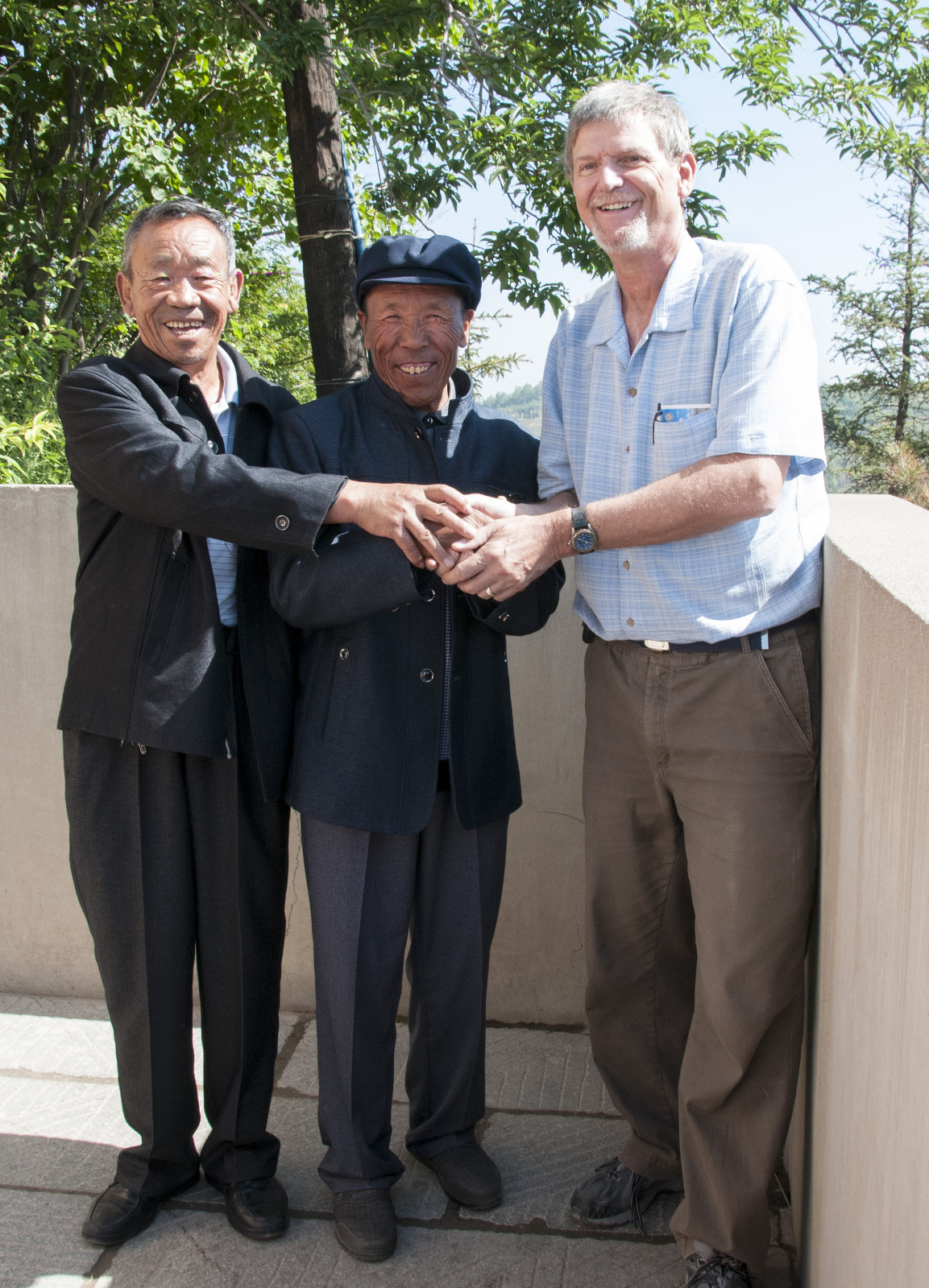
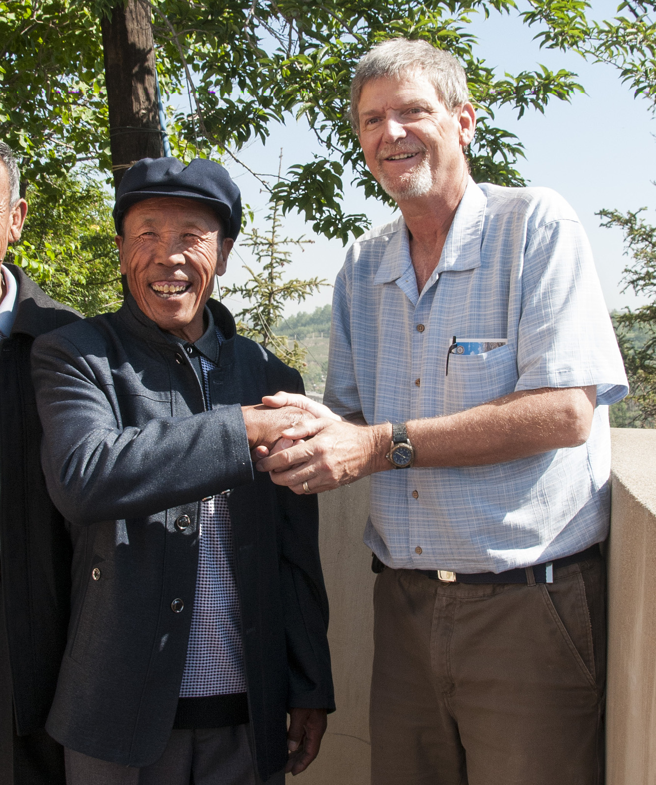
I made a bit of small talk with these two men within the mosque compound. They were friendly, and agreed to have their photo taken.
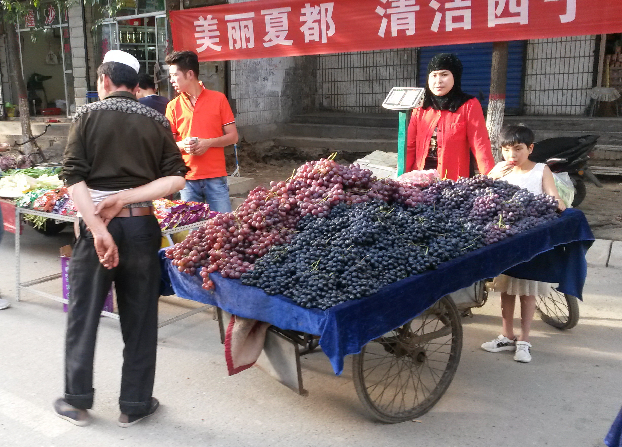
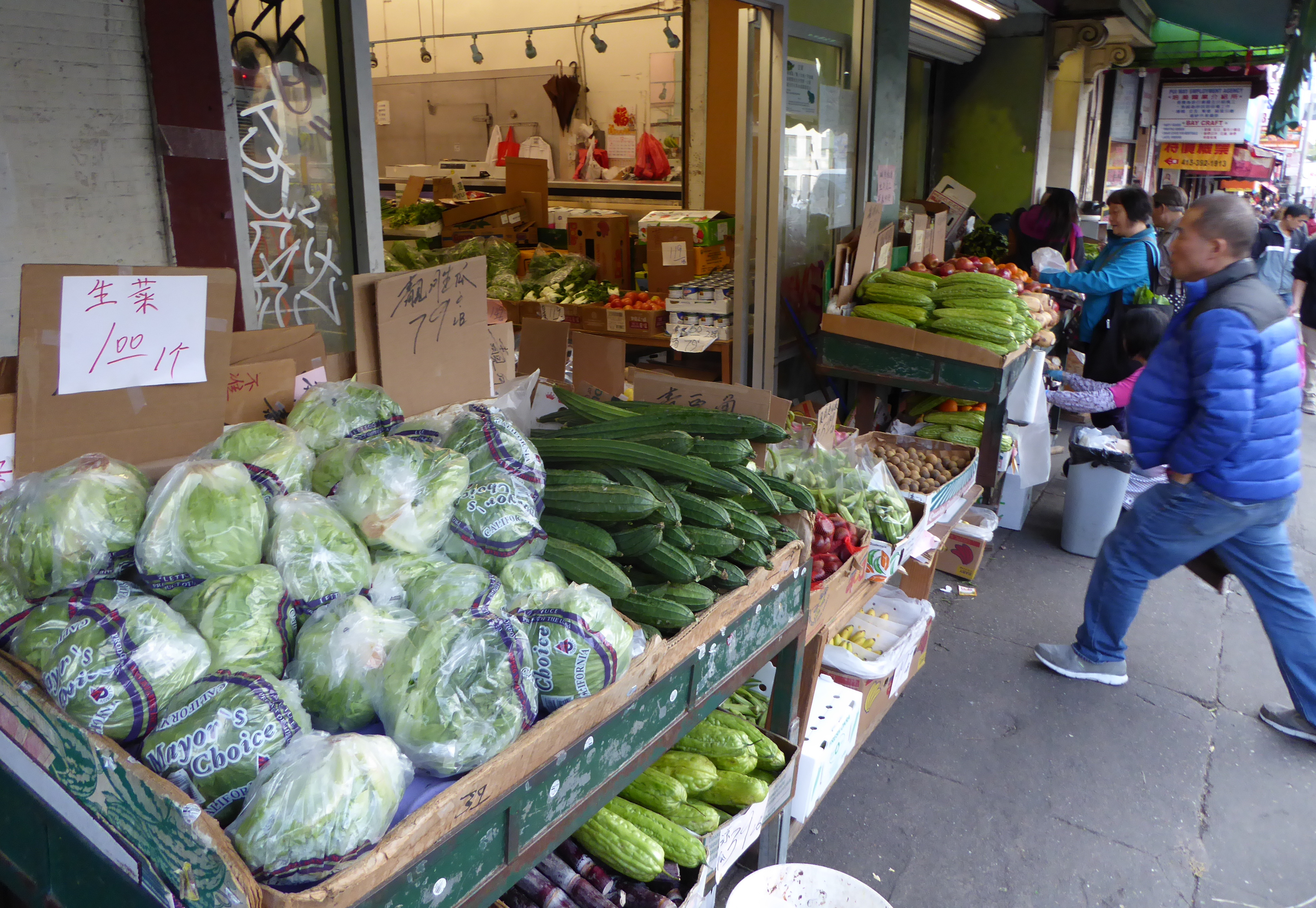
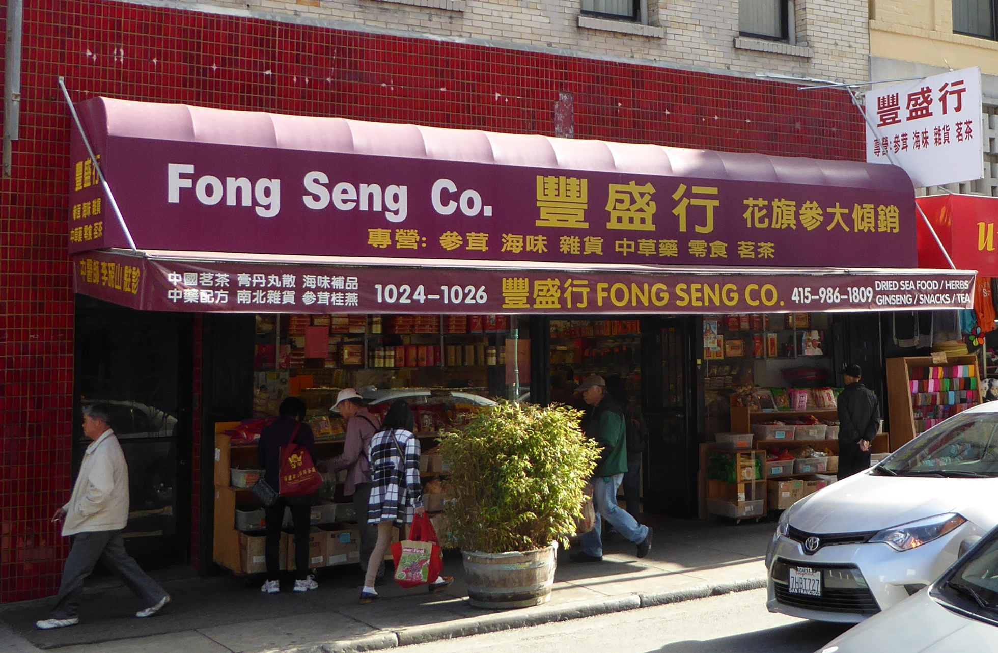
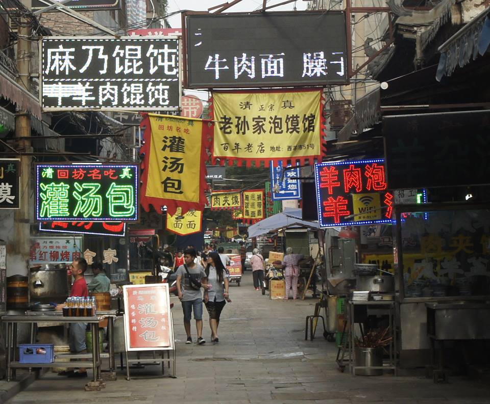
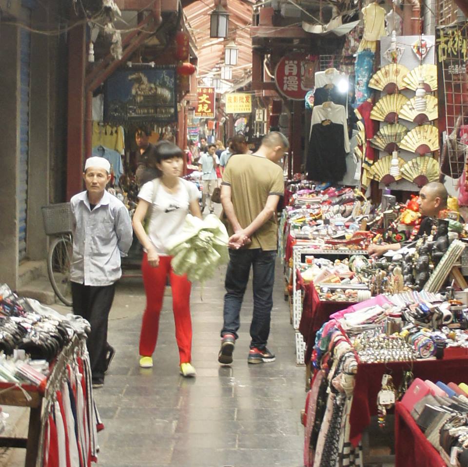
Not far from the mosque was a market street with a wide variety of foods and other items.
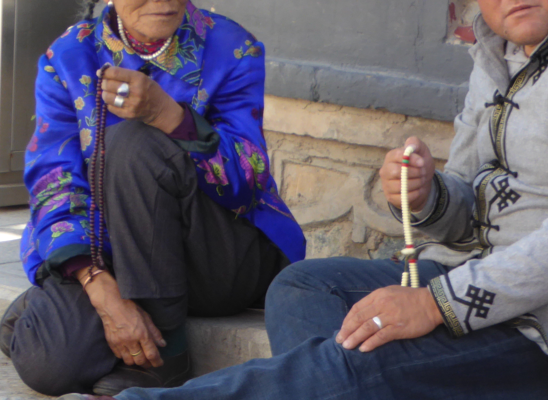
Xining- Encounters with friendly people
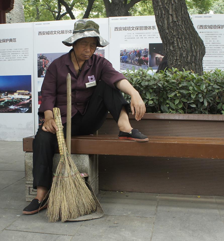
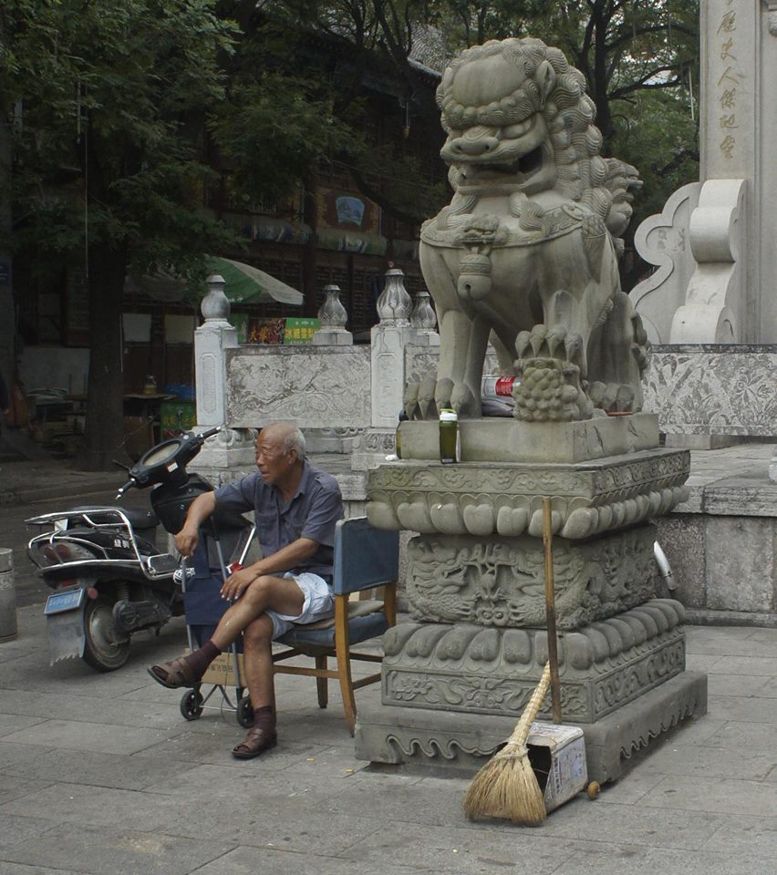
So very many people in China are friendly. Strangers you encounter often greet you and are eager to help if you need any. Also, in many areas westerners are a bit of an oddity, and people often want to have their photo taken with me.
At one point during our visit to the Kumbum monastery, we encountered these two men. They asked how old I was. We exchanged a few words and many smiles. They were with some friends and wanted their photo taken with me. (So Marlene took a few photos as well!)
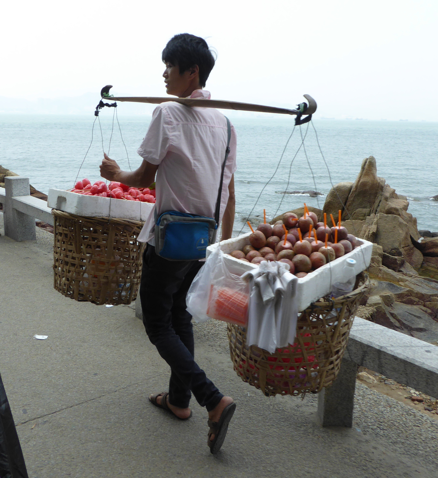
Onward to Xiamen city 厦门市
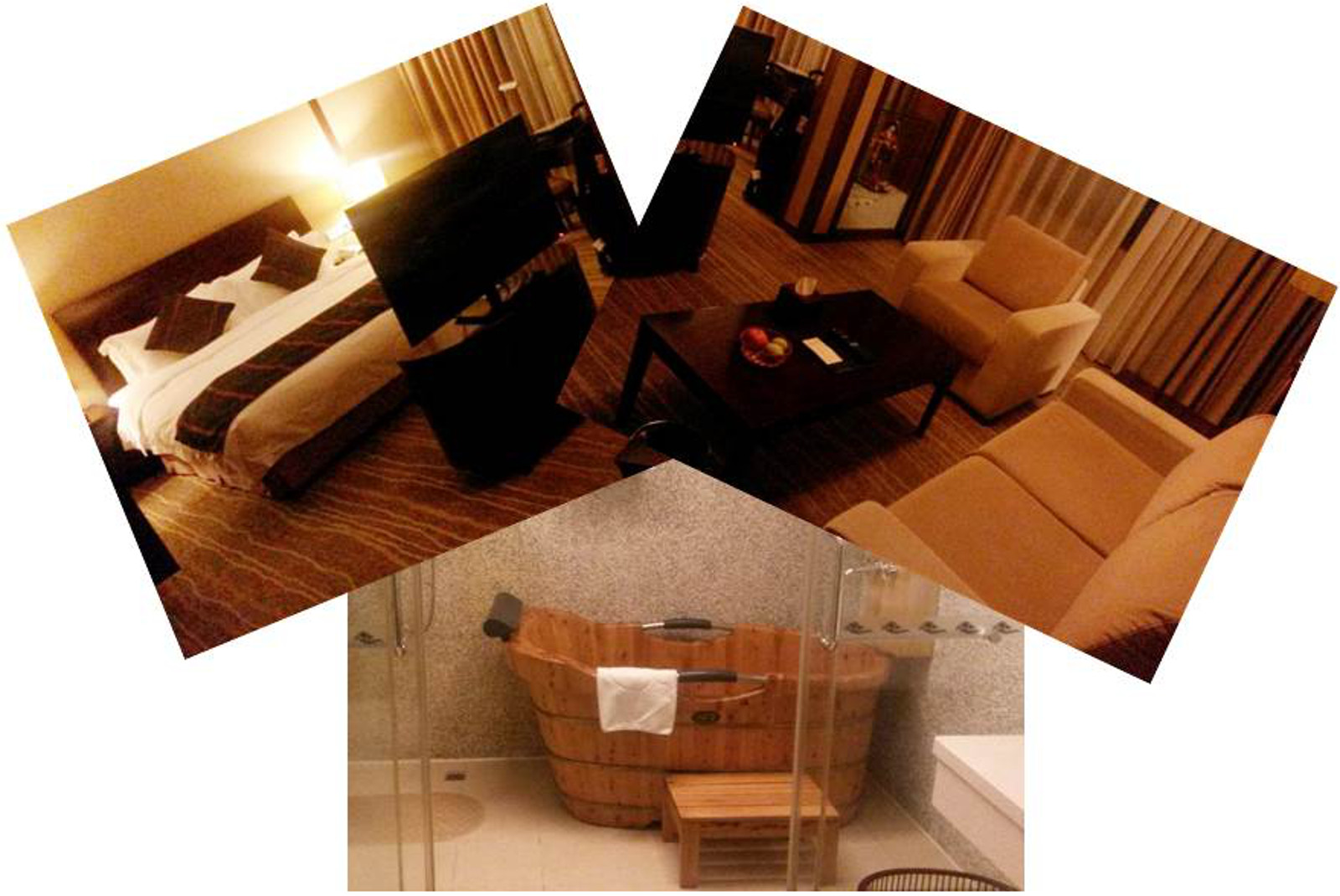
Hotel-wise, I hit the jackpot in Xiamen. I had a reservation and they upgraded my room at no cost to a luxurious suite which, besides having a shower, had a fabulous free standing wooden tub. And yes… I did enjoy a wonderful soak in that tub!
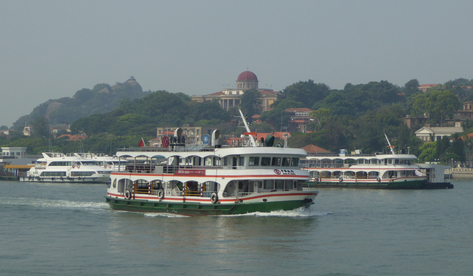
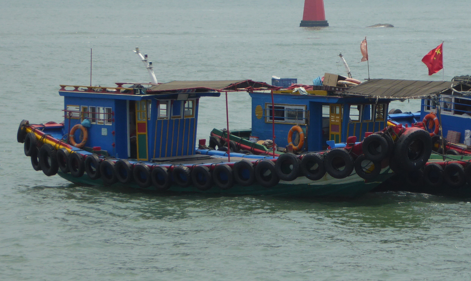
Gulangyu Island 鼓浪屿
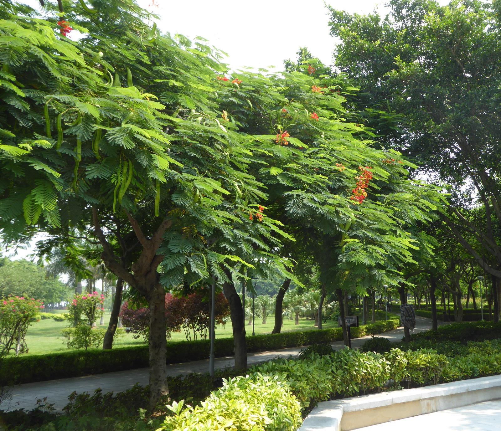
The city of Xiamen consists of an island connected to the mainland by a variety of bridges. Quite near Xiamen is a smaller island called Gulangyu. It is a popular tourist destination among the Chinese, and is an oasis of greenery and varied architectural styles. Based on the advice of a student from one of my classes, I took a morning ferry to the island. I got a ticket for a hop-on, hop-off transport and worked my way around the island.
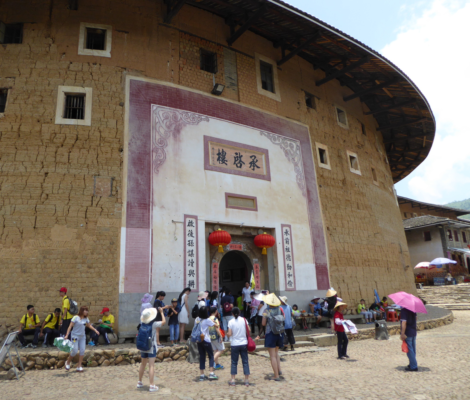
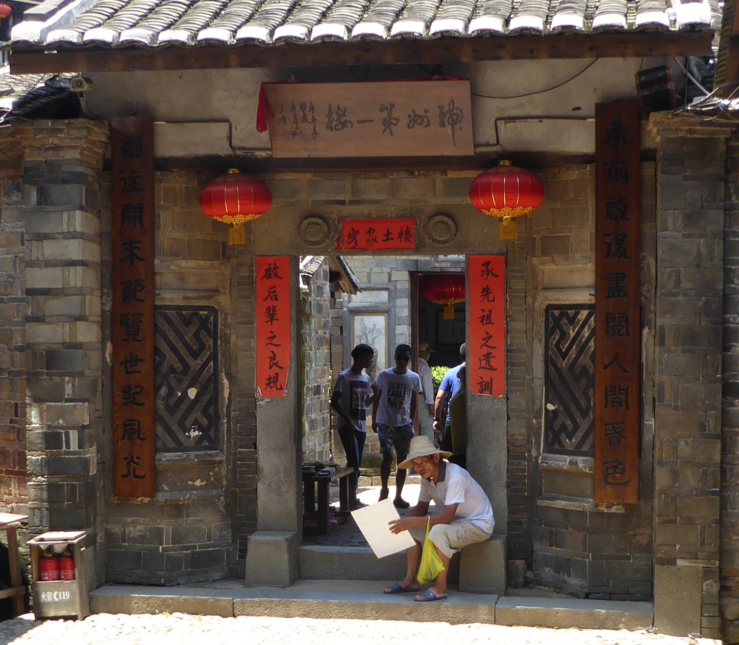
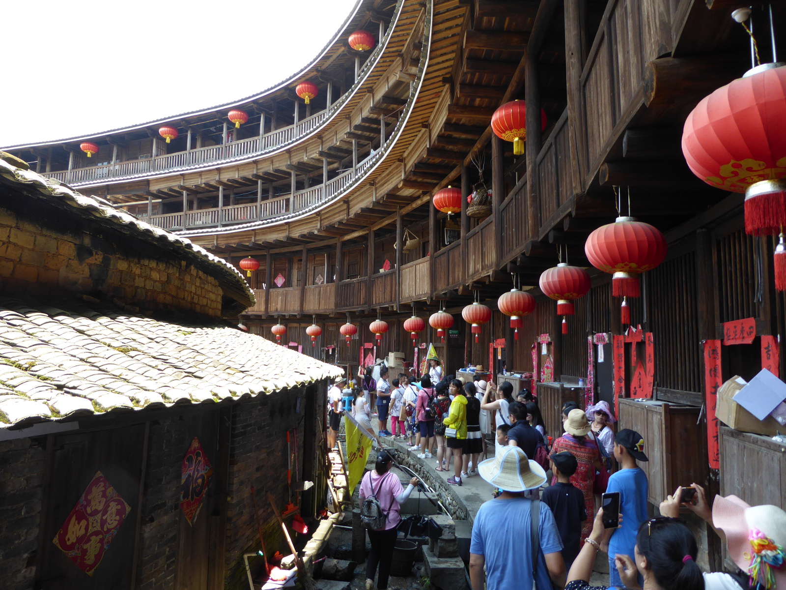
Tulou 土楼 (earthen buildings) of Fujian
Large fortress-like buildings that housed entire clans are a typical architectural style in Fujian province, with roots dating to the 17th century. The majority are round, multi-storied structures, but there are also some rectangular examples. I arranged to participate in a bus tour from Xiamen to see these. Truly fascinating.
(Jesen, one of my students from 2015 was born in this tulou. I was interested in seeing these because of his suggestion I pay a visit to Fujian.)
Xiamen to Nanjing by Train
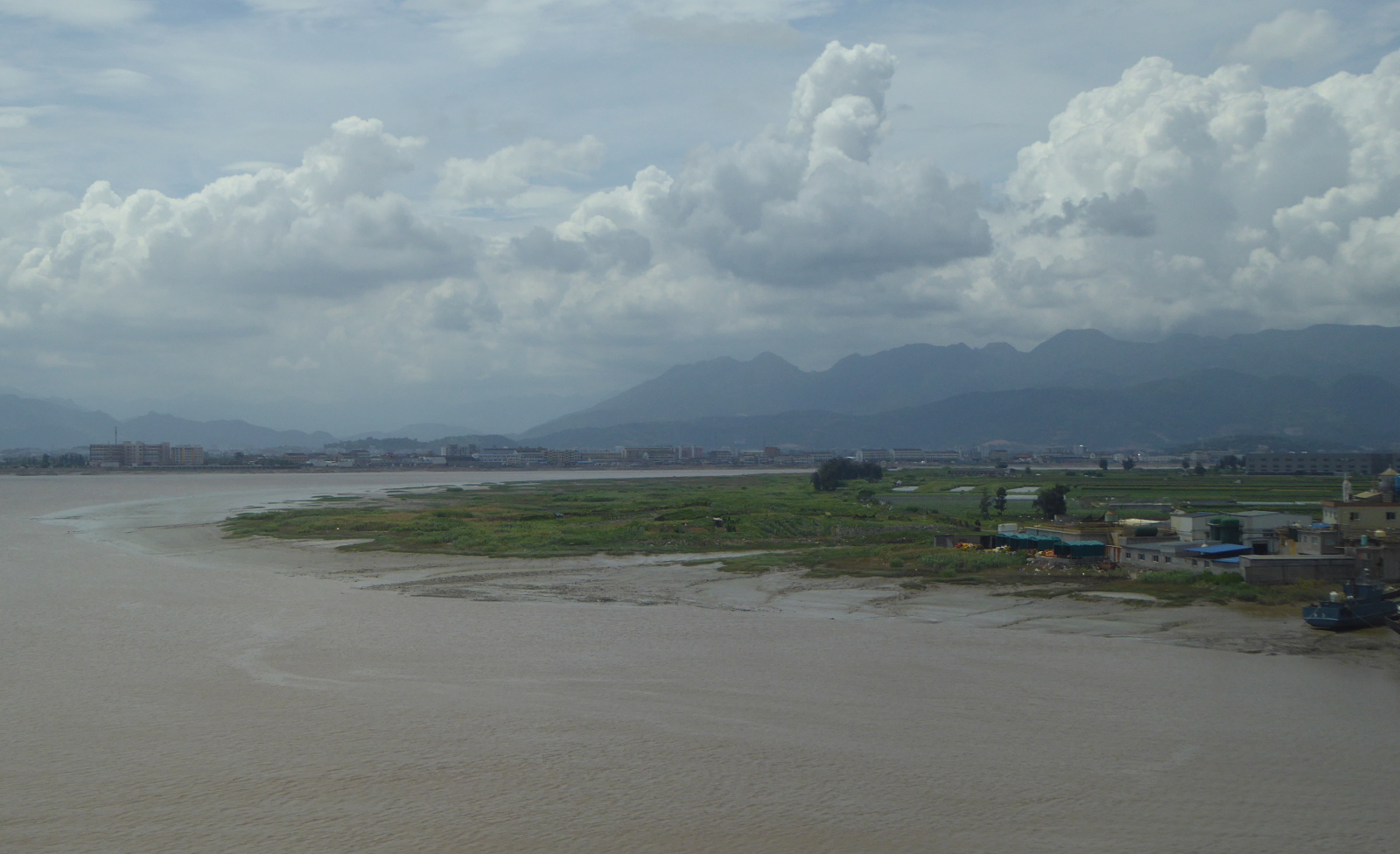
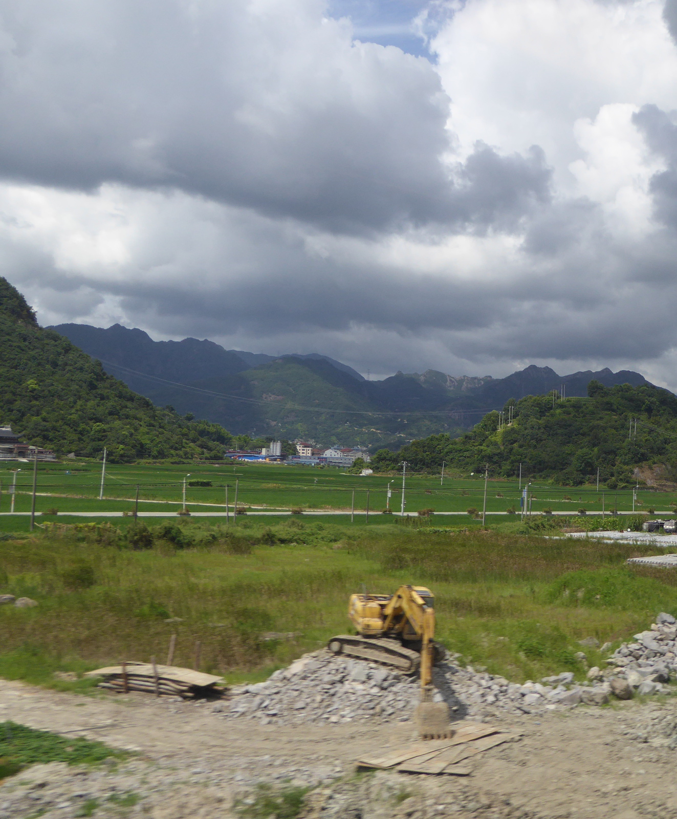
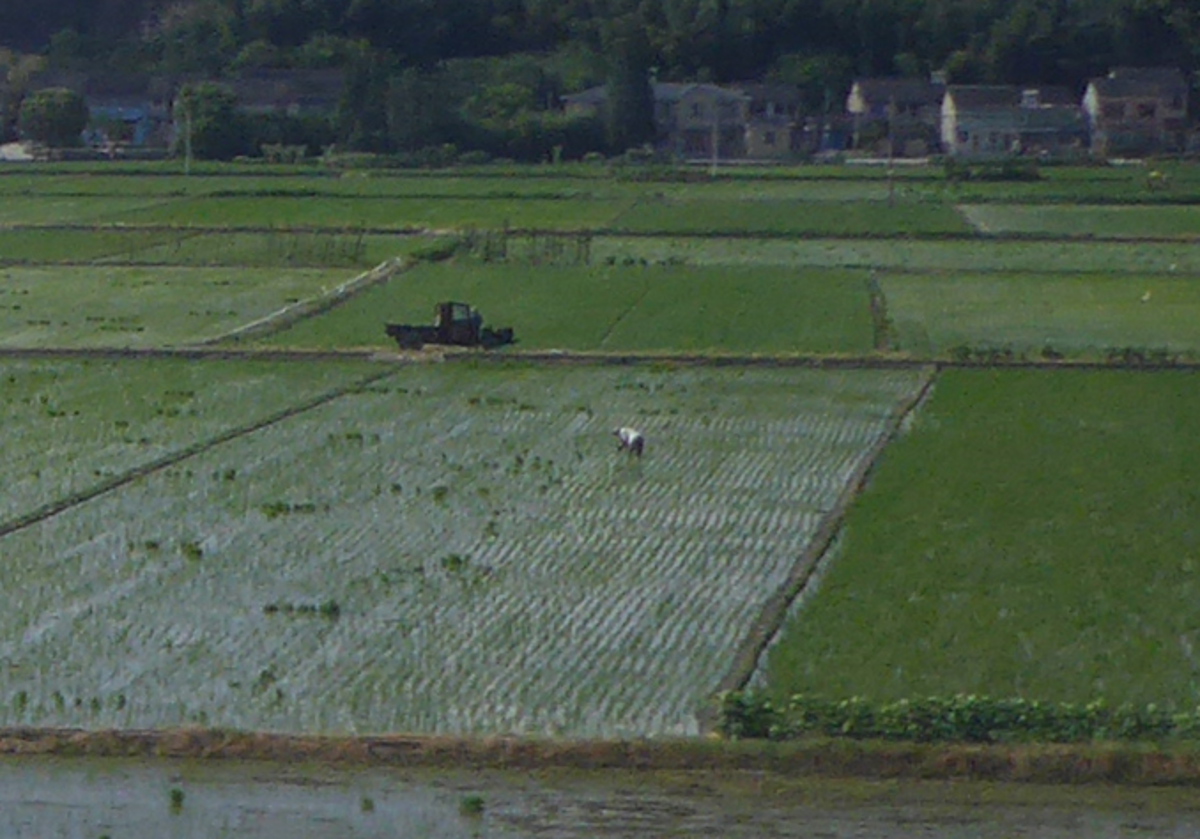
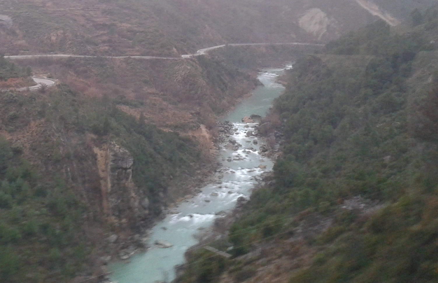
Although sometimes I cannot avoid traveling by air, my favorite transport is the train. From Xiamen I took a high speed train to Nanjing. The scenery was beautiful, and we passed mountains, terraced hills, the broad Qiantang river, and even the grand canal of China.
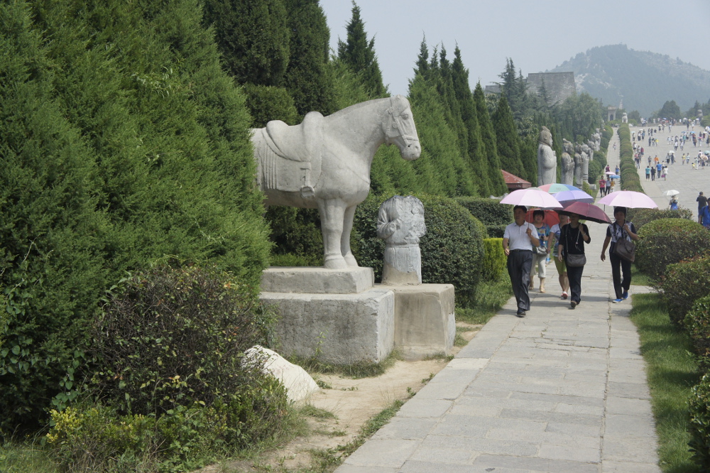
Nanjing 南京市
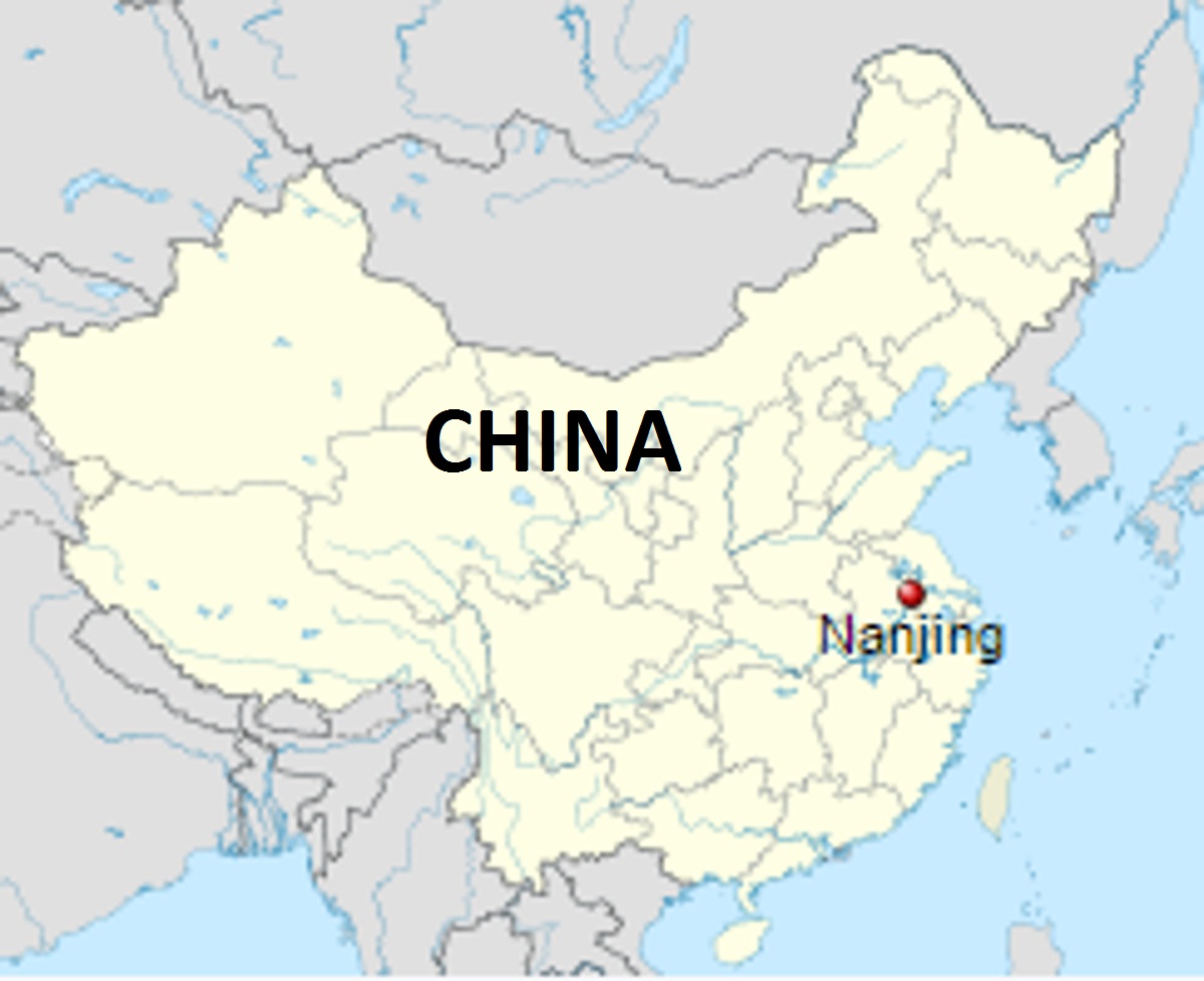
Nanjing (meaning southern capital) lives up to its current name, having been (under a variety of names) the seat of power for a variety of dynasties, and also the capital of the Chinese republic.
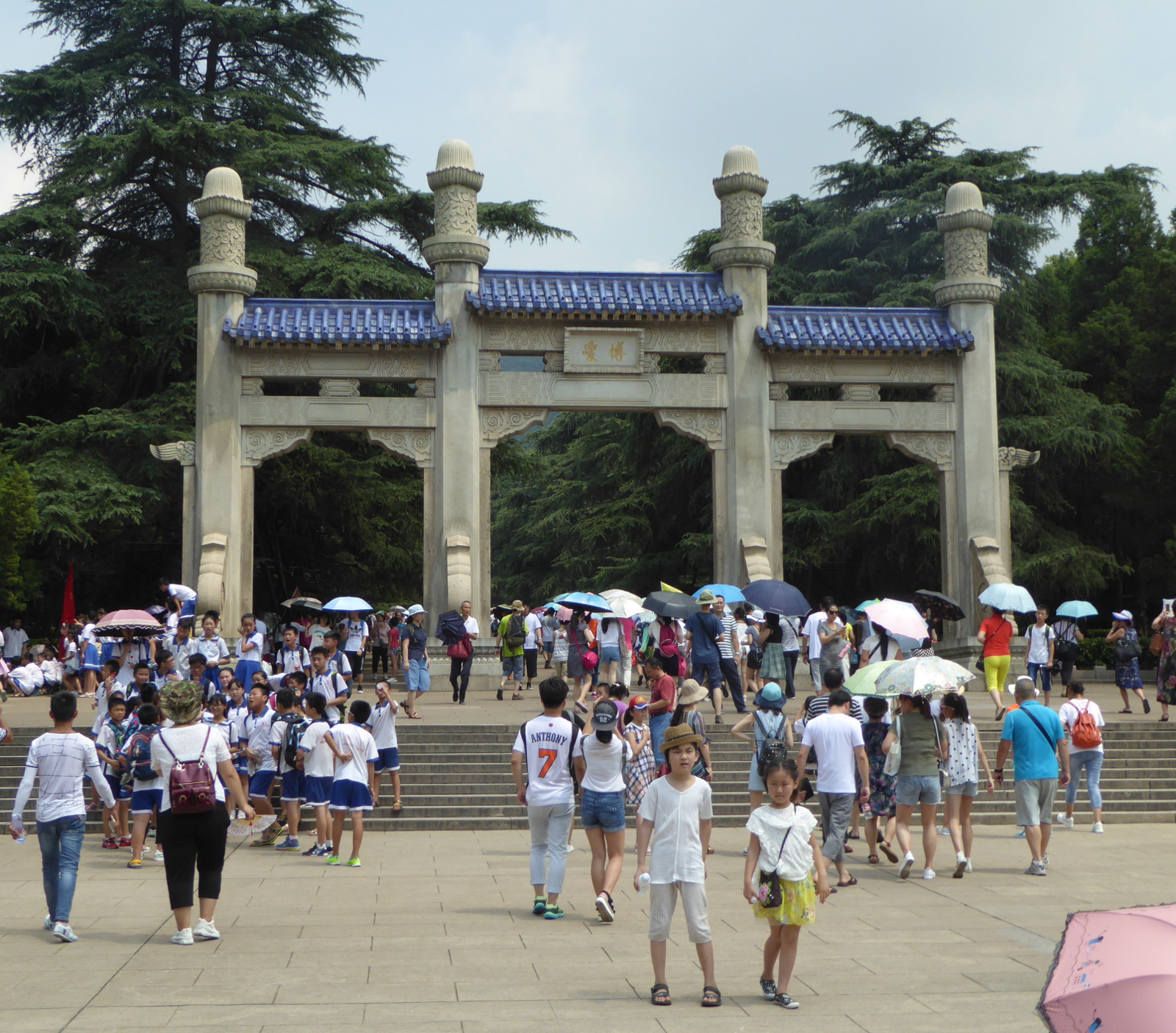
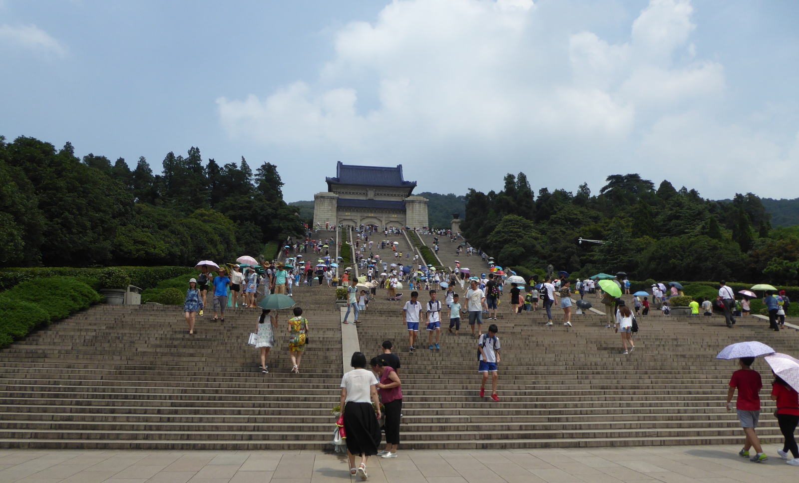
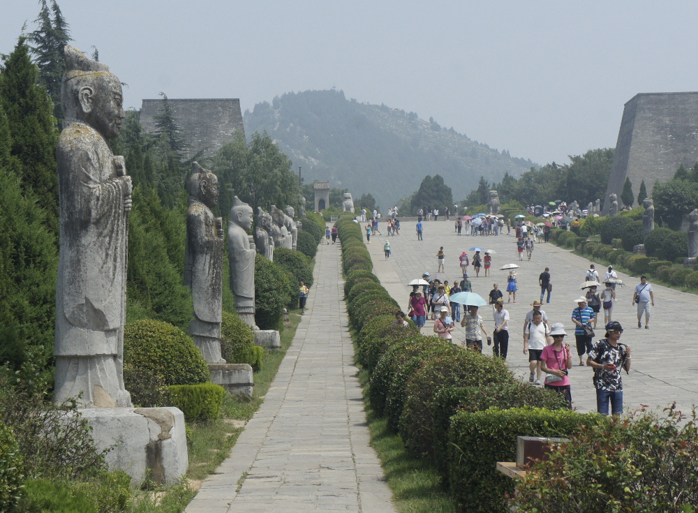
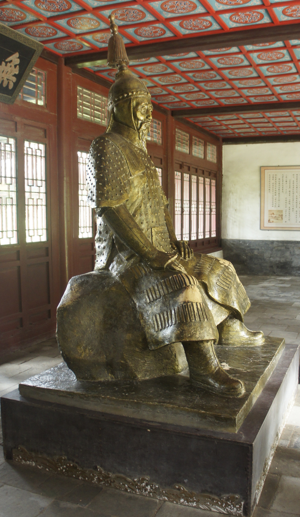
SunZhongShan – The Sun Yat-Sen mausoleum
Sun Yat-Sen (Sun Zhongshan 孫中山) was a Chinese revolutionary who helped lead the struggle that overthrew the Chinese imperial government at the beginning of the 20th century. He can be thought of as the George Washington of the nation. He is buried in an elaborate complex on a hill in Nanjing.
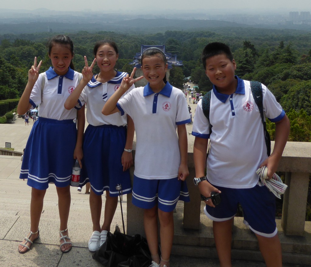
A group of school children attached themselves to me and saw a chance to practice their English. They wanted endless photos with me, so I thought it appropriate to in turn take a photo of a few of them.
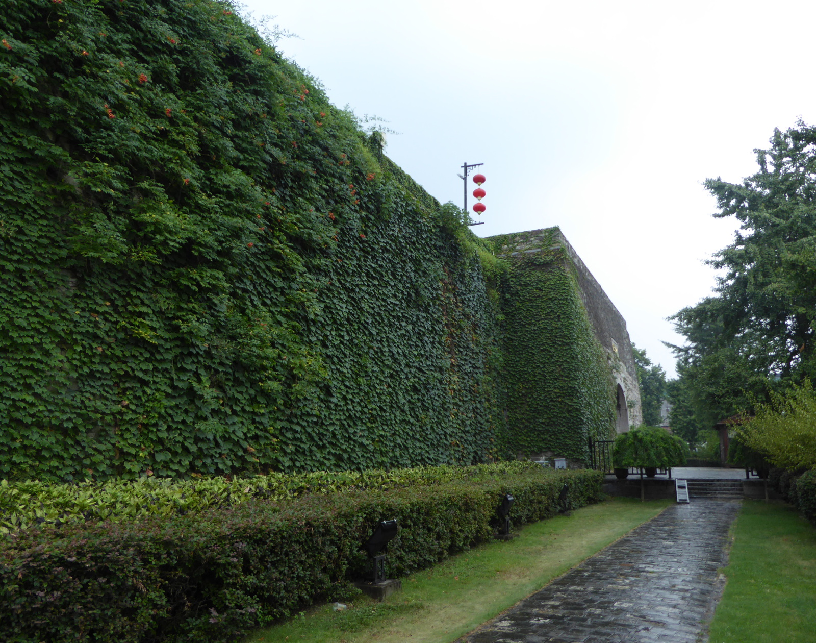
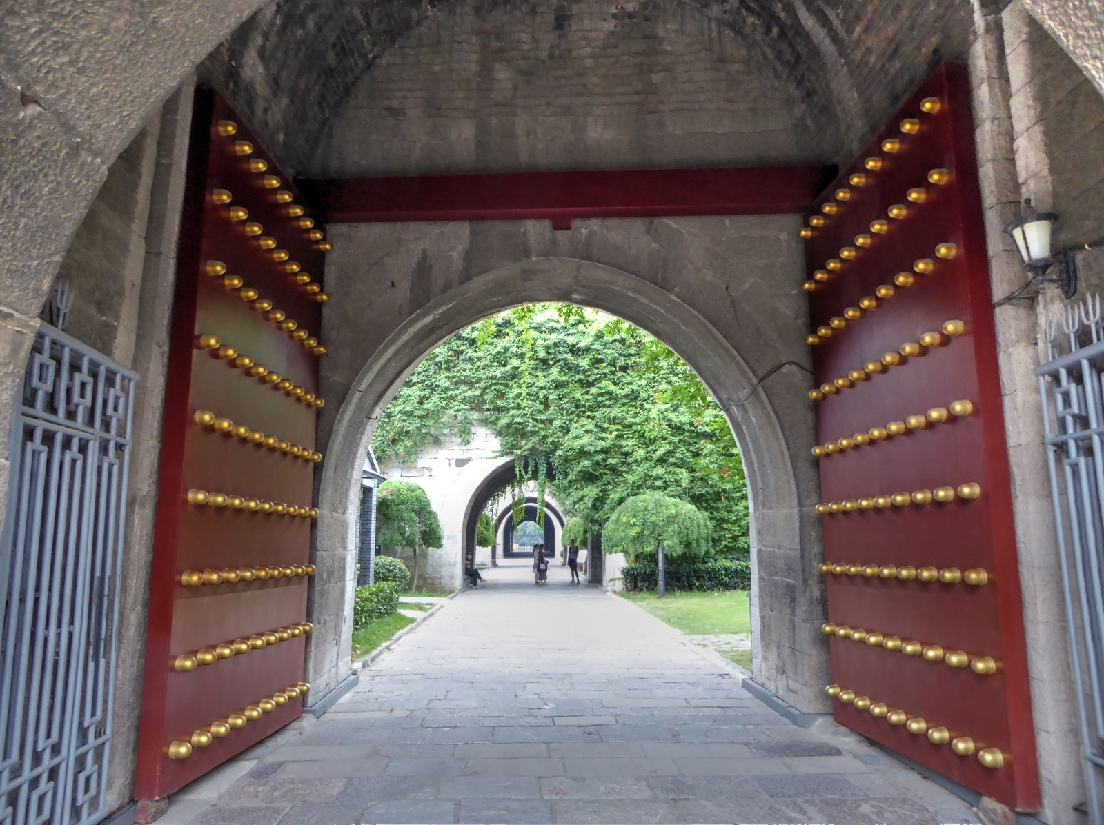
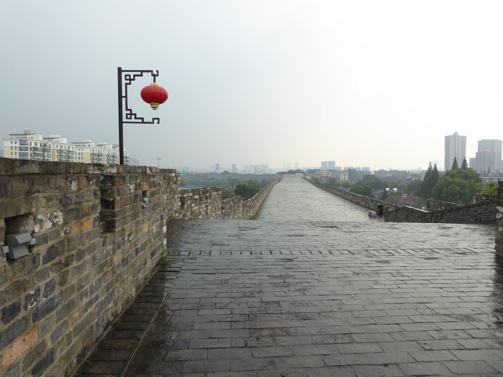
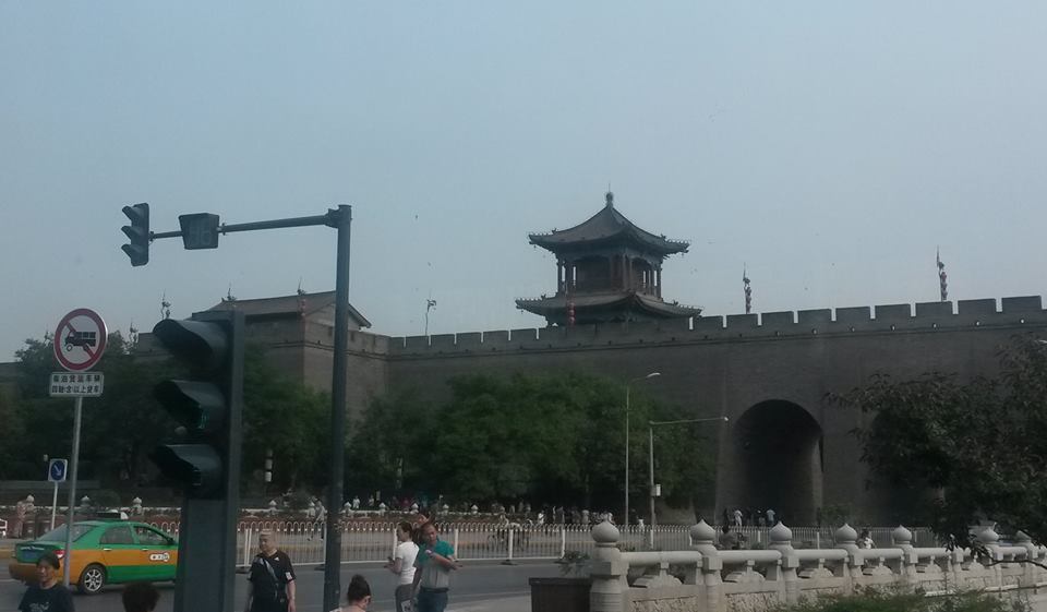
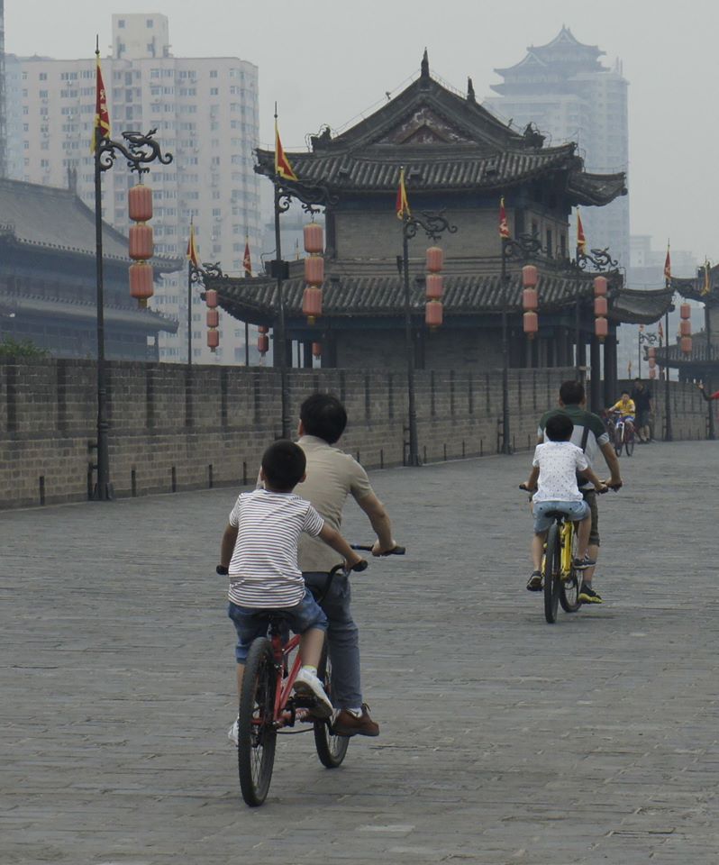
 City Wall of Nanjing 南京城墙

Nanjing’s city wall, completed in 1386 under the Ming Dynasty, is a high defensive structure about 22 miles long. I visited it at the famous Zhonghua Gate
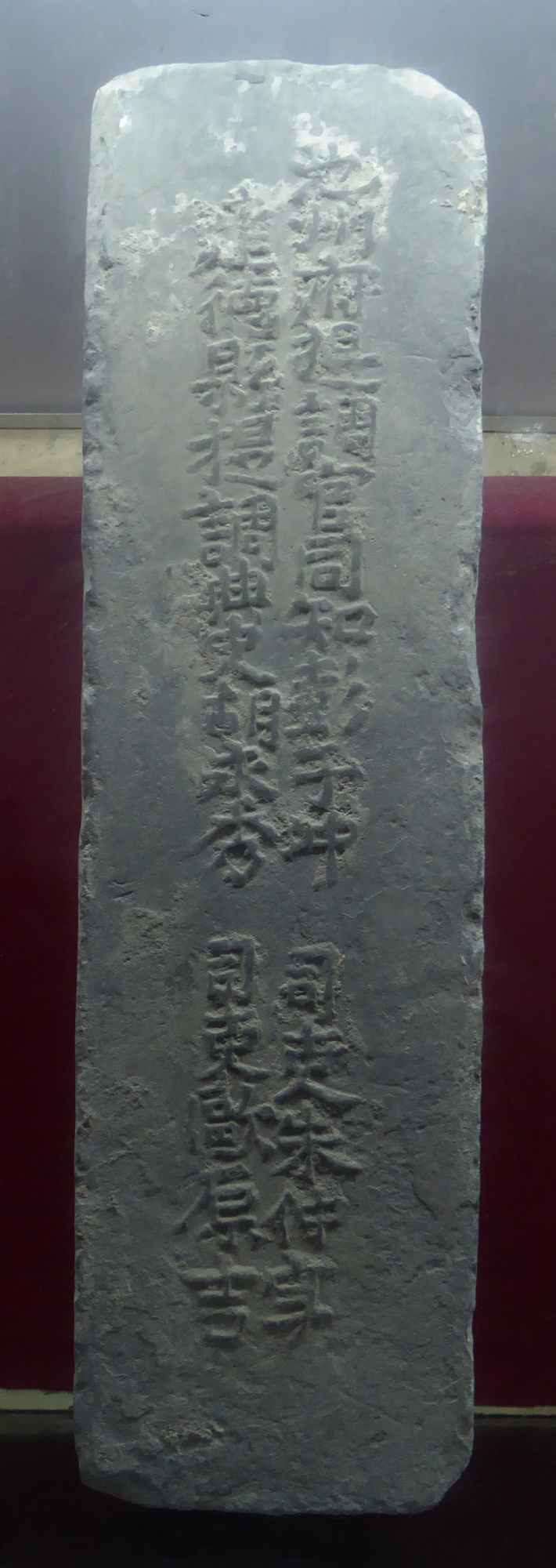
An interesting aspect of the wall’s construction was that the bricks were each marked with information about the supplier etc as a form of quality control / accountability.
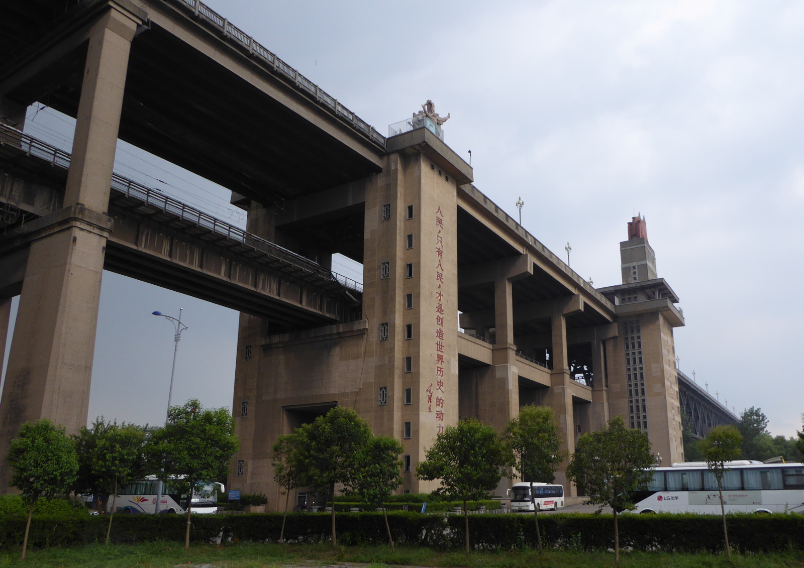
Nanjing’s Bridge over the Yangzi (Yangtze) 南京长江大桥
This double-decked bridge was completed in 1968. The upper level carries automobile/bus/motorcycle traffic, while the lower level is for trains. The project was designed and built exclusively by the Chinese and was understandably a source of great pride. In 1976 when I worked on highway bridges on Vail pass I remember a book about bridges in China and how impressed I was by this bridge.
Well, I am glad I visited it when I did. According to traveler information on the Internet, bridge traffic was shut down starting in October 2016 for a two year renovation project!
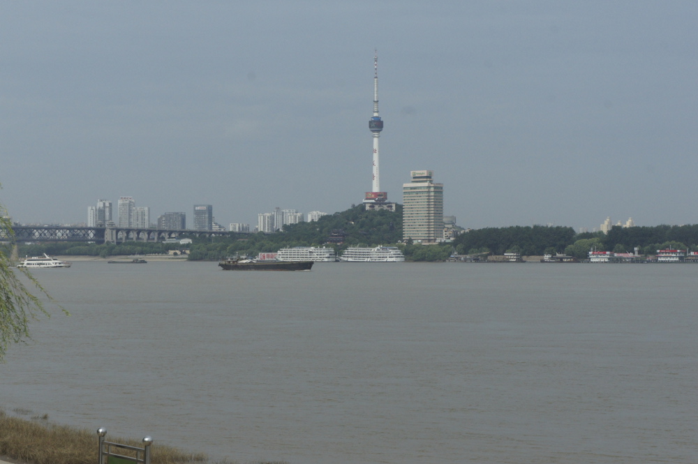
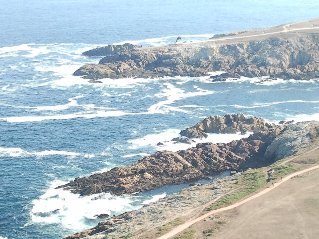
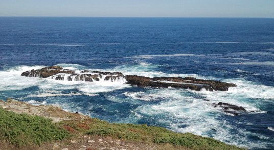
Dalian 大连市
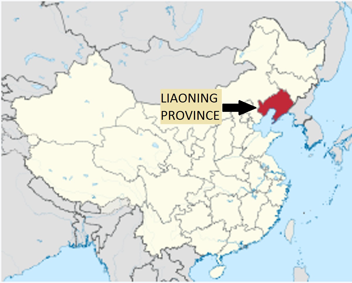
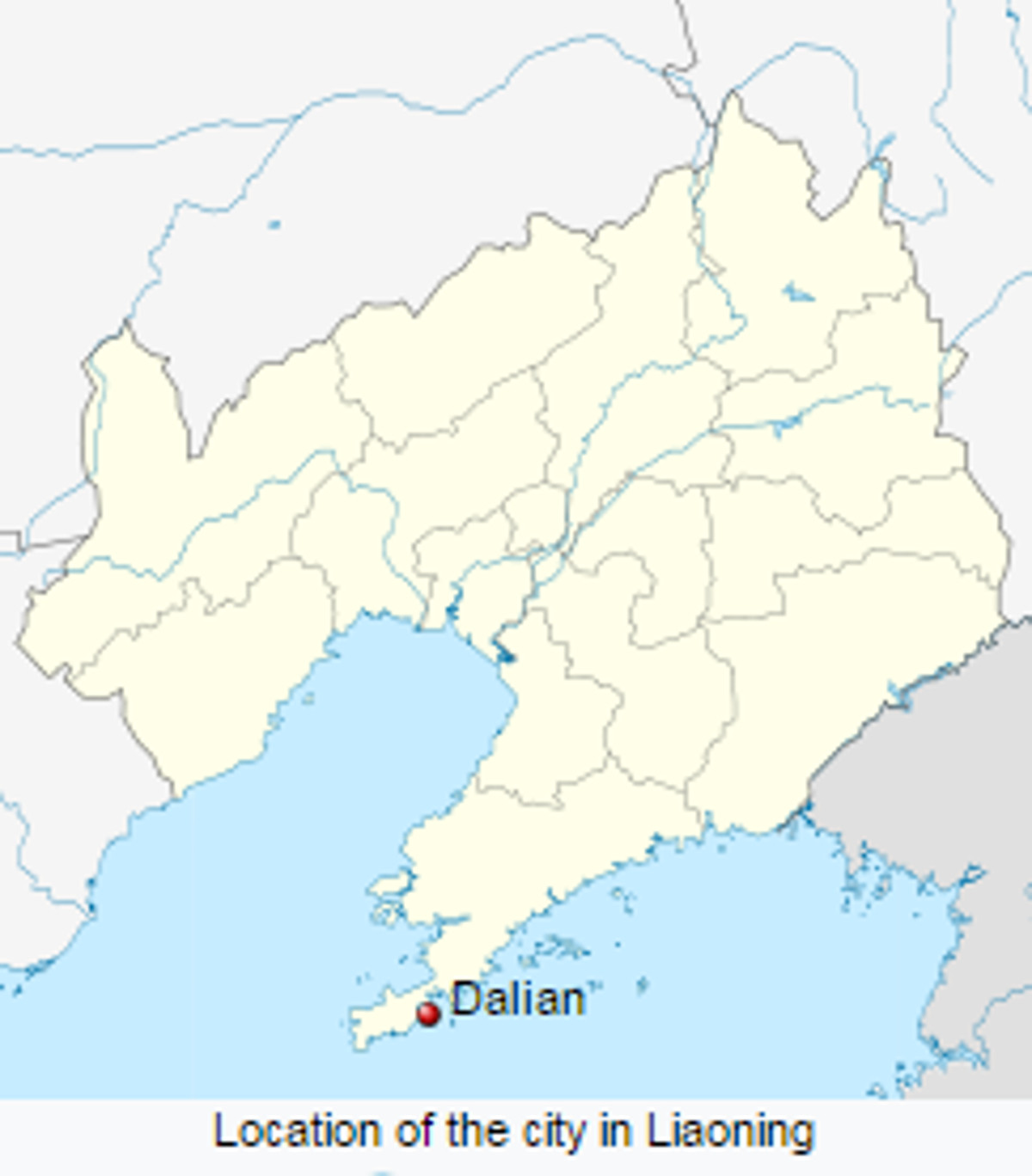
From Nanjing, I flew northeast to the port city of Dalian at the southern tip of Liaoning province. Due to the city’s strategic location, Dalian was coveted by the British, Russians, and Japanese, and suffered occupations by all three of those imperial powers. About 20 miles distant from Dalian is the town of Lushun whose “sights” include the old Japanese-Russian prison, complete with torture chambers. I decided to skip that side trip!
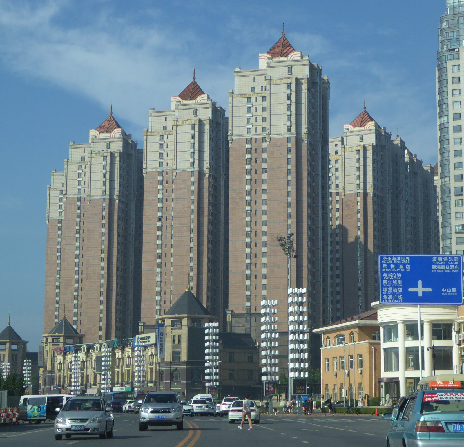
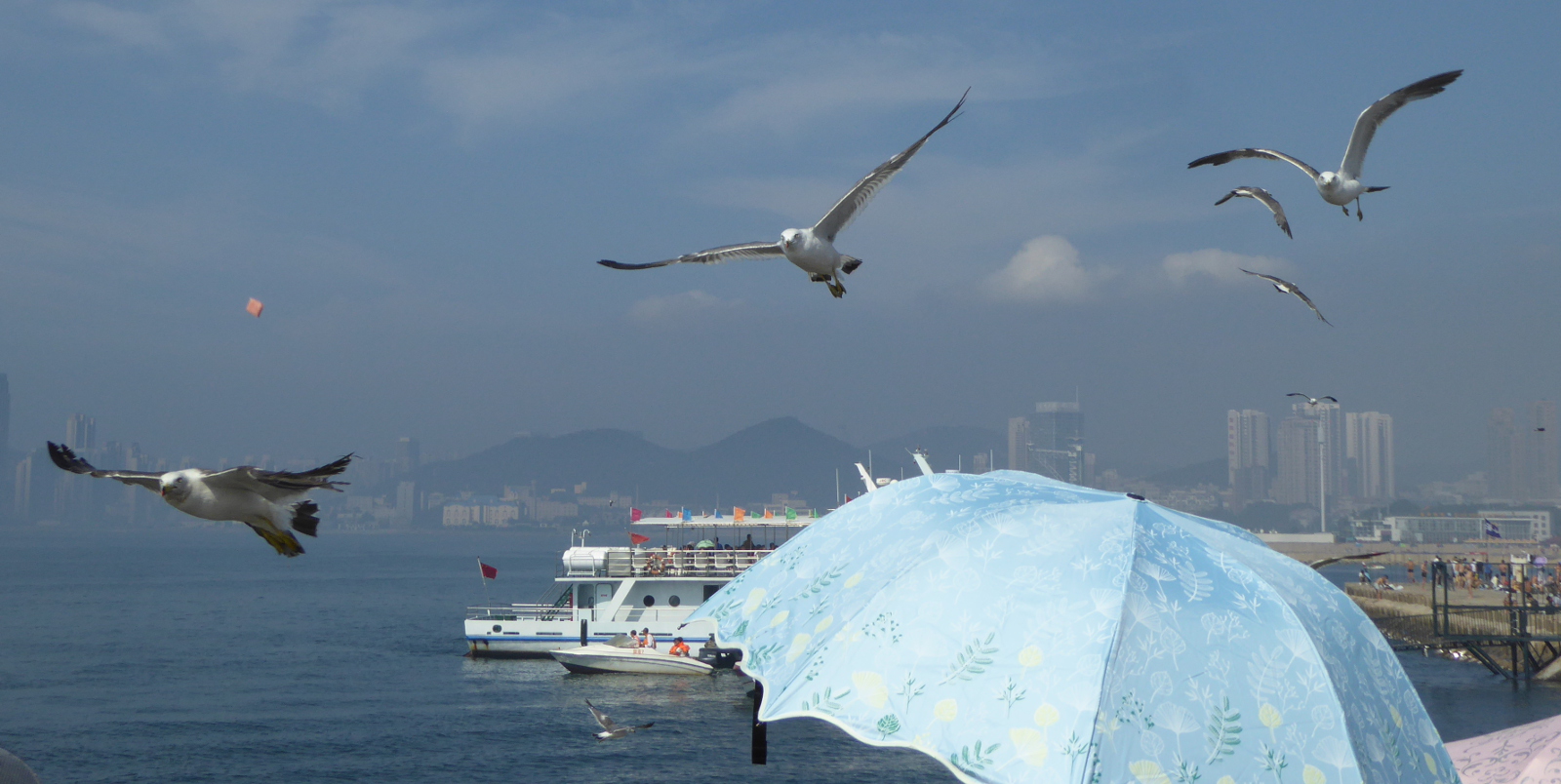
Dalian is fairly modern with many tall buildings. As you see in the photos, the air is clean.
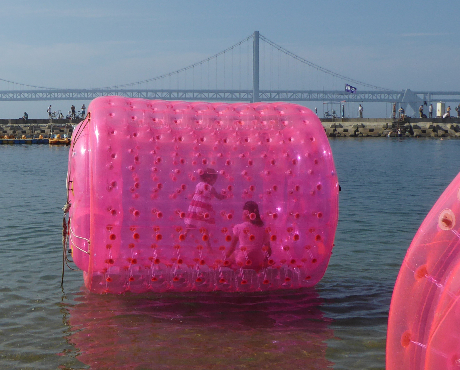
There are a number of beaches and boardwalks in Dalian. Lots of fun activities for families!
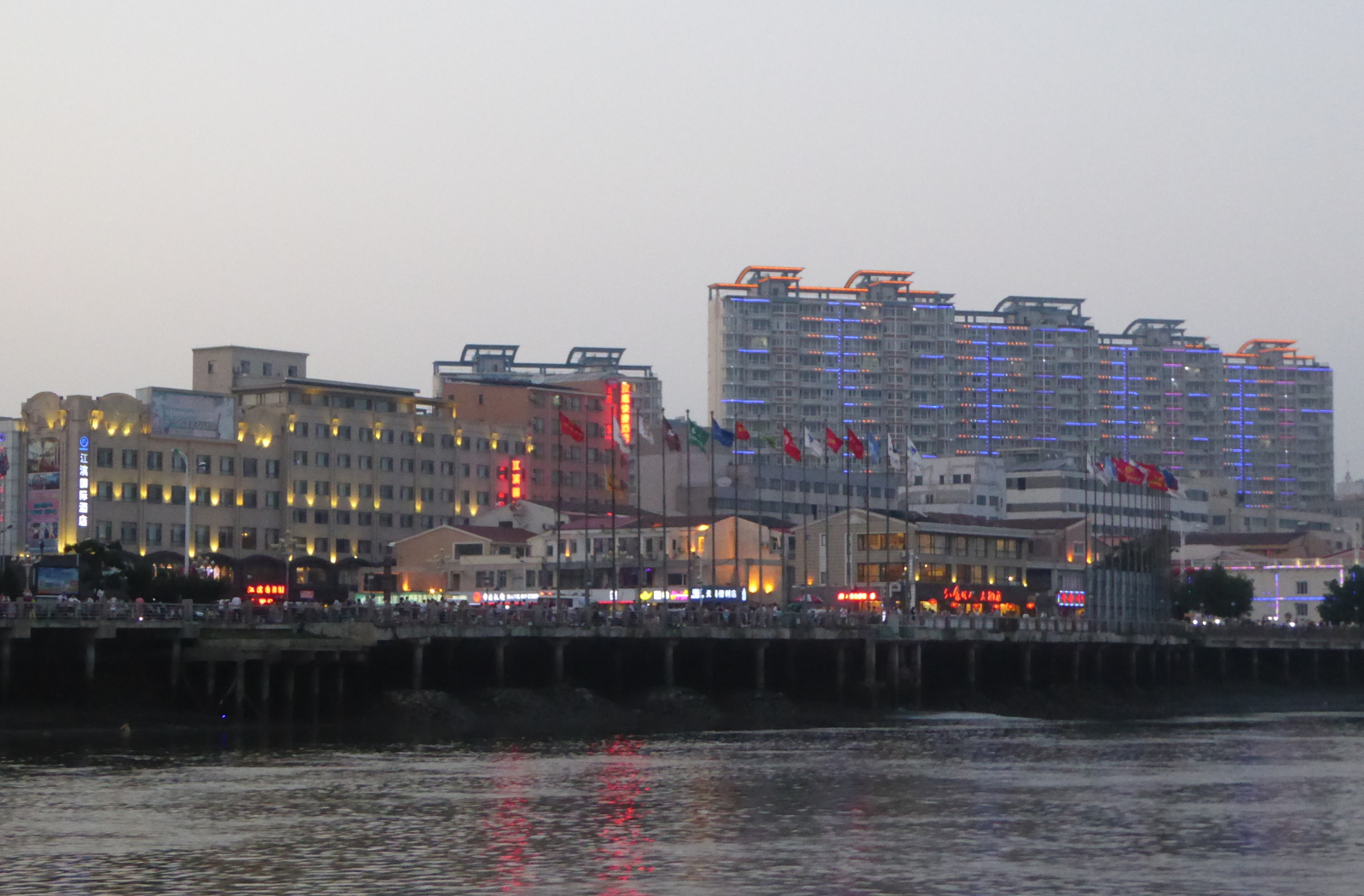
Dandong 丹东
Dandong is a bustling and prosperous city right at the border with North Korea.

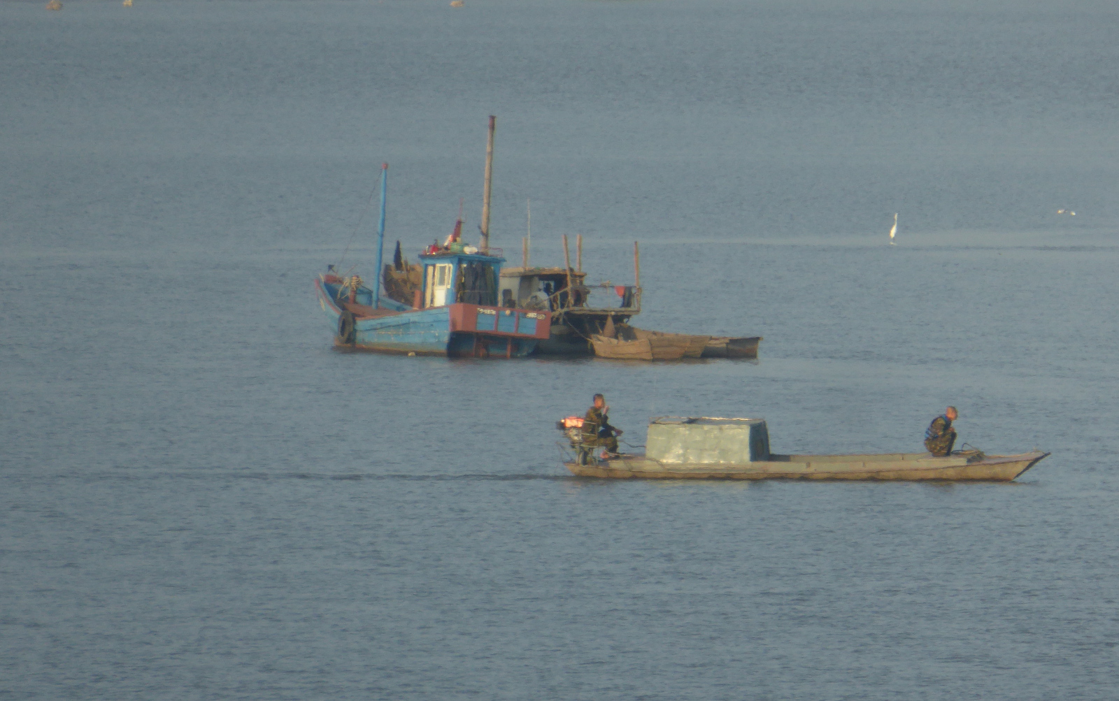
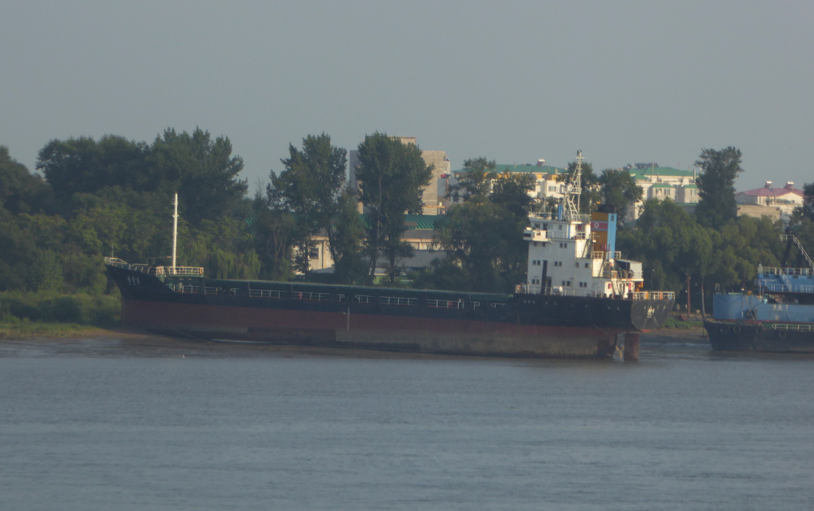
North Korea (Democratic People’s Republic of Korea) 조선민주주의인민공화국 and the Yalu River 鸭绿江
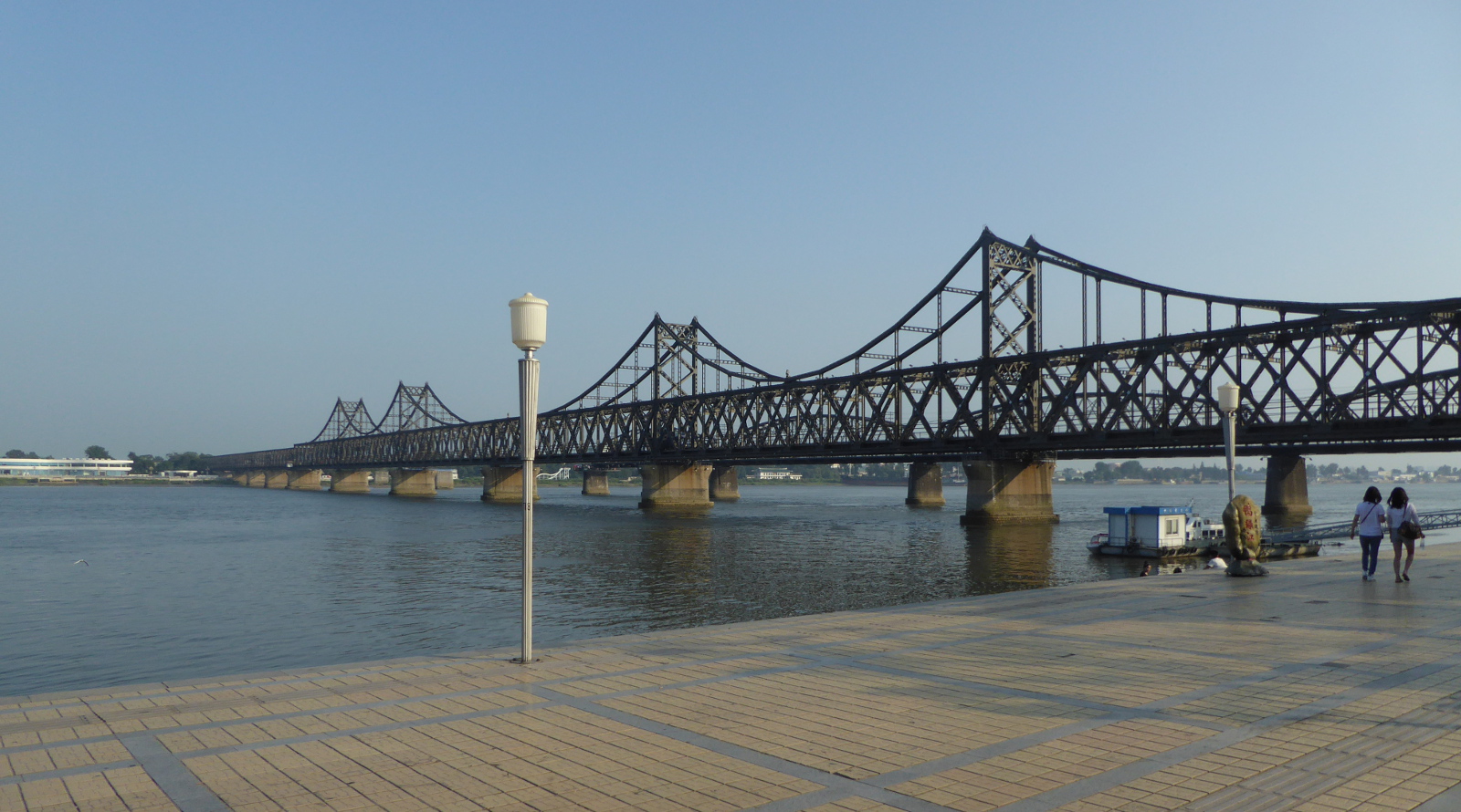
A steel bridge crosses the Yalu river, connecting Dandong with North Korea. While I was there I saw occasional trucks lumbering slowly across the bridge from Korea.
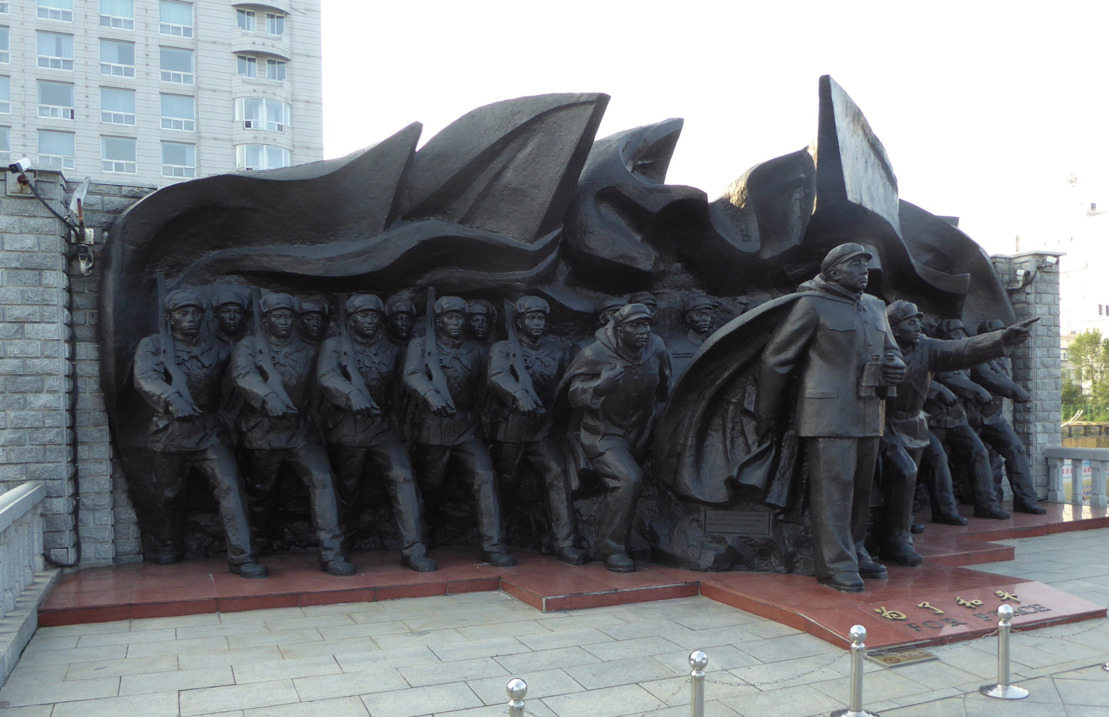
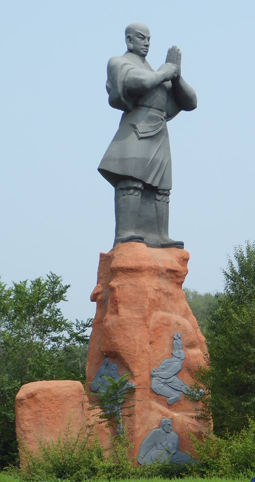
The Yalu river as it passes by Dandong provides a historical backdrop and evokes memories and memorials related to the Korean War. An American push to take control of the entire Korean peninsula was further complicated by American general McArthur’s posturing in favor of additional broadening of the war. As American troops raced up to the Yalu river, China intervened on behalf of the North Koreans. This helps explain the riverside displays of vintage anti-aircraft weapons and this sculpture of troops facing the border with Korea.
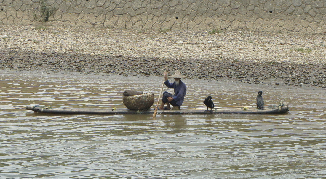
I took a tourist boat ride that looped down then back up the river. Views included North Korean fishing boats, and rusty ships beached on the Korean bank of the river.
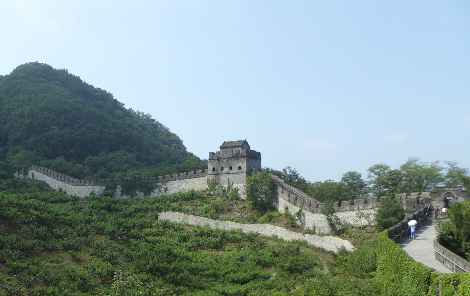
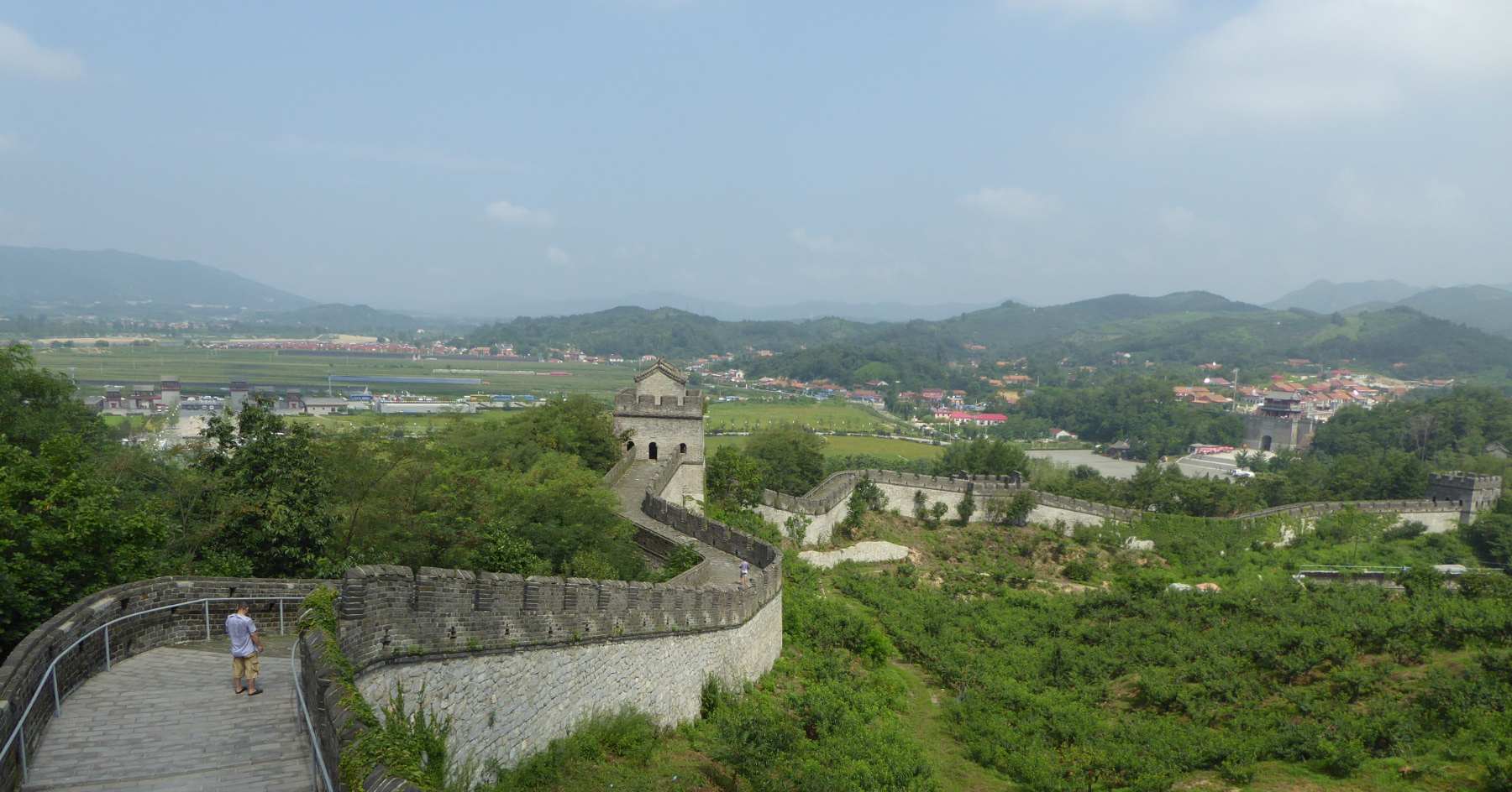
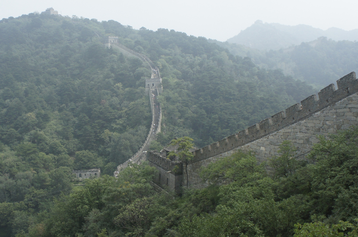
Tiger Mountain (Hushan) Great Wall 虎山长城
Just north of Dandong city is a restored Ming Dynasty section of the Great Wall, said by some to be the furthest east part of the wall. Although there were other tourists (Chinese) there, it was not as overrun with visitors as some sections near Beijing.
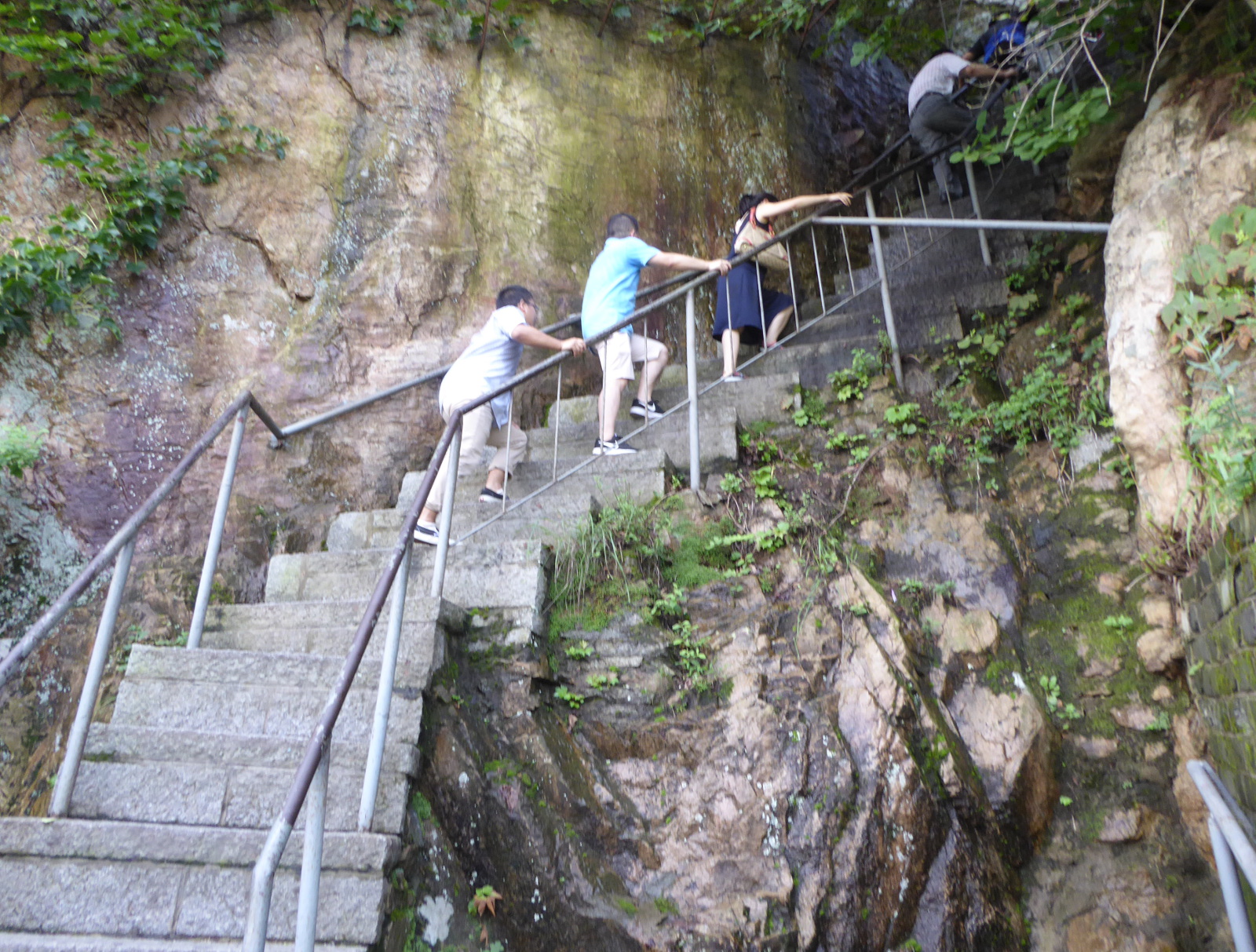
The guide books speak of a museum at the other side of the mountain, but I cannot vouch for that. The day was extremely hot, and I was dripping sweat. At a certain point, the wall runs right into the mountain, and you continue to the other side by climbing steep stairs. I went far enough up those stairs to reach a spot where a young woman had collapsed from the exertion. I realized I had reached my limit, and after a short rest, returned to the starting point!
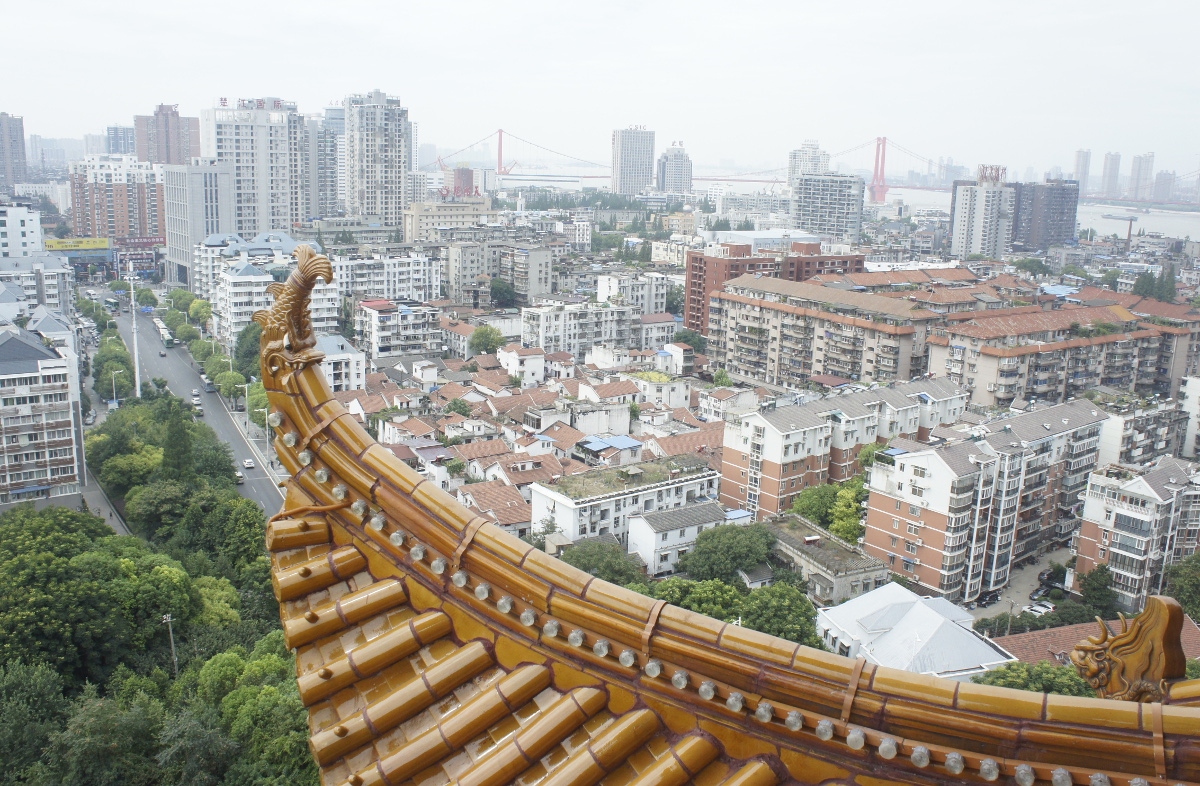
Shenyang 沈阳市
Another train ride through lovely landscape took me from Dandong to Shenyang, the provincial capital. It is a large industrial city of over six million inhabitants. Shenyang is also full of history.
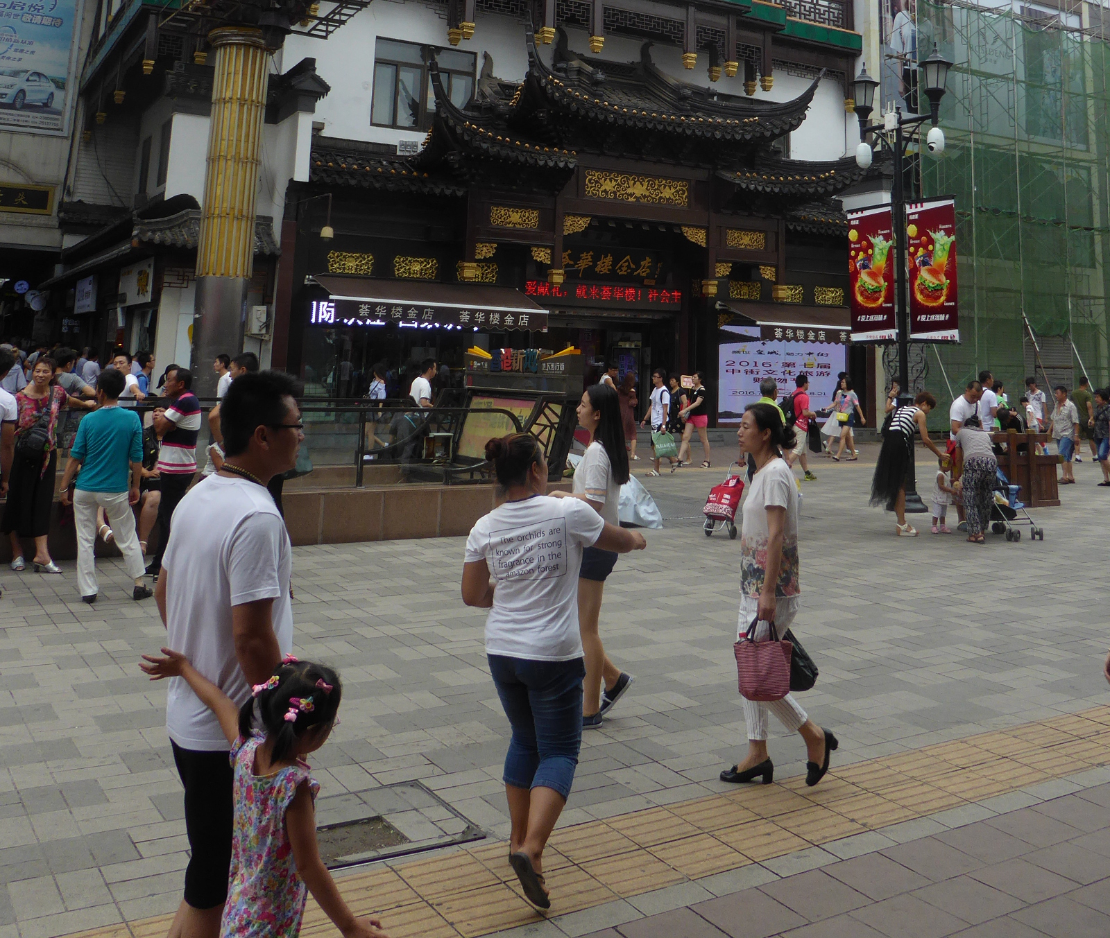
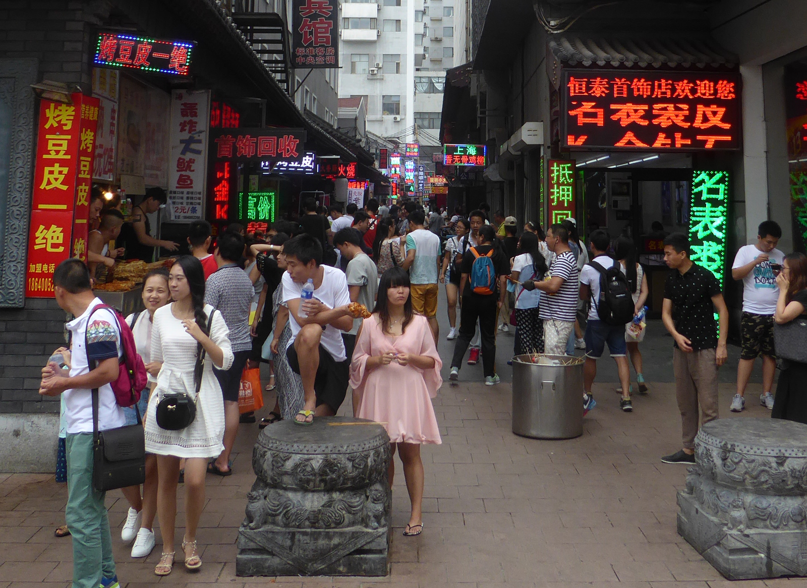
Streets of Shenyang
The broad “Zhong Zie” pedestrian street in the middle of town:
A side street with bright neon signs offers a variety of foods.
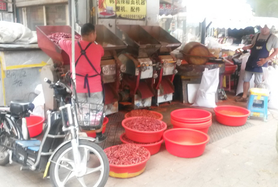
Near the Korean section of town I encountered a small street with a variety of foodstuffs, including this stand where the process of grinding dried red chili peppers was in progress.
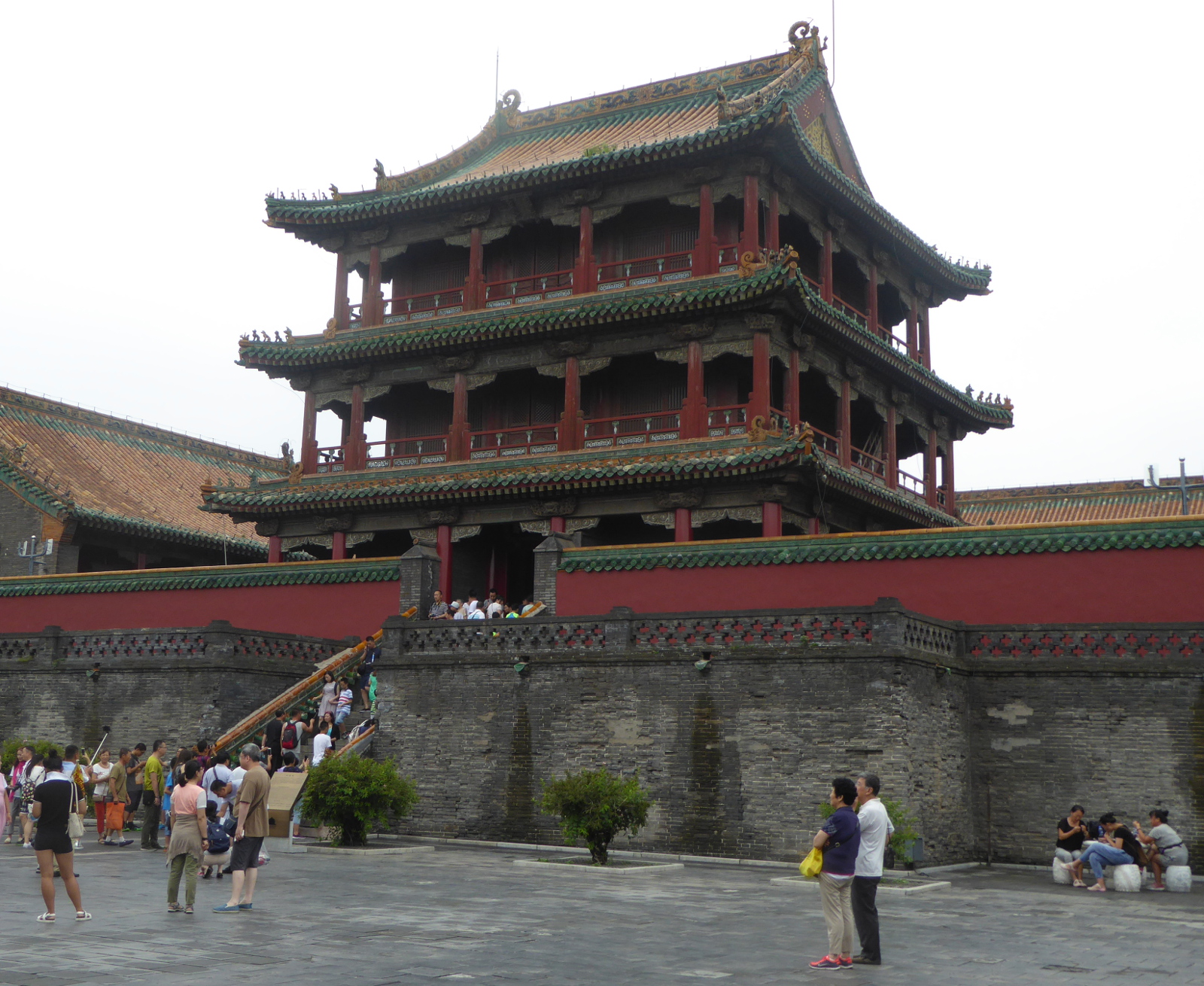
Mukden Palace 盛京宫殿
This part of China was the home turf of the Manchu people who took control of the rest of the country as the Qing (Ching) dynasty. The ancient name of the city is “Mukden”, and the sprawling palace of the Manchus, said to be patterned after the Forbidden City in Beijing, still bears the old name of the city.
Generally the genuine Manchu nobility did not wear sneakers.
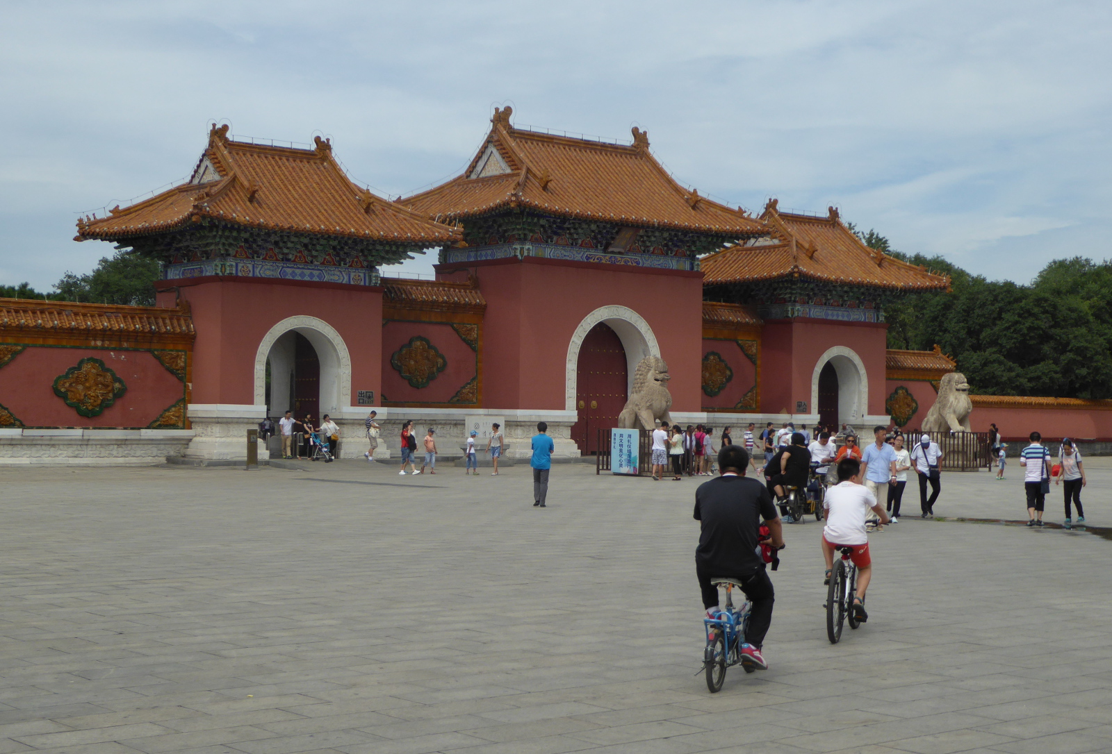
Beiling Park 北陵
At the northern edge of Shenyang is a lovely park that also includes the tomb of the second Manchu emperor. The park itself is tranquil and full of townspeople relaxing- families, couples strolling… and… your occasional western tourist!
China- I hope to return very soon! 中国 – 我会回来的!
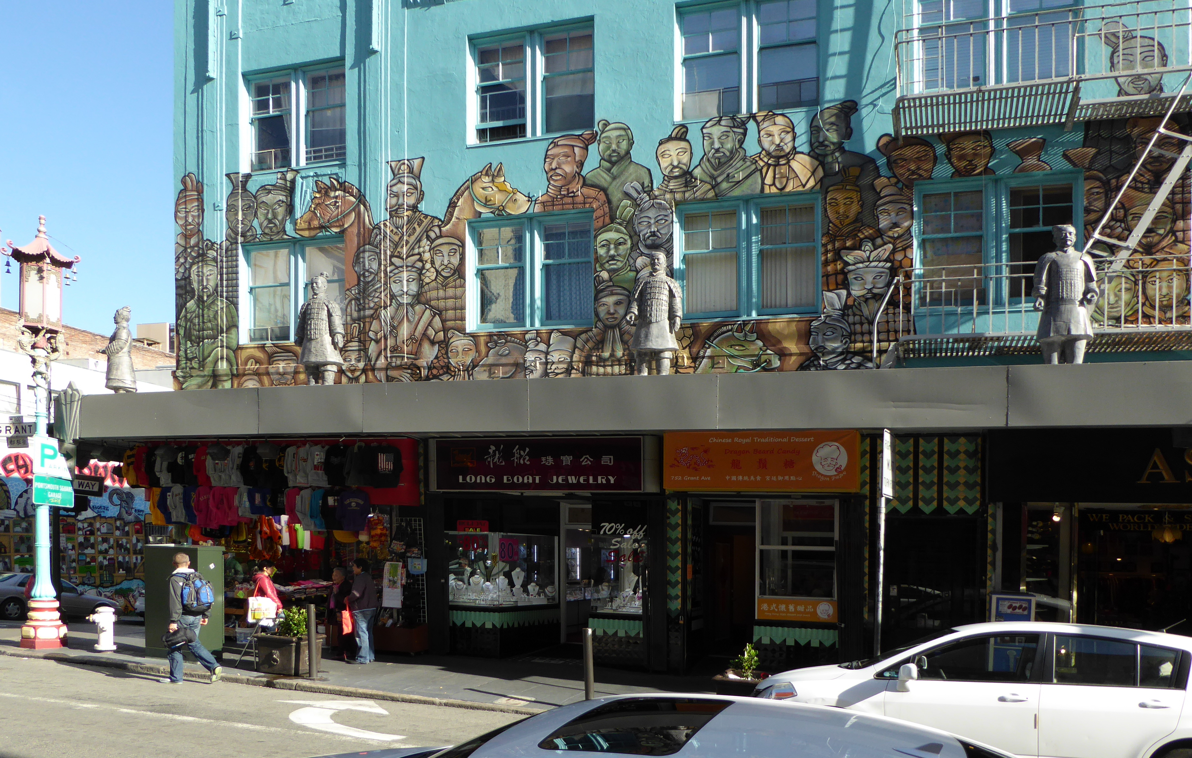
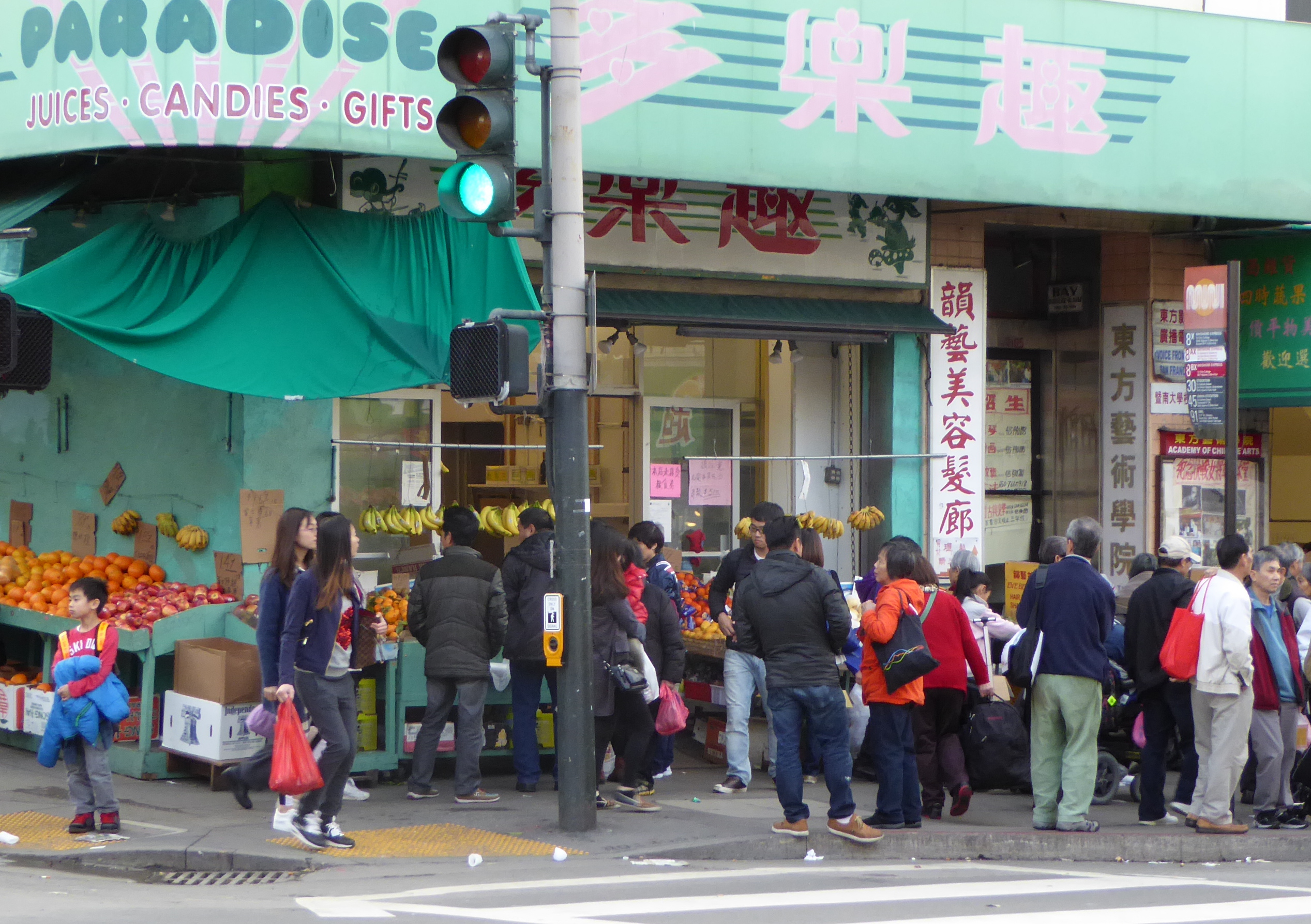
After Shenyang, I returned to Xi’an where I reclaimed bags I had left at the hotel. The next day it was off to the airport and a flight back to San Francisco, and then Denver.
I had a lovely time in China. The energy and excitement of the students at the university was gratifying, the landscapes were awe-inspiring, and the people genuinely friendly. To that mix throw in historical sites from one of the oldest civilizations on Earth.
I look forward to a chance to return. Maybe 2017?


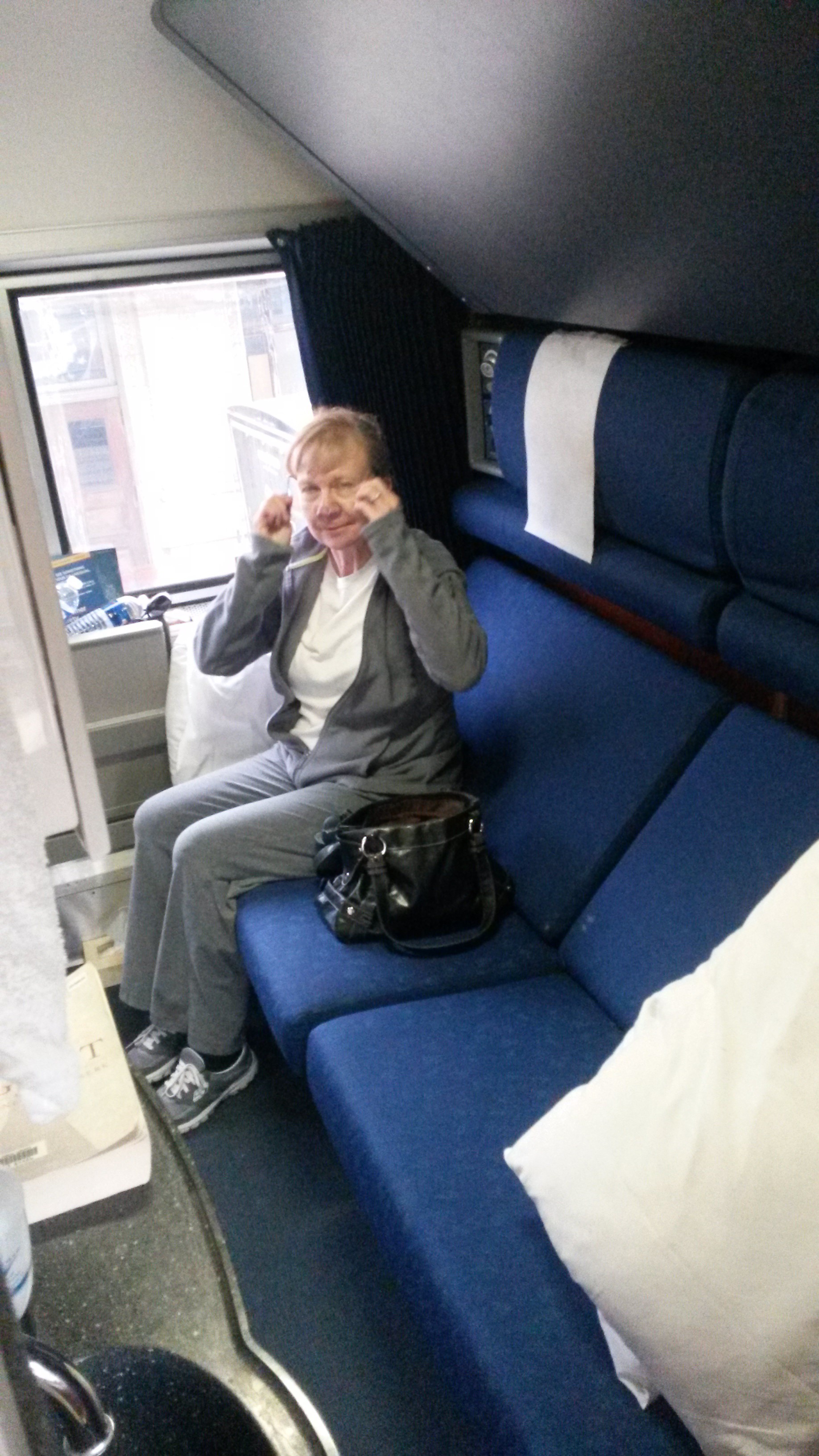

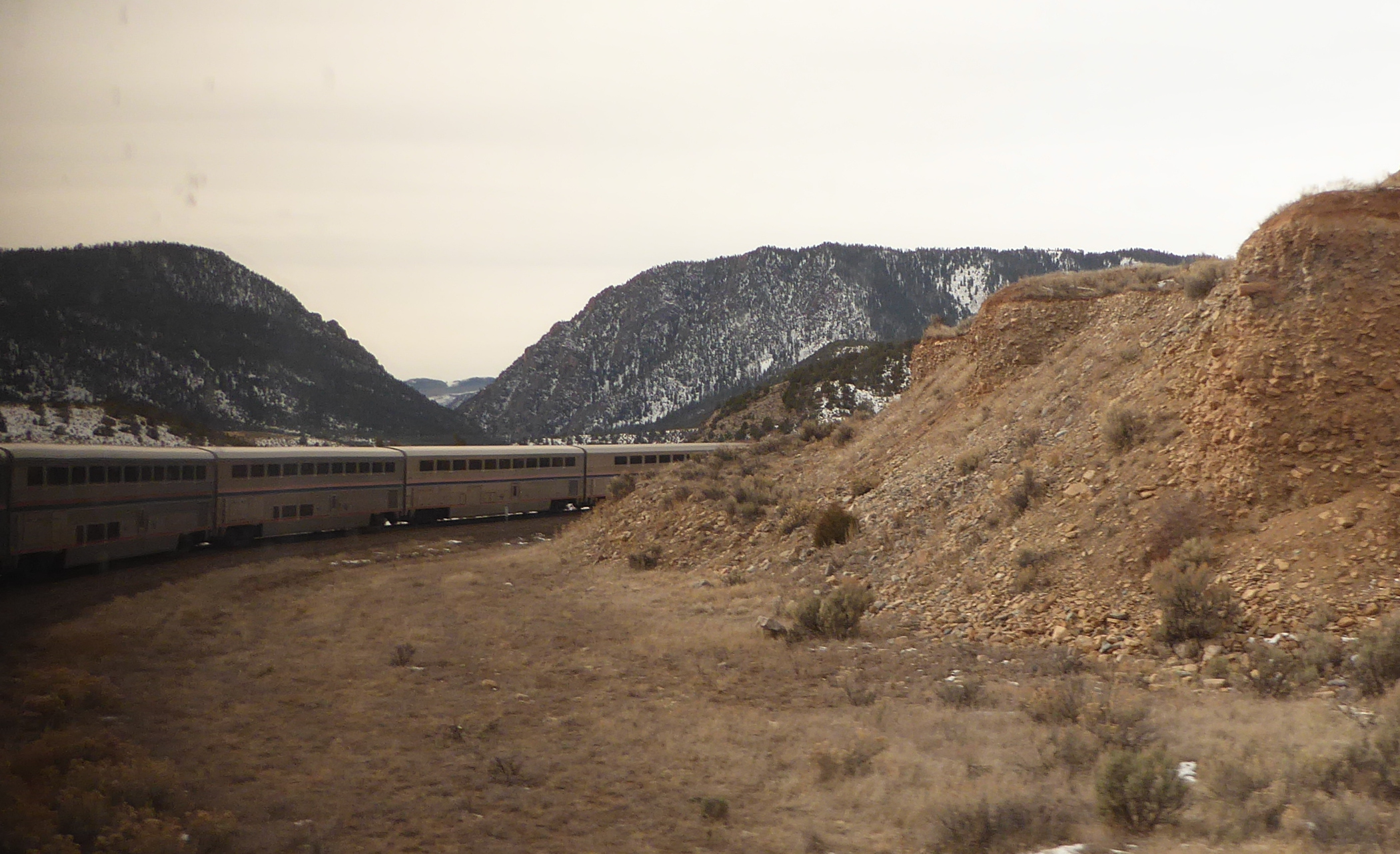
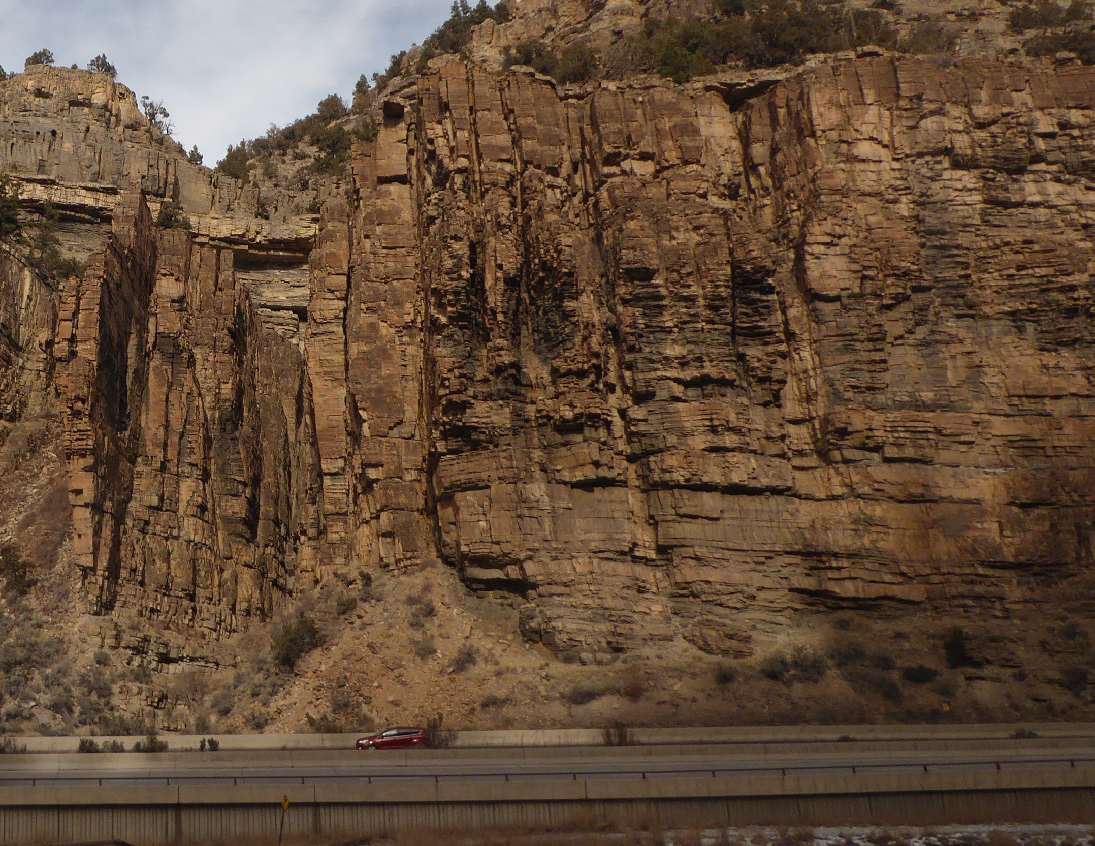
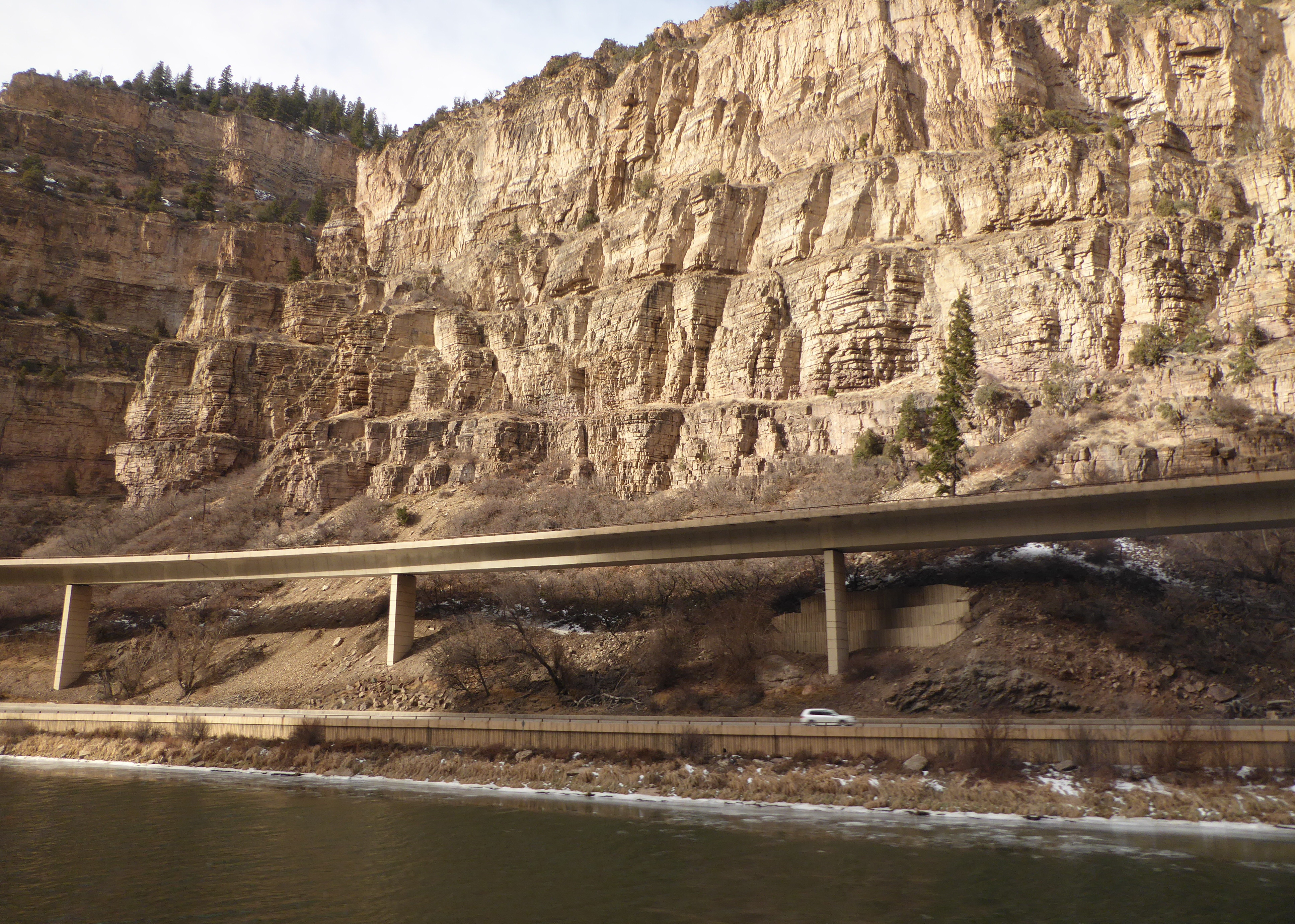
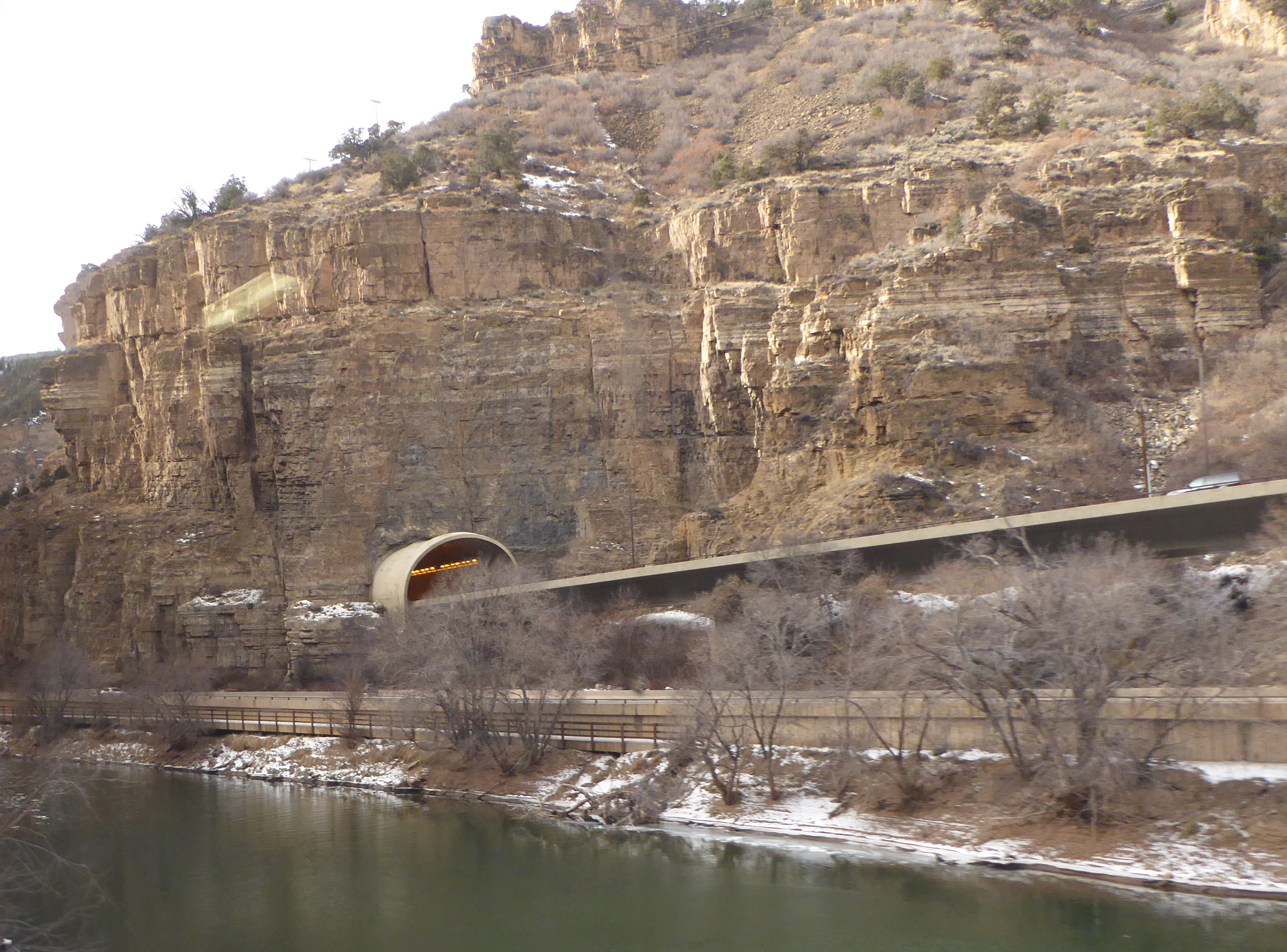
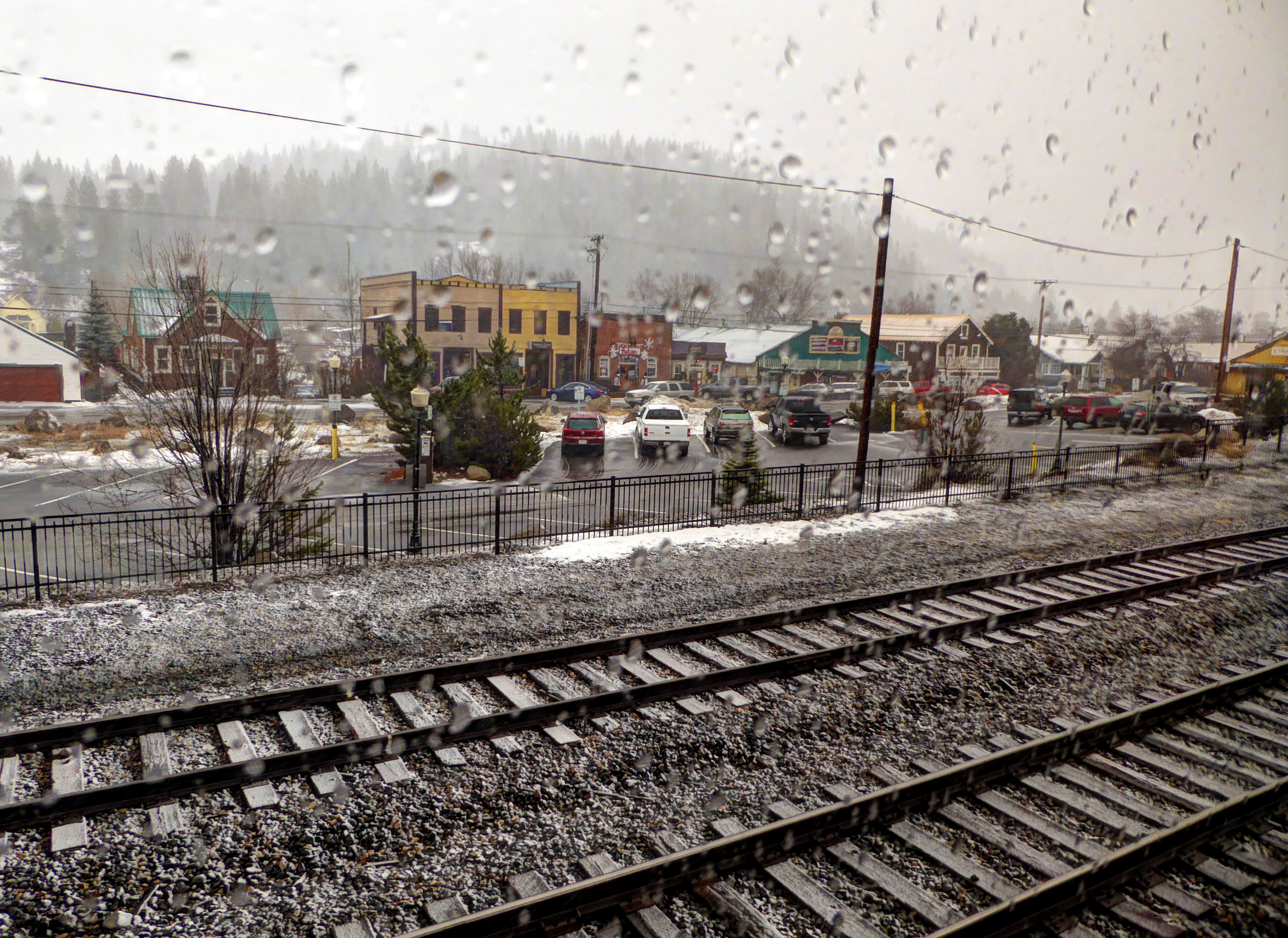
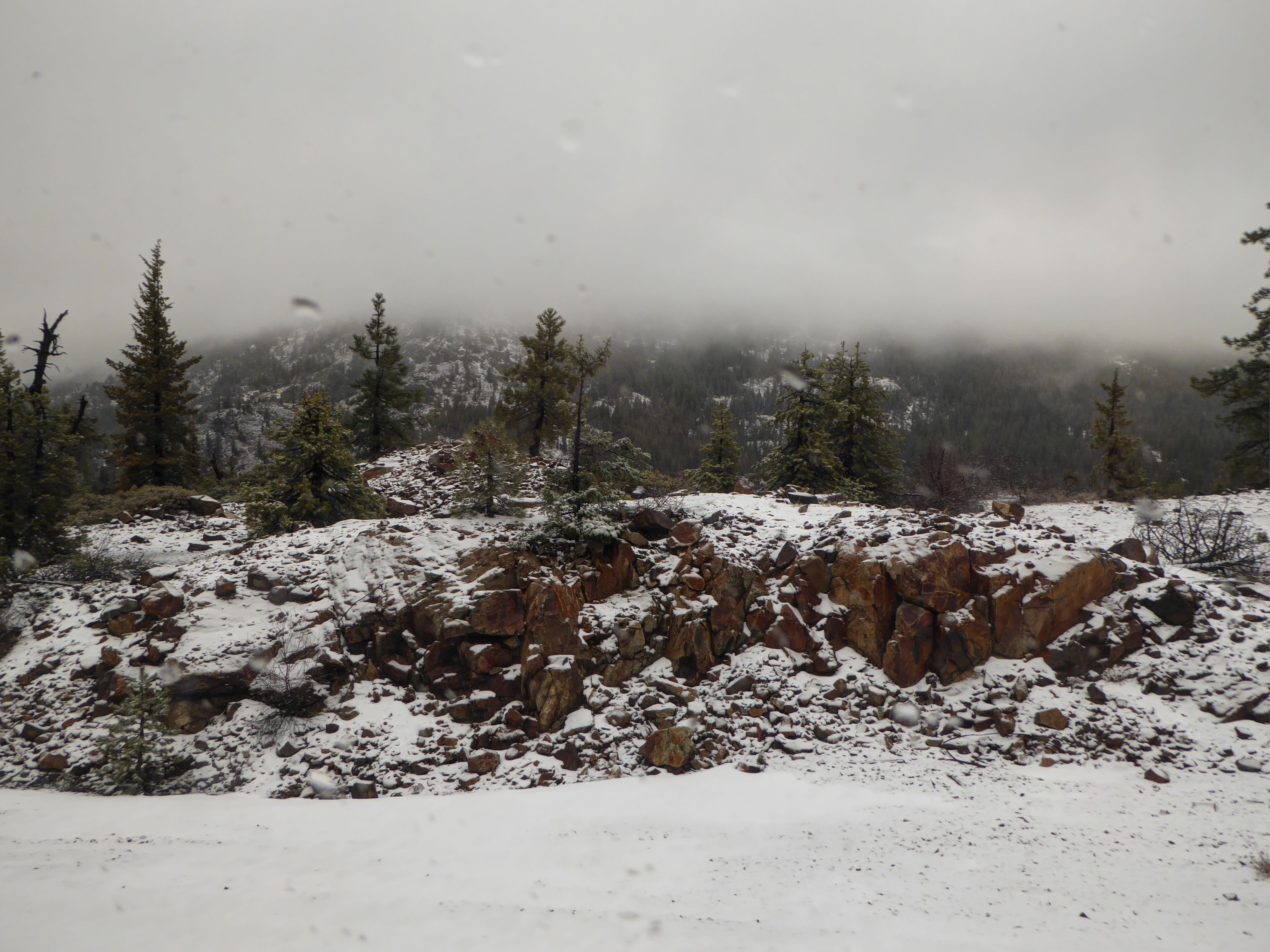


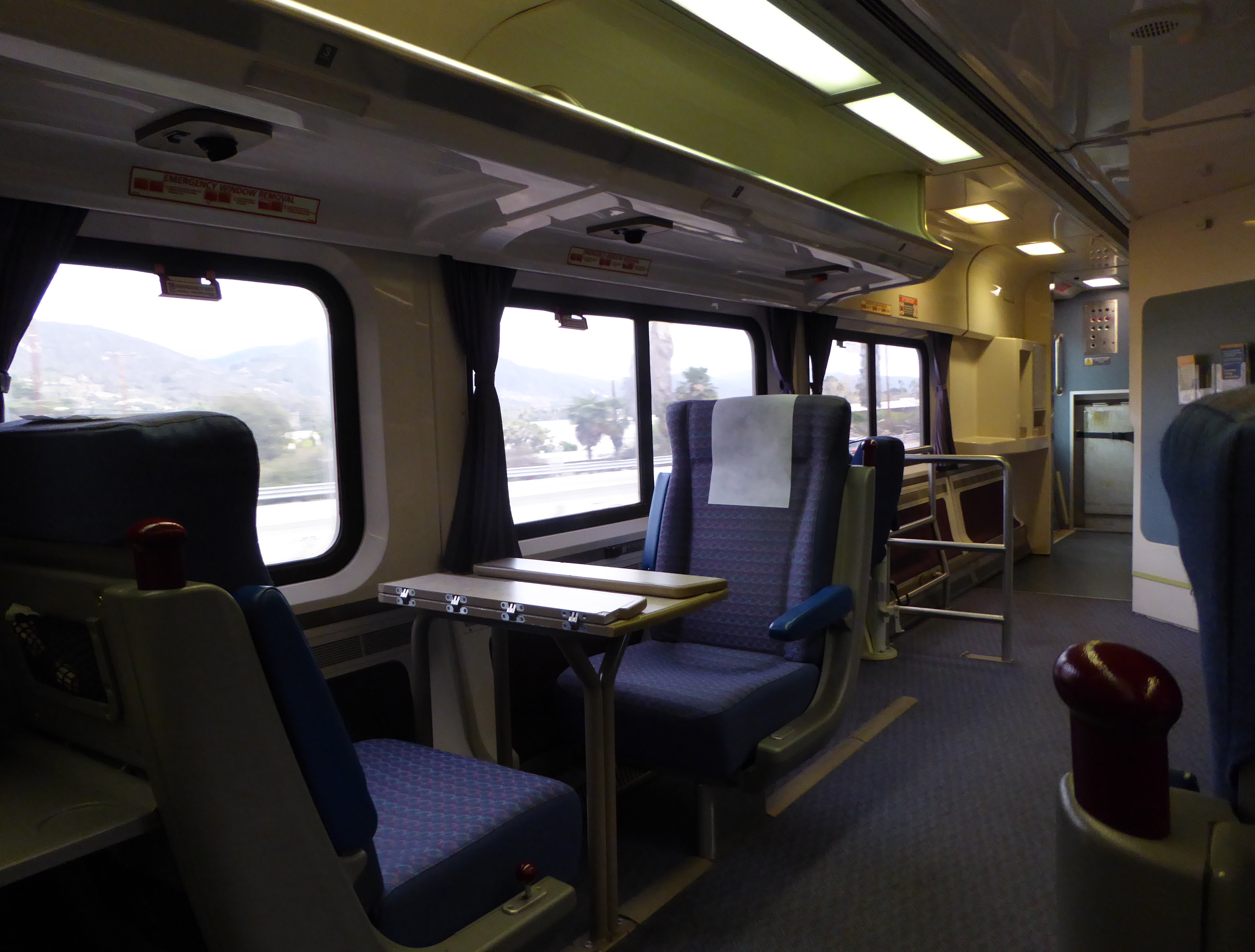

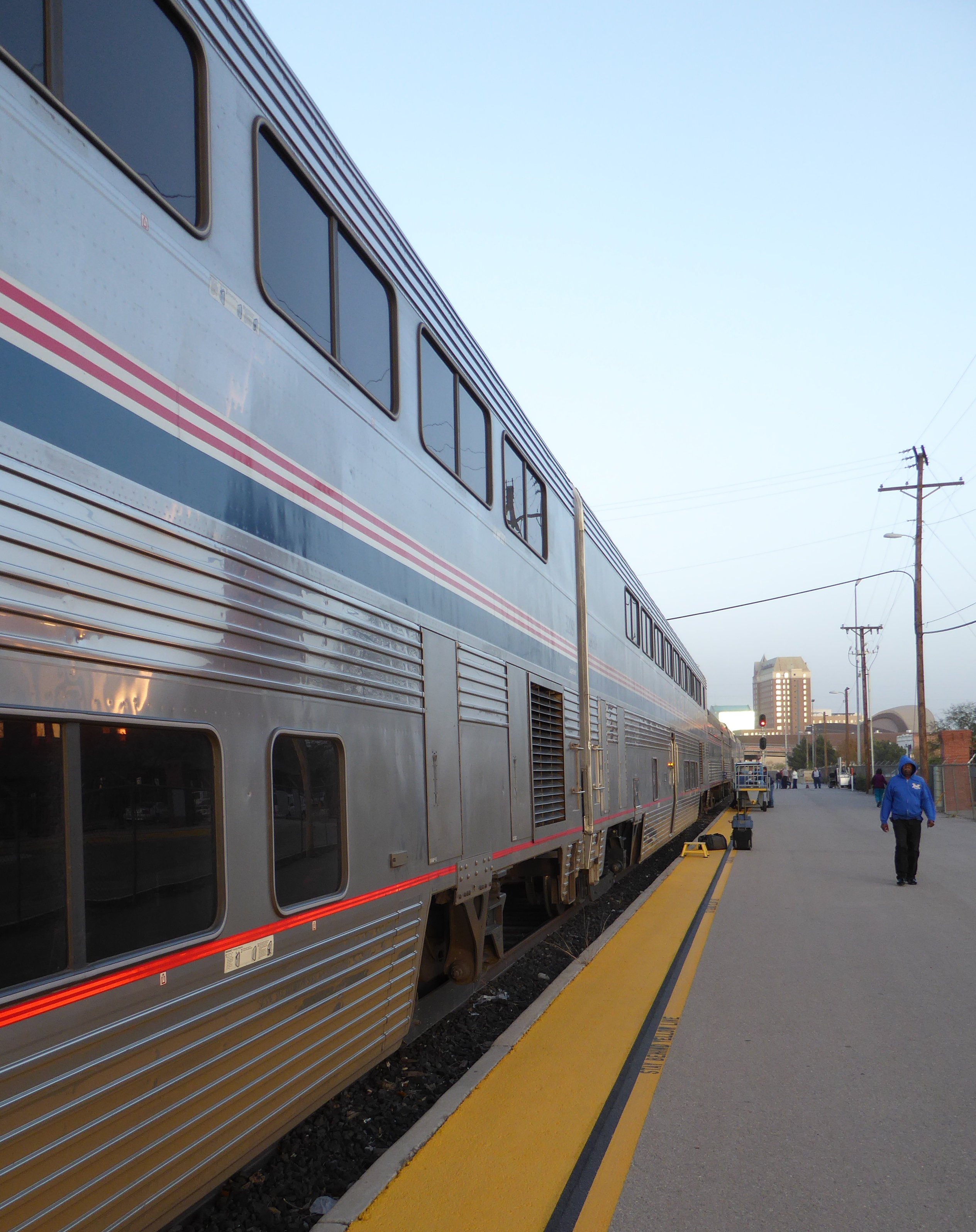
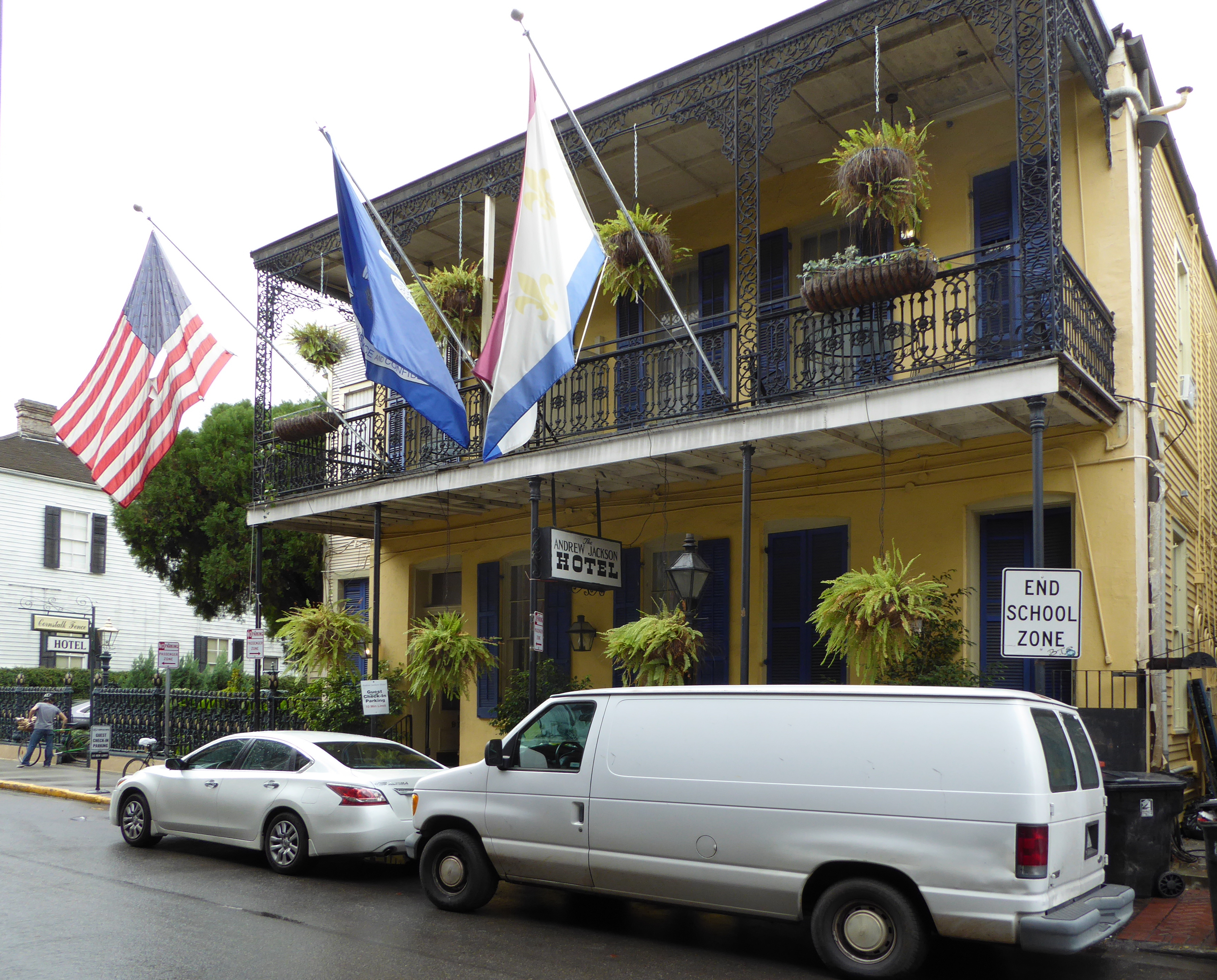

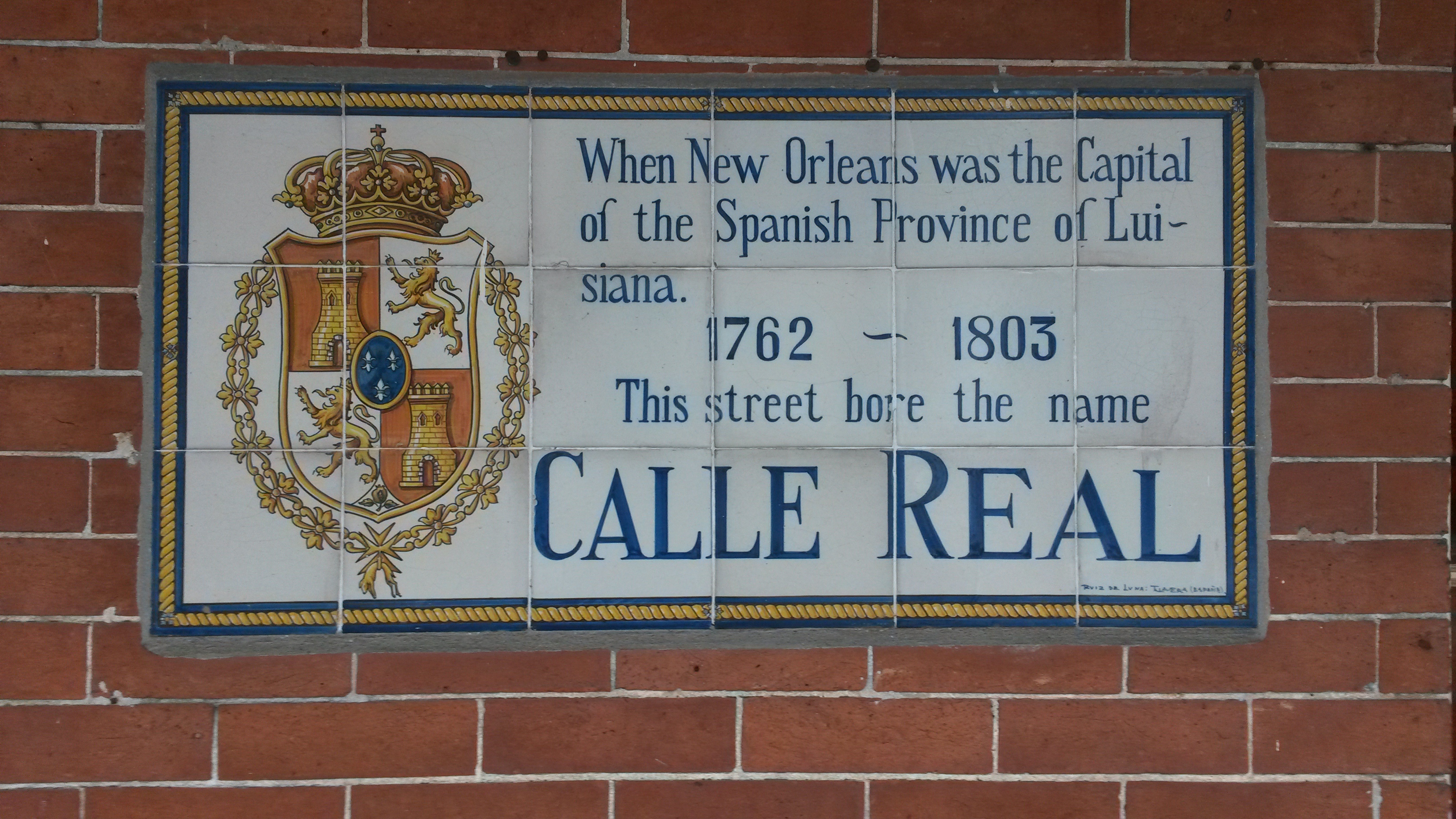
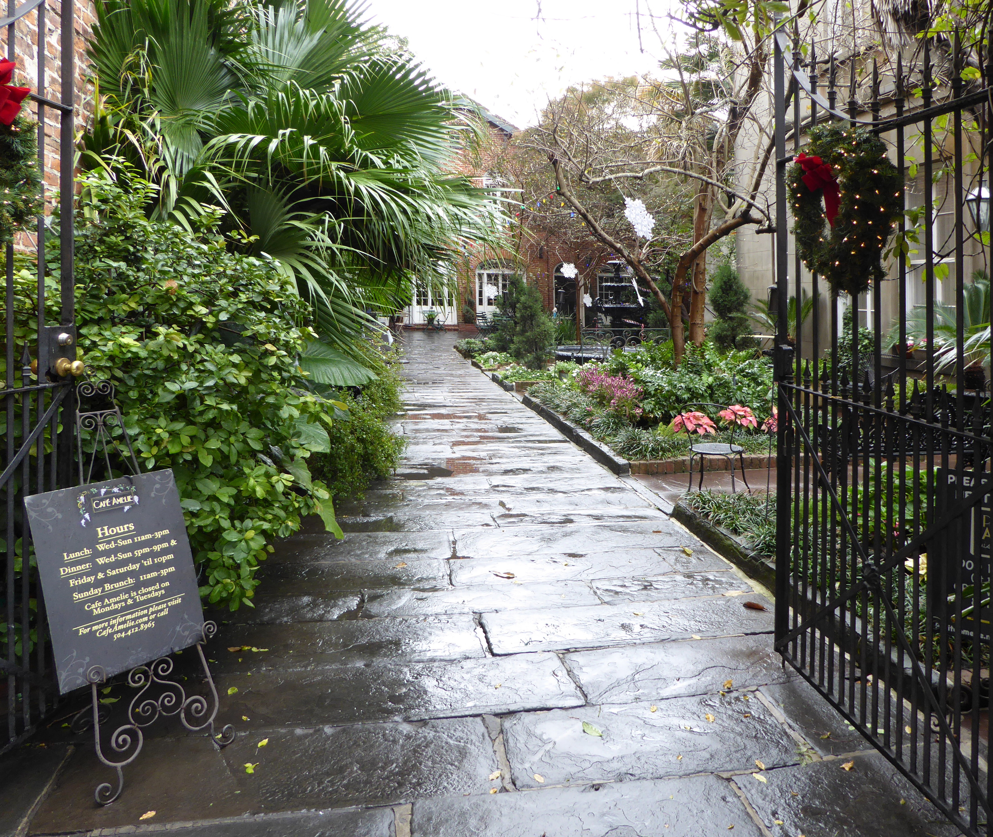
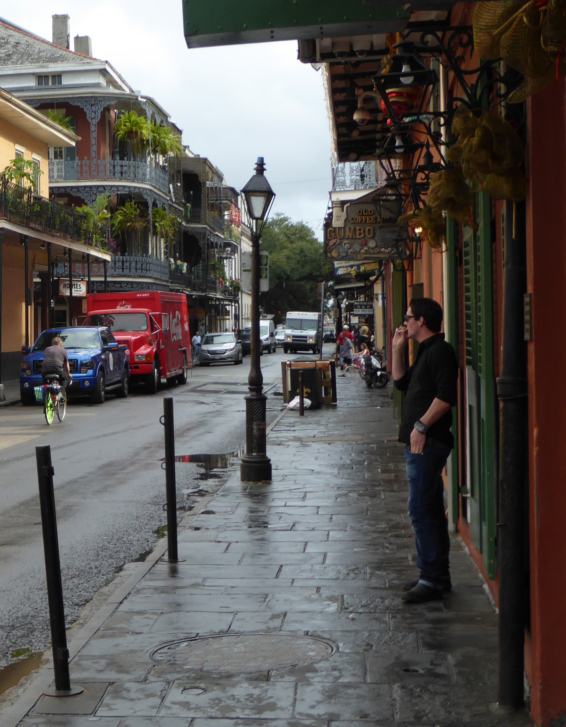
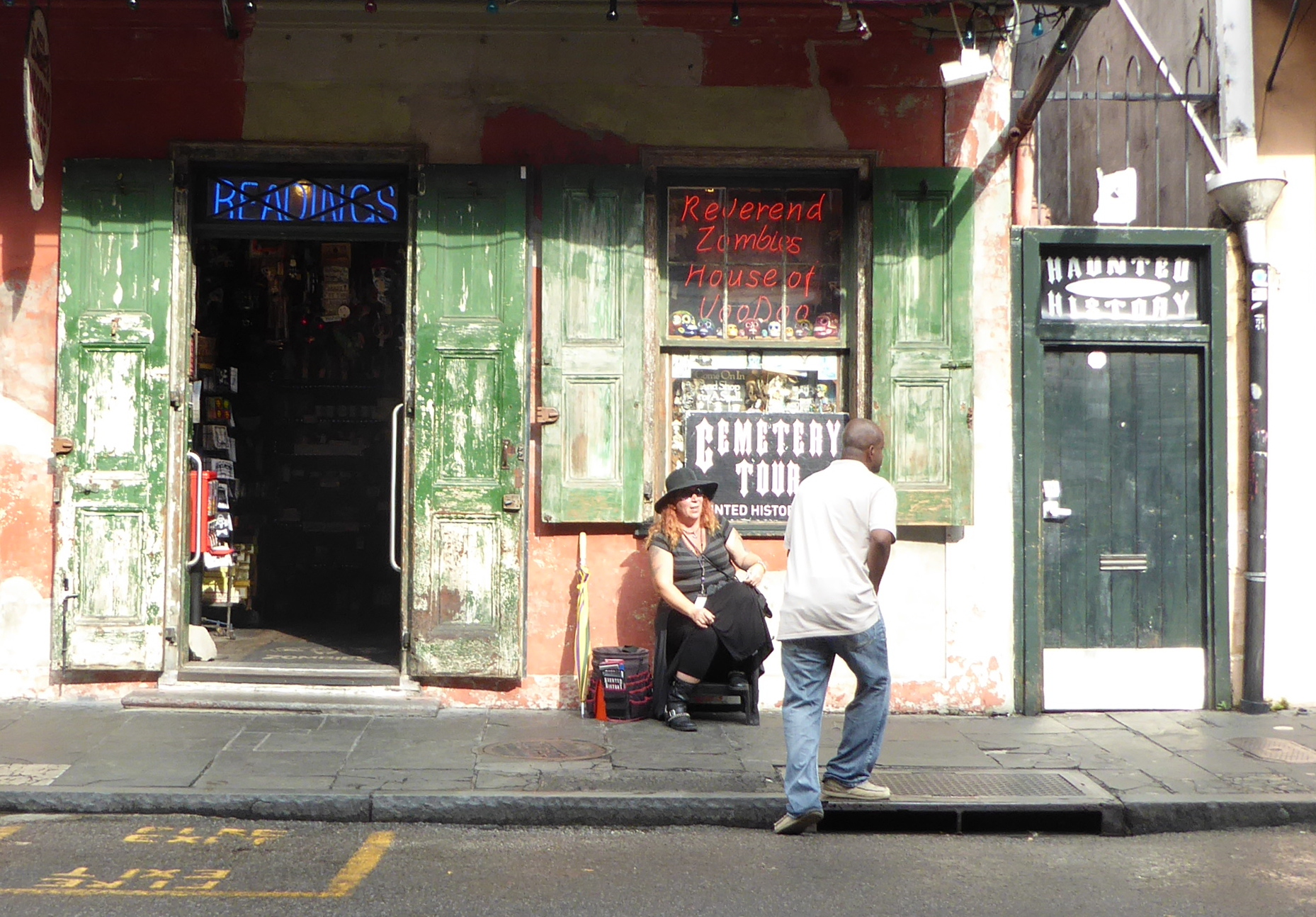
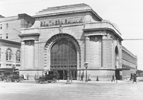

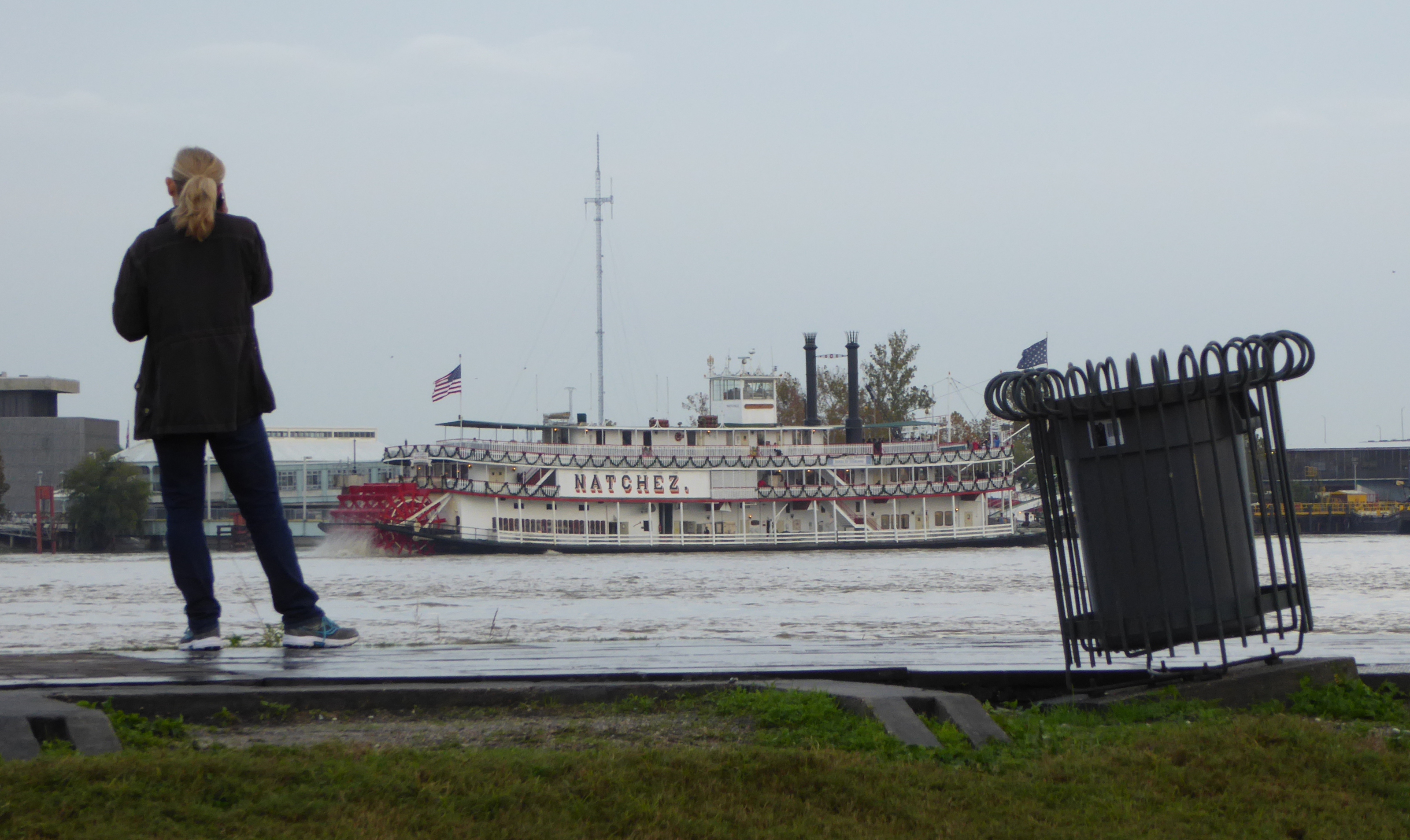
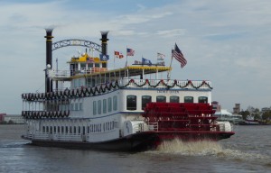
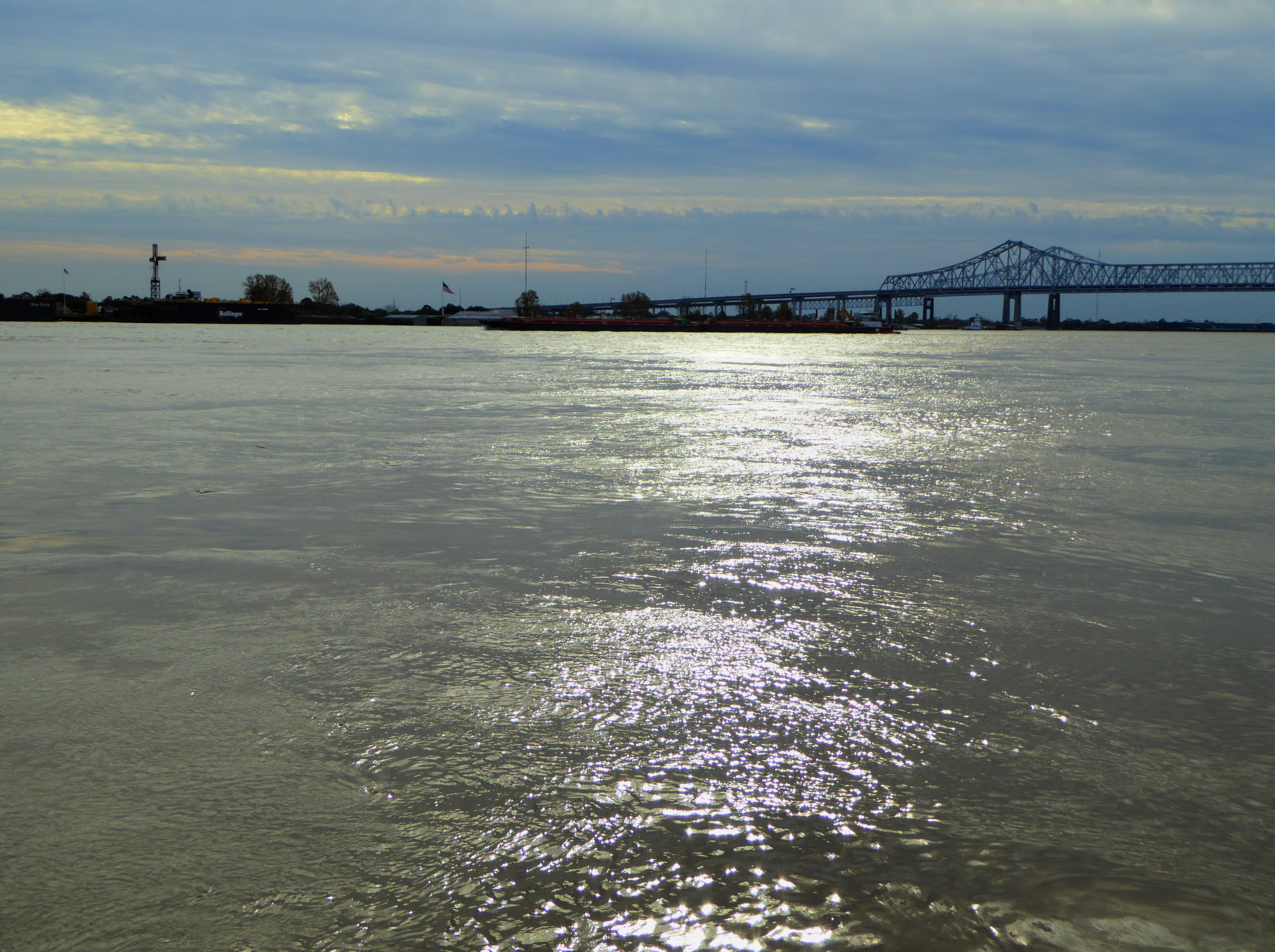
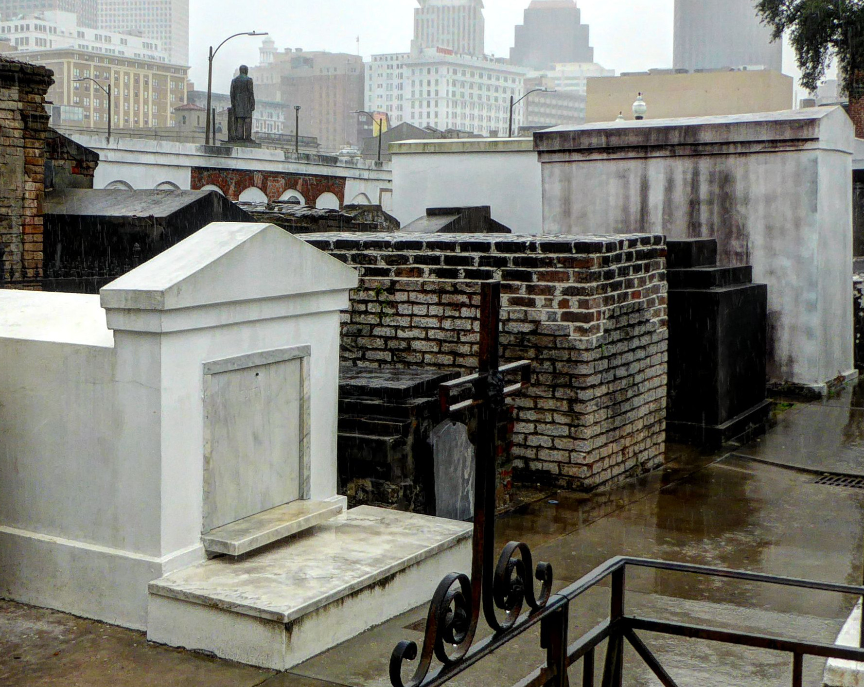
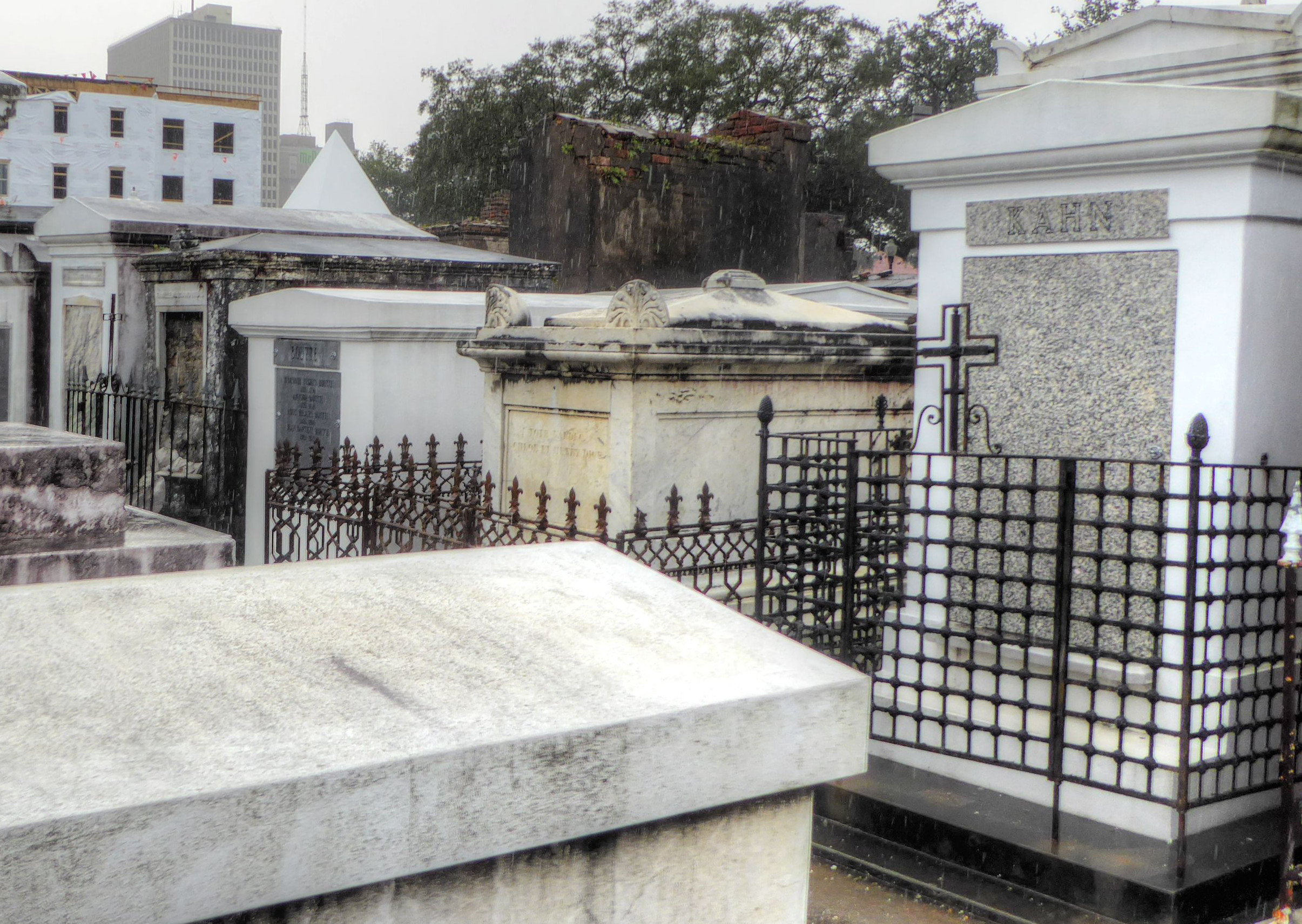
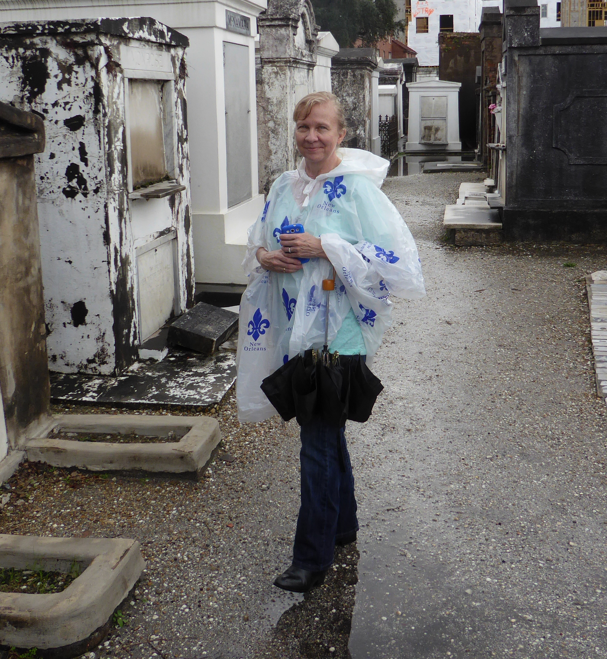
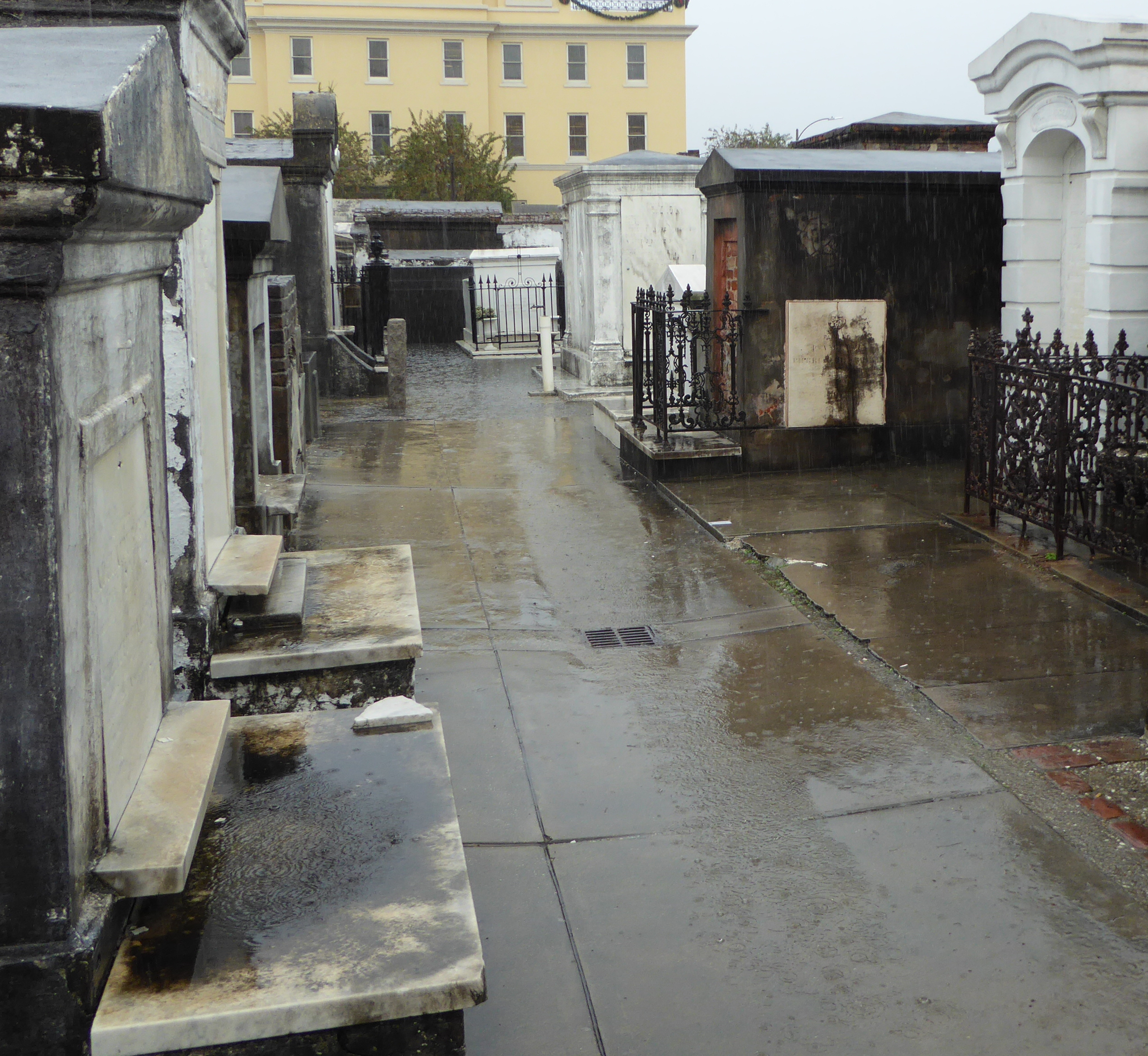
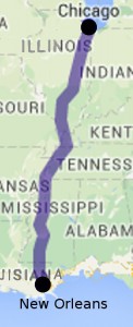 Leaving New Orleans we took an Amtrak train north to Chicago. This is the train that Arlo Guthrie sang about- “The City of New Orleans”.
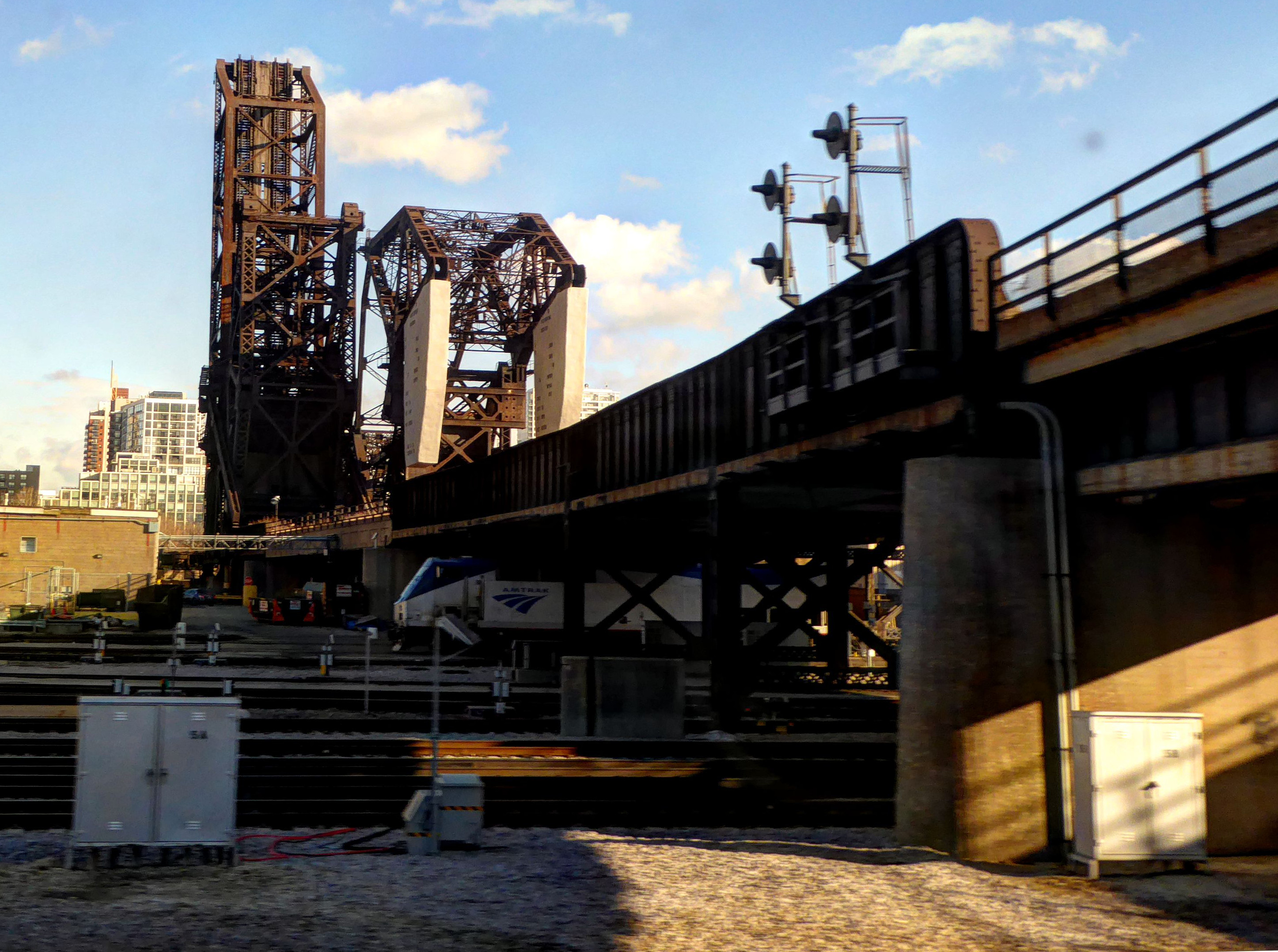


