To celebrate our 20th wedding anniversary, we decided on a nice, long train trip. For us, time on the train itself is always one of the most enjoyable aspects of a trip.
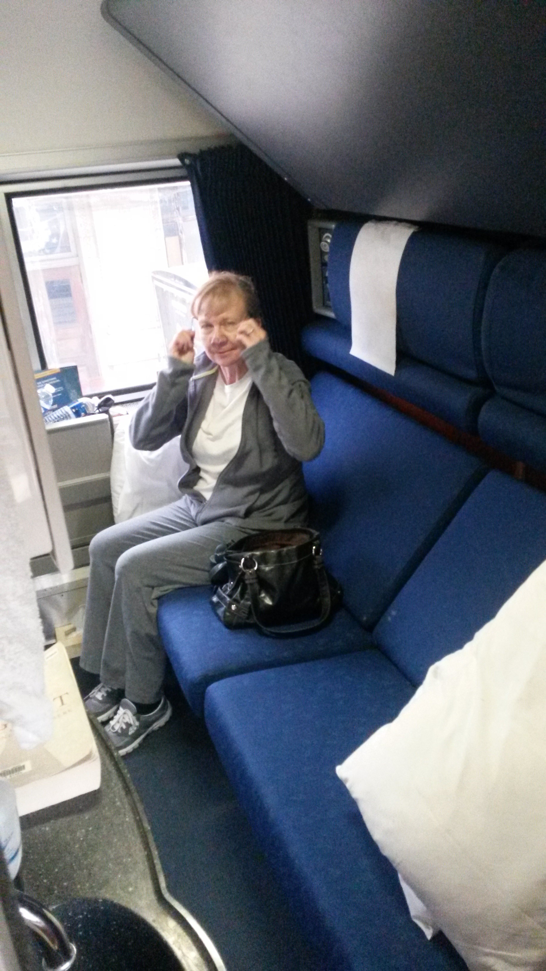
To spoil ourselves we arranged to have rooms (not the more spartan “roomettes”) on sleeper cars.
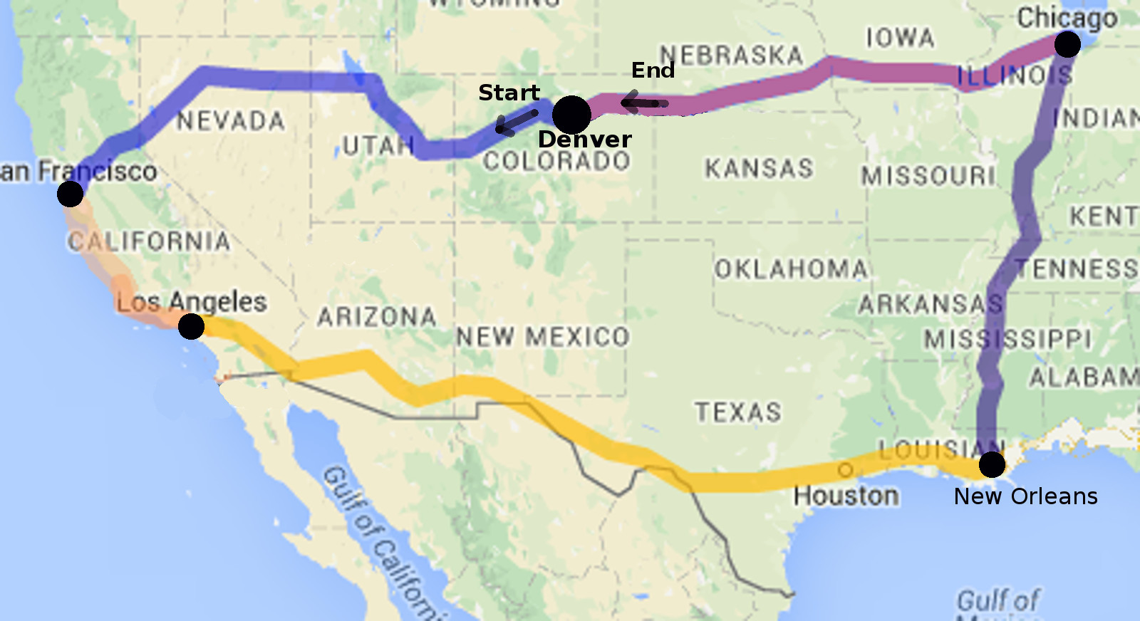
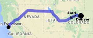
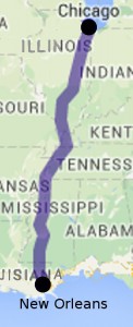
Our trip was a loop encompassing Western and Midwestern parts of the United States. This map shows the territory covered.
 Denver to San Francisco
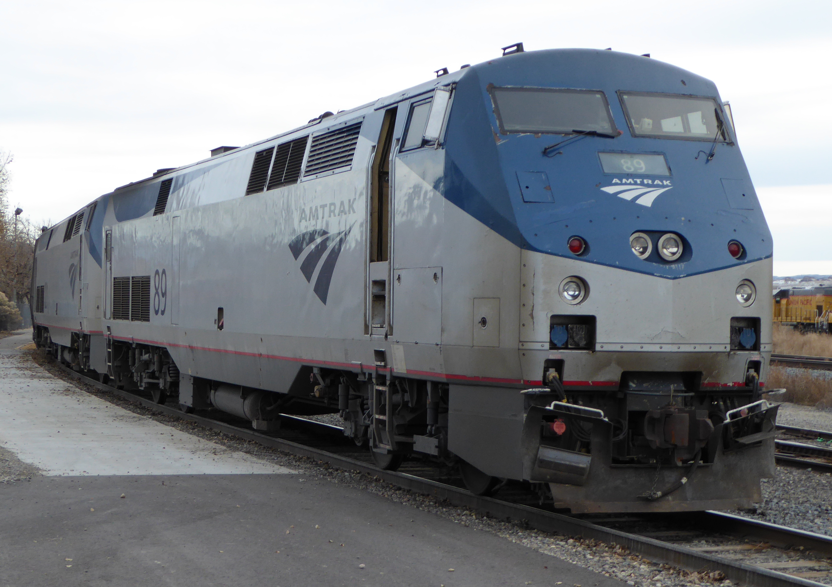
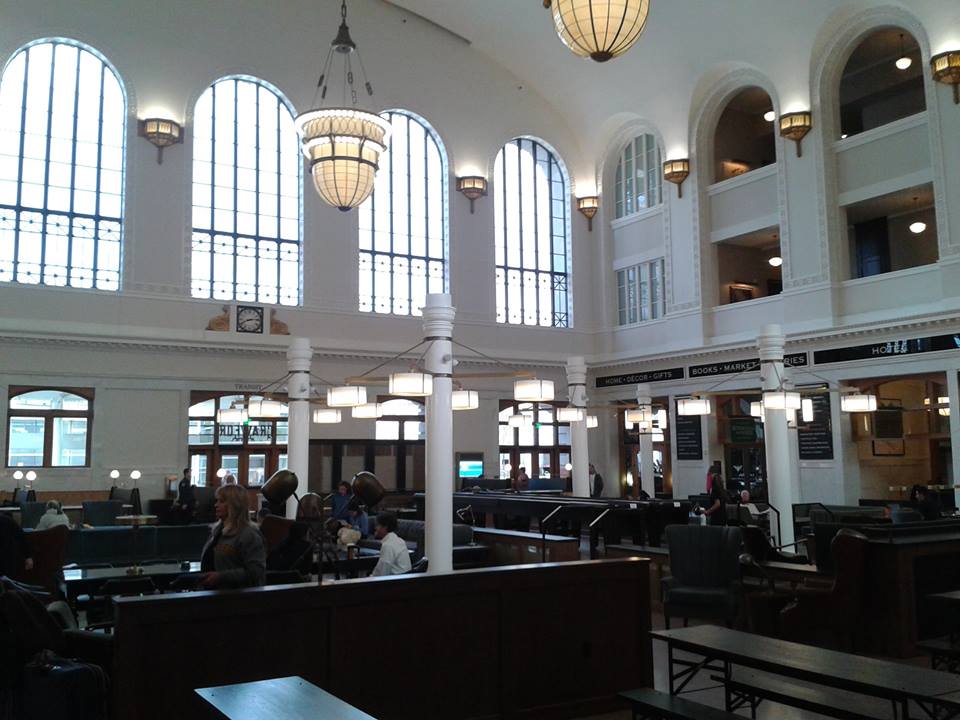
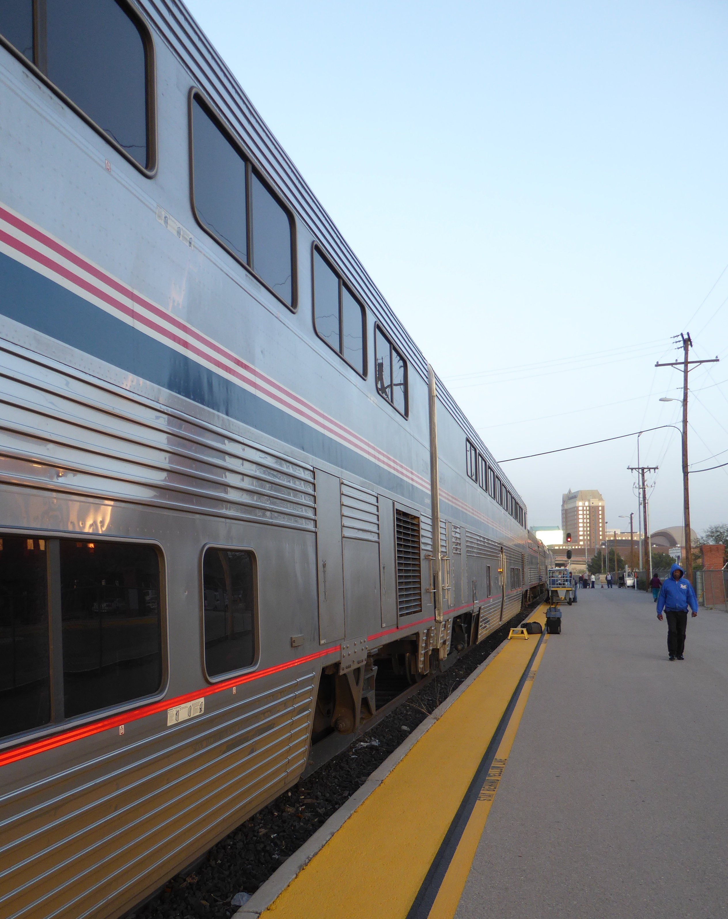
The morning of Wednesday, December 9th we headed to Denver’s remodeled Union Station to board the westbound “California Zephyr” train, midway in its journey from Chicago to Emeryville California.
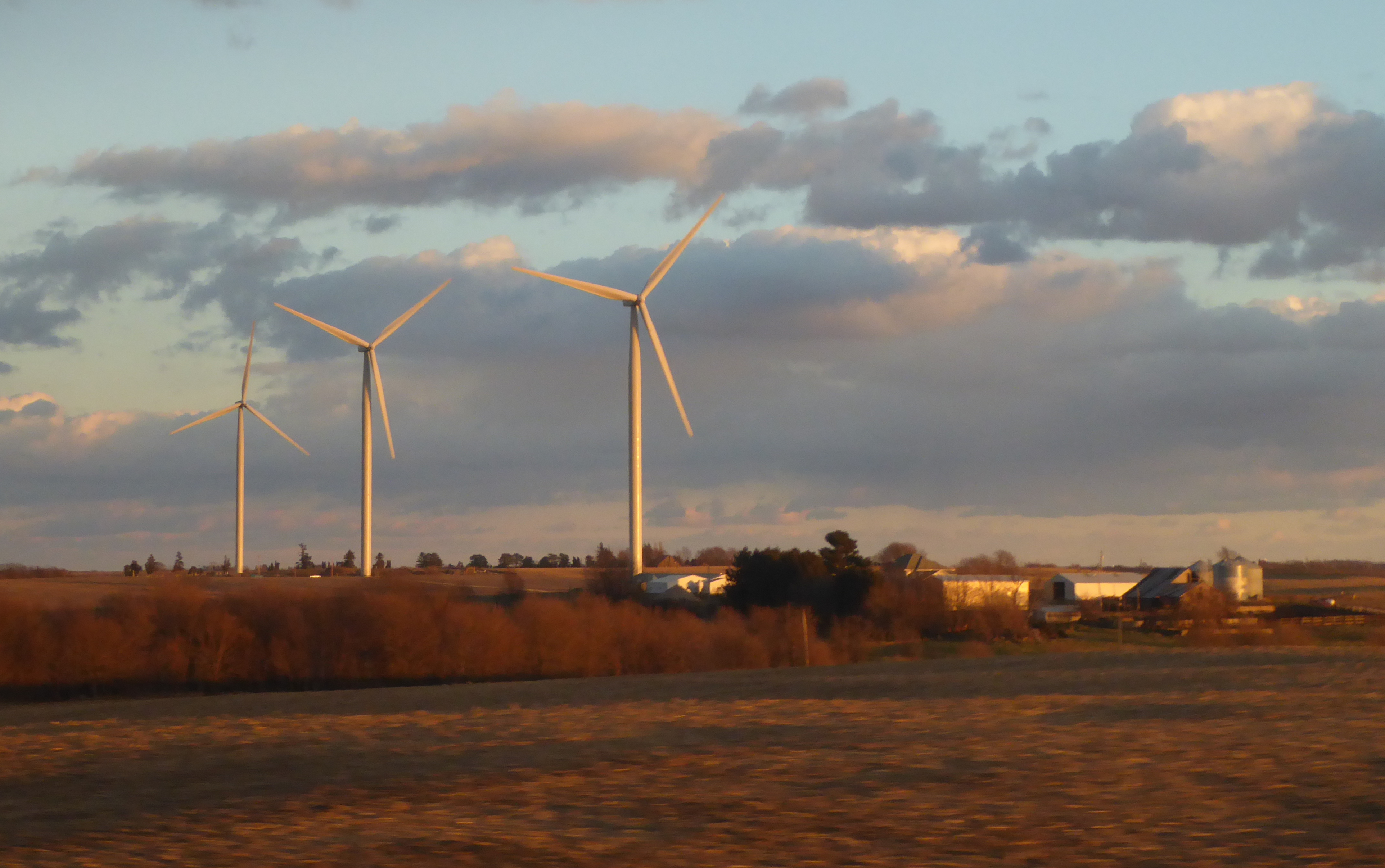
We have taken the Zephyr from Denver to California several times. In my opinion it is the most scenic of Amtraks remaining long distance routes.
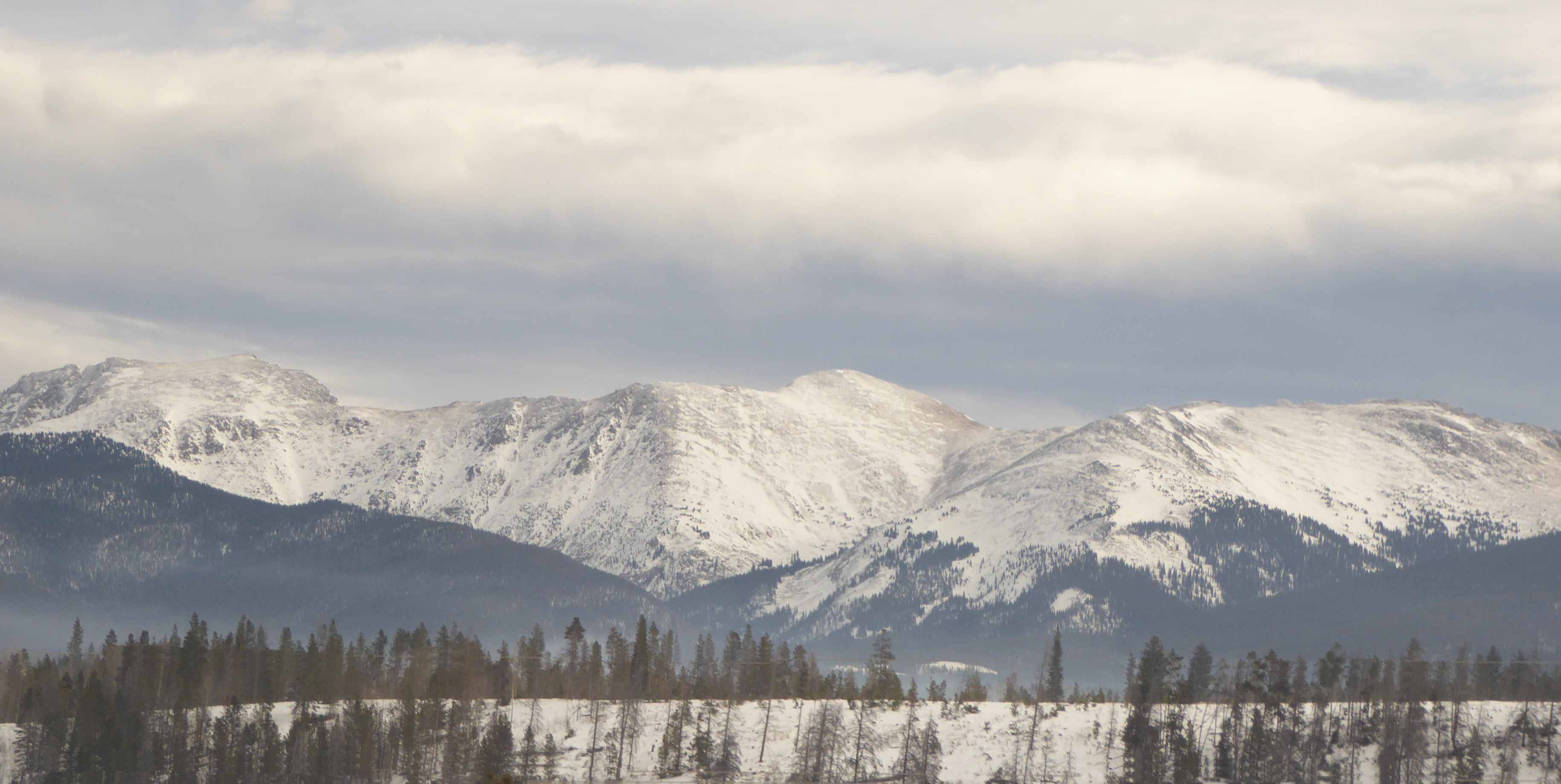
After leaving Denver, it slowly works its way up the foothills, passing within sight of Eldorado Canyon, where we took Kaden hiking a few months ago. We began to see snow as we approached the 10 km (6.2 miles) Moffat tunnel which runs under the Continental Divide.  Once we passed through the west end of the tunnel, nearing Winter Park, more snow was present.
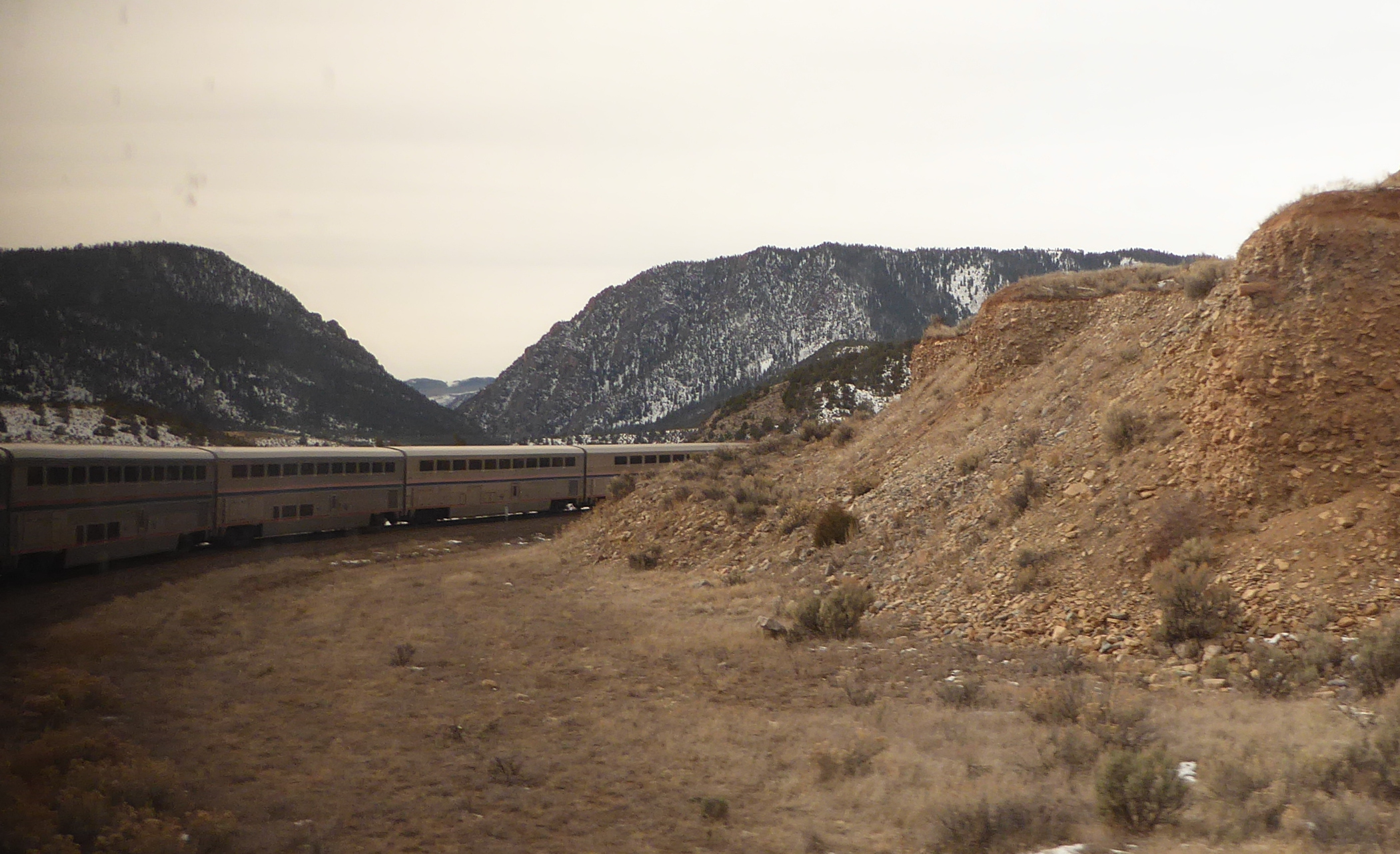
After the town of Granby, the train begins to curve along, following the Colorado River.
The rail line passes through a number of lovely canyons.
(A note to my friends in Spain and China- This is the same river that flows through the incredible “Grand Canyon”. But that natural wonder almost 1,000 km downstream, in the state of Arizona.)
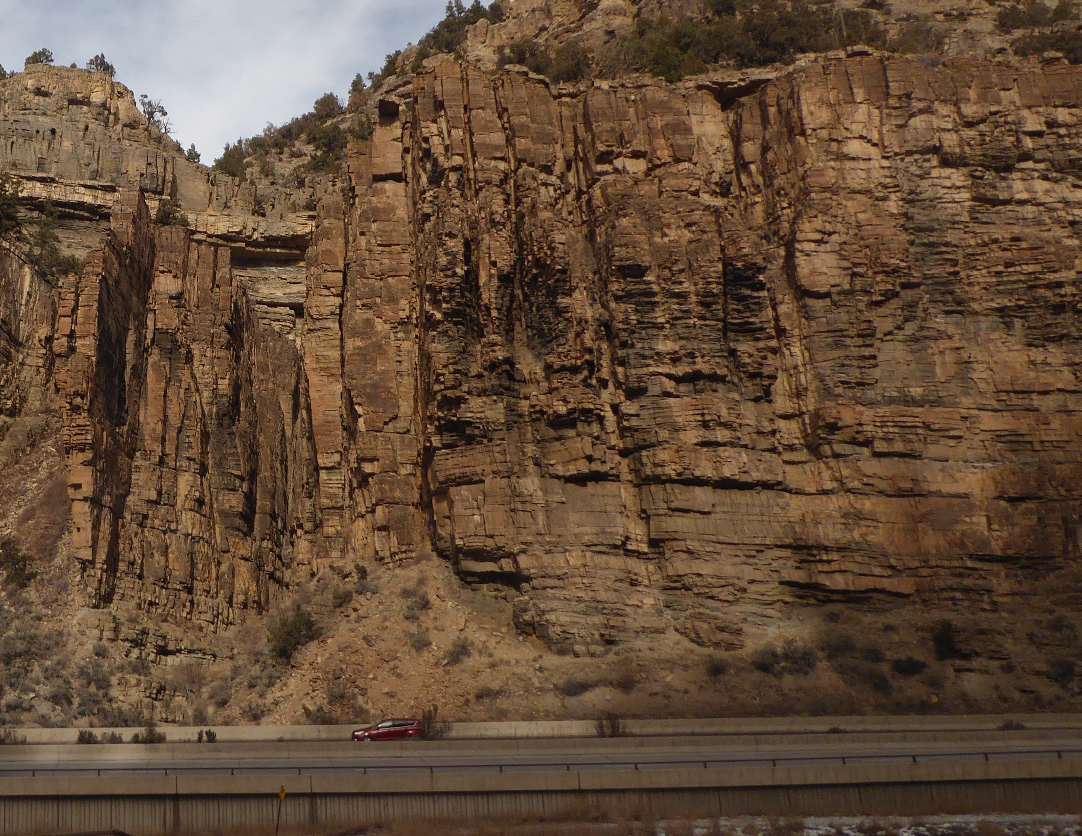
One 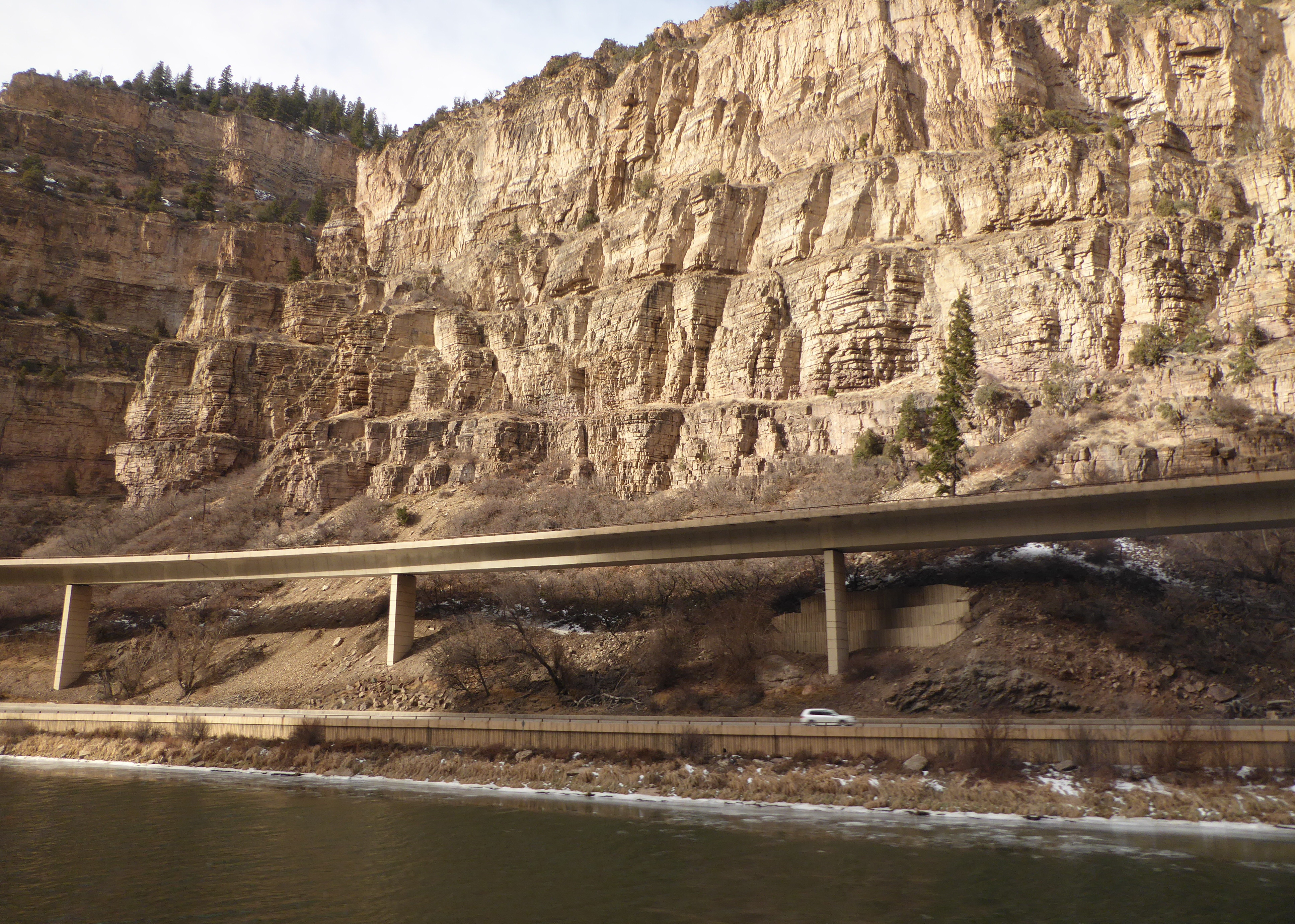 of the most picturesque rail stretches in Colorado is where the Zephyr passes through Glenwood Canyon. As it hugs the canyon wall, it provides a nice view of a section of Interstate
 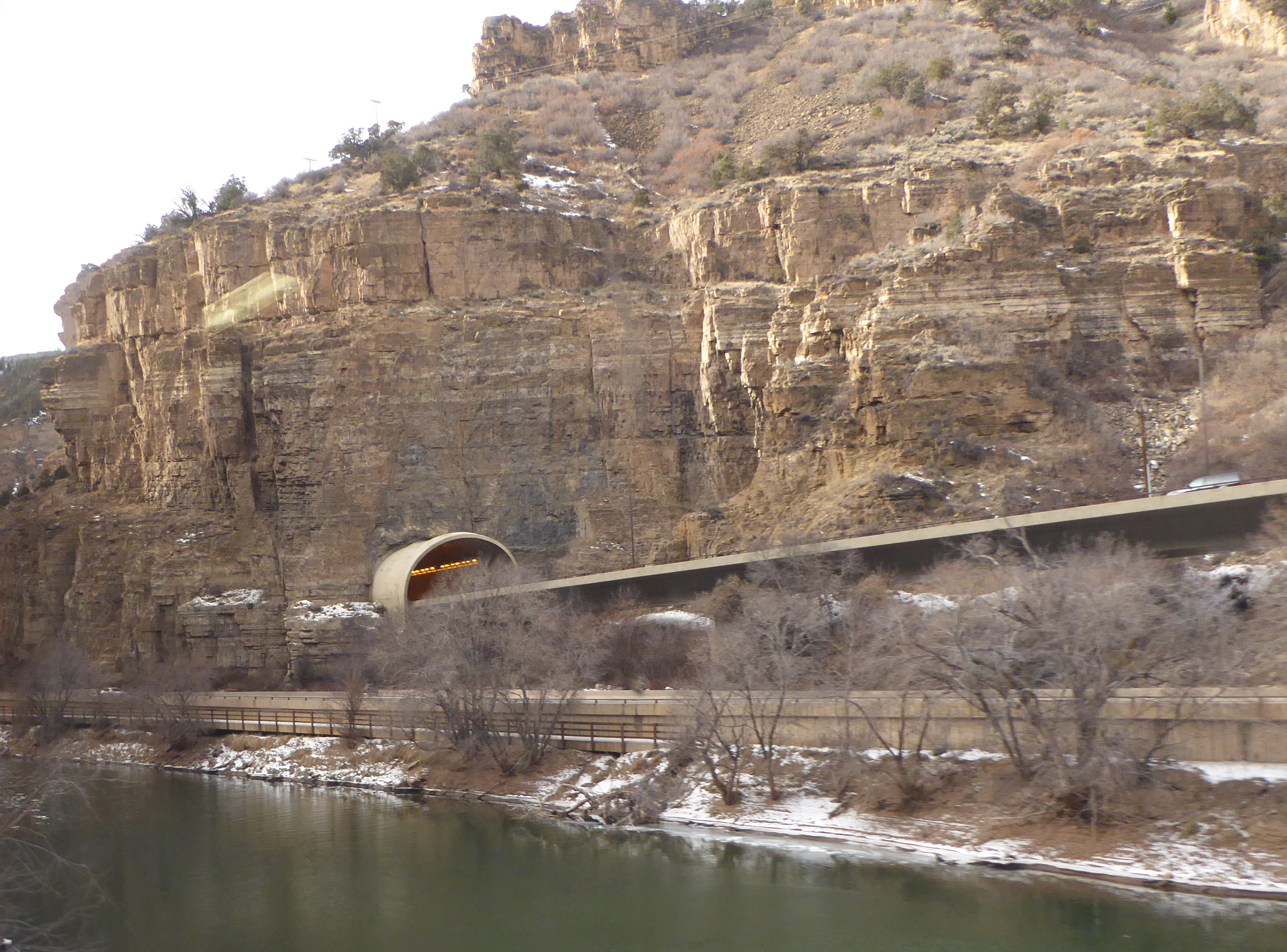 70 known as the “crown jewel of the Interstate system”. (I gave a talk about this project to a group of engineering students at Xi’an Jiaotong University in July. A 2004 ar
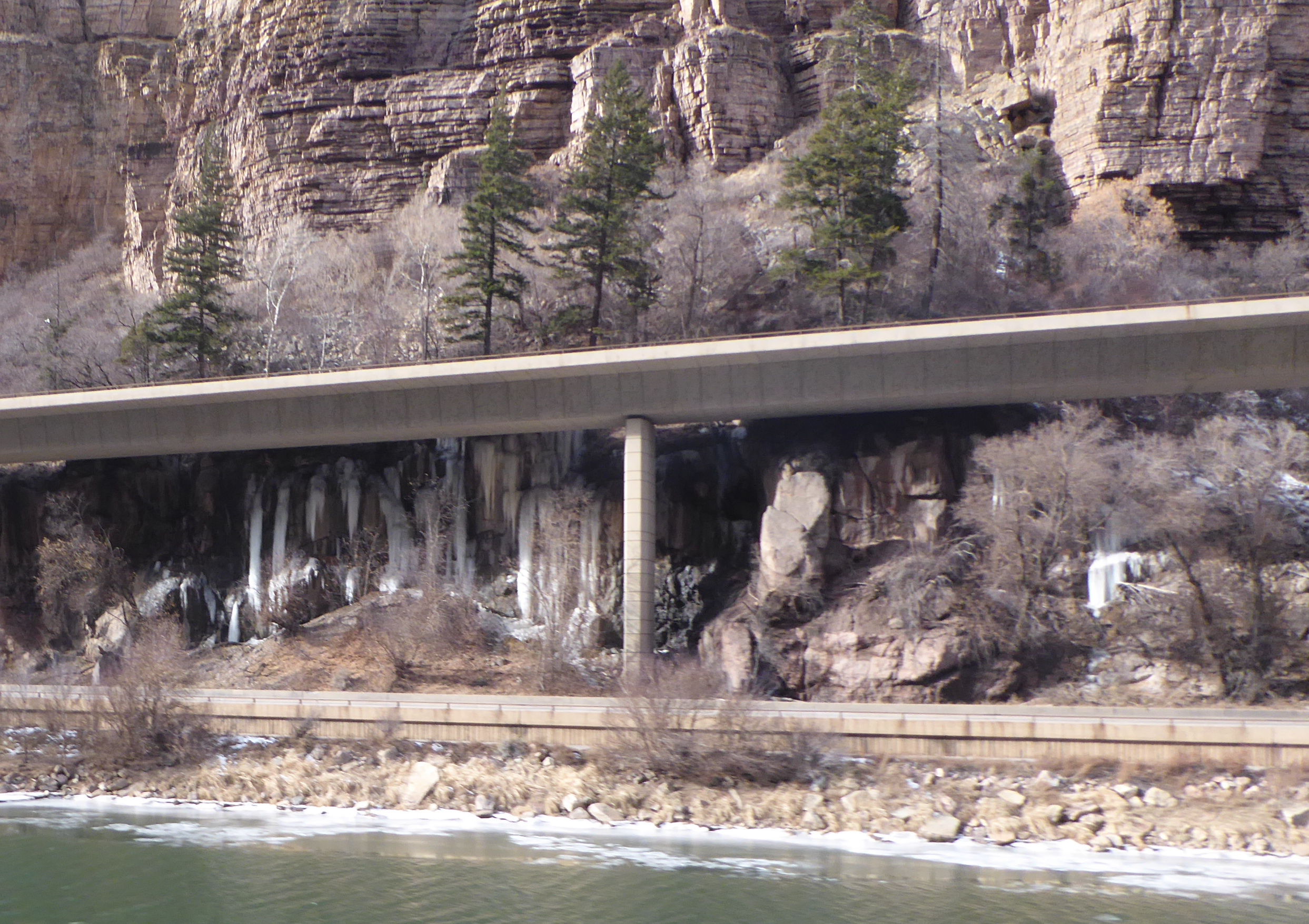 ticle that outlines the importance of the project was pubished in “Public Roads” and can be viewed online by following this link: Glenwood Canyon Highway
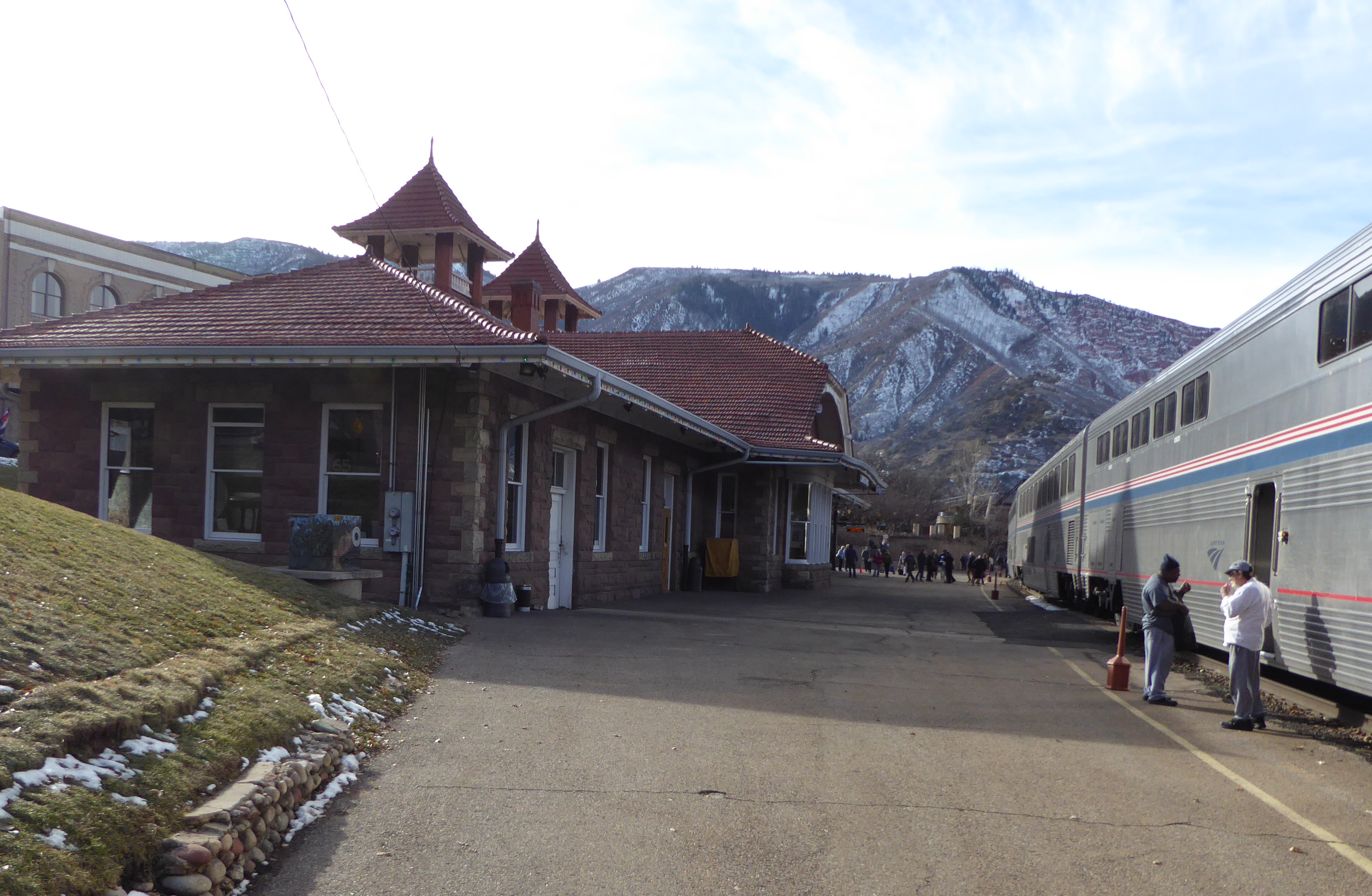 After passing through Glenwood Canyon we reached the station at Glenwood Springs, home of the famous themal pool.
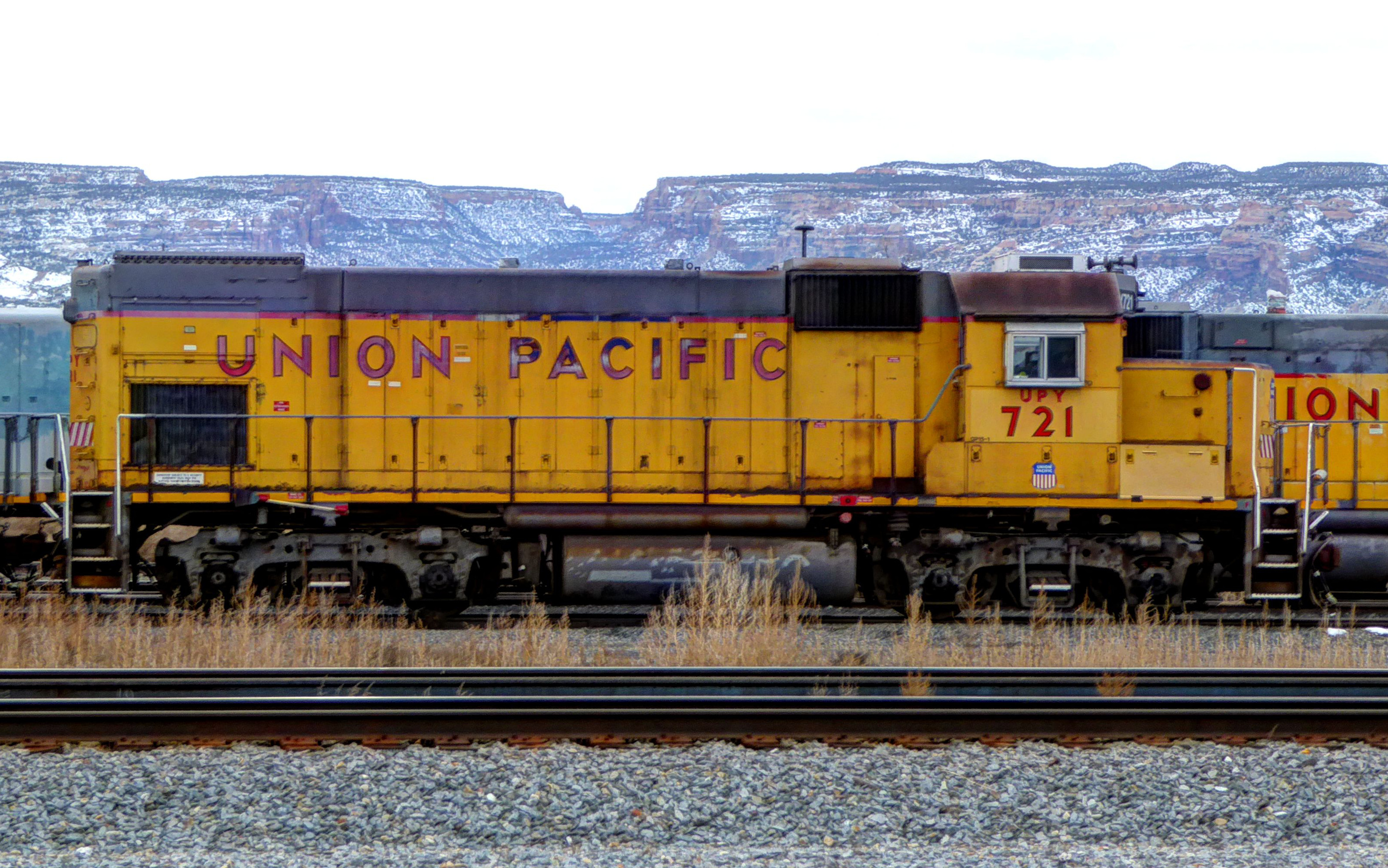
Evening followed afternoon, and it was close to dark by the time we went through Ruby Canyon near the Colorado-Utah border. The rock formations there were fascinating. One day we will have to go back and explore that area more.
The train passes through Salt Lake City in the night, and Winnemucca, Nevada before dawn. The latter tow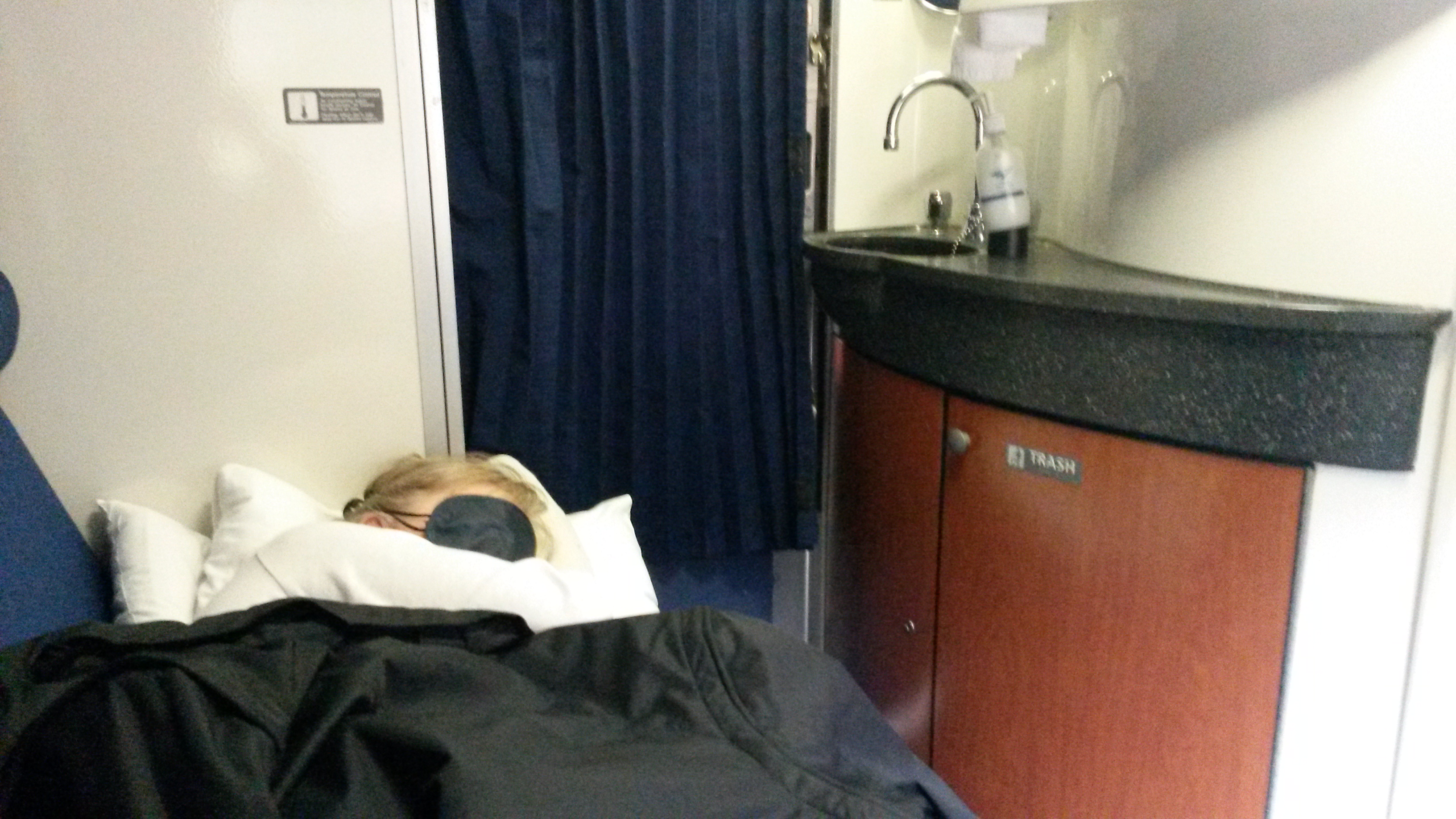 n was important for its role during the construction of the intercontinental railway. Chinese immigrants who had worked on that project had their own section of town, and were visited by Dr. Sun Yat-Sen in 1911 as he toured the United States raising support for the overthrow of the Chinese imperial system.
The train was passing though mile after mile of Nevada’s barren desolation when we awoke and headed to the dining car for breakfast.
Arrival at the station in the gambling city of Reno is an indicator that soon we will leave Nevada behind and enter California. Here volunteers from the railroad museum in Sacramento board the train and provide historical narration in the sightseeing car attached next to the dining car.
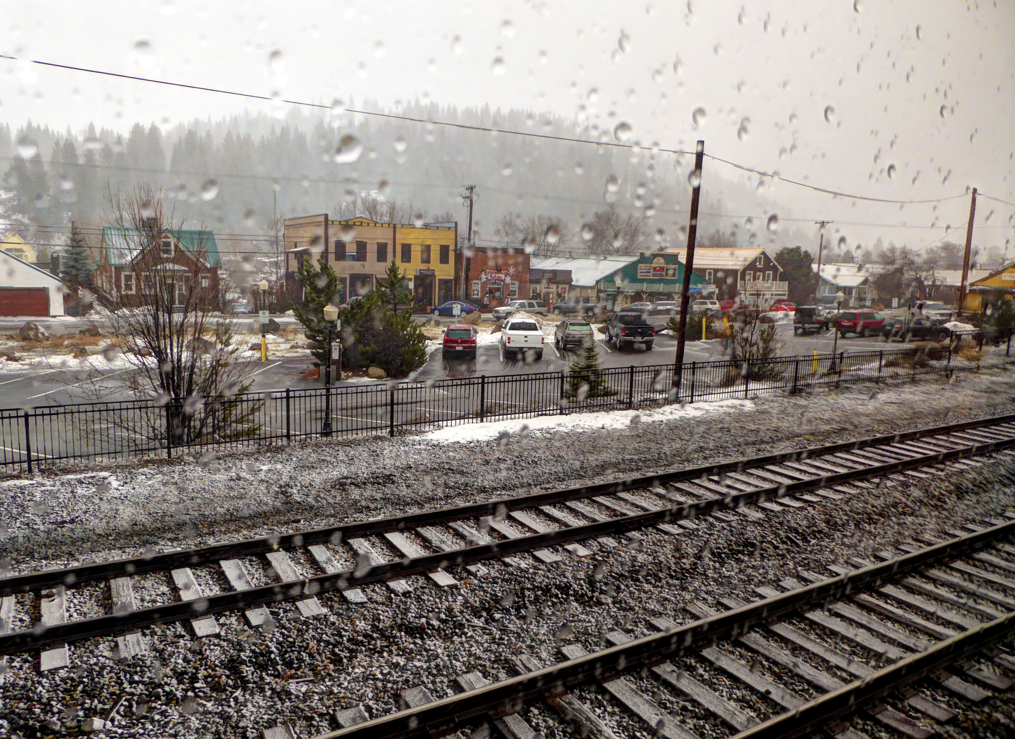 The train begins to follow the Truckee River upstream and we enter the forests of the Sierra Nevada Mountains. It is raining as we pass through the little town of Truckee. The old sawmill kiln that was always a landmark for me is now nothing more than a collapsed relic covered with graffiti.
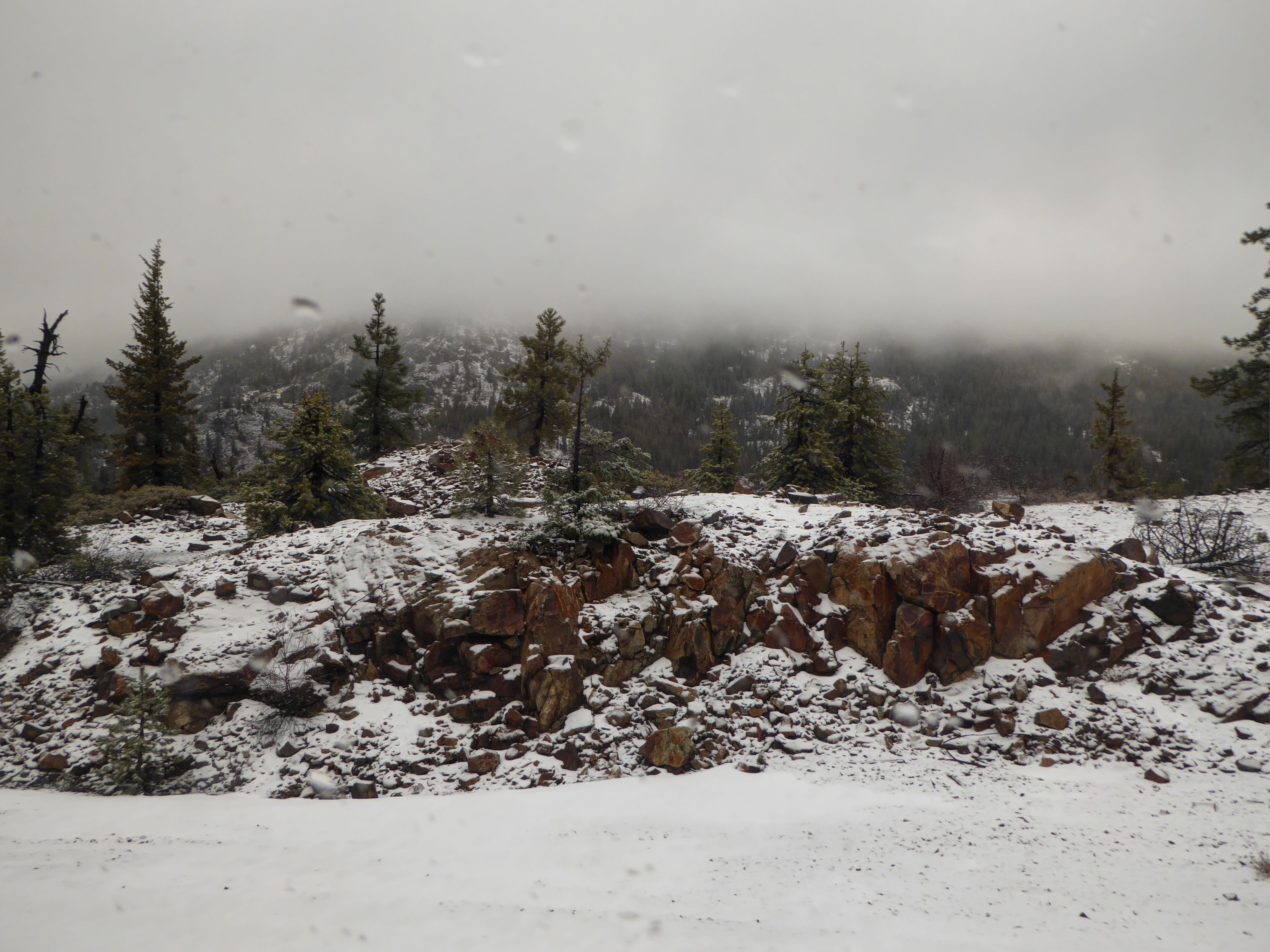
We begin the climb up to Donner Pass. This is rugged country. Before the railroad, settlers had to laboriously travel by horse and wagon to reach the eastern side of the mountains. In places they even had to disassemble wagons and lower them piece by piece down steep ravines.
 In the winter of 1846-7 the “Donner Party” of 81 emigrants were stopped by bad weather and camped on the east side of the mountains, waiting for springtime. Of the group only 45 survived, some resorting to cannibalism.
Having crossed Donner Pass the train begins its descent toward Sacramento passing through heavily forested hills above the American River.
San Francisco
Sacramento, Davis, Martinez, and then Richmond pass by. Finally we reach Emeryville, the end of the line. We boarded an uncomfortable and overcrowded bus provided by Amtrak. There was no place for luggage, and everyone squeezed on with suitcases on seats or in laps. The bus took us through heavy traffic across the bay into San Francisco where it dropped us off at Fisherman’s Wharf. We walked to our hotel which quite appropriately was called “The Zephyr”.
It was dark by the time we stowed our bags, and there was a light drizzle. We meandered to Pier 39. Ignoring all the shops selling cheap and expensive trinkets, we sat down and ate fish and chips. Seagulls kept sneaking through the door and we had to chase them off our table.
 For dessert we went to a Johnny Rocket restaurant that, unlike the one in Denver, was configured like a classic diner. A milkshake for Rhonda and chocolate malt for me!
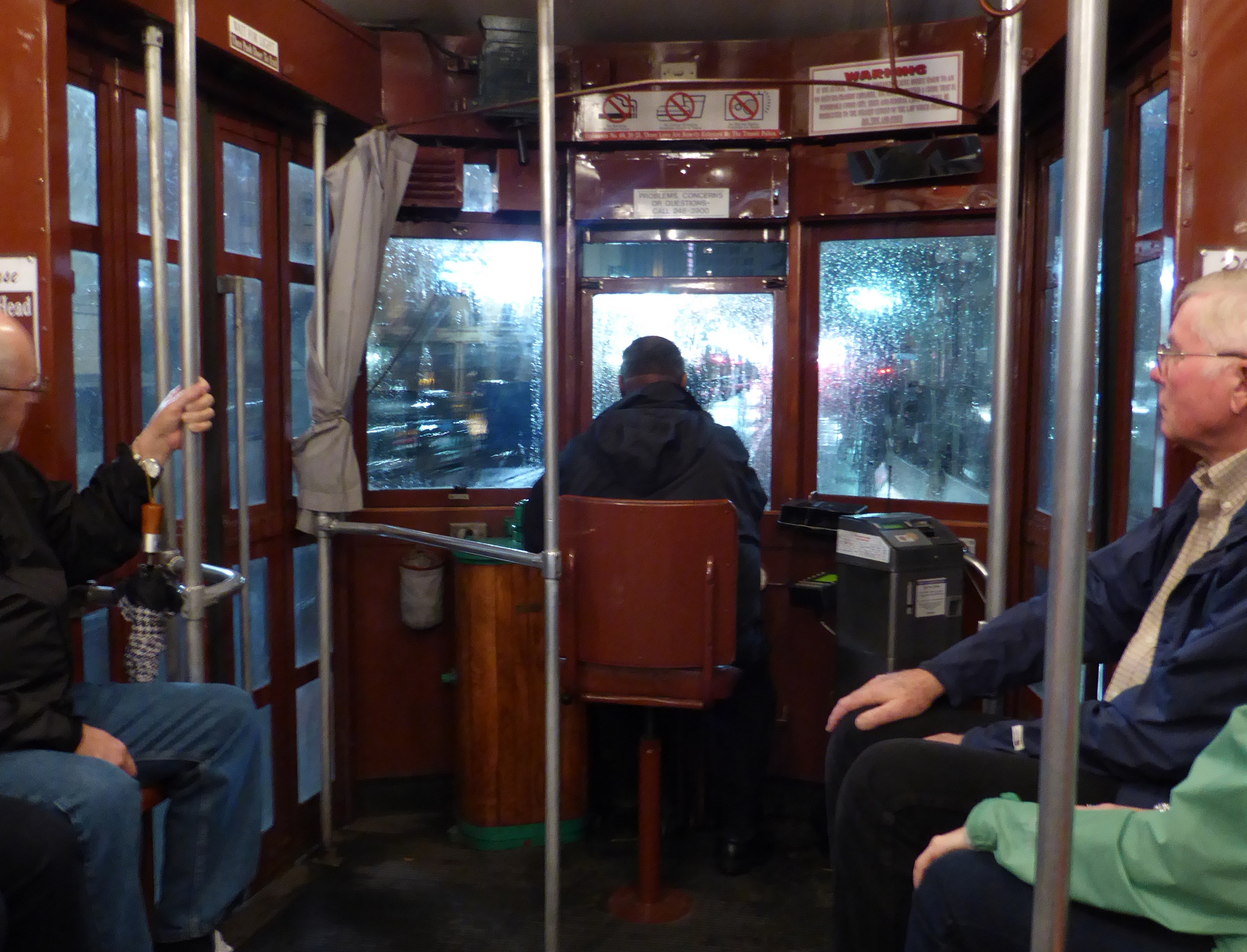
It began to rain harder, and we ducked into a store to buy cheap umbrellas. Like a couple of crazy youngsters we dodged raindrops and made our way to the corner of Taylor and Bay streets where we hopped on a cable car.
This form of transportation has become one of the classic symbols of San Francisco and its steep hills. The concept is a bit crazy. A humming series of steel cables are constantly in motion under the street. The driver of the cable car works a series of great levers with which the hidden cable can be grabbed or released to control the car’s movement. Clutching the cables, the vehicle lumbers up and down steep inclines. Read more details about this at: How Cable Cars Work.
It was a wild and wet ride in what had become heavy rain. When we reached the end of the line at Market and Powell, we huddled under an awning until the car was ready for the return trip toward our hotel. Loads of fun!
The next morning we ate a delicious, extremely overpriced breakfast at an iHop near the hotel, and then made our way on foot toward the corner of Columbus Avenue and Broadway on a pilgrimage to City Lights Bookstore.
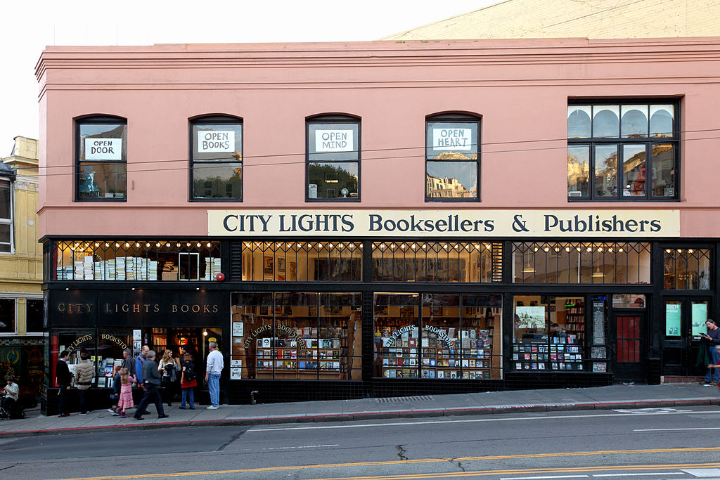
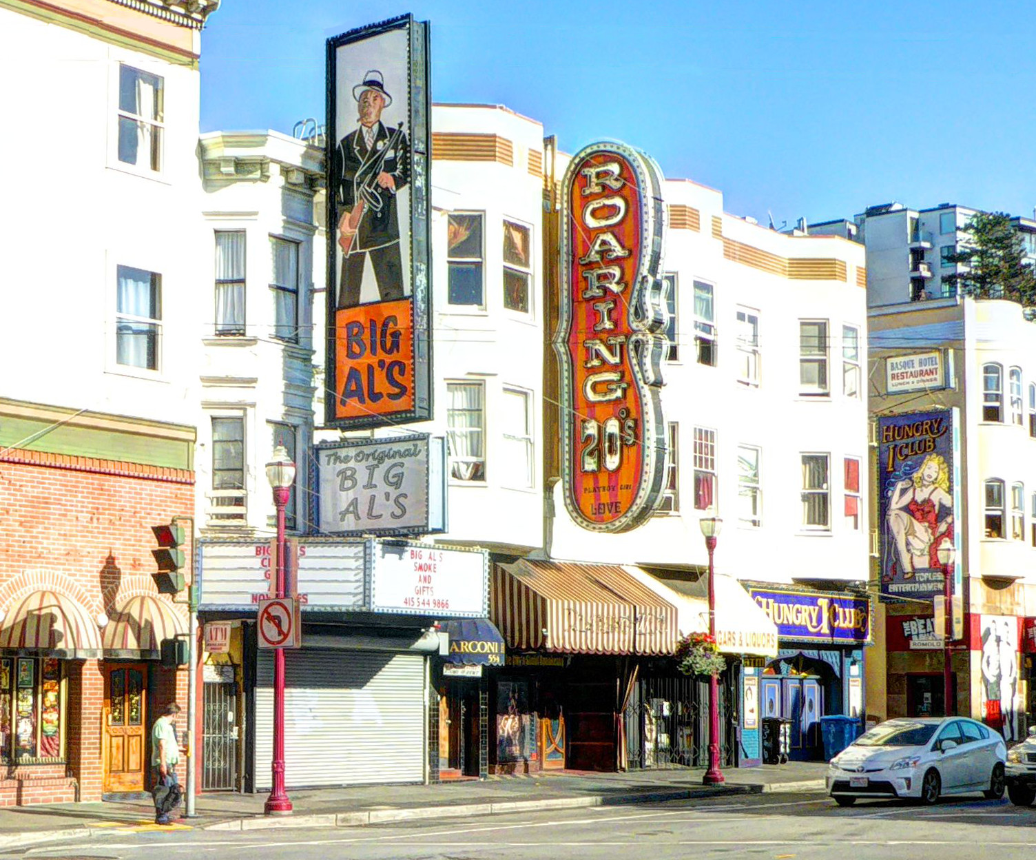
Across the street from the faded and derelict remains of the seedy side of San Francisco, City Lights is a beacon of literature and free thought. The store was founded in 1953 by the poet Lawrence Ferlinghetti and its fame includes ties to “Beat” poets and authors including (besides Ferlinghetti himself) Alan Ginsburg and Jack Kerouac.
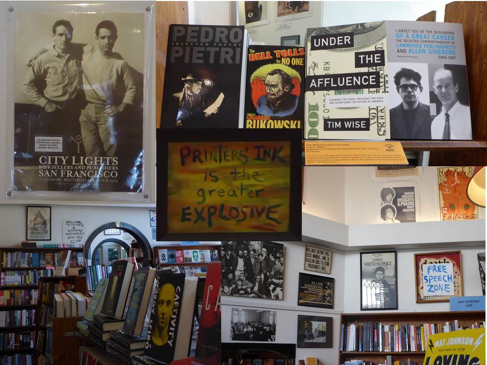
We spent a few hours browsing the stacks considering the depth of thought represented by the volumes available there. In the end we realized that we couldn’t carry it all back home with us. So I bought a copy of Patti Smith’s “Just Kids”, and we moved on.
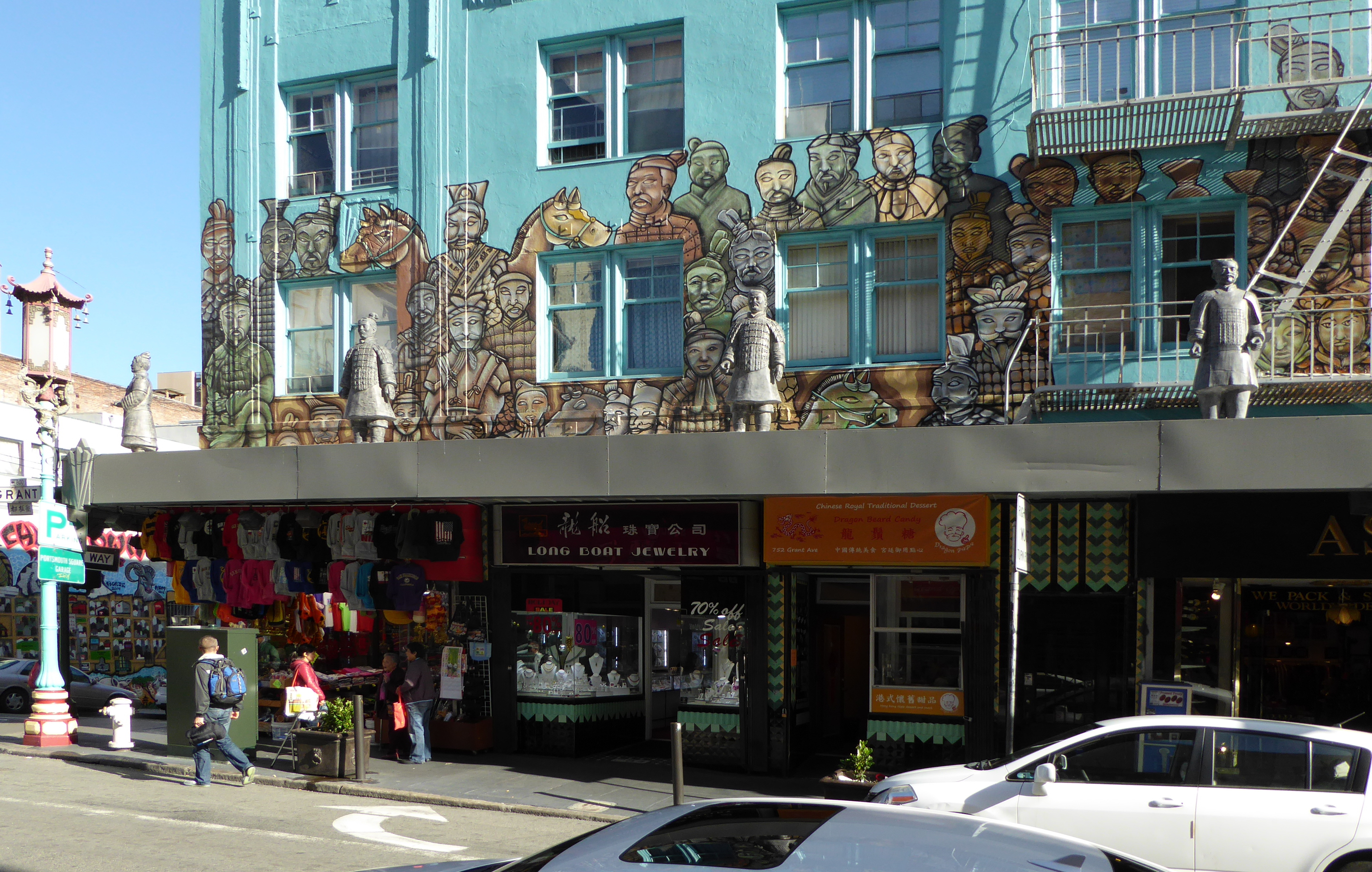
Chinatown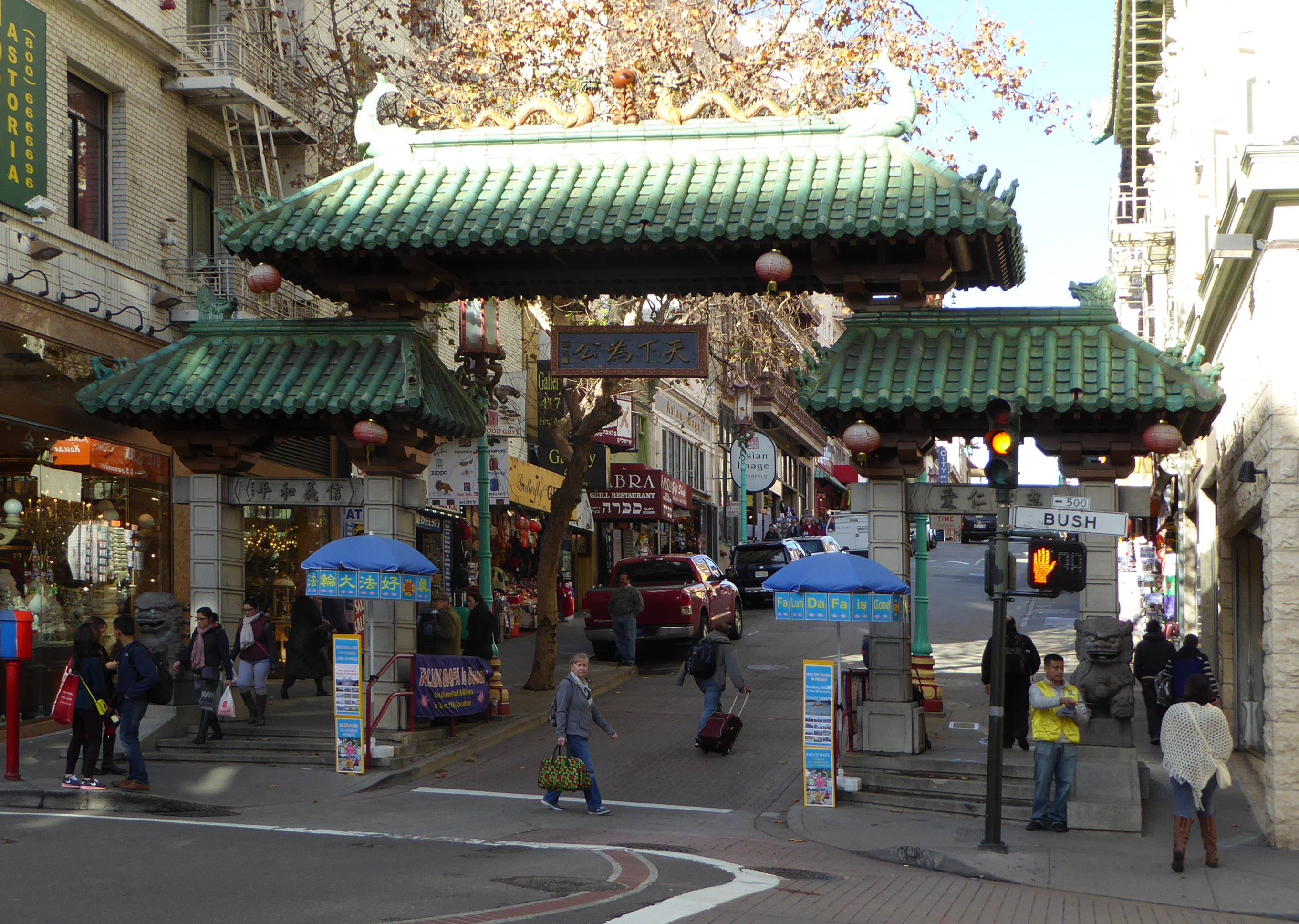
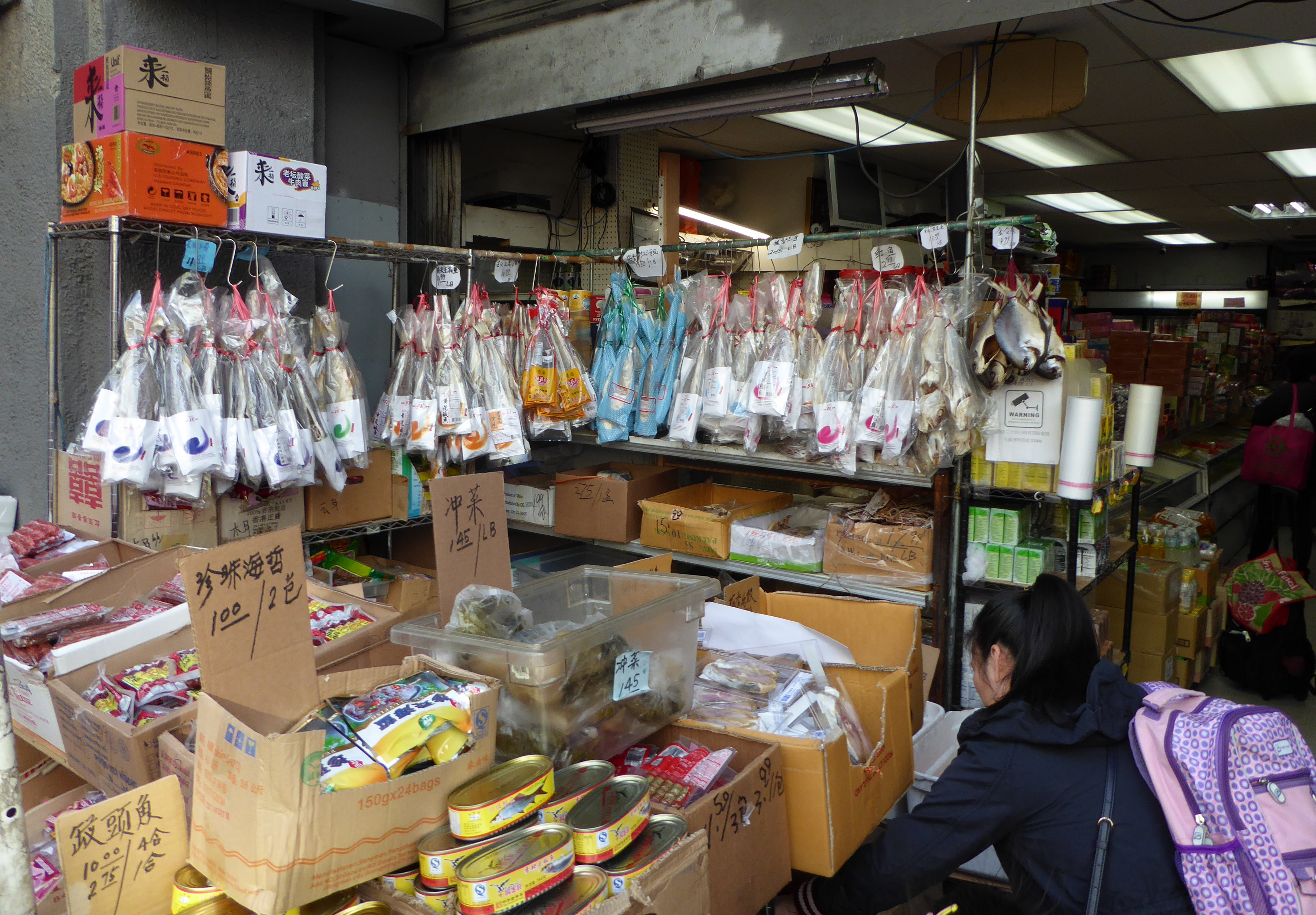
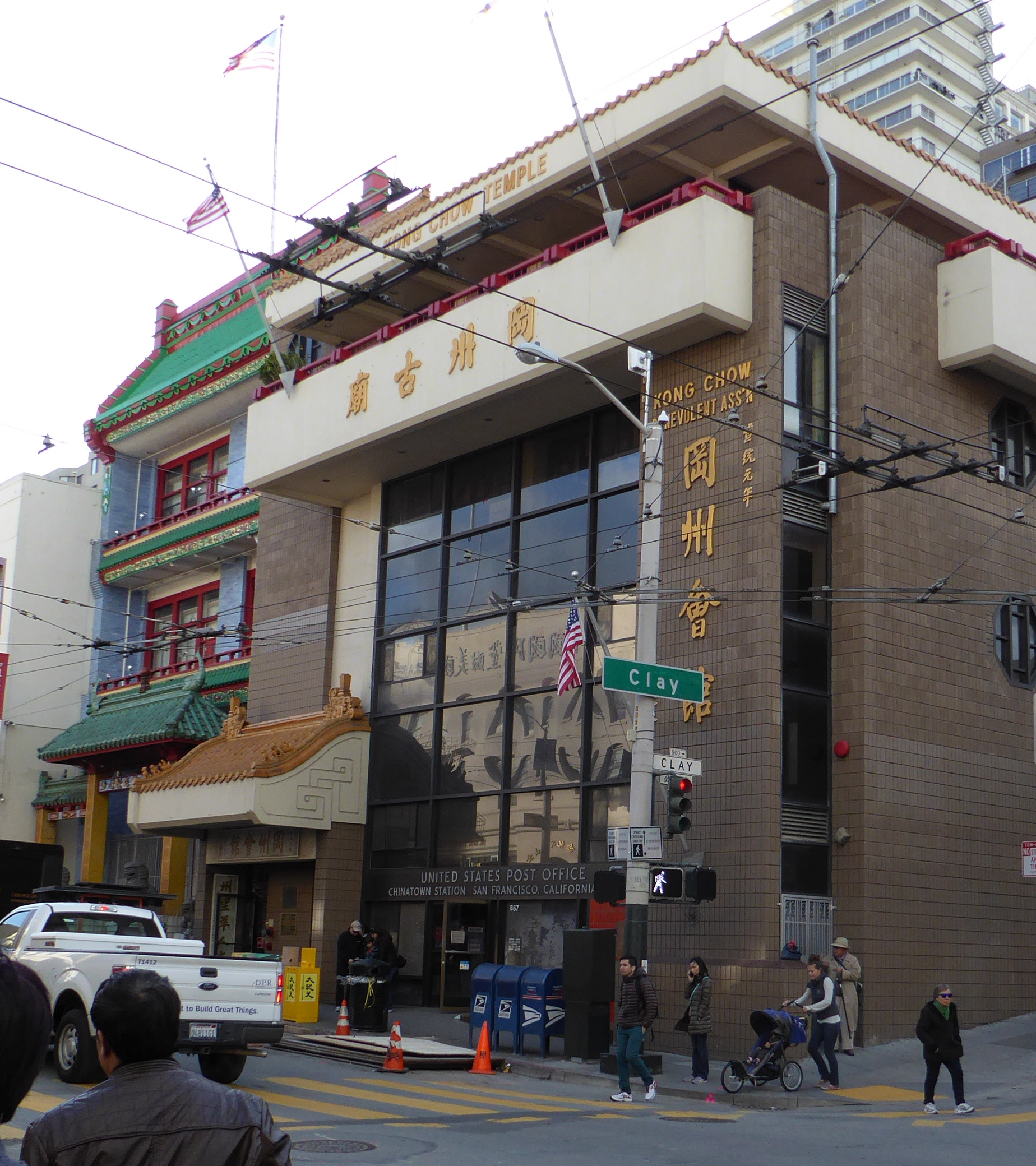
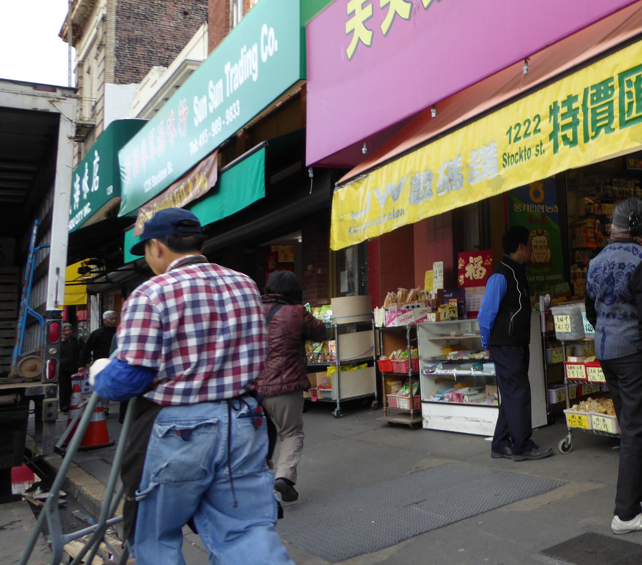
I have been a regular visitor to San Francisco since about 1978. I used to go striding around town, riding every possible form of public transportation, taking photos, and talking to people. San Francisco is a town of wonderful variation, with a neighborhood for everything. Chinatown was a favorite destination of mine. I have fond memories of a shopkeeper there teaching me how to play Chinese Chess (not that I remember now!), just because I kept asking questions. I didn’t even buy a set from him!
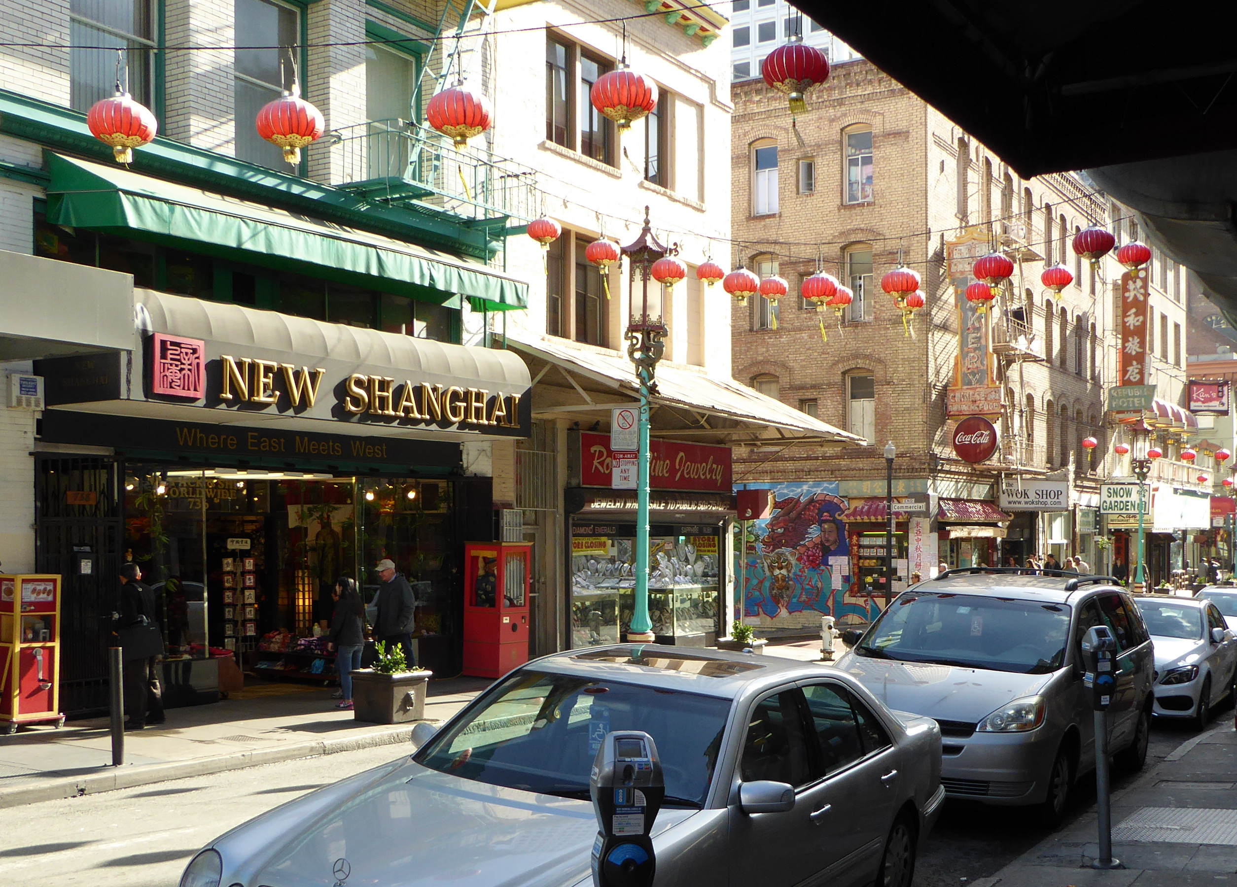
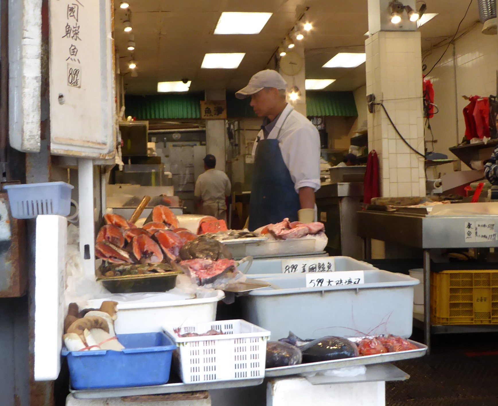
Chinatown is more than a tourist destination- it is a vibrant neighborhood / community. 33% of San Francisco’s population is Asian, and Chinatown represents its historical base. Some say Chinatown is the largest Chinese community outside Asia!
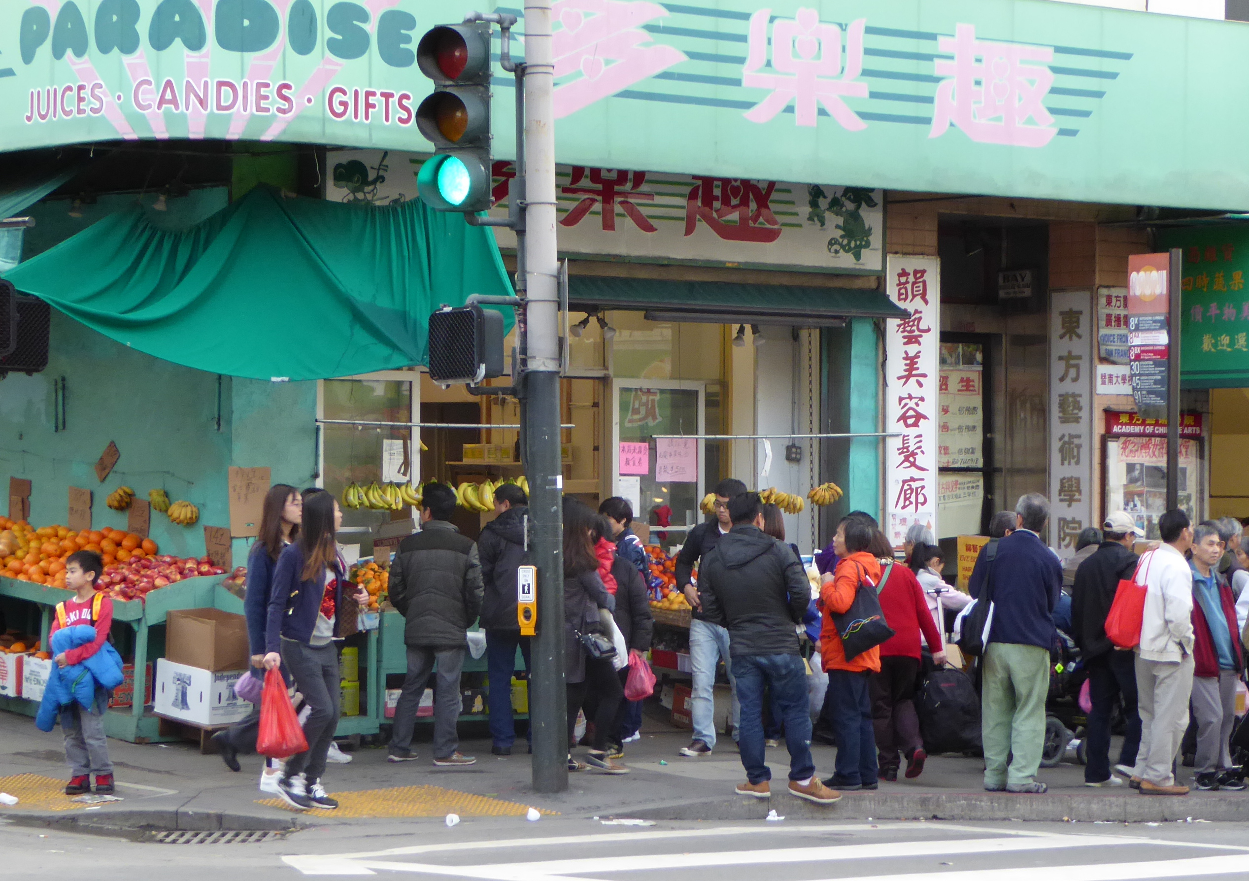
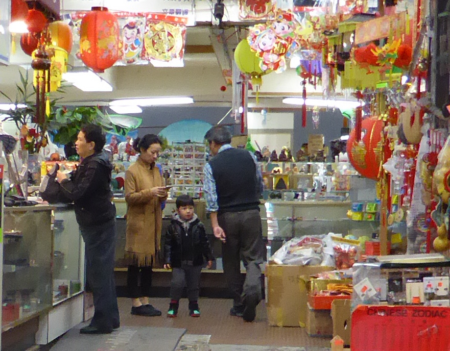
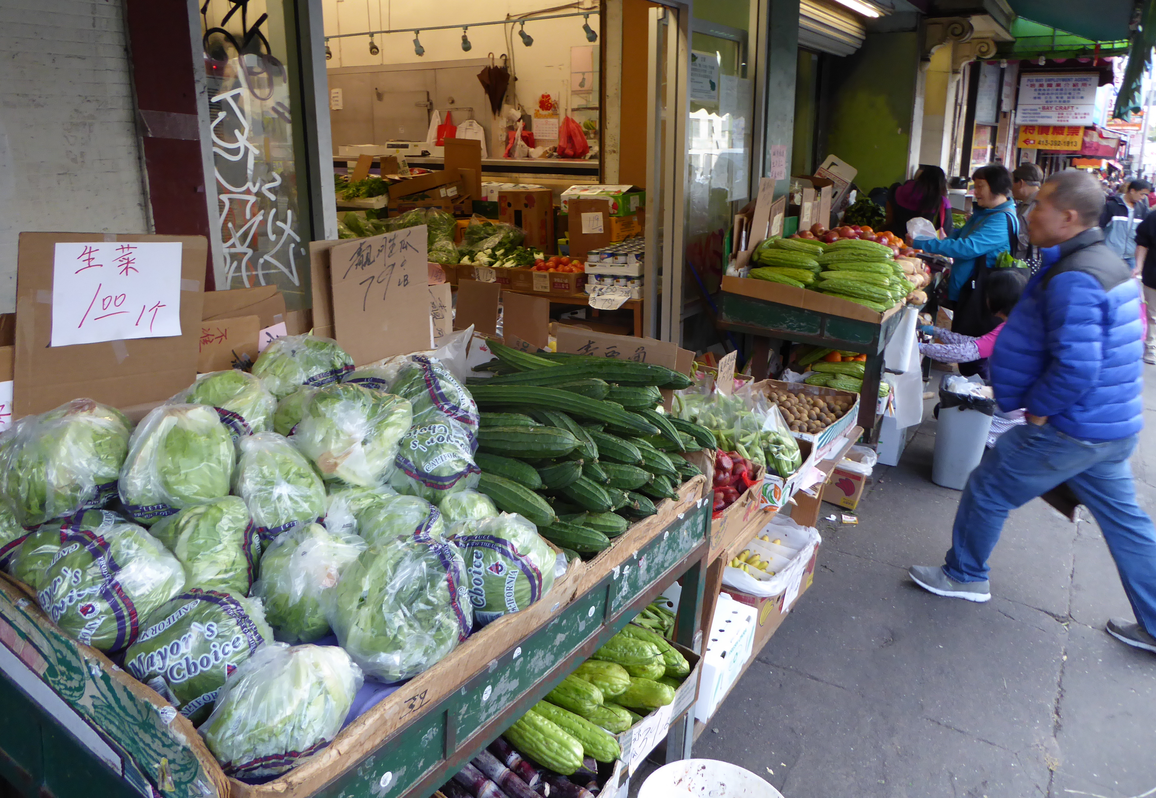
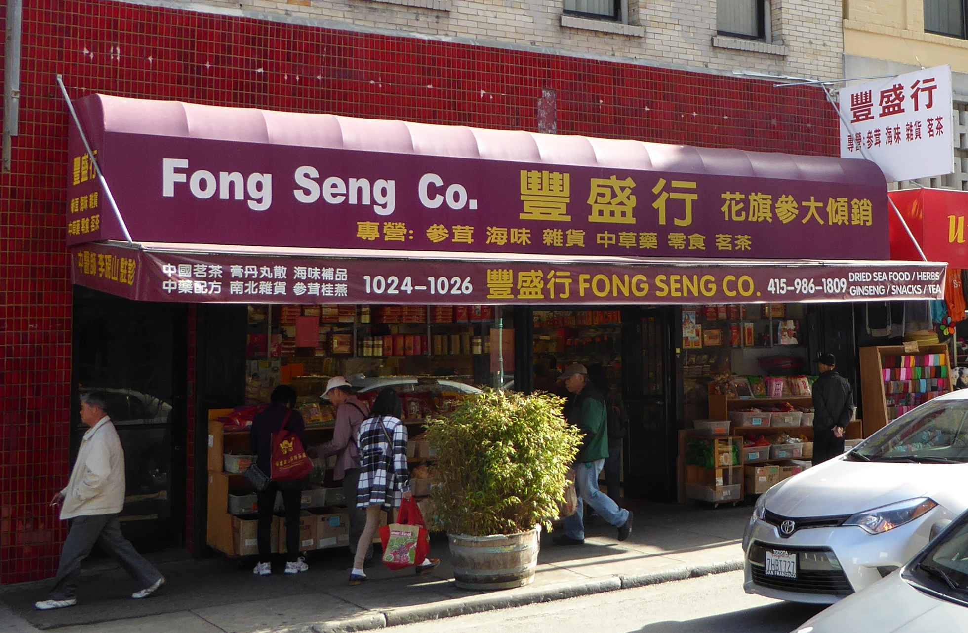
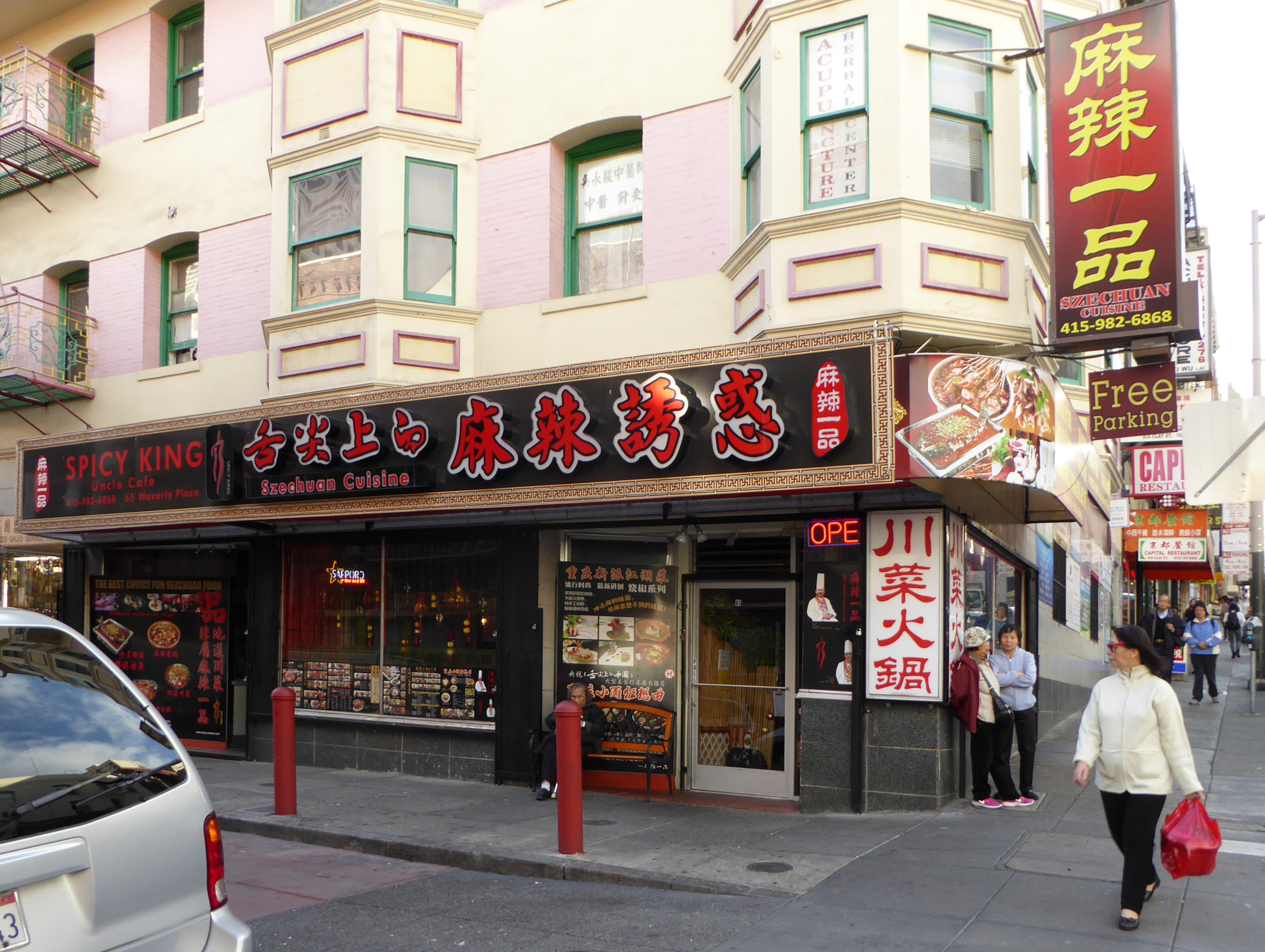
Just a bit uphill from the main (tourist) commercial street, we found this restaurant.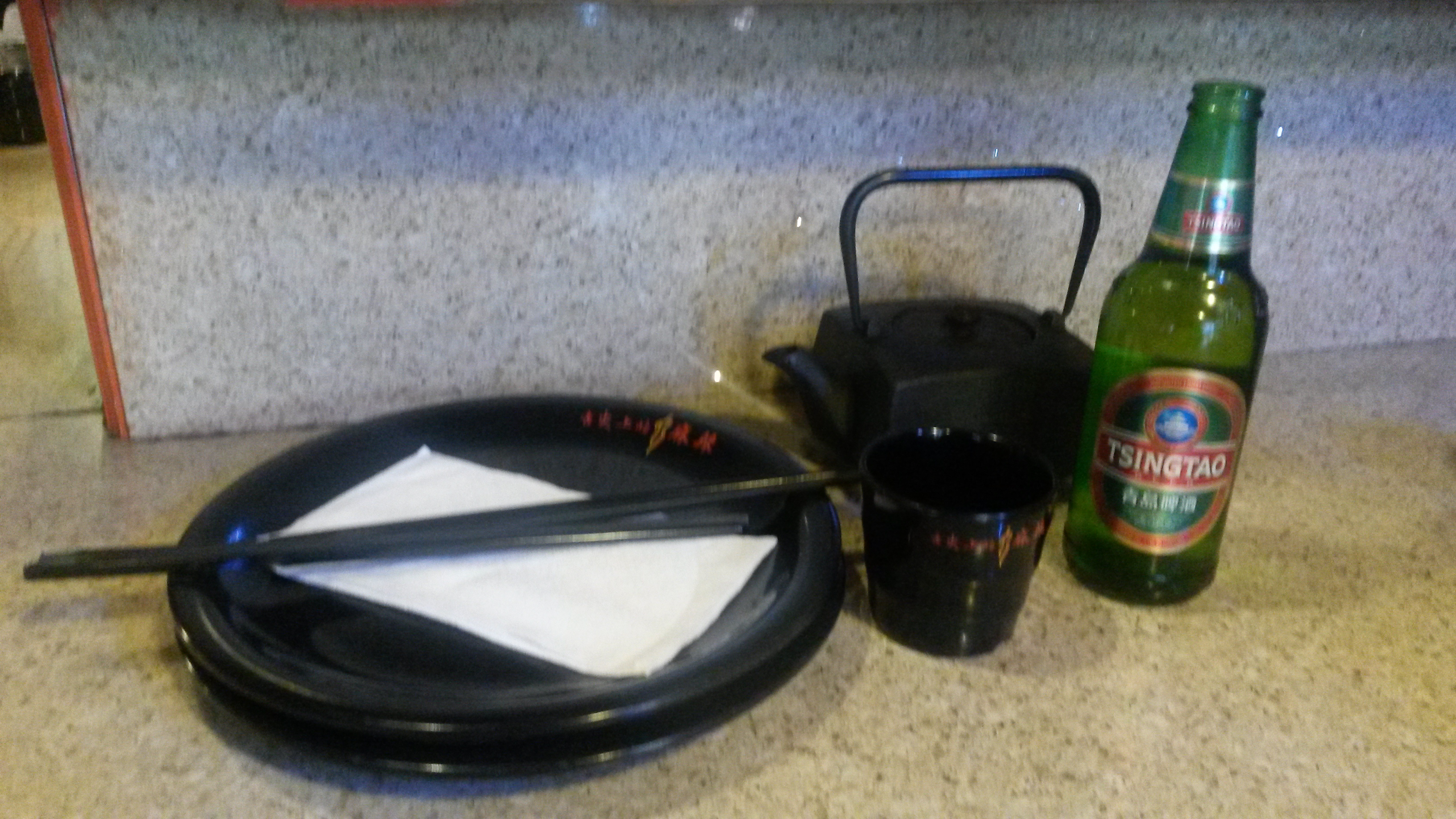
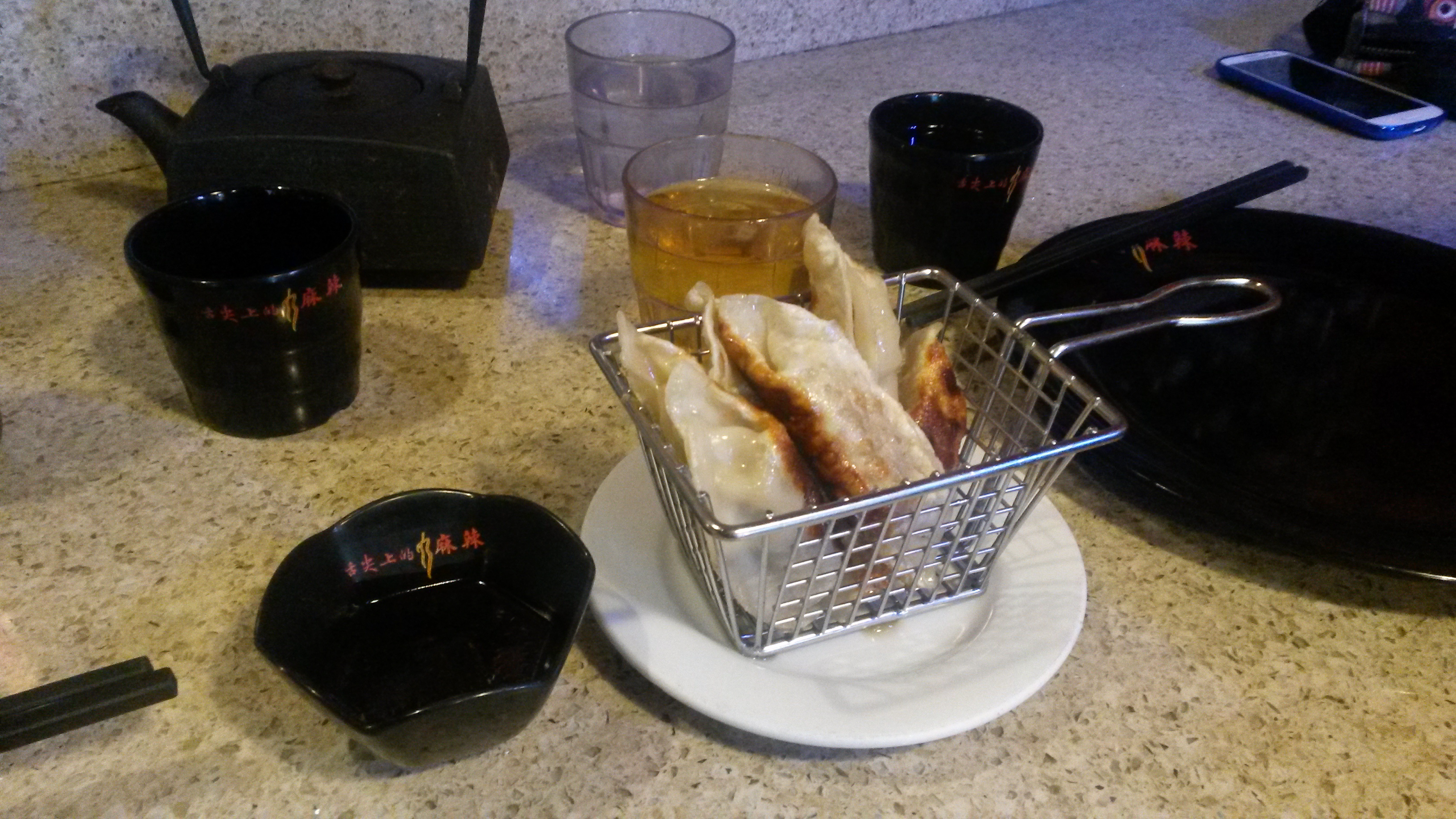
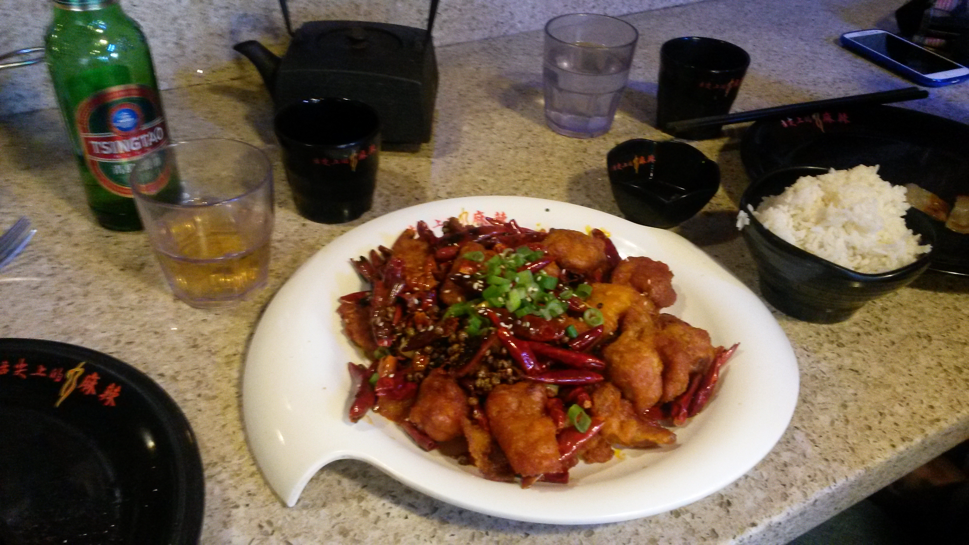
We were glad we found this place!
(Any chance they could open a sister restaurant in Denver??)
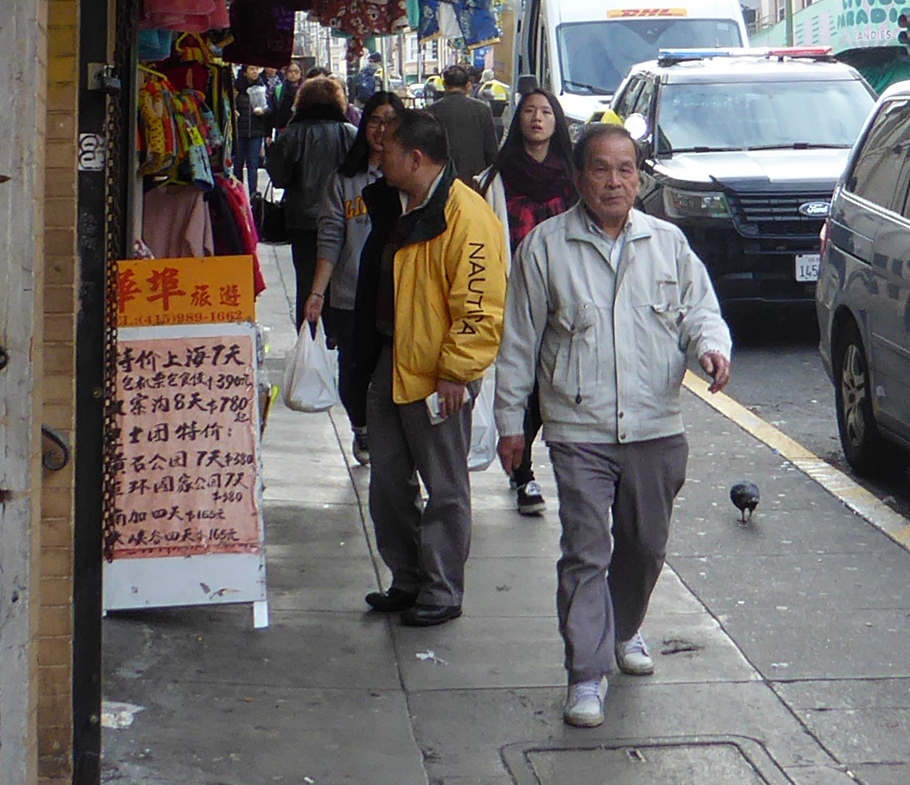
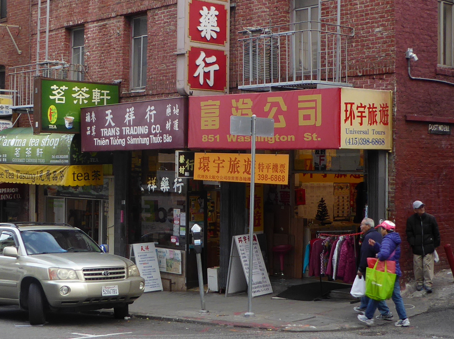
After eating we continued our explorations.

Eventually it was time to head back toward our hotel.
San Francisco is a wonderful mix of distinct communities and ethnic enclaves Leaving Chinatown we stopped for an espresso in North Beach- SF’s “Little Italy”.
The Golden Gate Bridge and Muir Woods
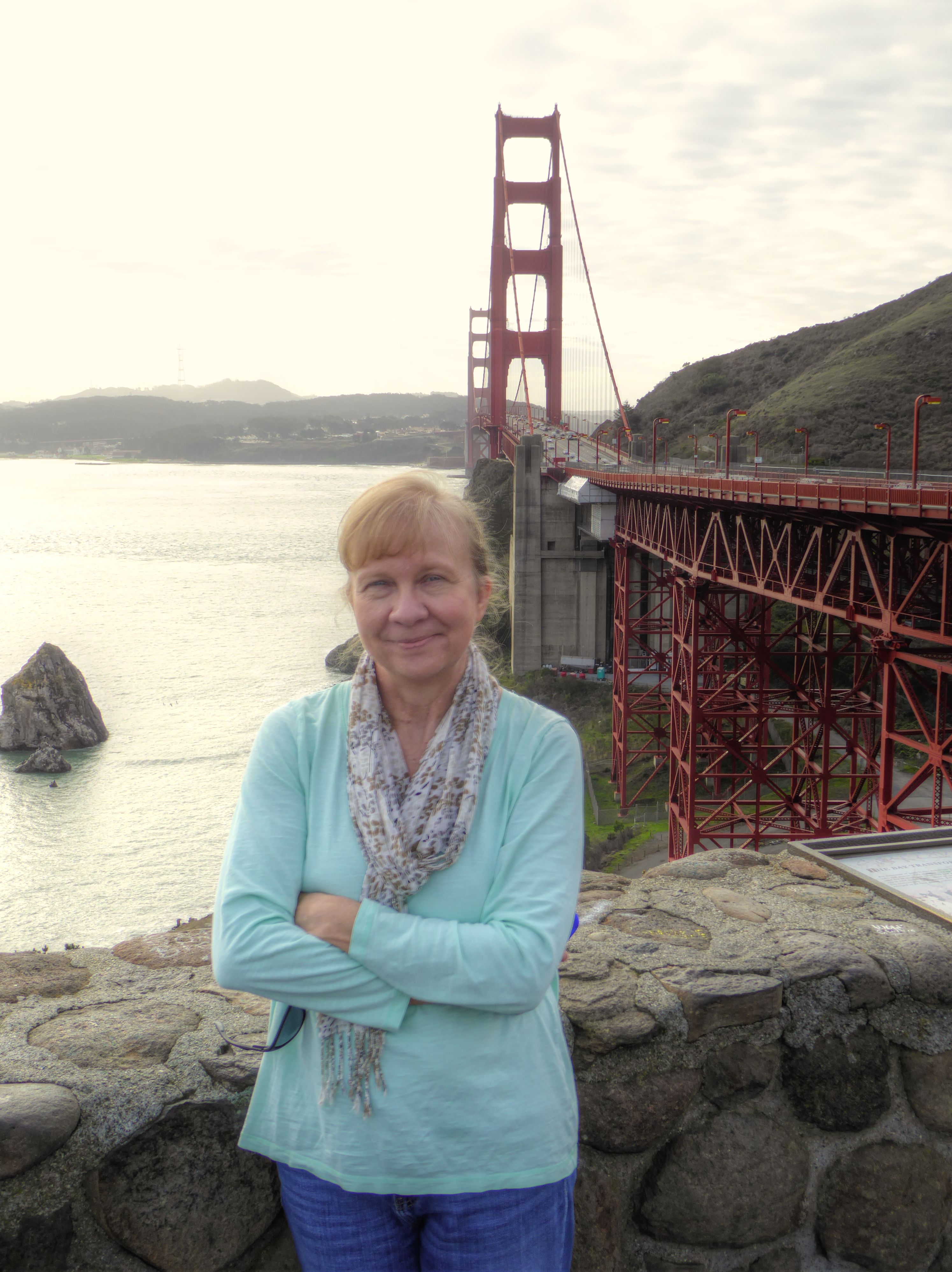 The next day we picked up a rental car and headed out of the city crossing over the Golden Gate Bridge.
Thoreau wrote “In wilderness is the preservation of the world.” Not far north of the bridge, we arrived at Muir Woods National Monument. This magical area of old-growth redwood forest was named for a pioneer of the movement for environmental preservation.
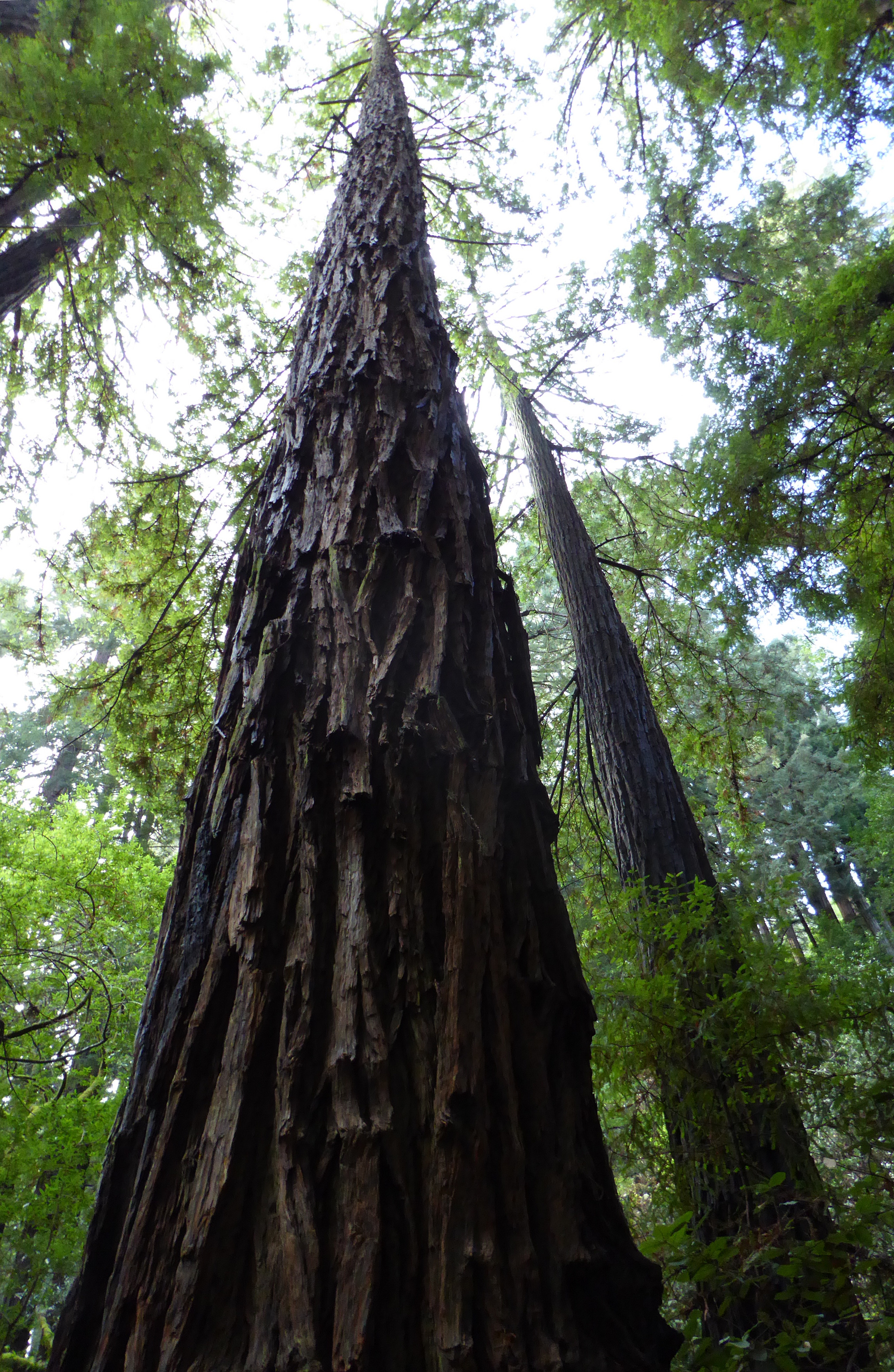 Redwoods are the tallest and largest trees in the world, some individual trees have been measured to be over 100 meters tall! Nothing gets that big overnight, and most of the redwoods in Muir Woods are said to be 500 to 800 years old, though some are thought to be over 1,000 years old.
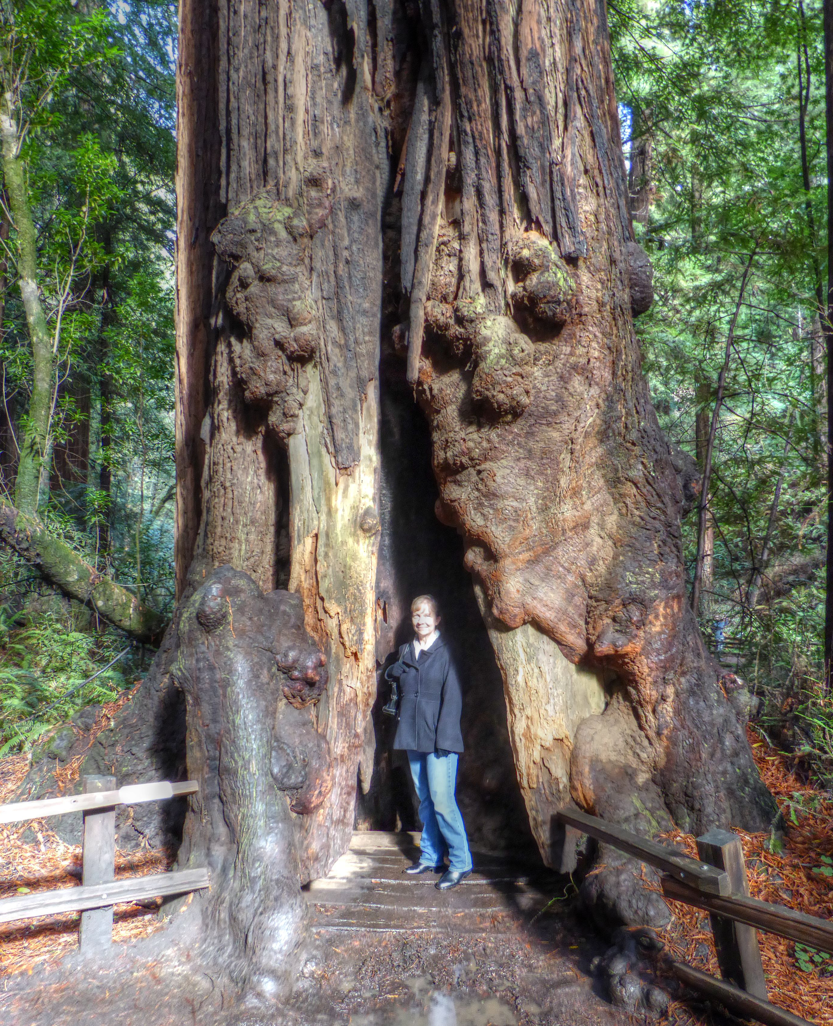
OK, now forget the statistics and measurements. It is beautiful, and in spite of all the other tourists, tranquil. It is inspiring. Leave your own tape measure at home. Among the trees you will feel how massive they are.
The forest was so impressive that I have dedicated a separate post here to photos from our visit.
Click HERE to see more trees!
South toward Los Angeles
Although we originally had thoughts of also going to Big Basin Redwoods State Park, Sequoia National Park, or even just a leisurely drive down highway 1 along the coast, we had little time, and a long drive just to reach our hotel in Santa Maria. So, leaving Muir Woods behind, we guided the rental car through the hilly madness of the streets of San Francisco and worked our way south on highway 101. After spending the night in Santa Maria we drove to Santa Barbara to drop off the rental car.
Santa Barbara
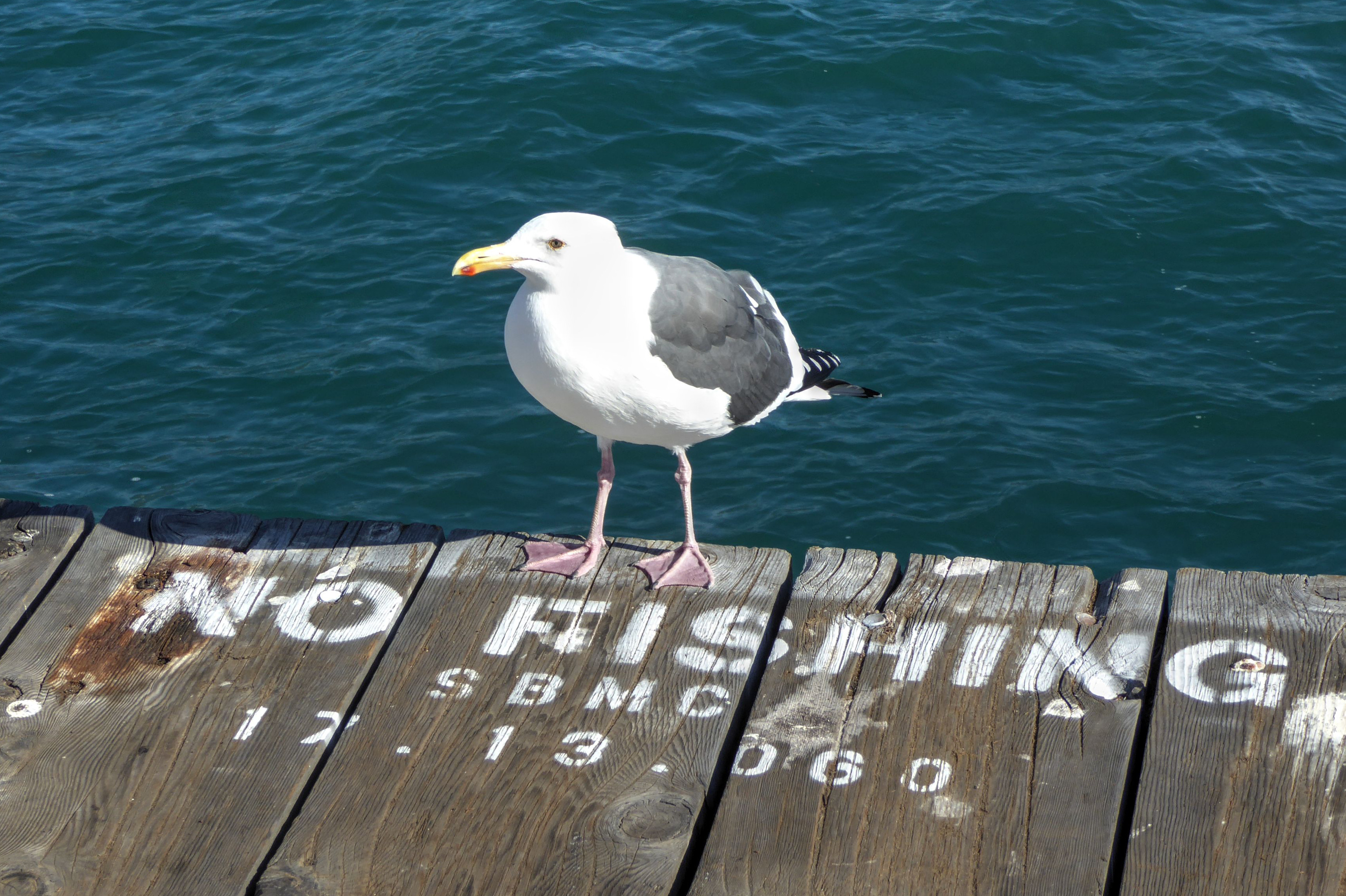
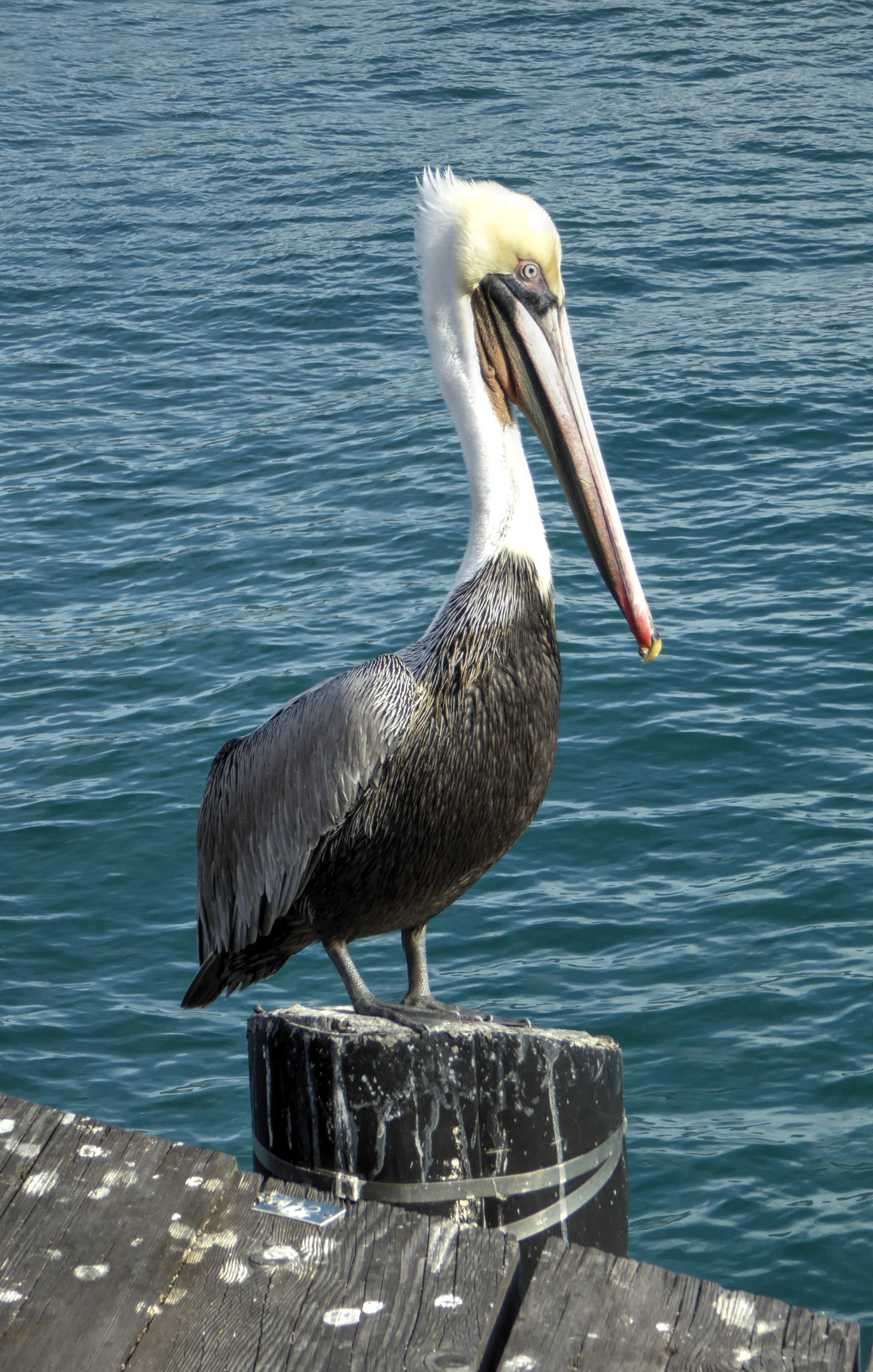
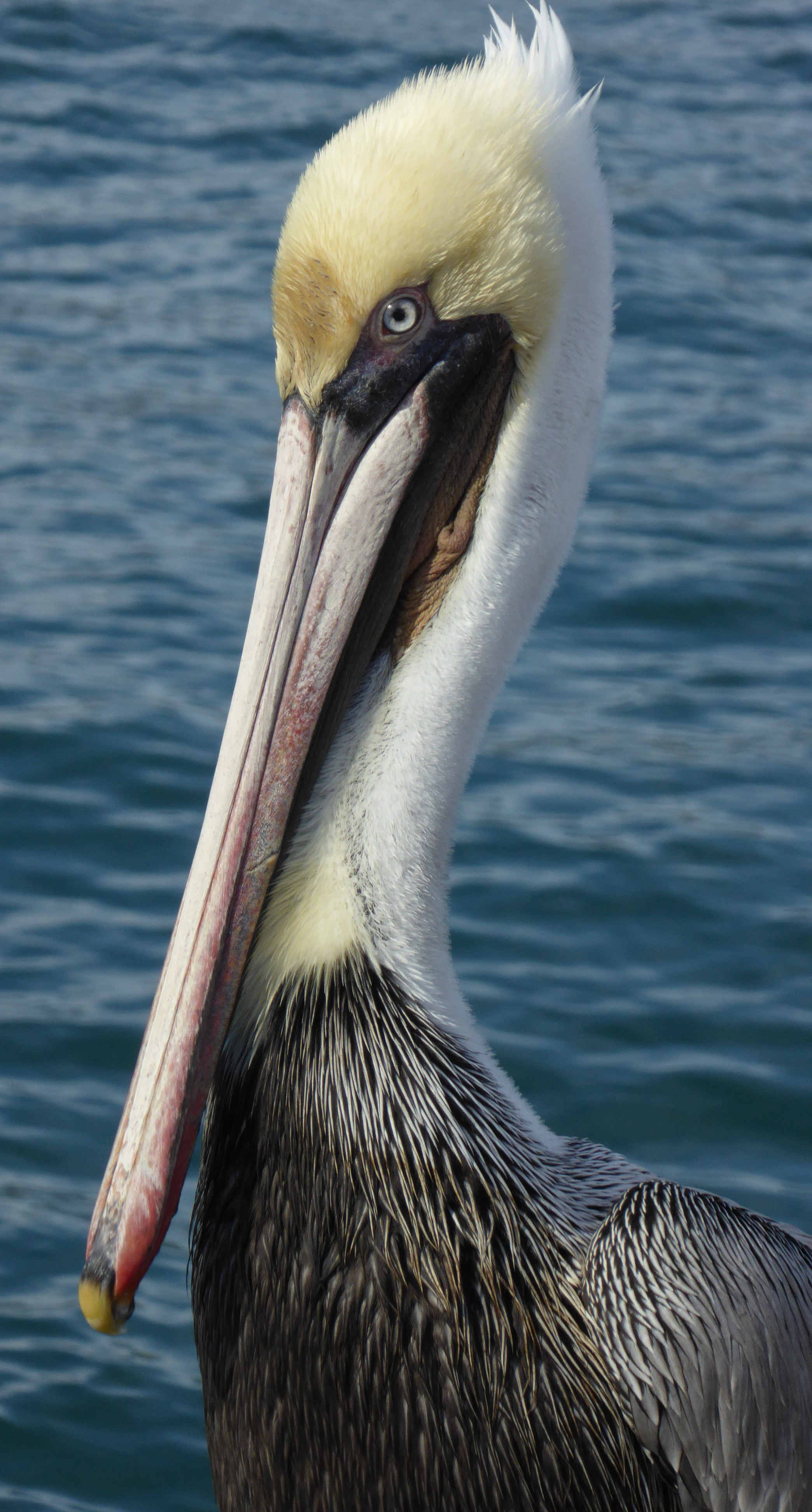
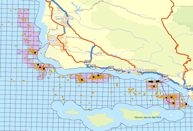
We had a few hours before our train to Los Angeles, so we ate breakfast and then walked out on Stearns Wharf to admire the view of the ocean, seabirds, and in the distance, the Channel Islands.
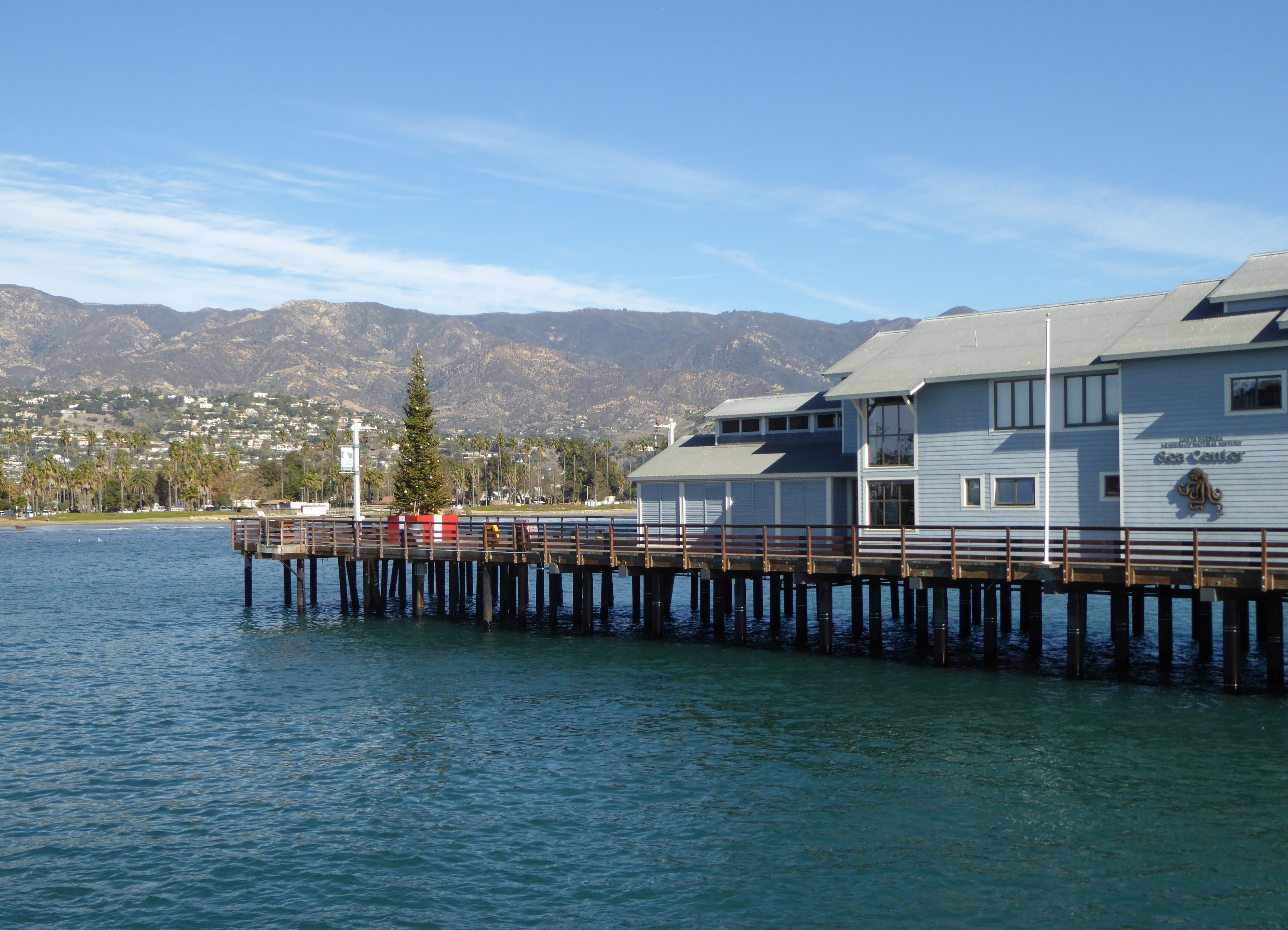
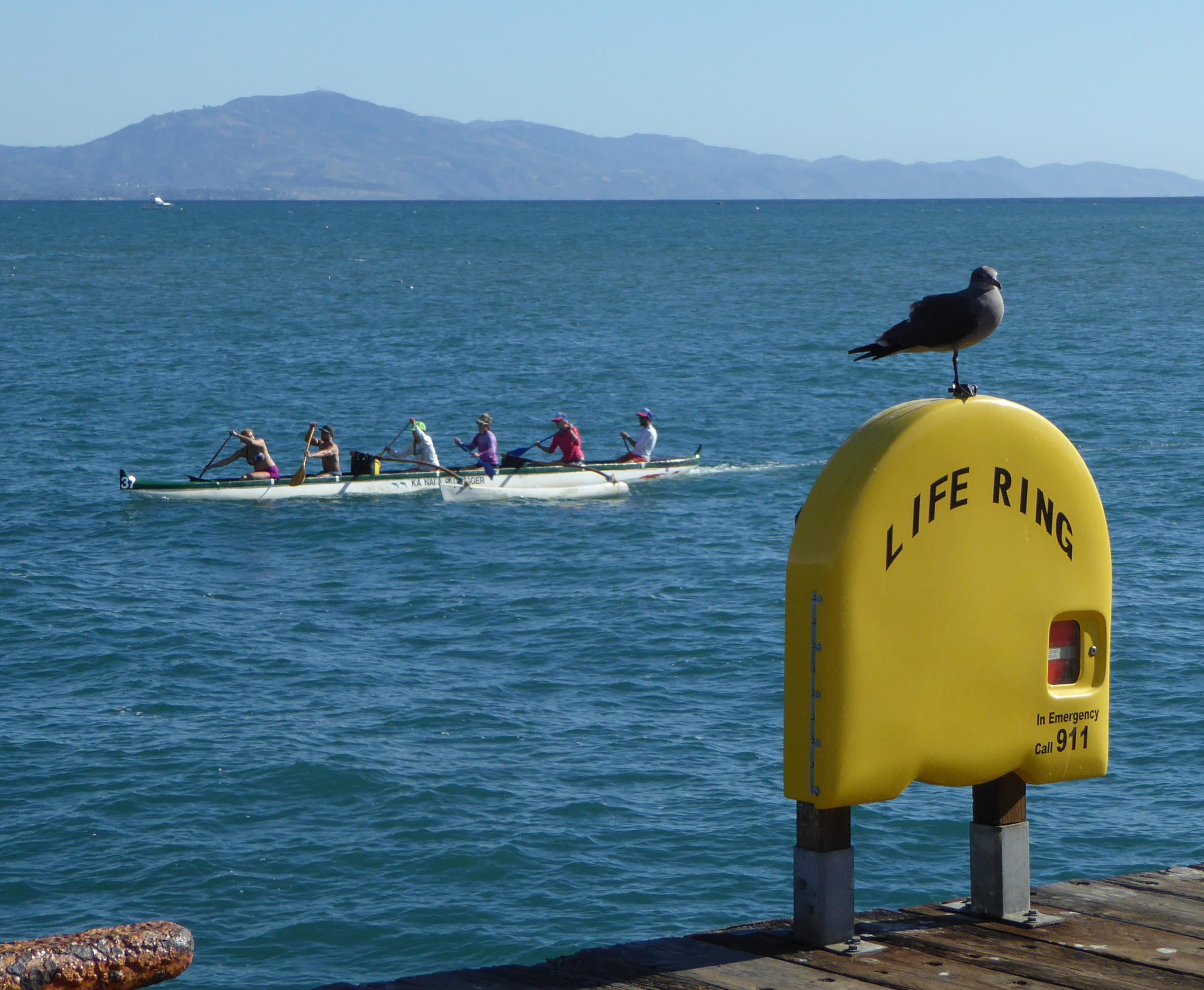
The unmistakable silhouettes of off-shore oil rigs are visible between the coast an the islands. In 1969 a huge oil spill fouled the channel and beaches, and killed numerous seabirds and marine animals. At the time it was the worst spill in U.S. waters (although now it is number 3 behind the Exxon Valdez and Deep Water Horizon disasters).
In anticipation of any future problem, anchored close to shore floats the “Ocean Keeper”, an oil recovery vessel.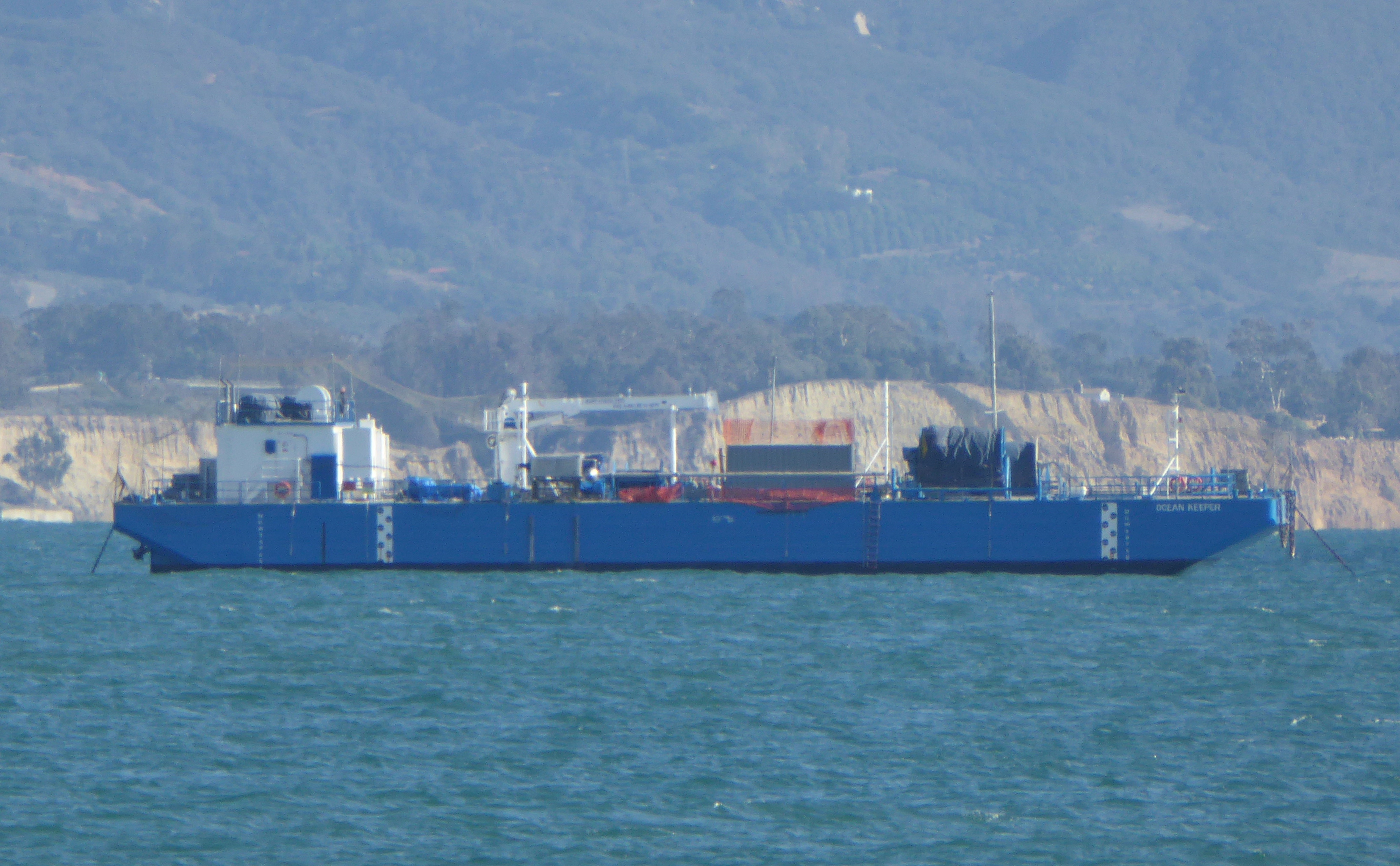
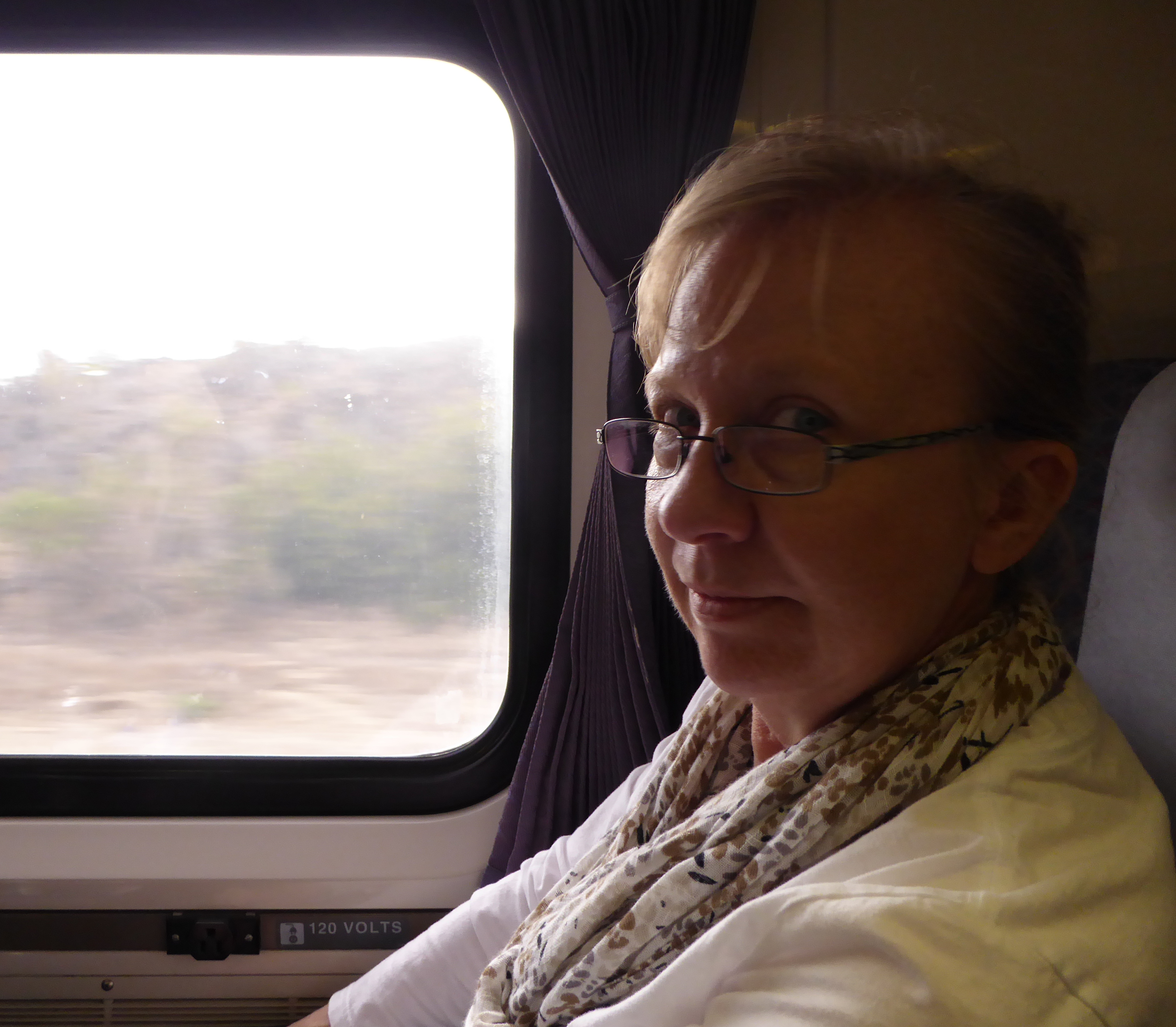
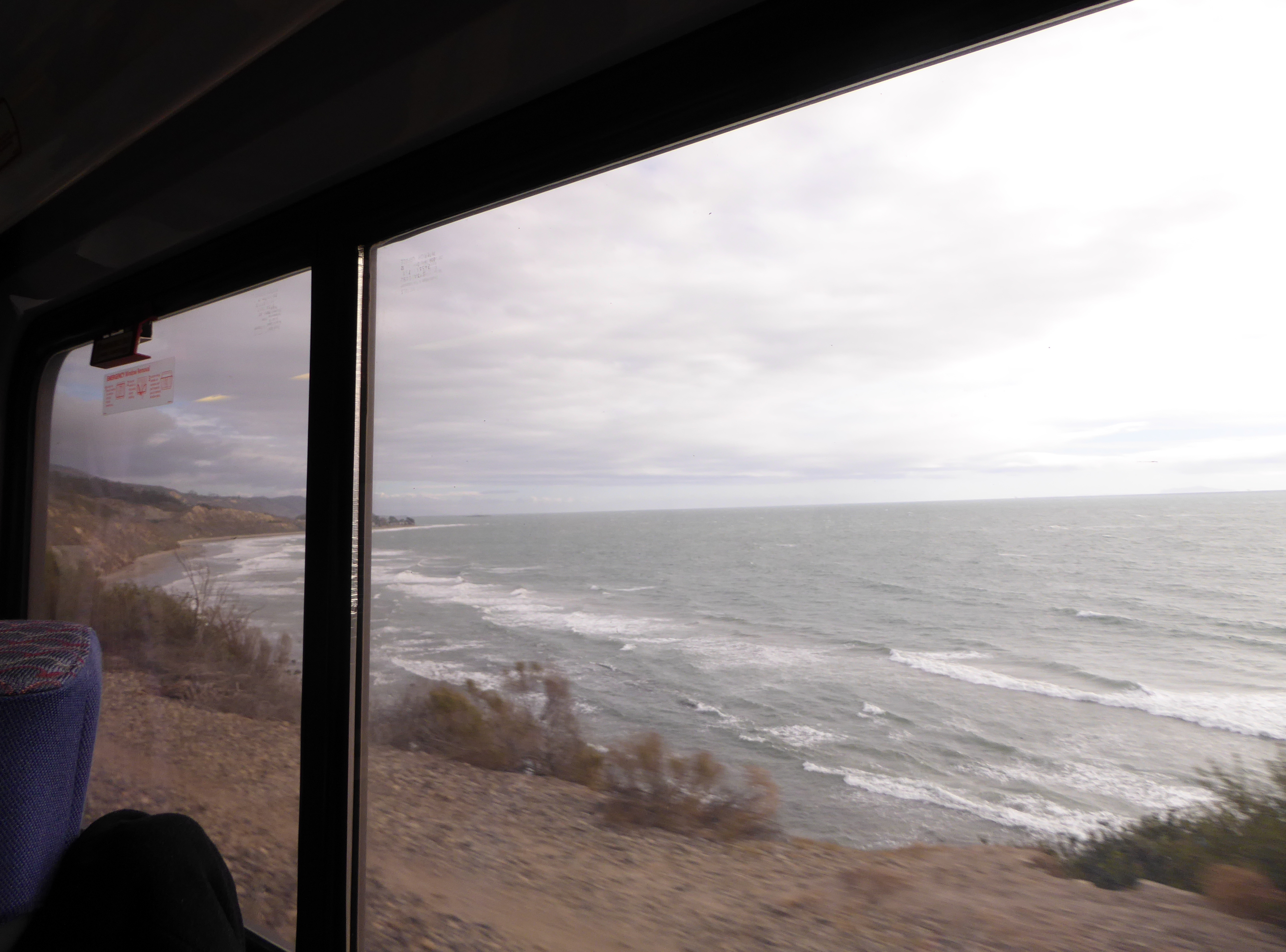
We left Santa Barbara on Amtrak’s “Pacific Surfliner” headed south.
The ride included occasional views of the coast.
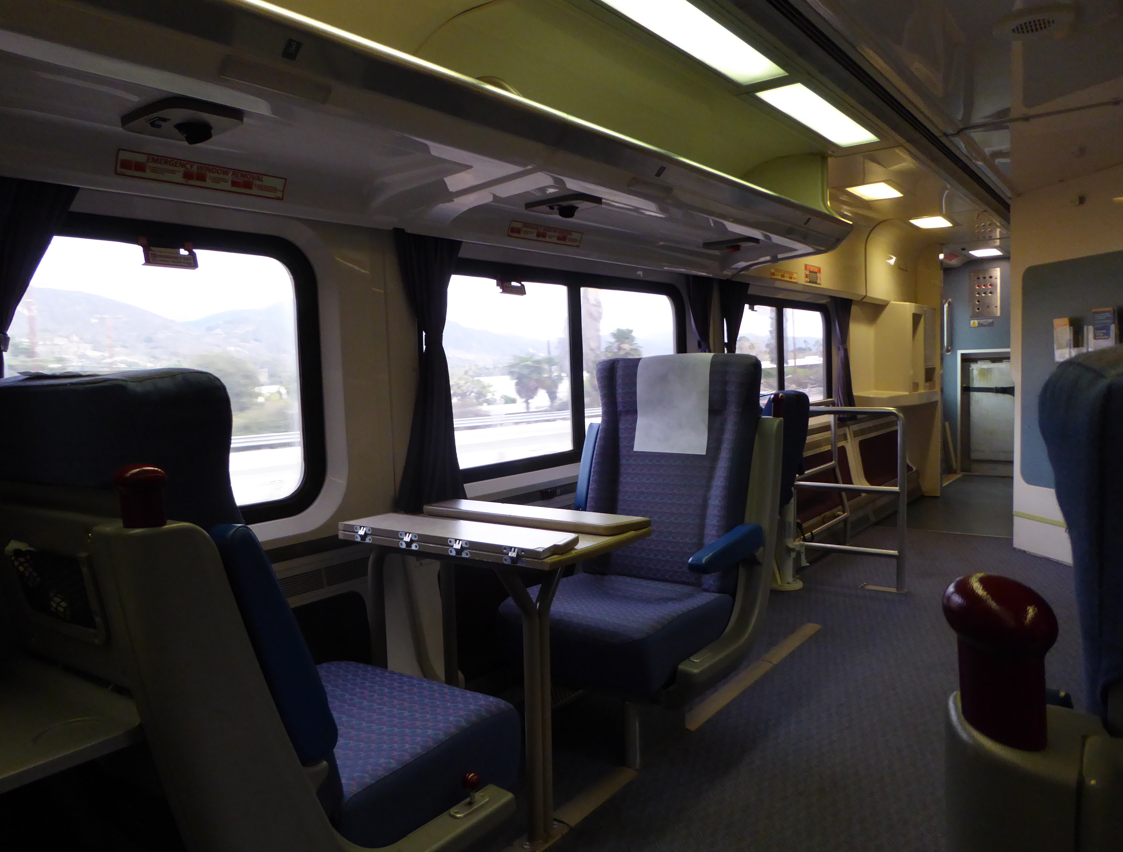
Los Angeles
It was dark by the time we reached Union Station in L.A. We left our bags in the passenger lounge check area, and a short walk took us to the large plaza at the south end of Olvera Street. A small band on a stage provided music as a score of couples in their 70s and 80s danced in that shuffling way old people in love do. A gentle rain did not dampen anyone’s spirit. It was so romantic and uplifting. I wanted to cry it was so sweet. After the band finished and passed the hat, we slowly worked our way down Olvera street in search of dinner. This is a pedestrian street, its center housing a series of small stalls selling a variety of hats, t-shirts, dresses, handbags, and crafts.
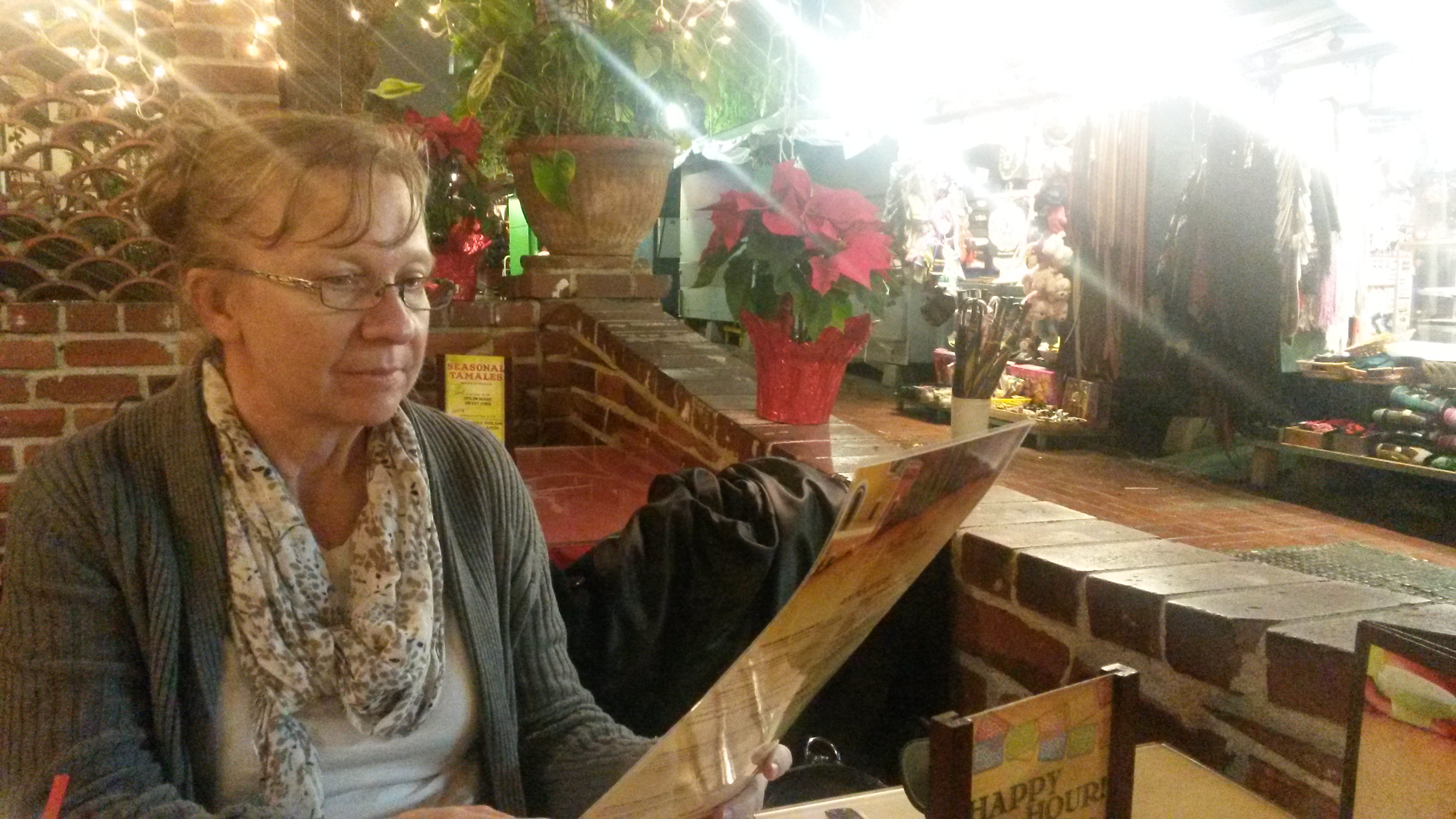 The rain increased, and we had to decide fast where to eat. Clearly the best candidate eatery was a small hole in the wall restaurant bustling with activity, tables crammed close together. But, with the rain we didn’t want to wait for a table.
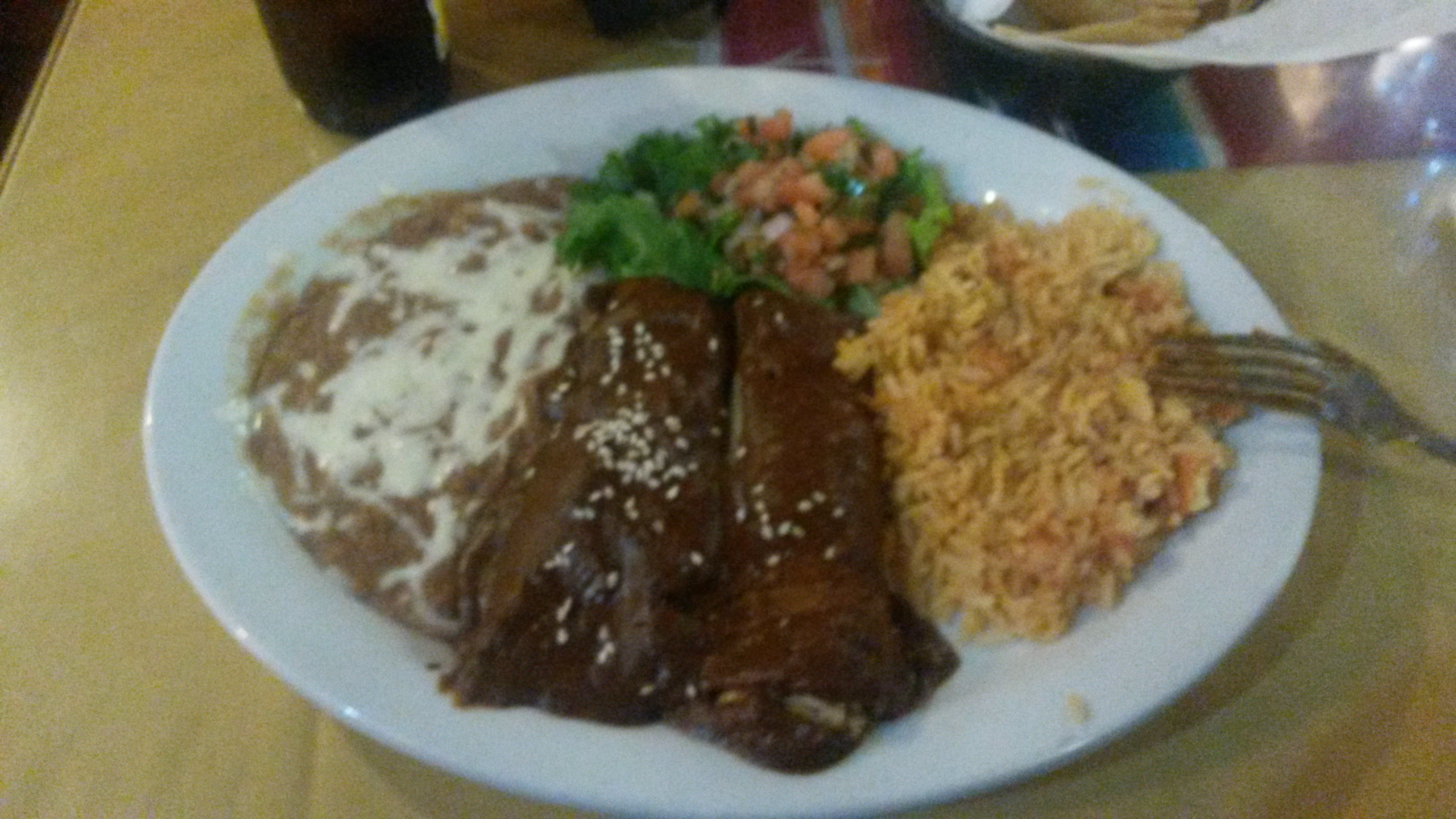 So we opted for a (pricier!) tranquil place with an available patio table next to the street, under an awning with radiant heaters above. Ahhh… it was cozy, romantic, and the food was great!
After a relaxed meal, umbrellas up, we headed back to the station. Our train, the Sunset Limited, left at 10:00 pm headed for New Orleans.
Sunset Limited
Years ago this train linked the east and west coasts of the country, traveling from Los Angeles to Orlando, Florida. In the aftermath of Hurricane Katrina, Amtrak dropped the New Orleans to Orlando segment. The train only runs three times a week.
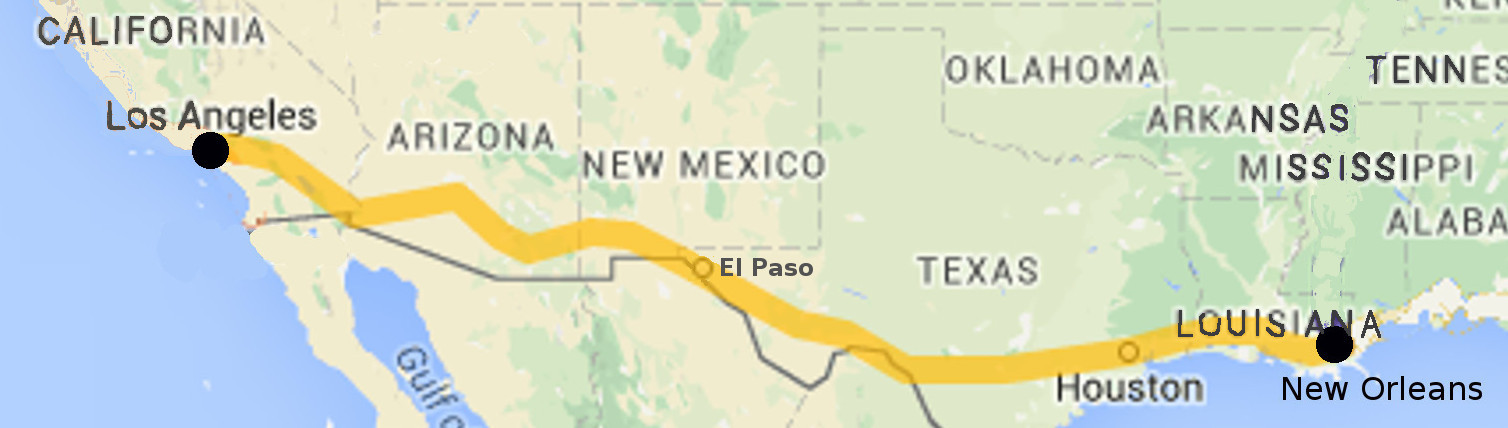
The journey from California to “The Big Easy” in Louisiana covers almost 2,000 miles (3,200 Km), and involves two nights on the train. (Trains in the United States are not fast, and the maximum speed on this is only 80 mph)

For me the high point is the segment that almost touches the border with Mexico near El Paso, Texas. You can look out the window and look into another country, see people working, and children playing.
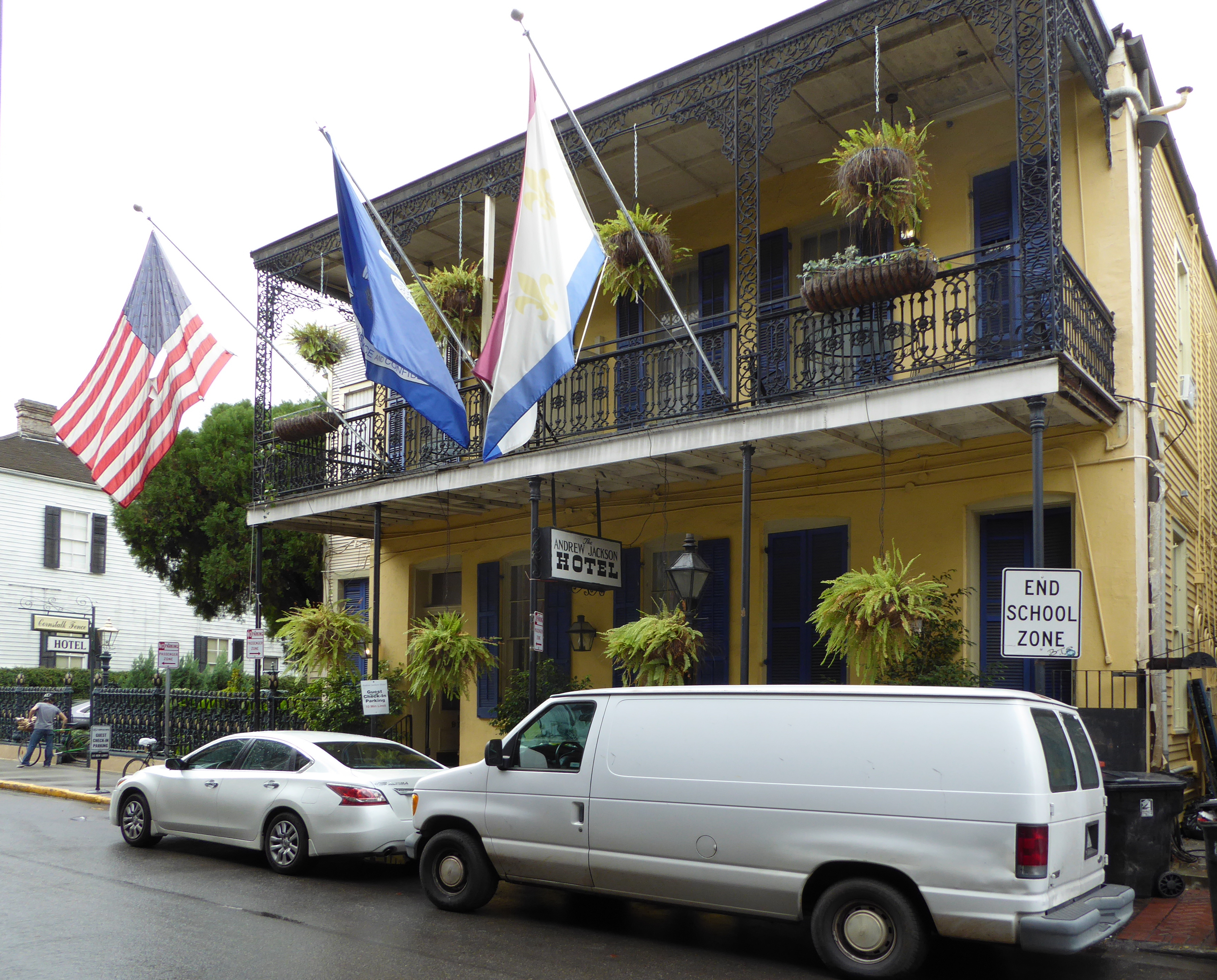
New Orleans
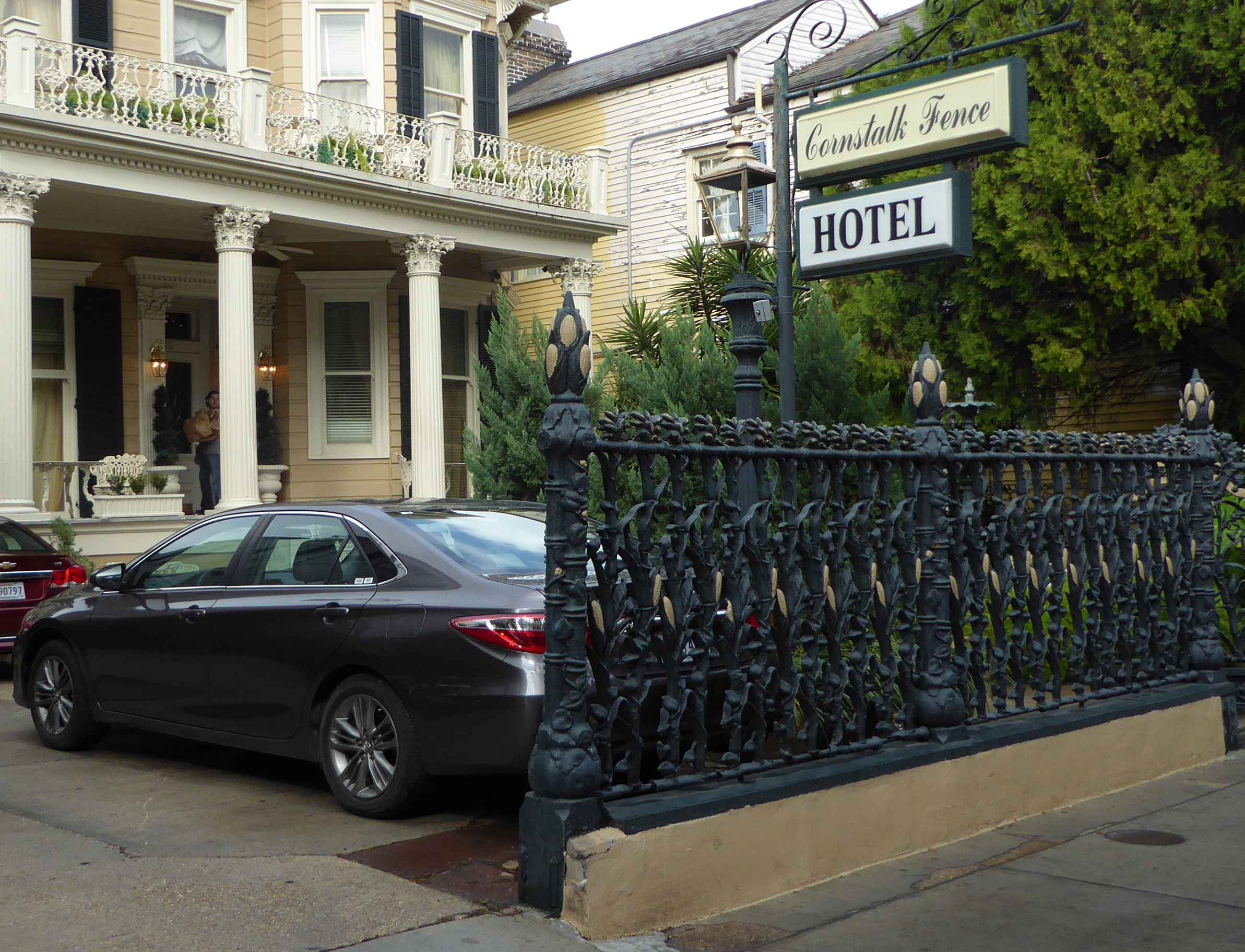
On previous visits, we’ve stayed in the Garden District and the French Quarter. This time we chose a hotel near Lafayette Park, about 8 blocks from the train station. Our quarters were right on the St. Charles streetcar line, so it was easy to move around.
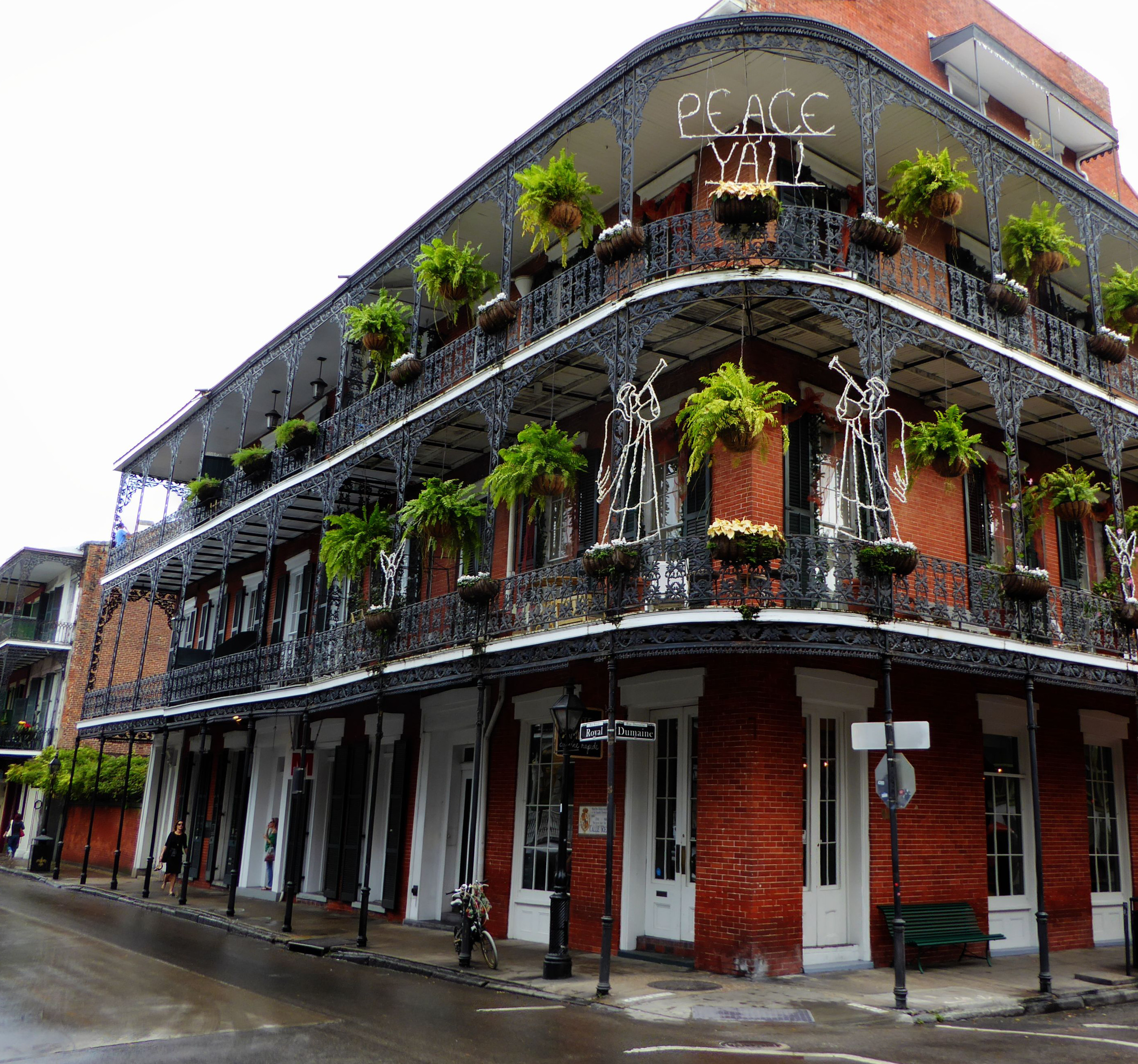
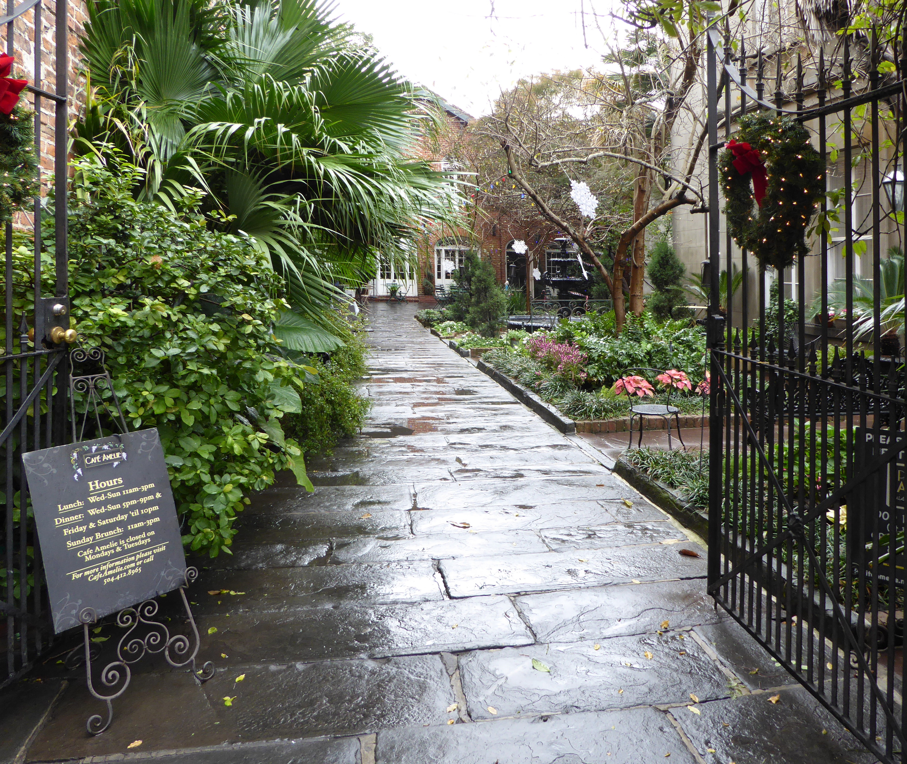
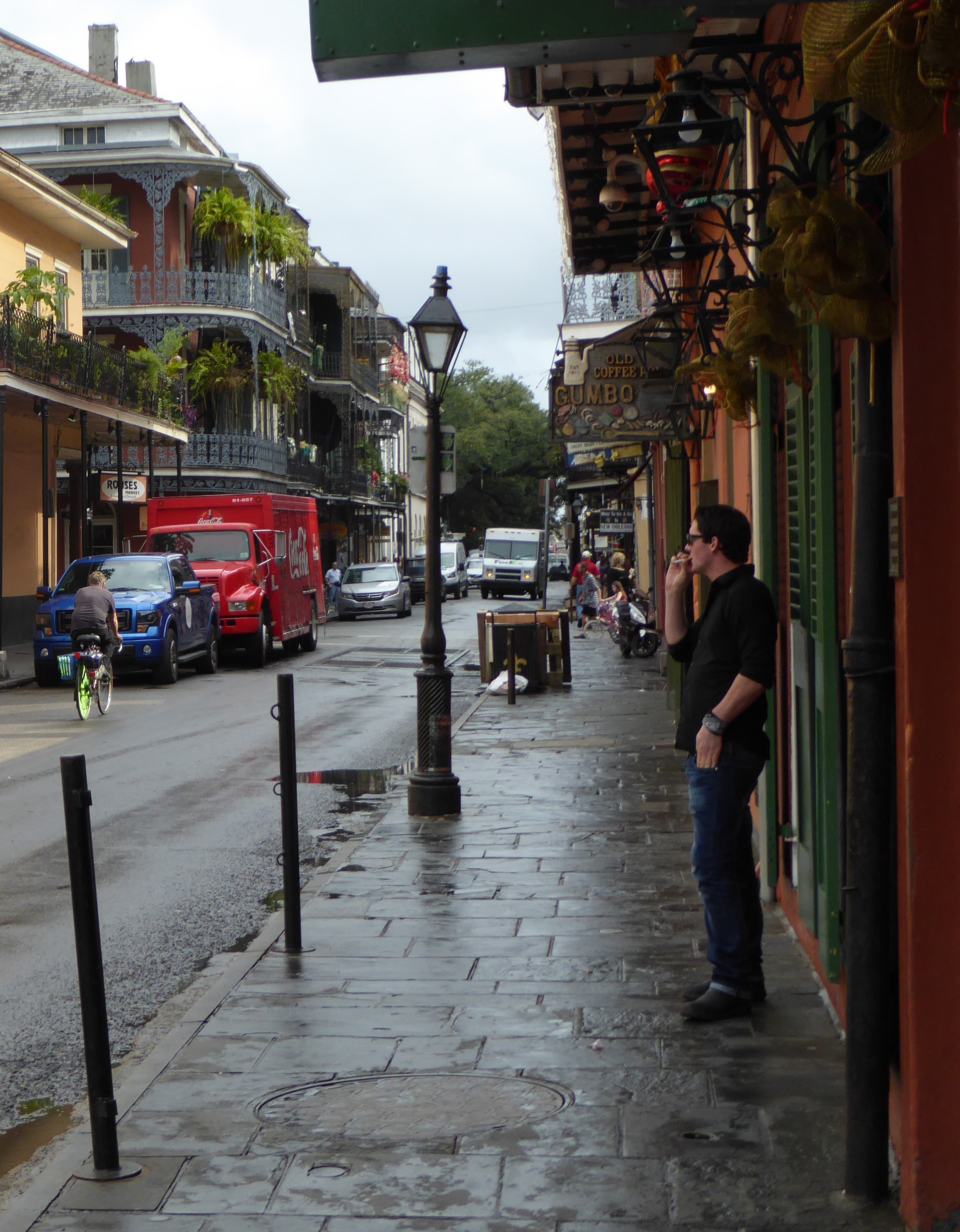
Walking around town

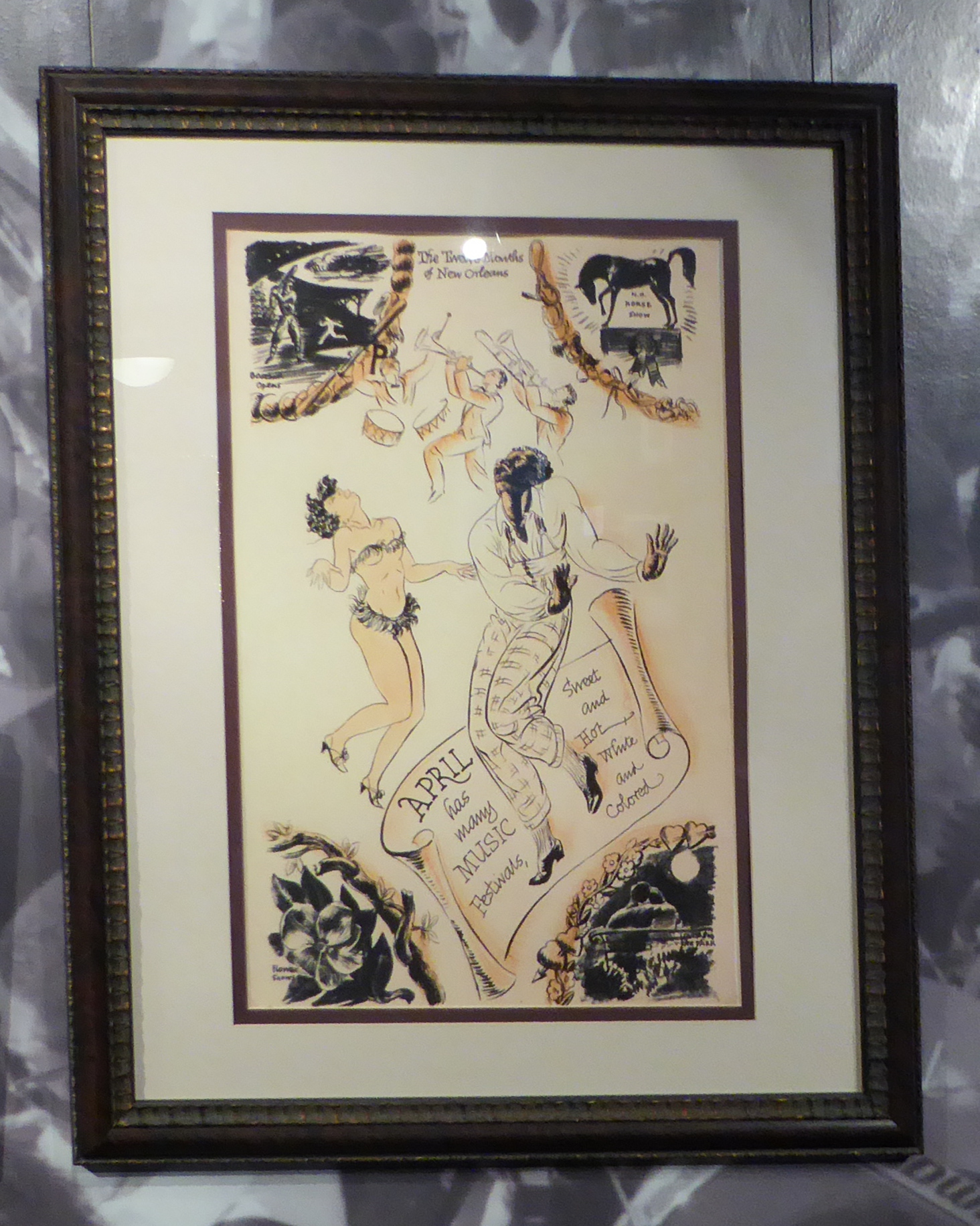
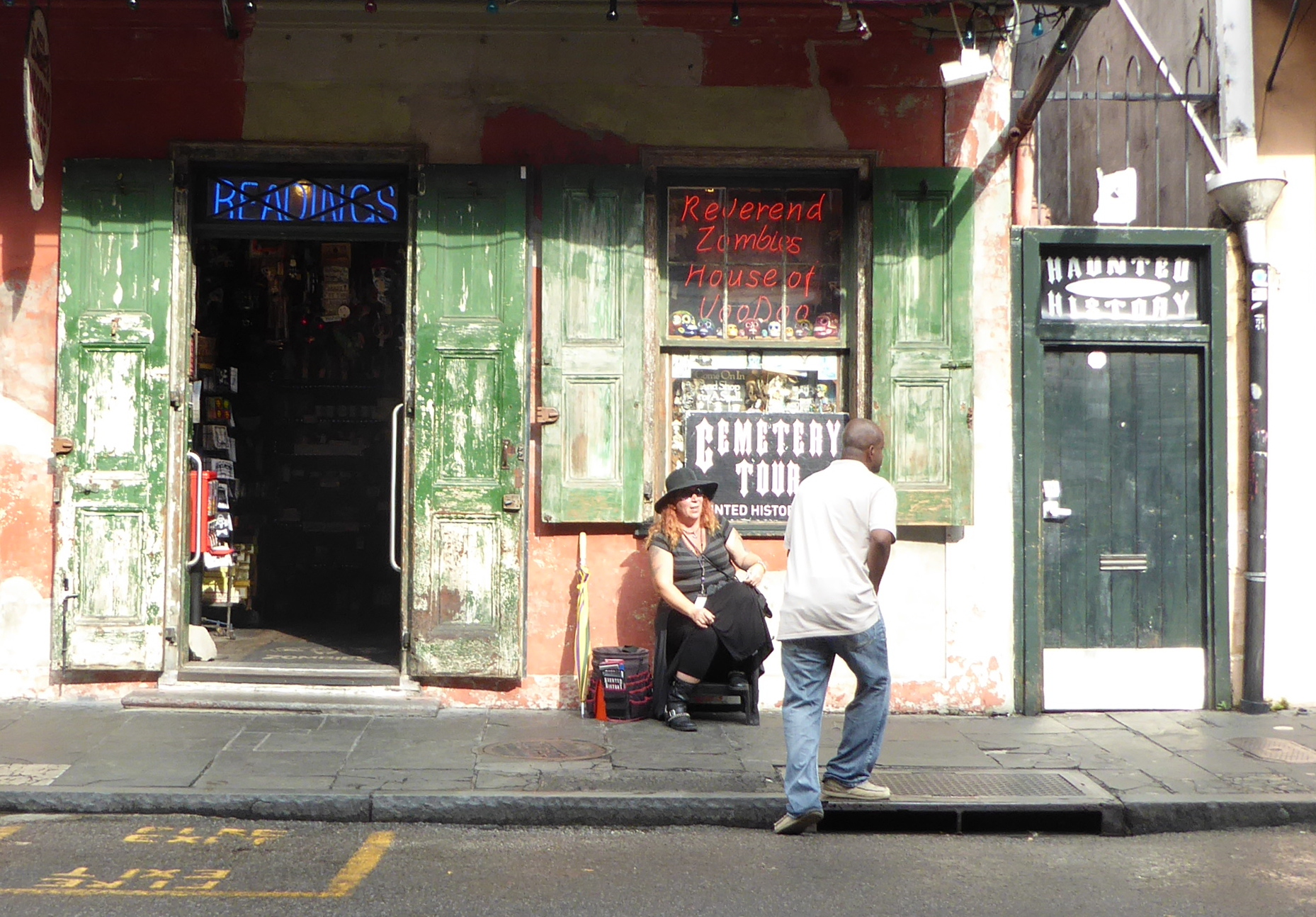 Based on a tip at a tourist information office, we walked to Rev. Zombie’s House of Voodoo to sign up for a tour that would include New Orleans’ famed cemetery. But going to view the collection of above-ground tombs there, the tour took us to see Congo Square near Louis Armstrong Park.
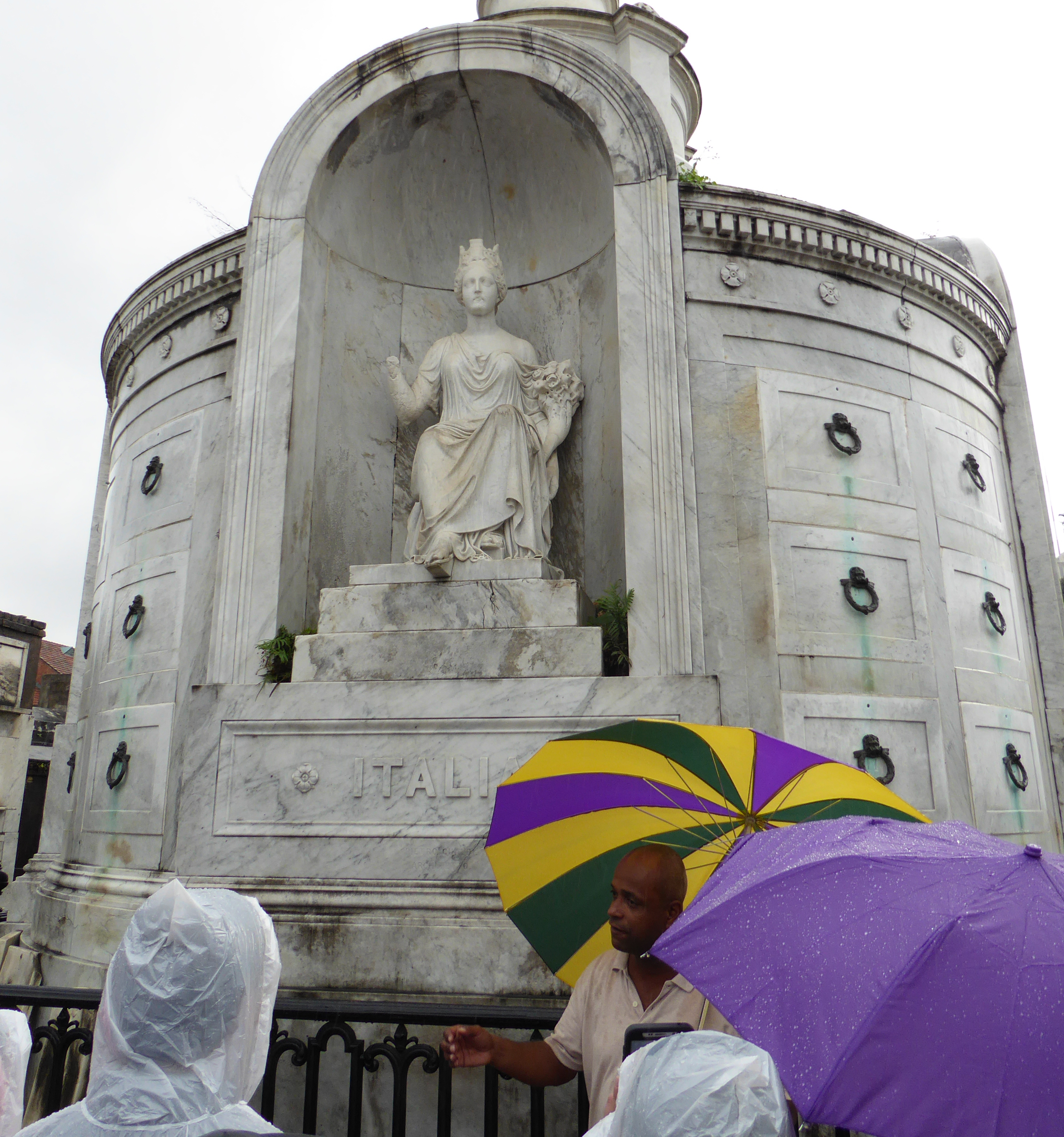
 Suddenly a downpour began and we just made it into the Basin Street Visitor Center before we got drenched. (Luckily there was a shop in the building where we all bought cheap ponchos to supplement umbrellas).
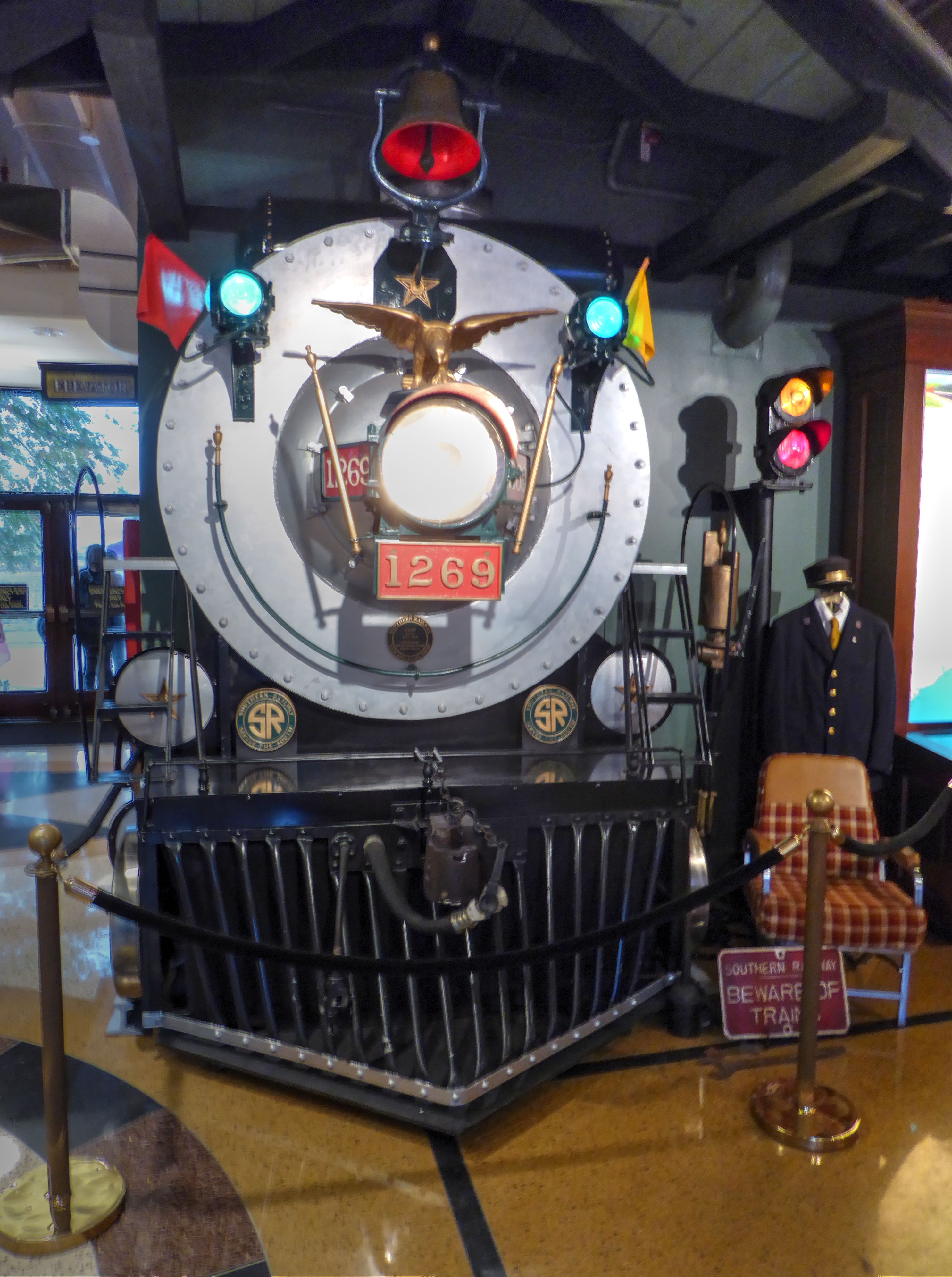
The visitor center building is a bit of a cultural sleight of hand. Huge engraved lettering across the front of the building proclaim it to be the “Basin St. Station”.
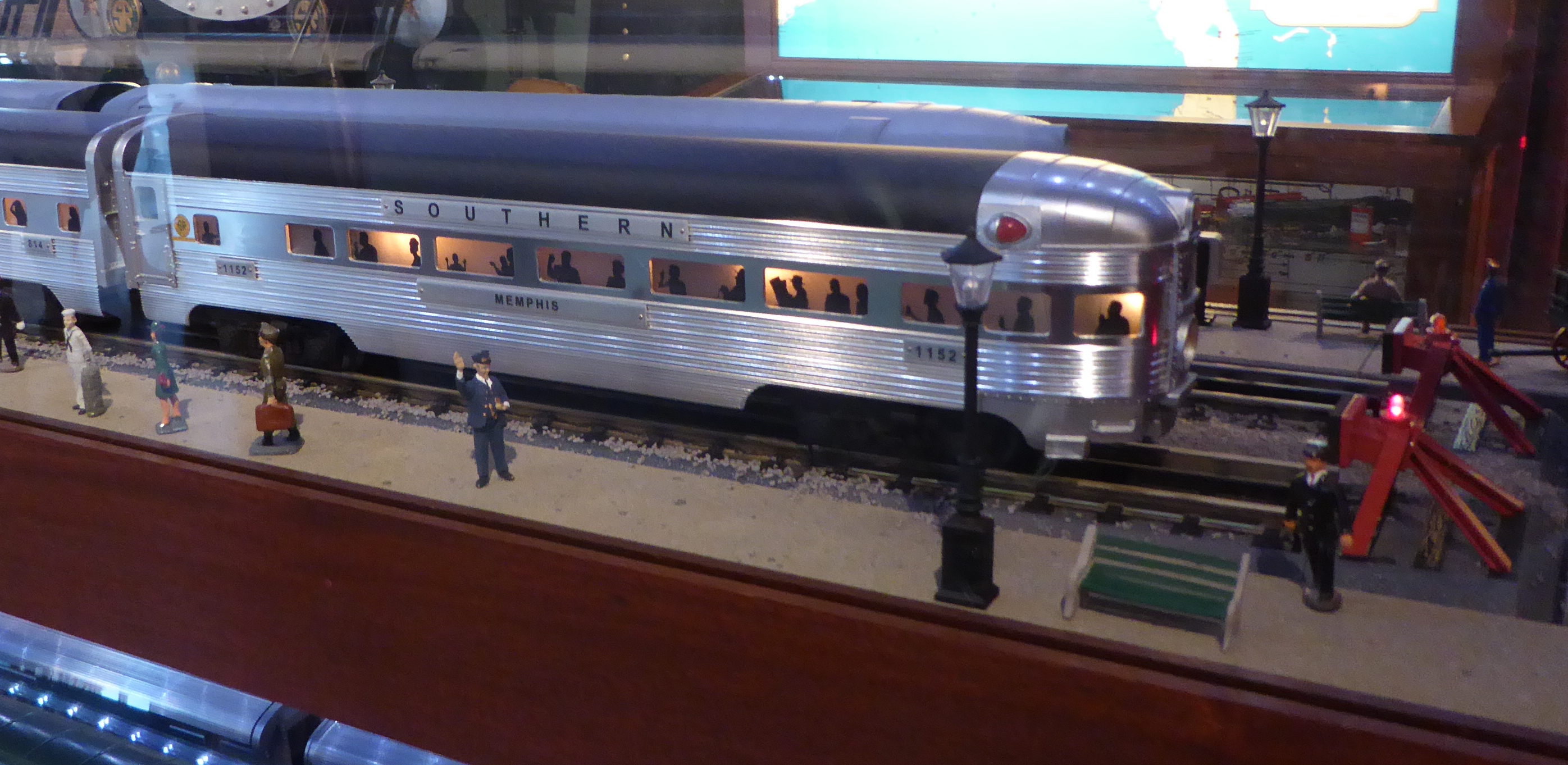 The main level includes a museum area embellished with models and artifacts related to the Southern Railway. There is even a mocked up re-creation of the front of a locomotive to help lead your mind to the conclusion that this was an old train station. The building has its own web site whose carefully crafted imprecision promotes the aura of authenticity. Well, the building is owned by the Valentino family and houses the headquarters and offices of the chain of five “Valentino New Orleans Hotels.” The building, built on land identified at the time as useless swamp is historic, originally constructed in 1904.
But it was never a train station. Before its abandonment in 1975, it served as offices of the Southern Railway and the “New Orleans Terminal Company”, another railway. The Valentino company did a nice remodel job and recast it as the Basin St. Station whose façade (per their web site) “emulates the exterior of the original New Orleans Southern Railway Passenger Station”.
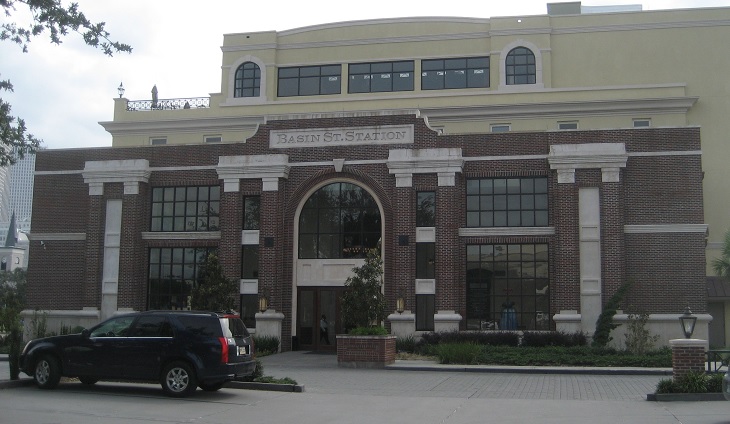
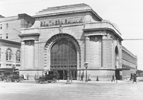
The owners obviously did a pretty good job as there is no shortage of visitors who are convinced that the Valentino office building used to be a train station!
 The visitor center was a wonderful refuge from the rain, and had nice exhibits on a variety of topics. It also provided our guide with an opportunity to use a huge back-lit map on a wall to explain a number of historical items of interest related to the city.
Saint Louis Cemetery Number One
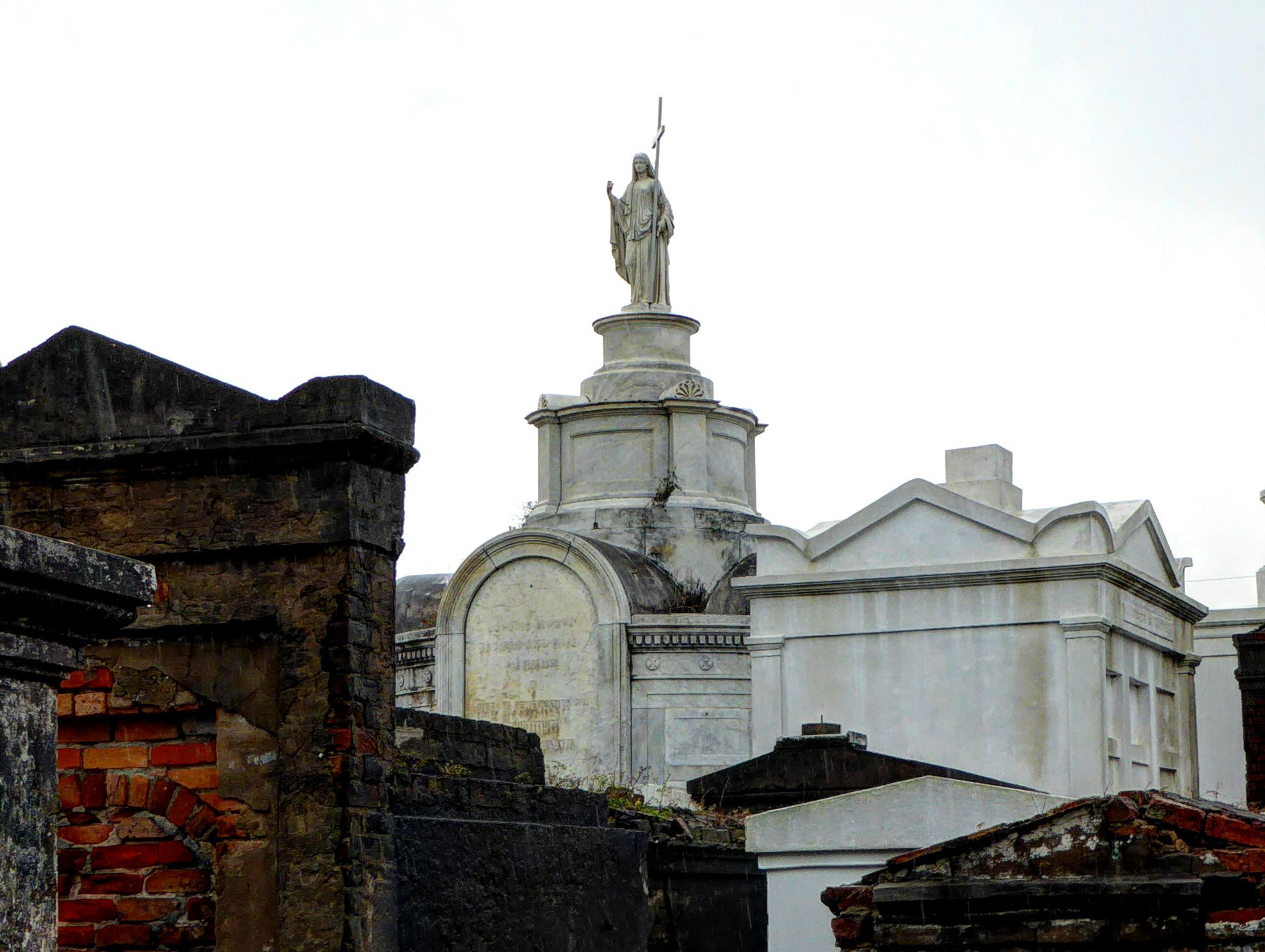
There are interesting historical issues related with the treatment in New Orleans of the remains of their deceased residents. The high water table that made some areas of the city virtual swampland create challenges for burials. This combined with French and Spanish traditions have caused most burials to be in above-ground tombs of one variety or another. City expansion, a fire, and overcrowding let to the closing of the older graveyard on St. Peter Street. Remains from that location were moved to a new site known as St Louis cemetery. That site, opened in 1789 ran out of space and St Louis Cemetery #2 was opened in 1823 (without closing St Louis Cemetery #1). St Louis Cemetery #3 followed in 1854.
 Our tour was of cemetery #1, the most visited of the three. Our guide riveted our attention with stories of the history of the site, and the somewhat surprising customs of how the various crypts undergo continuous reuse as the need comes up for new burials.
The tombs of a variety of famous people from New Orleans are not suprisingly found in the Cemetery (As well as the bizarrely designed future tomb of Nicholas Cage).
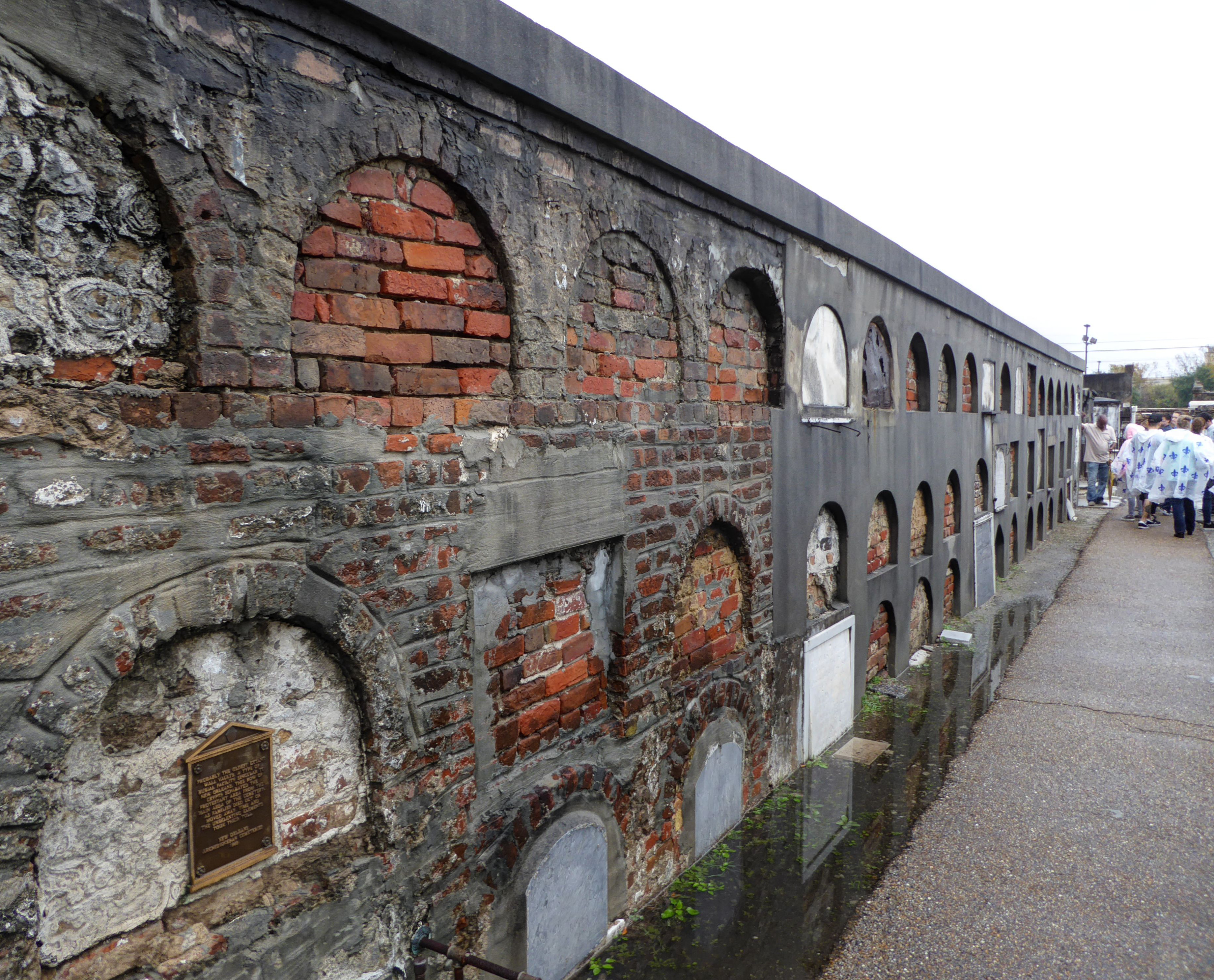 Some remains are put into wall crypts
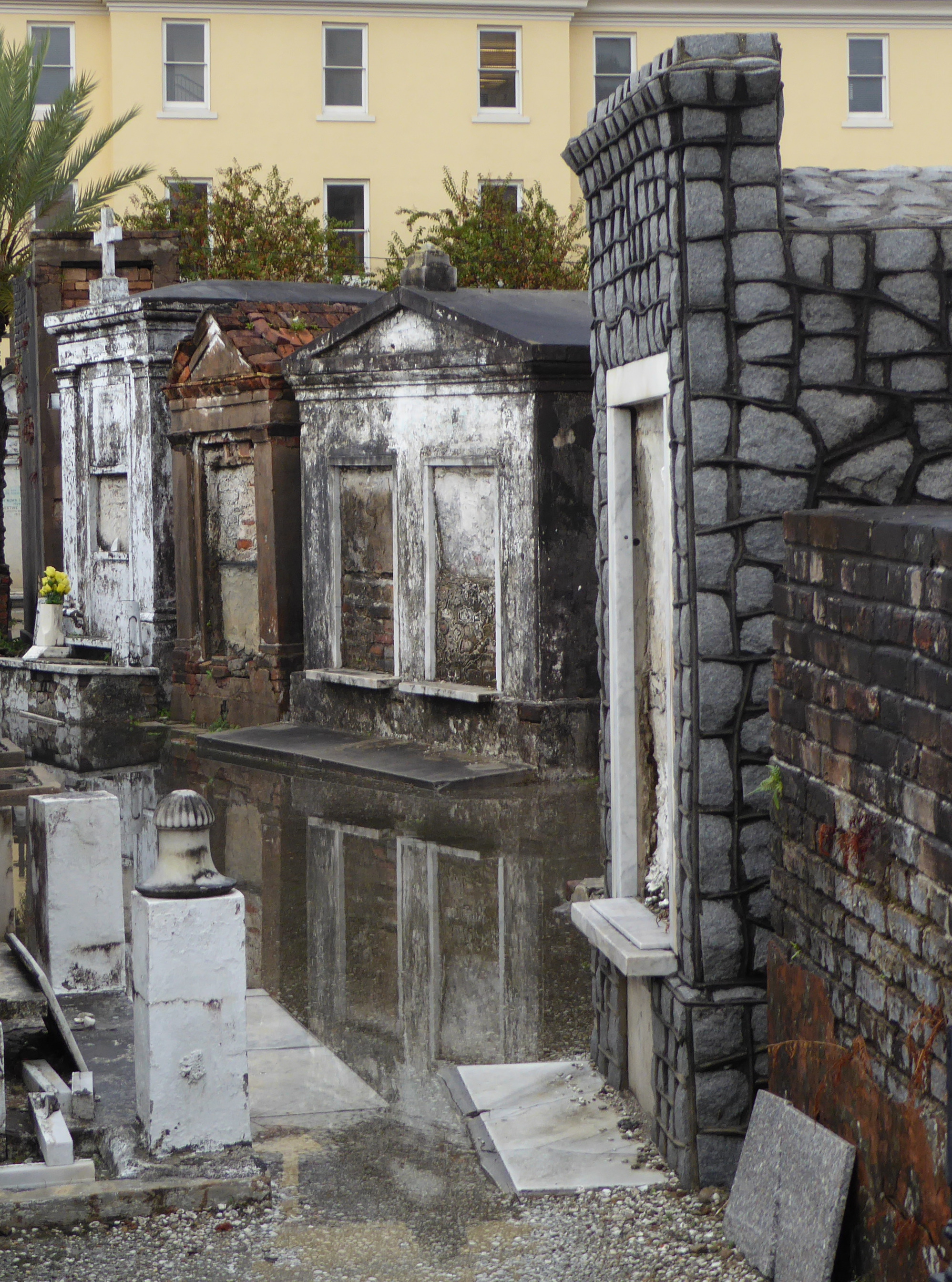
Others are in individual, family, or group tombs.
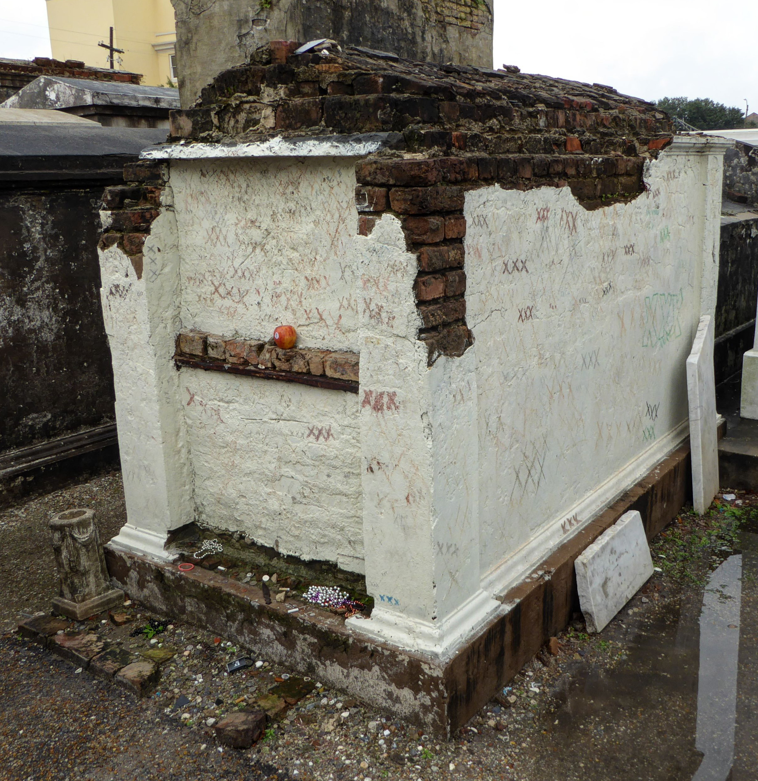
Final resting places of various dignitaries, statesmen, and businessmen aside, one of the most interesting interments is that of the remains of Marie Laveau, the famous voodoo queen/priestess. Within the cemetery a plaque has been attached to the Glapion family crypt indicating that it is the “reputed” site of Laveau’s remains. Well, since there was no “official” burial of Laveau, there is some controversy about the true location, and some think the Glapion crypt is a ruse to throw people off the scent of her real resting place.

Eventually the rain let up, although we still had to wad through deep puddles. Thank goodness for boots!
If you’d like to see our full set of cemetery photos, click HERE.
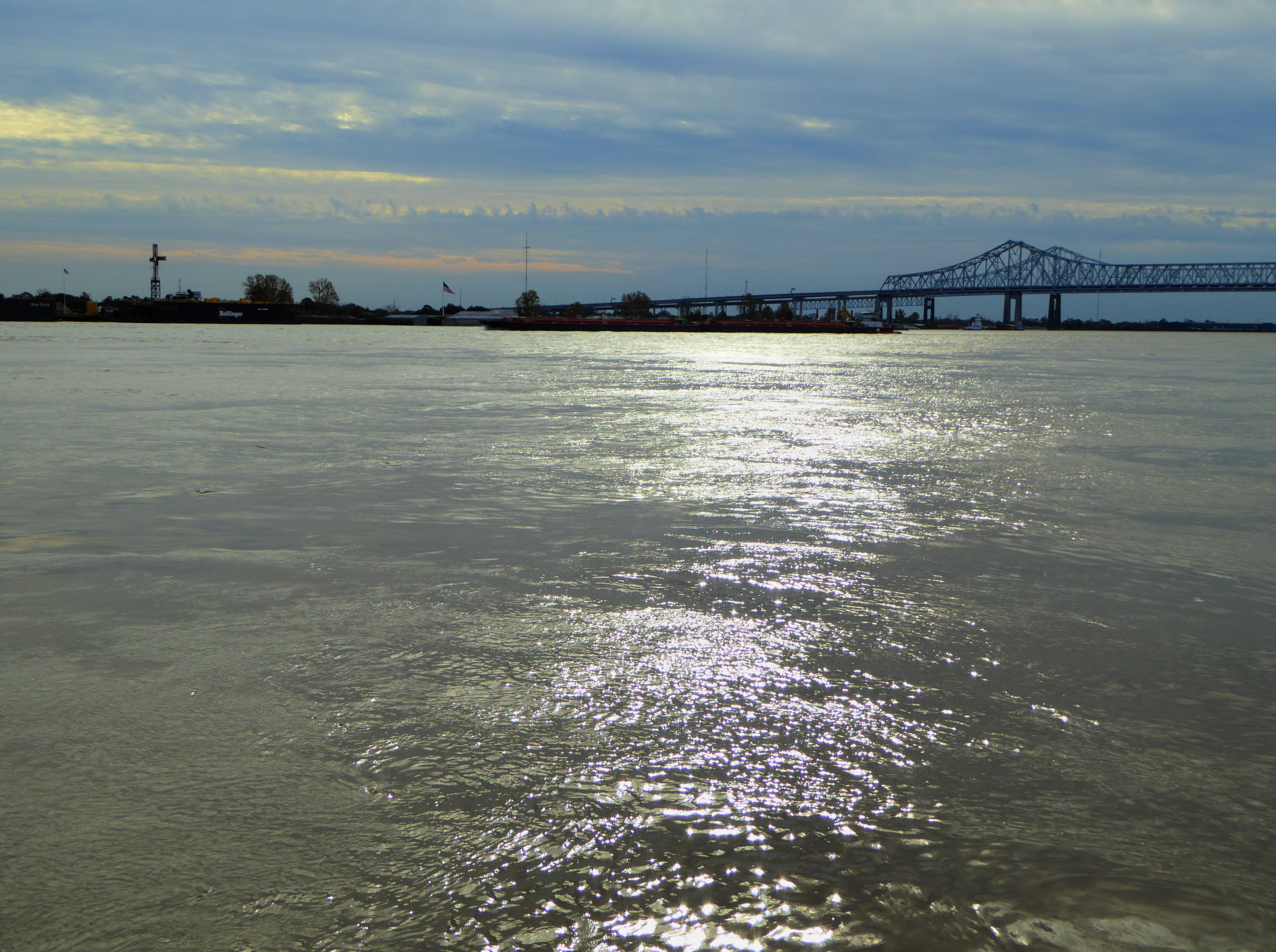
The Mississippi River
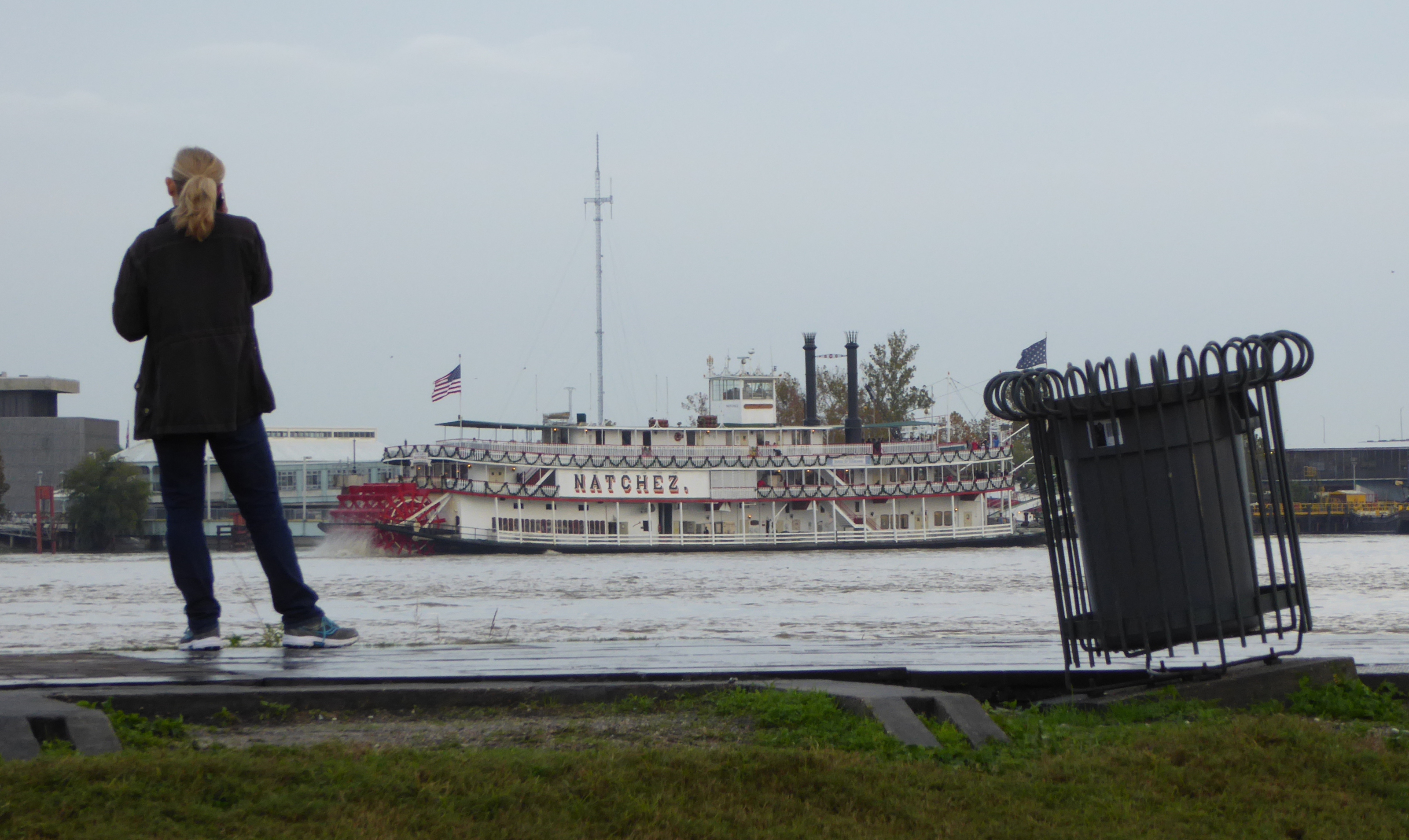
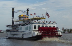
New Orleans, which straddles the winding Mississippi River, is in very many ways defined by the river, and its position at the mouth of the river. The river brought life to New Orleans,
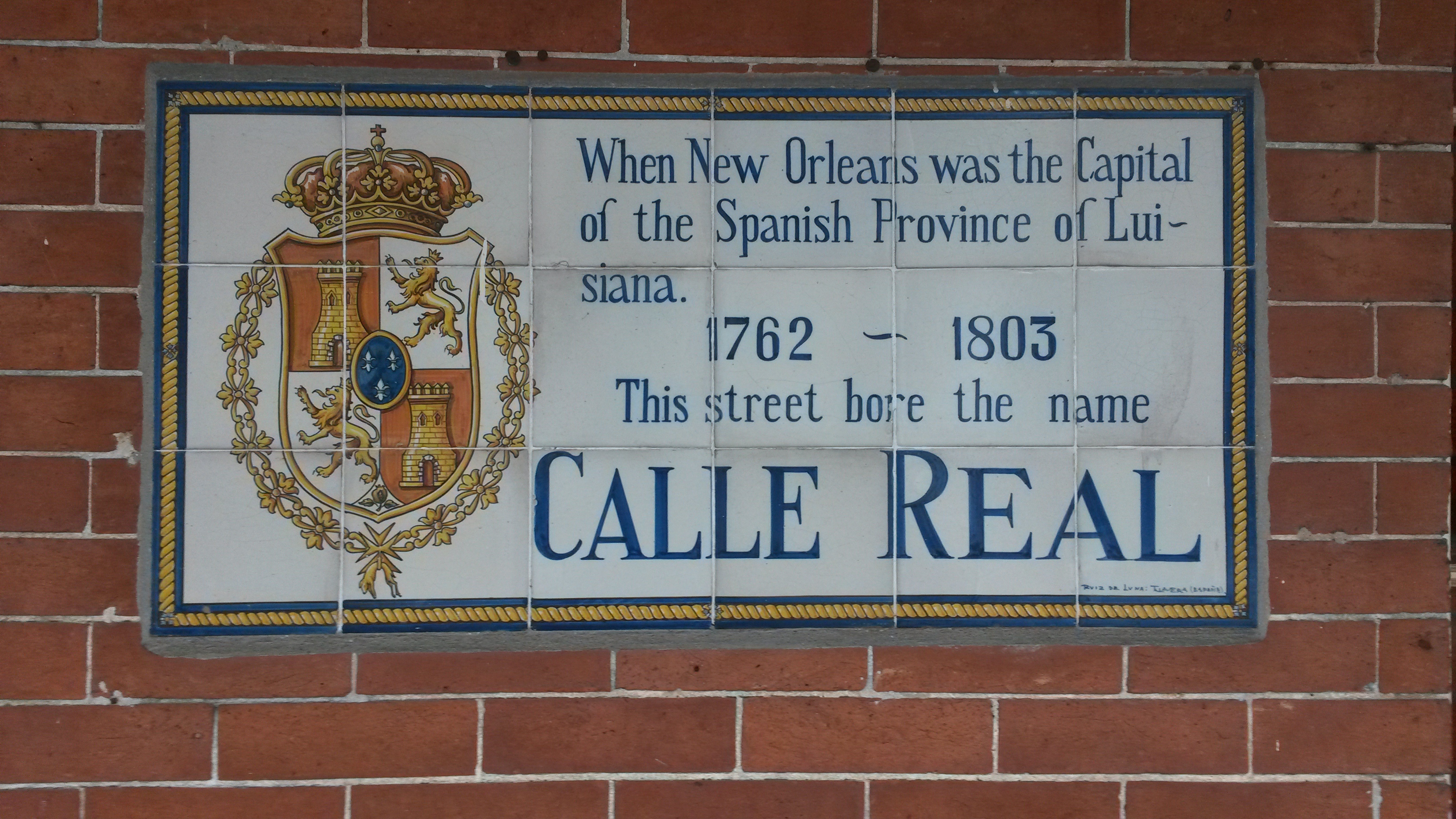
In the city the cardinal points on a map are not North, South, East, and West, but rather Upriver, Downriver, Lakeside, and Riverside.
It’s the train they call the “City of New Orleans”…
 Leaving New Orleans we took an Amtrak train north to Chicago. This is the train that Arlo Guthrie sang about- “The City of New Orleans”.
Sadly it does not just follow alongside the river, that would have been a wonderful view. But given the possibilities of flooding, probably dangerous. On a past occasion when we rode the train, we spotted alligators sunning themselves as the train passed over some swampy terrain. On this trip we had no such luck.
Chicago
I lived in Chicago for a couple of years when I was a very young boy, and have been back with some regularity, although mostly just “passing through.” The city, true to its nickname of the “Windy City” seems to always have wind howling through it off Lake Michigan. (Covering 58,000 square Km / 22,000 sq Miles it is one of the “Great Lakes”.)
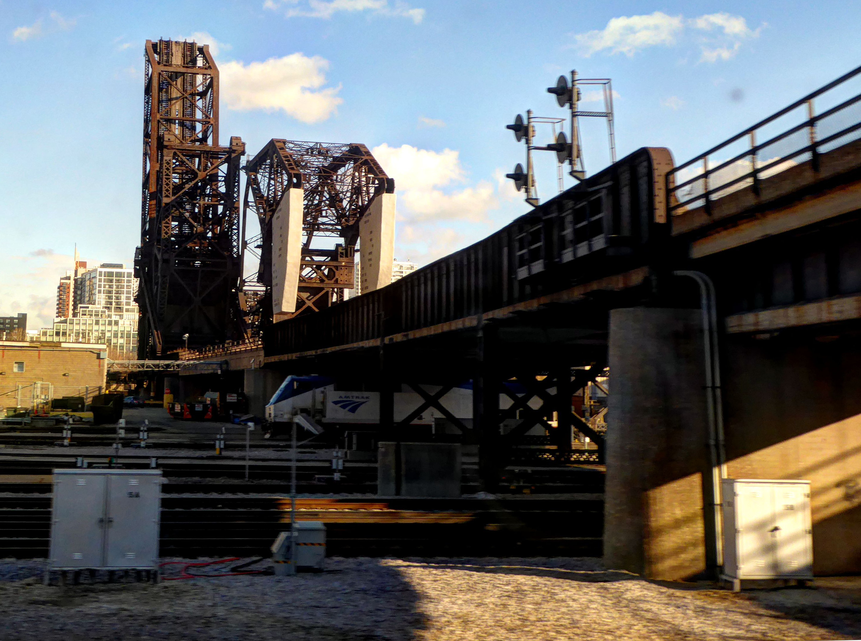 When I think of Chicago, I tend to think of steel, iron, and rust. Yet we were looking forward to a several hour layover in Chicago because of the “Metro Deli” a great restaurant/bar near the “Great Hall” of the train station. We have eaten there several times and had great food and great beer. And best of all, we did not have to exit the station and face the howling winds!
But what a disaster! The station is undergoing a massive remodel and they have closed our restaurant! The replacement is not yet open but looks to be plastic and bland. sigh…
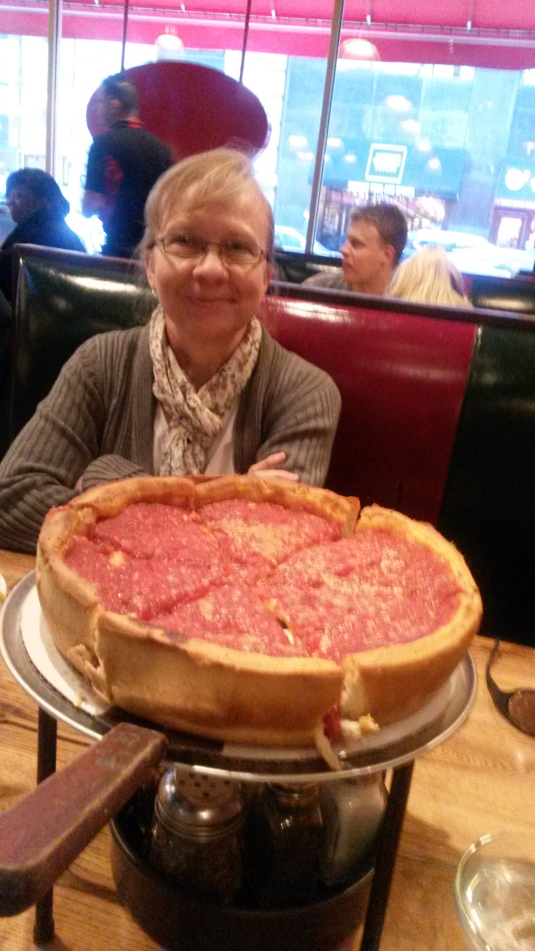 Cutting our losses we headed out into the wind and went to Giordano’s about five cold, cold, cold blocks away. There we had our anniversary dinner.
We ordered the stuffed deep dish “Classic Chicago” pizza. It was delicious!
Our waiter had formerly lived in a variety of towns in Colorado including Basalt and Carbondale. We asked him how people could stand to live with the cold in Chicago. He quietly told us that he has sworn to himself that this would be his last winter in Chicago. When we left he said- “Maybe I’ll see you in Colorado”.
Back on the Zephyr heading west: Across the plains and back to Denver
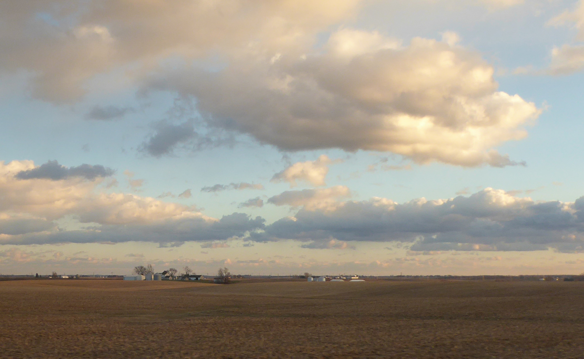
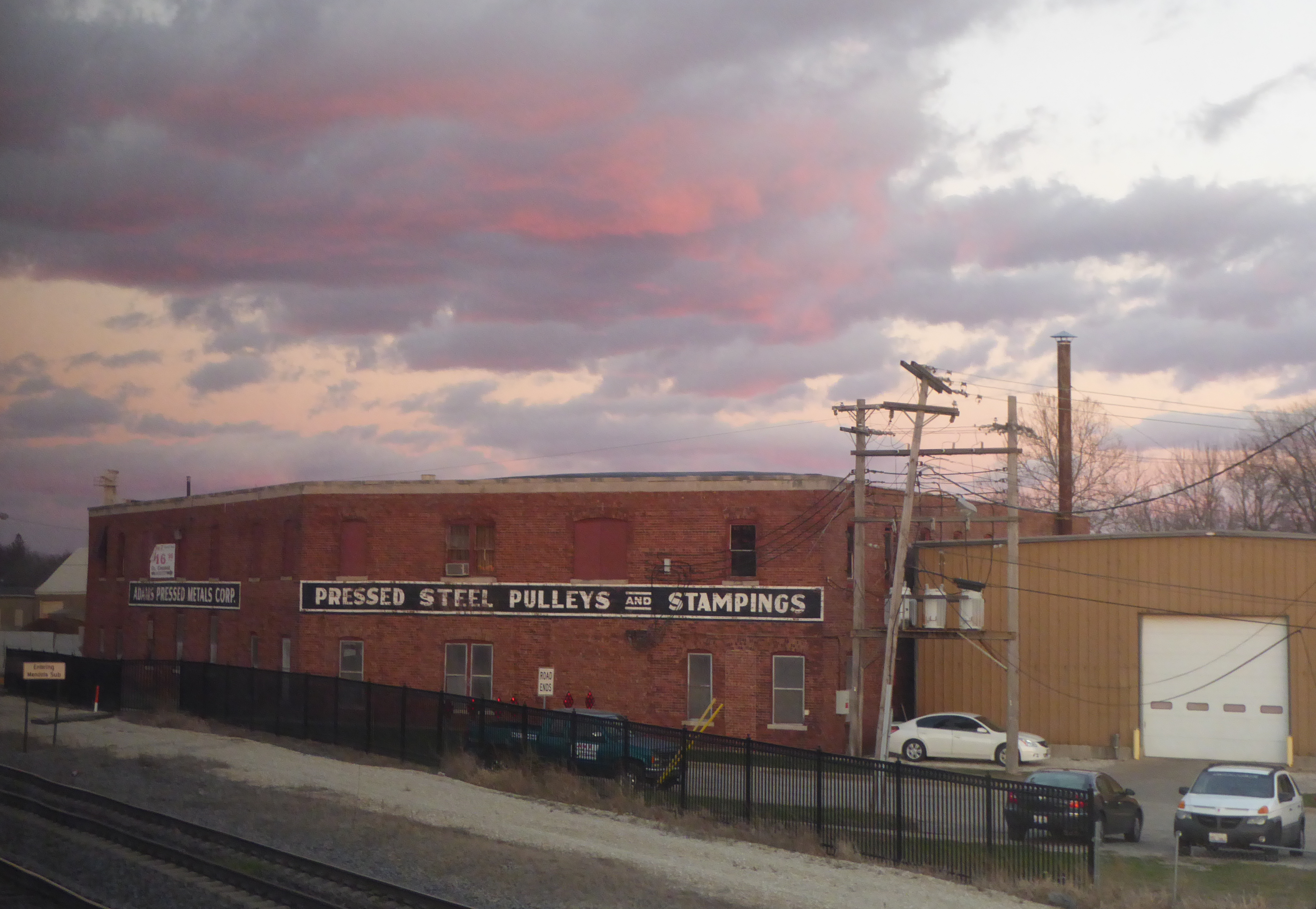
Well, all journeys eventually come to an end. We once again rode the “California Zephyr” train on which we began this vacation. This time it was taking us from Chicago home to Colorado.
After our arrival in Denver, we took RTD “light rail” and then a bus back to our apartment.
Then a nice long nap!!
Closing Thought:
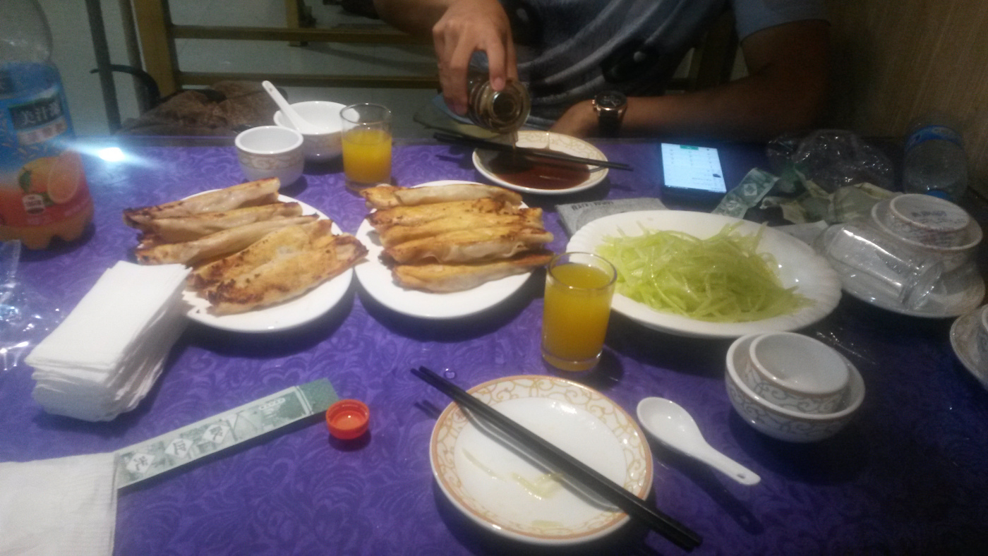
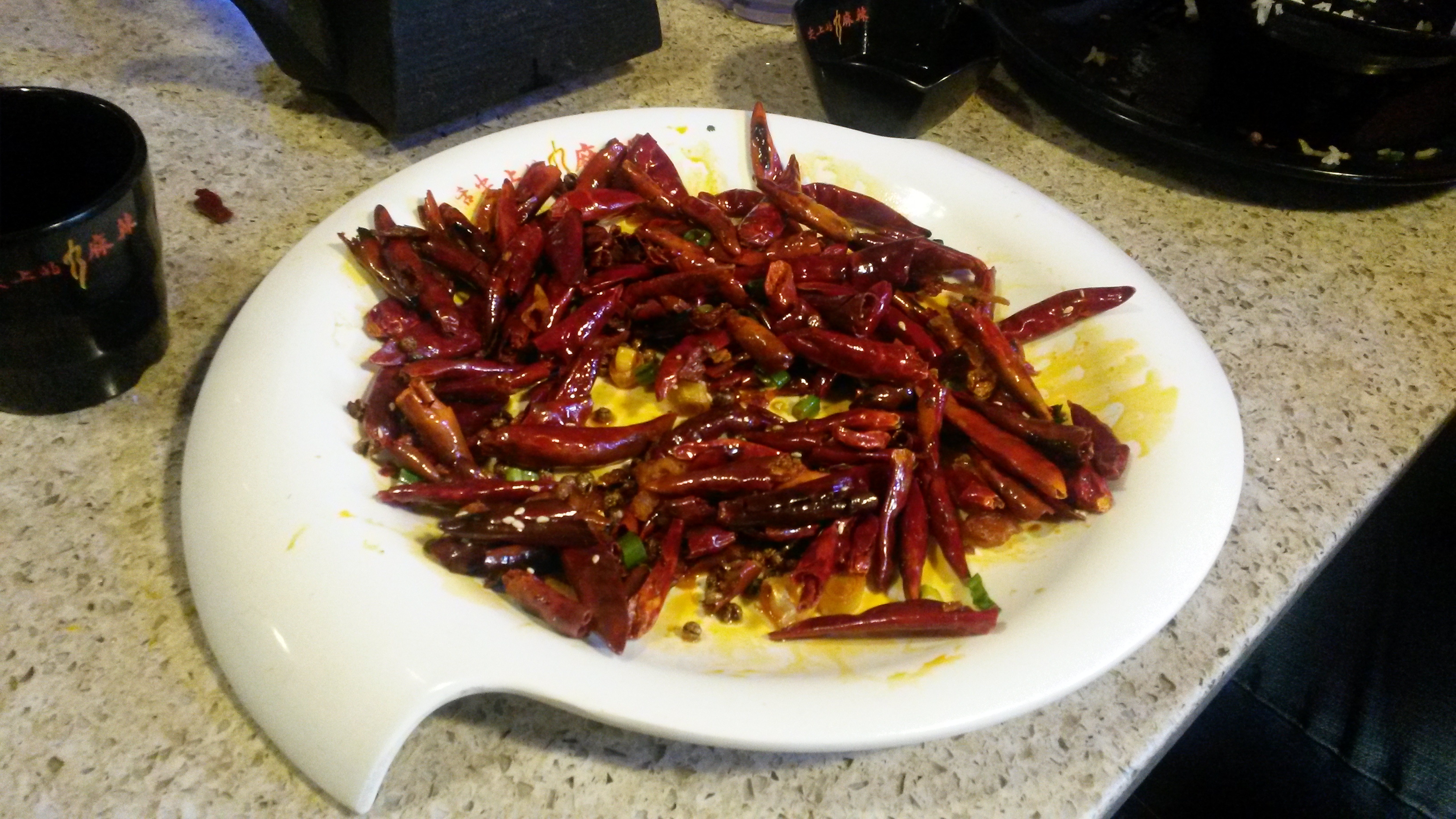
A note to any other “foodies”: We enjoyed the food we ate in San Francisco’s Chinatown very much. I wish I could find as Chinese food that was as good in Denver!

But honestly the dumplings did not compare with those I had in Chengde (Hebei province) and the chicken dish was no match for what I ate in Chengdu (Sichuan province). So if you ever get a craving to try the real thing… hop on a plane for a looooog flight to China!
Well, I finally got around to sorting through some of my photos from my 2015 trip to China. You can take a peek at the overview by clicking on this link: China-2015.